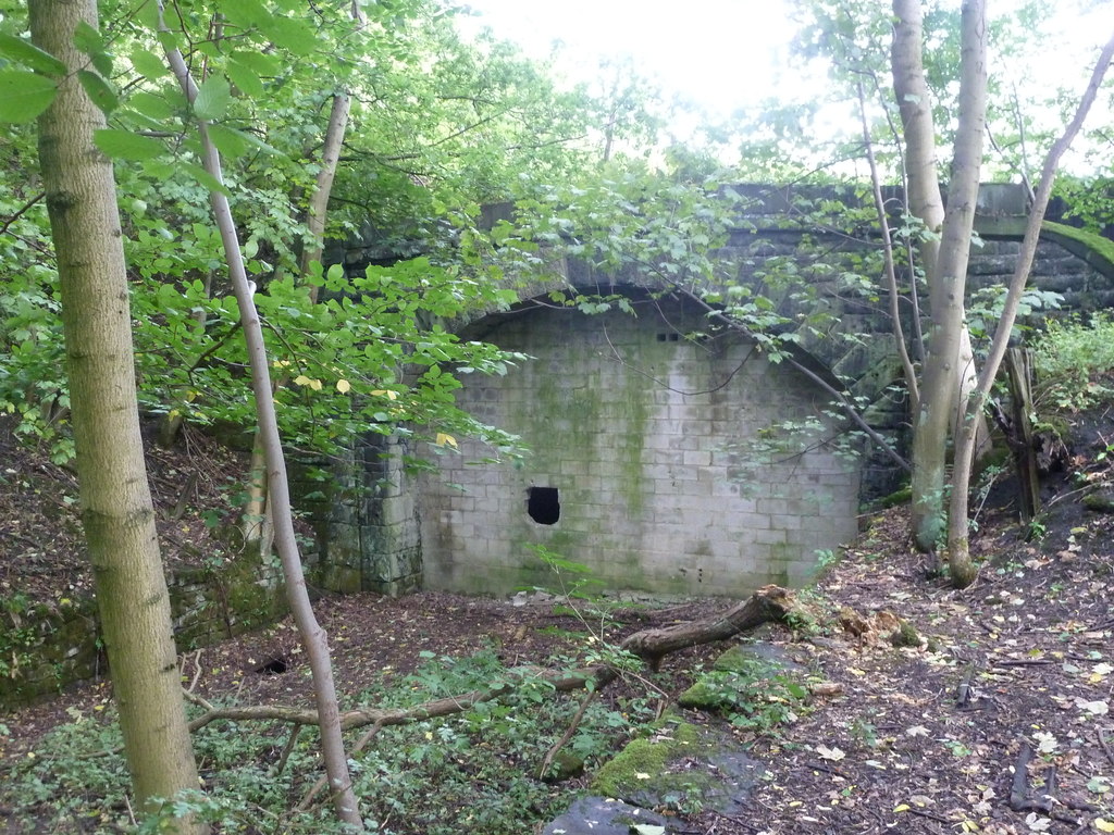
Buck Pingle Plantation
Wood, Forest in Derbyshire Derbyshire Dales
England
Buck Pingle Plantation
Buck Pingle Plantation is a picturesque woodland located in Derbyshire, England. Spanning over a vast area, the plantation is known for its dense forest cover, making it an ideal destination for nature enthusiasts and hikers alike.
The woodland is characterized by a variety of tree species, including oak, beech, and pine, creating a diverse and vibrant ecosystem. The towering trees provide a canopy that filters sunlight, casting a dappled shade on the forest floor. This creates a cool and tranquil environment, perfect for a peaceful stroll or a picnic amidst nature.
The plantation is home to an array of wildlife, with many species finding refuge in its lush surroundings. Visitors might come across squirrels scurrying through the treetops or catch a glimpse of a deer gracefully navigating through the undergrowth. Bird watchers will also be delighted to spot a variety of feathered creatures, such as woodpeckers, owls, and songbirds.
For those looking to explore the woodland, Buck Pingle Plantation offers several well-maintained trails that wind through the forest. These paths cater to different levels of difficulty, accommodating both leisurely walkers and experienced hikers. Along the way, one can discover hidden streams, charming clearings, and breathtaking viewpoints that offer panoramic vistas of the surrounding countryside.
Buck Pingle Plantation is a treasure trove of natural beauty, providing visitors with an opportunity to connect with the great outdoors. Whether it's for a leisurely stroll, a family outing, or a chance to immerse oneself in the wonders of nature, this woodland offers an enchanting experience for all who visit.
If you have any feedback on the listing, please let us know in the comments section below.
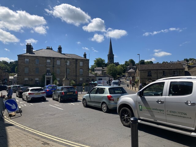
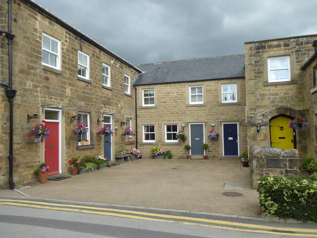
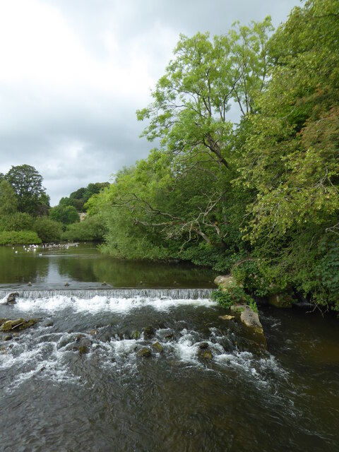
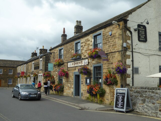
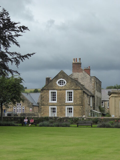
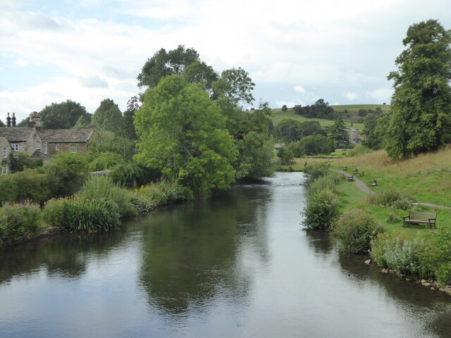
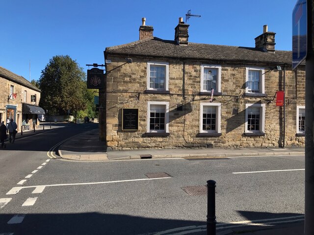
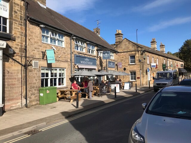
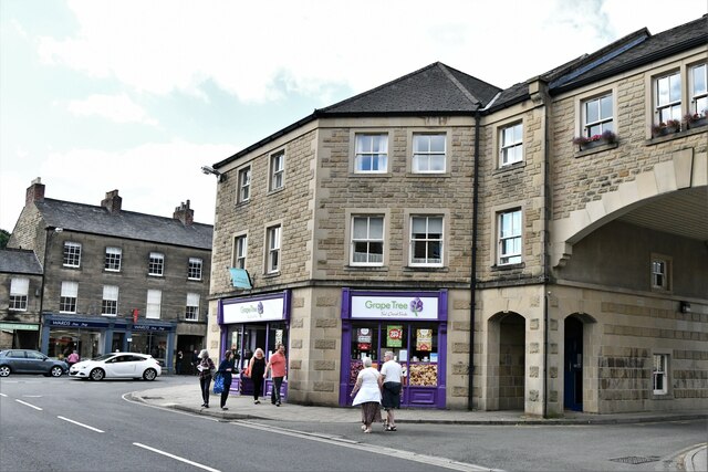
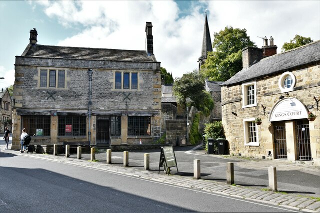
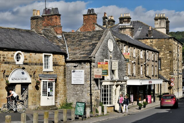
Buck Pingle Plantation Images
Images are sourced within 2km of 53.206095/-1.6518356 or Grid Reference SK2367. Thanks to Geograph Open Source API. All images are credited.

Buck Pingle Plantation is located at Grid Ref: SK2367 (Lat: 53.206095, Lng: -1.6518356)
Administrative County: Derbyshire
District: Derbyshire Dales
Police Authority: Derbyshire
What 3 Words
///detergent.sweated.decks. Near Bakewell, Derbyshire
Related Wikis
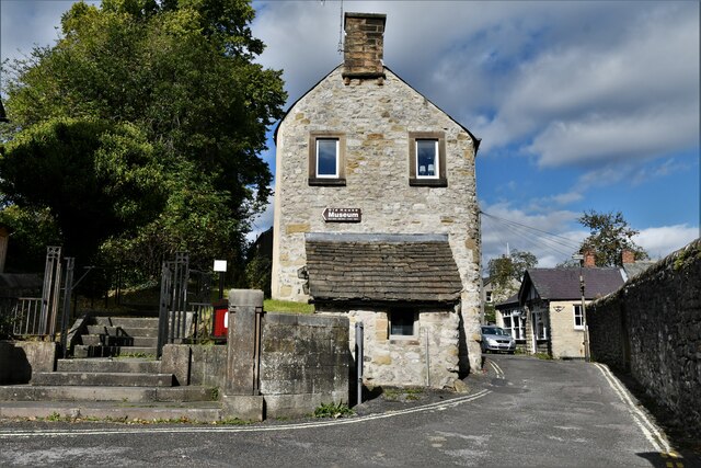
Haddon Tunnel
Haddon Tunnel was built by the Midland Railway in 1863 when extending the Manchester, Buxton, Matlock and Midlands Junction Railway from Rowsley to Buxton...

Burton Closes
Burton Closes is a 19th-century country house, now in use as a residential nursing home, situated at Haddon Road, Bakewell, Derbyshire. It is a Grade II...
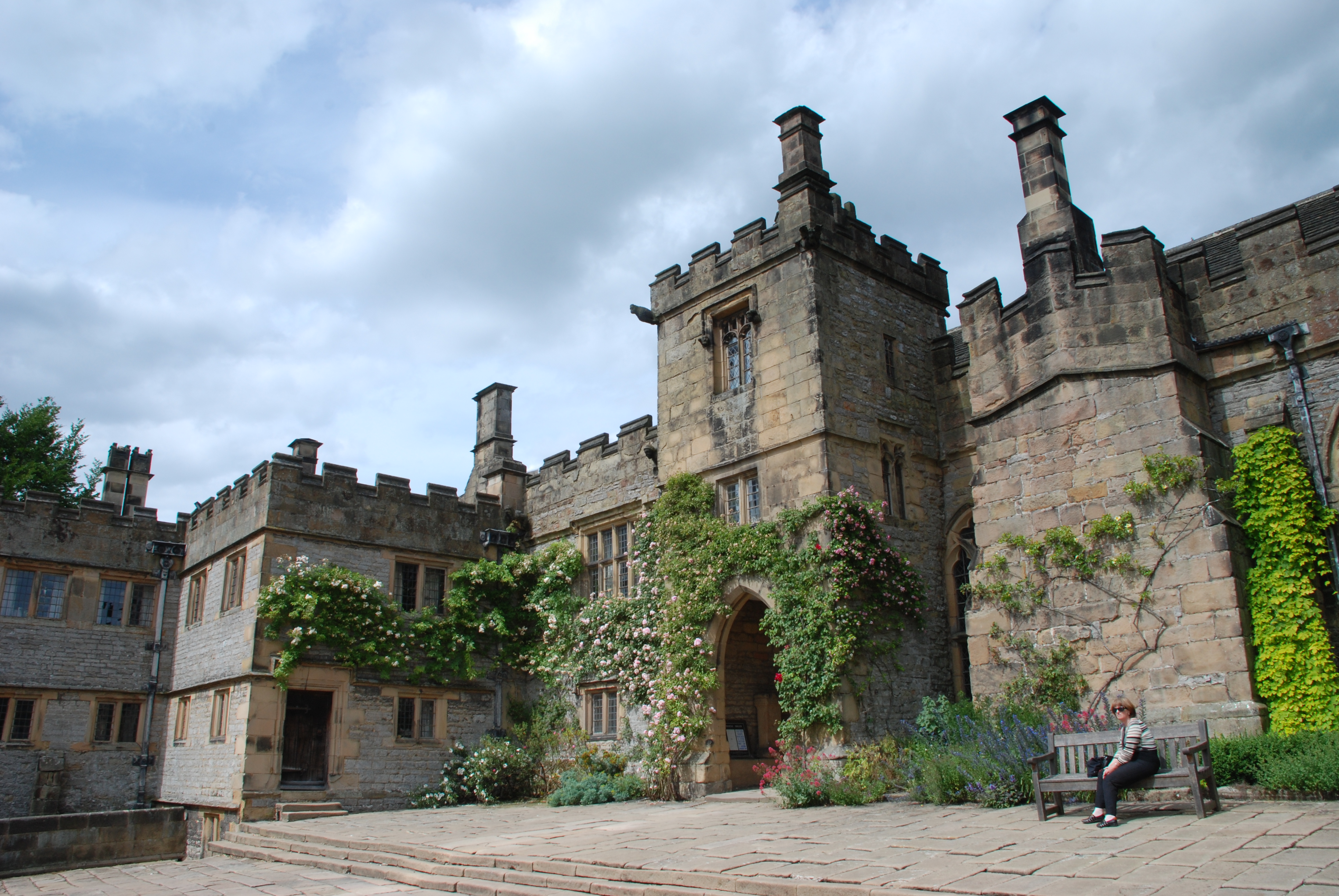
Haddon Hall
Haddon Hall is an English country house on the River Wye near Bakewell, Derbyshire, a former seat of the Dukes of Rutland. It is the home of Lord Edward...
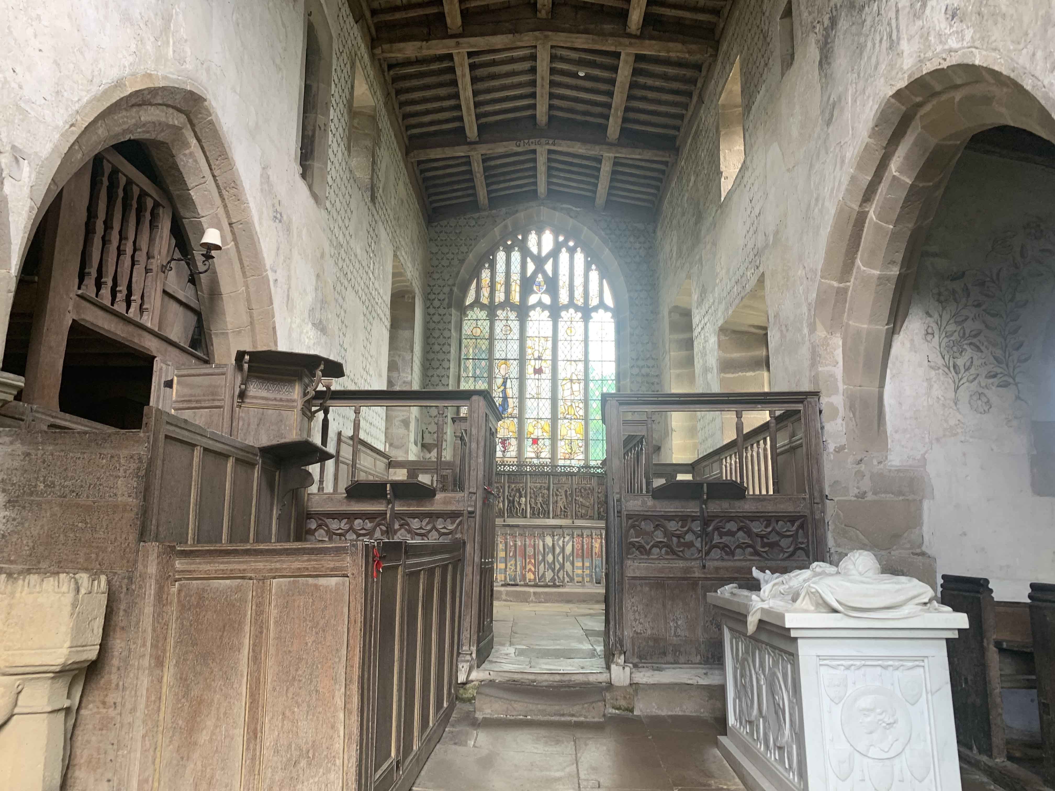
Chapel of St Nicholas, Haddon Hall
The Chapel St John Nicholas, Haddon Hall is a Grade I listed Church of England chapel in Haddon Hall, Derbyshire. The chapel's origins are Norman, with...
Nether Haddon
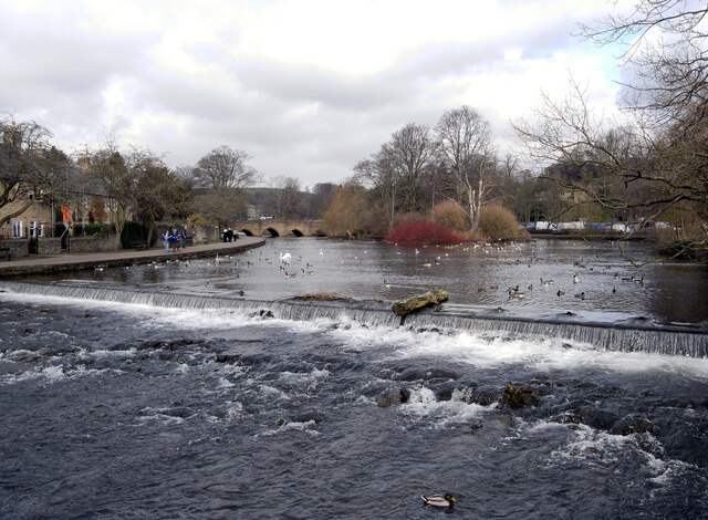
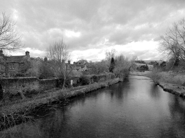
Nether Haddon is a sparsely populated village and civil parish in Derbyshire, England. It is immediately downstream along the River Wye from the small...

Bakewell Castle
Bakewell Castle was in the town of Bakewell, Derbyshire (grid reference SK221688). It was a motte and bailey castle. According to some sources it was built...

Lees Priory
Lees Priory is a former Augustinian Priory located in Derbyshire, United Kingdom. == History == Lees Priory was located near to Chatsworth House, in an...
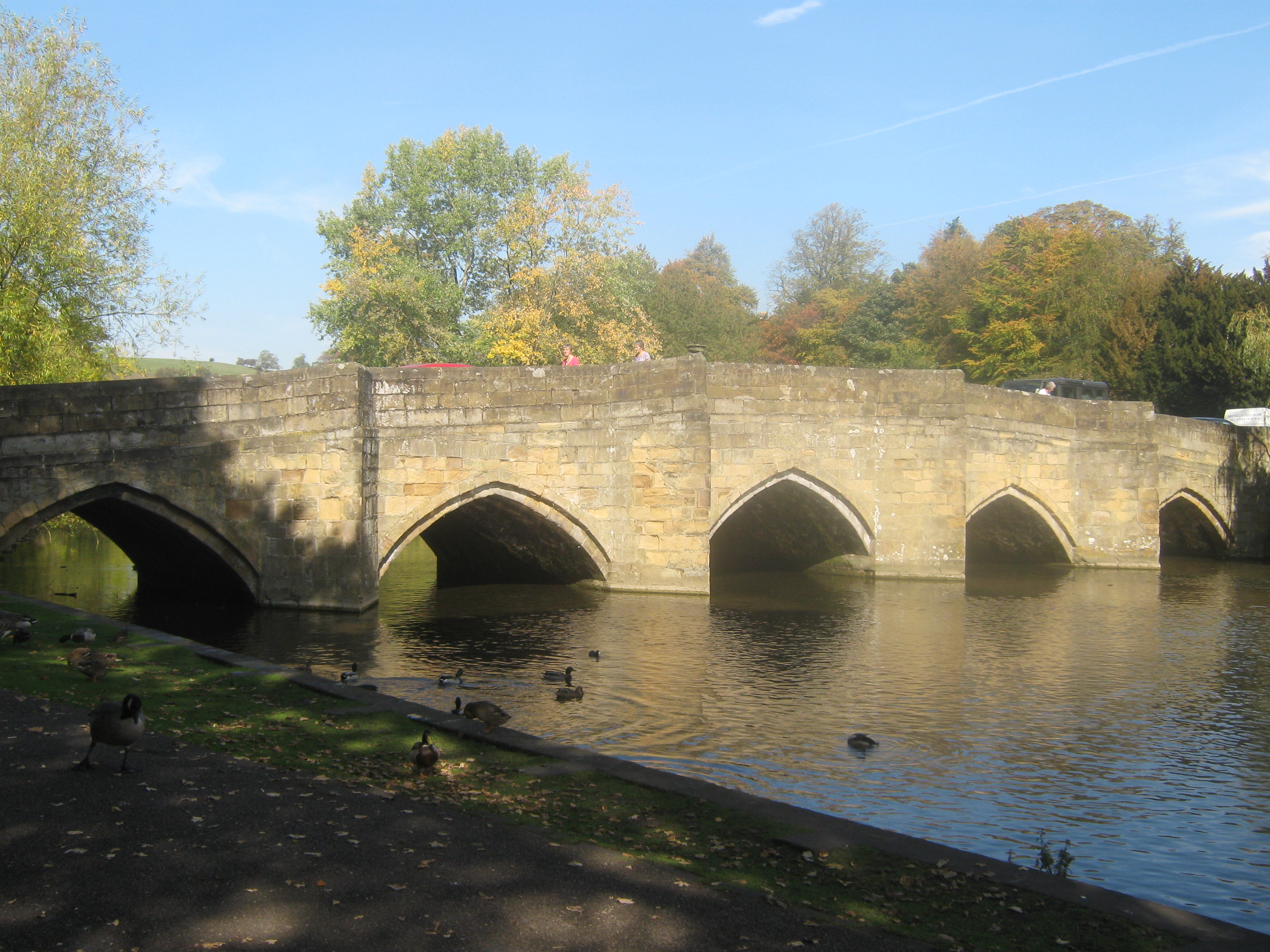
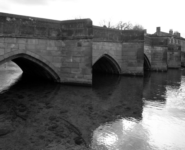
Bakewell Bridge
Bakewell Bridge is a Grade I listed stone arch bridge spanning the River Wye in Bakewell, Derbyshire. The bridge is also a scheduled monument. == History... ==
Nearby Amenities
Located within 500m of 53.206095,-1.6518356Have you been to Buck Pingle Plantation?
Leave your review of Buck Pingle Plantation below (or comments, questions and feedback).