Nursery Wood

Wood, Forest in Yorkshire Harrogate

England

Nursery Wood

Above the Ure Taken next to the car park north of Grewelthorpe. Paths lead down to the River Ure from here.
Above the Ure Credit: DS Pugh

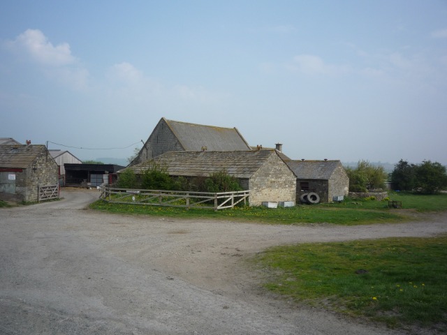
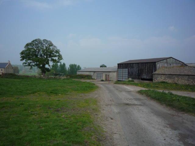
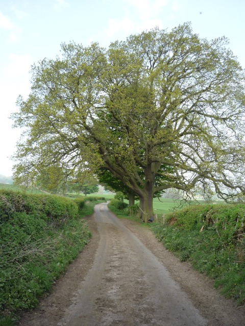
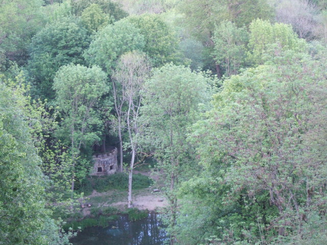
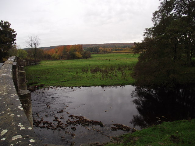
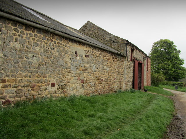
Nursery Wood is a picturesque forest located in the county of Yorkshire, England. Spread across a vast area, this woodland is known for its stunning natural beauty and abundant wildlife. The wood is situated in a rural area, surrounded by rolling hills and meadows, providing a tranquil and peaceful atmosphere for visitors.

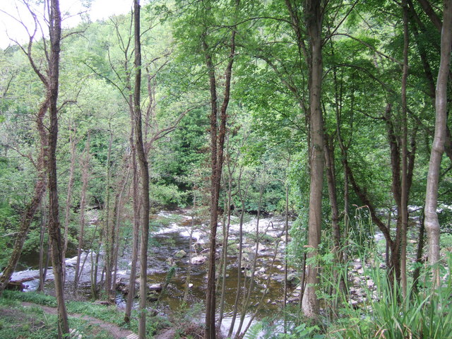
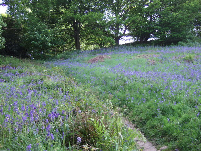
The forest is primarily composed of a variety of deciduous trees, including oak, beech, and birch. These towering trees create a dense canopy, casting dappled sunlight on the forest floor below. As one explores the woodland, they will encounter a rich undergrowth of ferns, mosses, and wildflowers, adding to the enchanting ambiance.

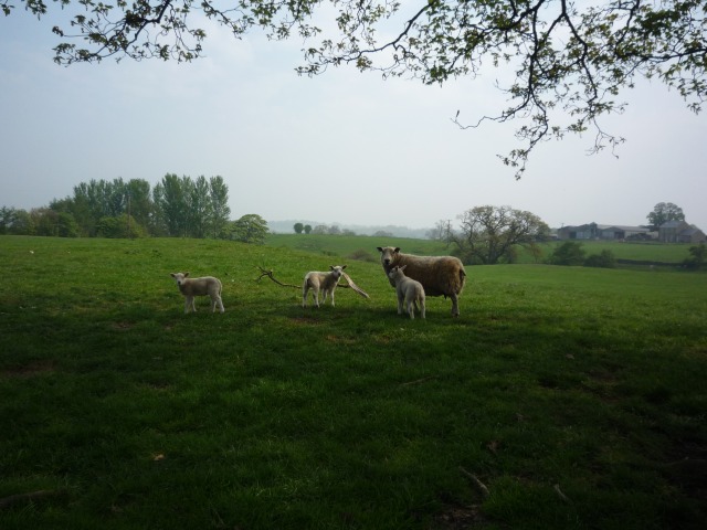
Nursery Wood is home to a diverse range of wildlife, making it a haven for nature enthusiasts and birdwatchers. Visitors may spot various bird species such as woodpeckers, owls, and thrushes. Other inhabitants include foxes, badgers, and deer, which roam freely within the wood.

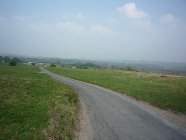
The wood offers a network of well-maintained walking trails, enabling visitors to explore the forest at their own pace. These paths meander through the trees, providing opportunities to appreciate the natural surroundings and observe the wildlife. Additionally, there are picnic areas and benches scattered throughout the woodland, allowing visitors to take a break and soak in the peaceful ambiance.

Nursery Wood is a popular destination for both locals and tourists seeking a retreat from the hustle and bustle of daily life. Its natural beauty, abundant wildlife, and serene atmosphere make it an ideal location for nature lovers and those seeking solace in the great outdoors.

If you have any feedback on the listing, please let us know in the comments section below.

Nursery Wood Images

Images are sourced within 2km of 54.208239/-1.6434388 or Grid Reference SE2379. Thanks to Geograph Open Source API. All images are credited.

Above the Ure Taken next to the car park north of Grewelthorpe. Paths lead down to the River Ure from here.
Above the Ure
Taken next to the car park north of Grewelthorpe. Paths lead down to the River Ure from here.
Road to Roomer The road to Masham and the road to Roomer & Swinton diverege here.
Road to Roomer
The road to Masham and the road to Roomer & Swinton diverege here.
Farm at Roomer On the road between Grewelthorpe and Swinton.
Farm at Roomer
On the road between Grewelthorpe and Swinton.
Roomer A farm stands between Grewelthorpe and Swinton.
Roomer
A farm stands between Grewelthorpe and Swinton.
Lambs off Roomer Lane A ewe and three lambs between Grewelthorpe and Swinton.
Lambs off Roomer Lane
A ewe and three lambs between Grewelthorpe and Swinton.
Roomer Lane Looking along Roomer Lane, between Grewelthorpe and Swinton.
Roomer Lane
Looking along Roomer Lane, between Grewelthorpe and Swinton.
Hackfall Woods - the fountain at the fountain pond in full flow The Woodland Trust's 'Hackfall Walks' leaflet describes the fountain as follows - 'The fountain at the pond was originally created in 1756 as part of William Aislabie's master plan for Hackfall...... The fountain has now been restored using modern pipework and a gravity feed system filled from a natural spring on the hillside above. Once a certain water level is achieved in the system, a tumbler opens a valve and water flows to the fountain'. The Ruin folly can be seen on the skyline.
Hackfall Woods - the fountain at the fountain pond in full flow
The Woodland Trust's 'Hackfall Walks' leaflet describes the fountain as follows - 'The fountain at the pond was originally created in 1756 as part of William Aislabie's master plan for Hackfall...... The fountain has now been restored using modern pipework and a gravity feed system filled from a natural spring on the hillside above. Once a certain water level is achieved in the system, a tumbler opens a valve and water flows to the fountain'. The Ruin folly can be seen on the skyline.
Hackfall Woods - the River Ure from Fisher's Hall
Hackfall Woods - The Grotto
The River Ure from Hackfall Wood This was taken from just by Fisher's Hall.
The River Ure from Hackfall Wood
This was taken from just by Fisher's Hall.
Hackfall Woods - The Fountain Pond and the Rustic Temple Taken from by the Ruin folly.
Hackfall Woods - The Fountain Pond and the Rustic Temple
Taken from by the Ruin folly.
Hackfall Woods - bluebells, May 2011
Low Burn Bridge over the River Burn near Masham
Woodland track, Nutwith Common Woodland track in Oak Bank Gill on the edge of Nutwith Common. The track is also a public footpath.
Woodland track, Nutwith Common
Woodland track in Oak Bank Gill on the edge of Nutwith Common. The track is also a public footpath.
Pines on Oak Bank Plenty of pine trees on Oak Bank, but little evidence of oaks. Looking back through old OS maps, it appears that this eastern end of Nutwith Common has been wooded for a very long time [at least since the mid 19thC]. However, the major part of the common appears to have had few trees until after 1956, the present extensive plantations not appearing on maps until the 1970's.
Pines on Oak Bank
Plenty of pine trees on Oak Bank, but little evidence of oaks. Looking back through old OS maps, it appears that this eastern end of Nutwith Common has been wooded for a very long time [at least since the mid 19thC]. However, the major part of the common appears to have had few trees until after 1956, the present extensive plantations not appearing on maps until the 1970's.
Outside Binsoe Grange Outbuildings beside the lane, belonging to Binsoe Grange Farm.
Outside Binsoe Grange
Outbuildings beside the lane, belonging to Binsoe Grange Farm.
The River Ure in Hack Fall Woods The river flows through a deep wooded valley between West Tanfield and Masham - accessible only from the west bank.
The River Ure in Hack Fall Woods
The river flows through a deep wooded valley between West Tanfield and Masham - accessible only from the west bank.
Fountain Pond, Hack Fall The fountain here is gravity fed from a nearby spring, and when there is sufficient pressure the water suddenly shoots up some 10m or more before subsiding again.
Fountain Pond, Hack Fall
The fountain here is gravity fed from a nearby spring, and when there is sufficient pressure the water suddenly shoots up some 10m or more before subsiding again.
Show me another place!

Nursery Wood is located at Grid Ref: SE2379 (Lat: 54.208239, Lng: -1.6434388)

Division: North Riding

Administrative County: North Yorkshire

District: Harrogate

Police Authority: North Yorkshire

What 3 Words

///rashers.blemishes.half. Near Masham, North Yorkshire

Related Wikis

Burton-on-Yore

Burton-on-Yore (historically also Burton upon Ure) is a civil parish in the Harrogate district of North Yorkshire, England, facing Masham across the River...

Church of St Mary the Virgin, Masham

The Church of St Mary the Virgin, Masham (also known as the Church of St Mary or St Mary's Church), is the parish church in the town of Masham, North Yorkshire...
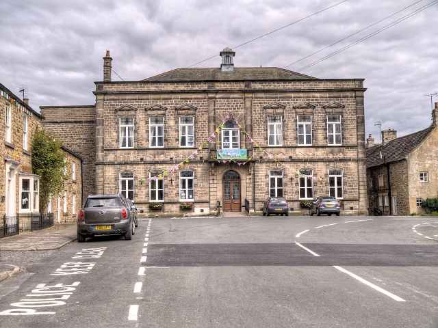
Masham Town Hall

Masham Town Hall is a municipal building in the Little Market Place, Masham, North Yorkshire, England. The structure, which is used as an events venue...
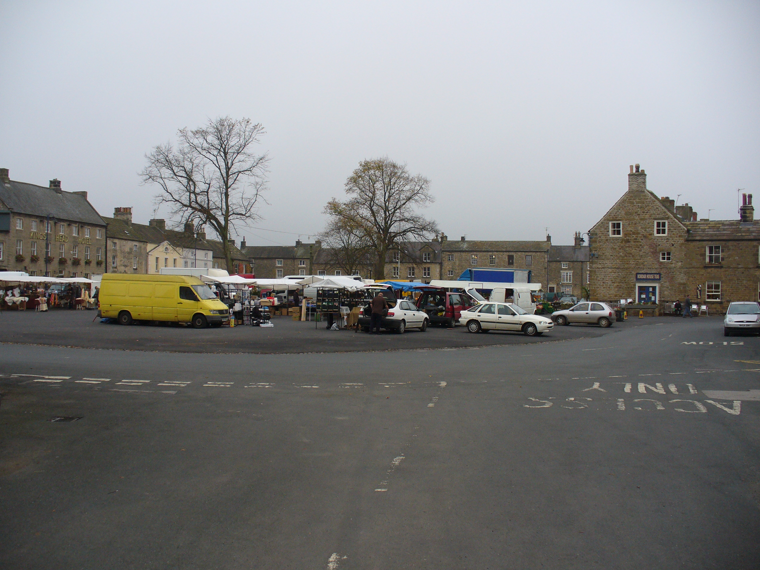
Masham

Masham ( MASS-əm) is a market town and civil parish in North Yorkshire, England. It had a population of 1,205 at the 2011 census. == Etymology == In Wensleydale...

Nearby Amenities

Located within 500m of 54.208239,-1.6434388
Barrier: kissing_gate
Lat/Long: 54.2042721/-1.6451509
Barrier: kissing_gate
Lat/Long: 54.2086389/-1.6457151
Barrier: kissing_gate
Lat/Long: 54.2091882/-1.6464582
Ford: yes
Source: survey
Lat/Long: 54.206118/-1.6437472
Information: route_marker
Tourism: information
Lat/Long: 54.2086455/-1.6456972
Information: route_marker
Tourism: information
Lat/Long: 54.2091958/-1.6464365
Power: pole
Lat/Long: 54.2060486/-1.6473881
The data included in this document is from www.openstreetmap.org. The data is made available under ODbL.

Have you been to Nursery Wood?

Leave your review of Nursery Wood below (or comments, questions and feedback).