Van Dieman's Plantation
Wood, Forest in Yorkshire Harrogate
England
Van Dieman's Plantation
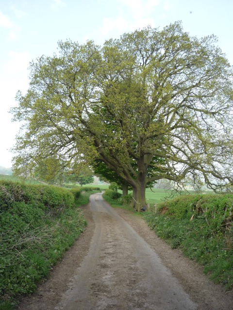
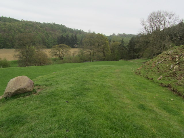
Van Dieman's Plantation is a picturesque woodland located in Yorkshire, England. Situated in the heart of the county, this woodland is a popular destination for nature lovers and outdoor enthusiasts. Covering an area of approximately 500 acres, it is a thriving forest that boasts diverse flora and fauna.
The woodland is primarily composed of deciduous trees, including oak, birch, and beech, which provide a stunning display of colors during the autumn season. The dense canopy of the trees creates a serene and tranquil atmosphere, making it an ideal spot for walking, hiking, and picnicking.
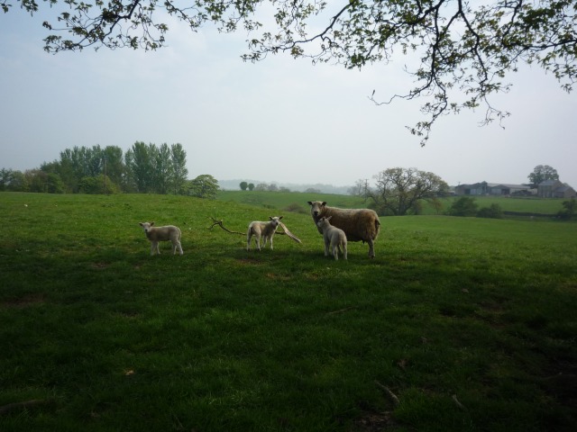
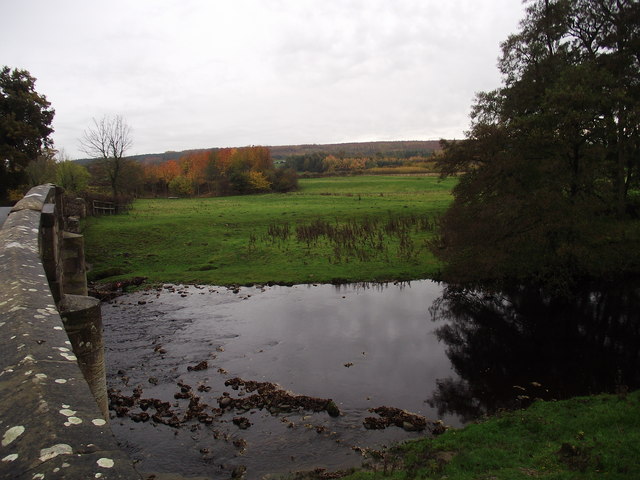
The plantation is home to a variety of wildlife species, including deer, foxes, rabbits, and numerous bird species. Birdwatchers can spot woodpeckers, owls, and other woodland birds in their natural habitat. The forest also encompasses a small lake, where visitors can observe ducks, swans, and other aquatic birds.
Van Dieman's Plantation has well-maintained trails that wind through the woodland, offering visitors the opportunity to explore the area at their own pace. The trails are suitable for all levels of fitness, and there are options for both short walks and longer hikes. Along the trails, there are informative signposts that provide interesting facts about the local ecology and history of the area.
Overall, Van Dieman's Plantation is a charming woodland that offers a peaceful retreat from the hustle and bustle of everyday life. Whether it's for a leisurely stroll, a family outing, or a wildlife adventure, this woodland provides a delightful experience for visitors of all ages.
If you have any feedback on the listing, please let us know in the comments section below.
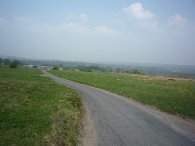
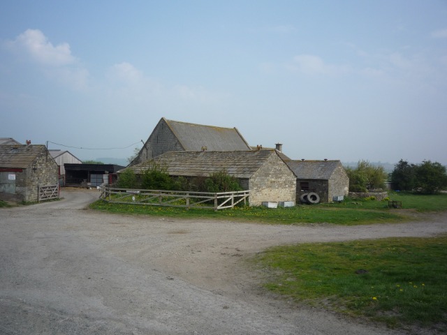
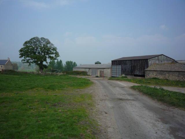
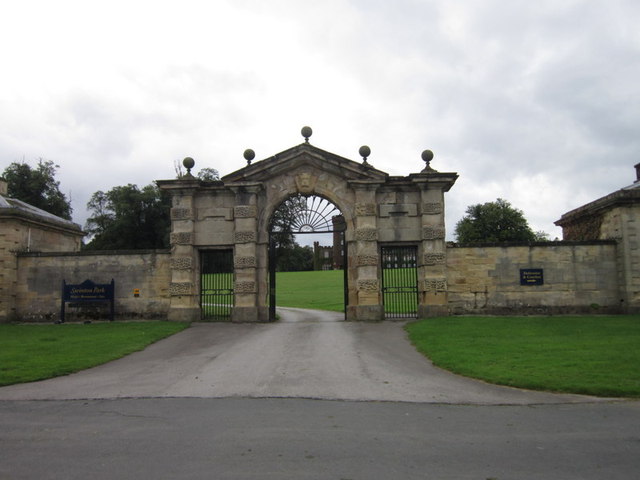
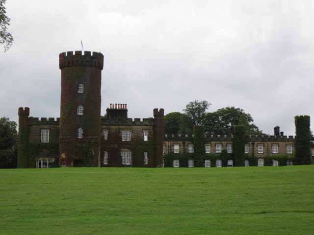
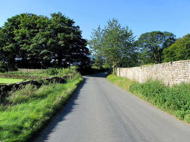
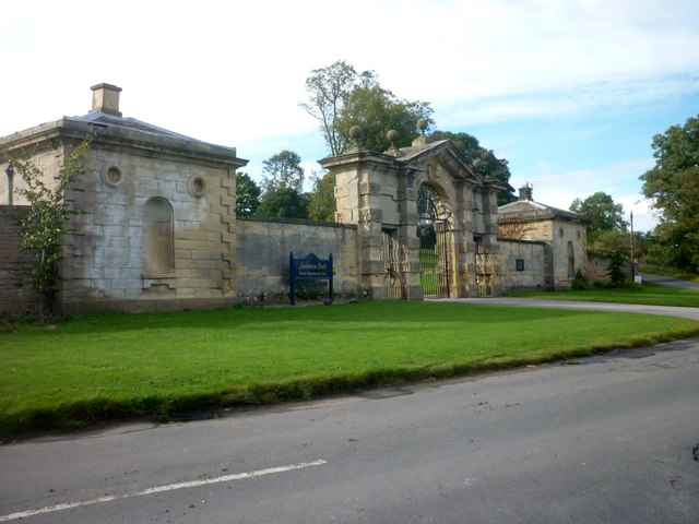
Van Dieman's Plantation Images
Images are sourced within 2km of 54.212226/-1.6482192 or Grid Reference SE2379. Thanks to Geograph Open Source API. All images are credited.

Van Dieman's Plantation is located at Grid Ref: SE2379 (Lat: 54.212226, Lng: -1.6482192)
Division: North Riding
Administrative County: North Yorkshire
District: Harrogate
Police Authority: North Yorkshire
What 3 Words
///eaten.protrude.printer. Near Masham, North Yorkshire
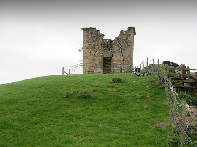
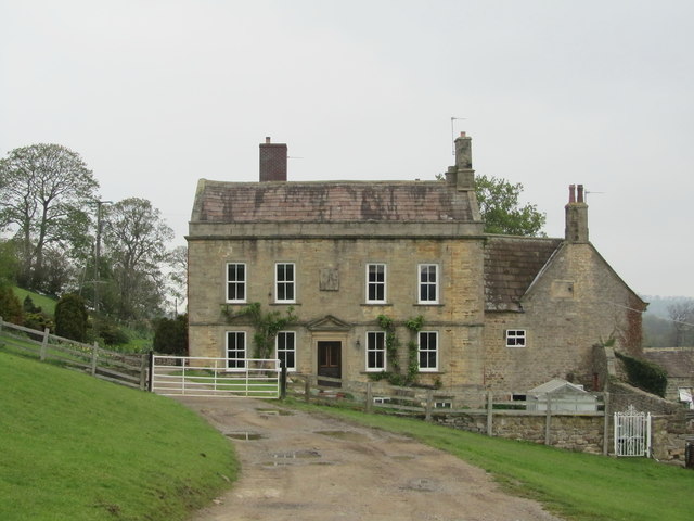
Nearby Locations
Related Wikis

Church of St Mary the Virgin, Masham
The Church of St Mary the Virgin, Masham (also known as the Church of St Mary or St Mary's Church), is the parish church in the town of Masham, North Yorkshire...
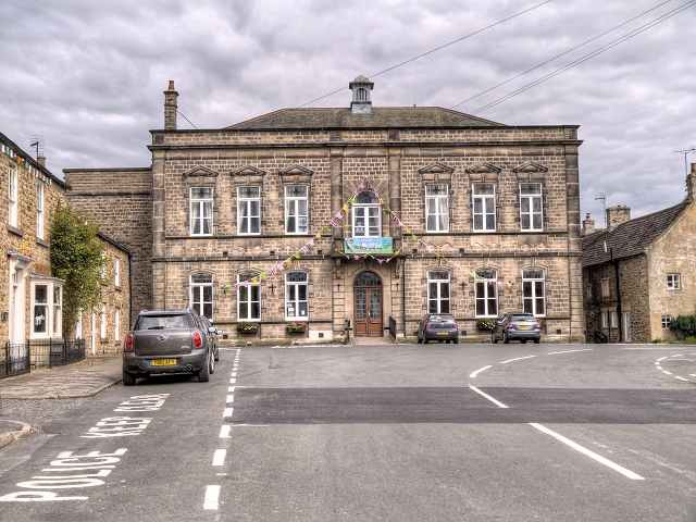
Masham Town Hall
Masham Town Hall is a municipal building in the Little Market Place, Masham, North Yorkshire, England. The structure, which is used as an events venue...
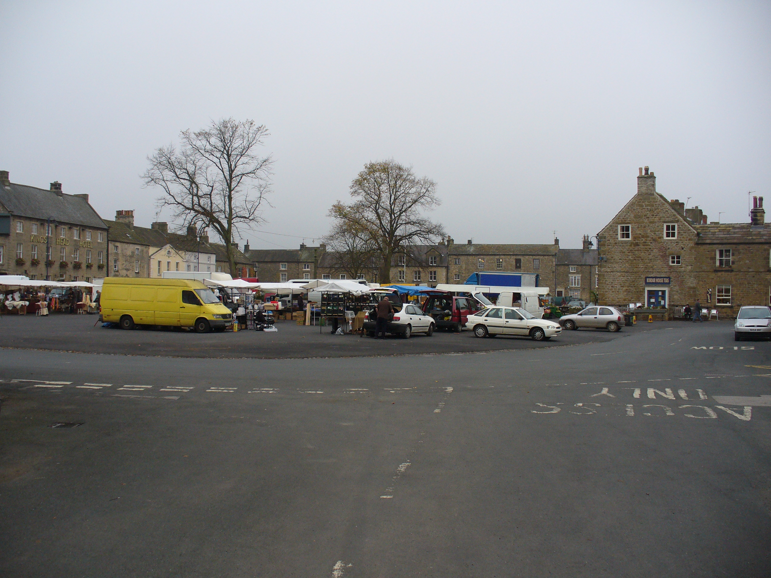
Masham
Masham ( MASS-əm) is a market town and civil parish in North Yorkshire, England. It had a population of 1,205 at the 2011 census. == Etymology == In Wensleydale...

Burton-on-Yore
Burton-on-Yore (historically also Burton upon Ure) is a civil parish in the Harrogate district of North Yorkshire, England, facing Masham across the River...
Nearby Amenities
Located within 500m of 54.212226,-1.6482192Have you been to Van Dieman's Plantation?
Leave your review of Van Dieman's Plantation below (or comments, questions and feedback).