Fells Plantation

Wood, Forest in Yorkshire

England

Fells Plantation

Robert Craven Memorial Hall Built in 1896, this is the village hall for the village of Bramhope. Built using a legacy of a local farmer, Robert Craven.
Robert Craven Memorial Hall Credit: Graham Firth

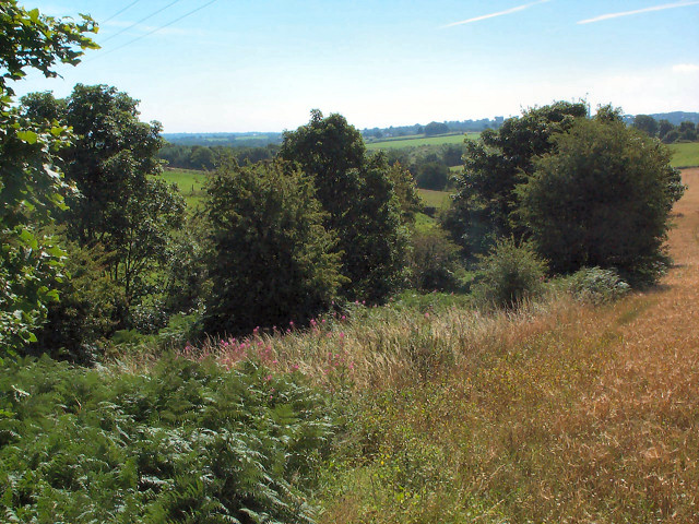
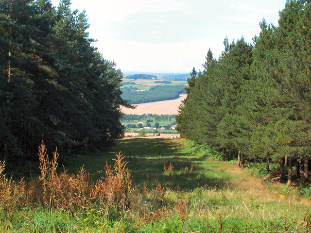
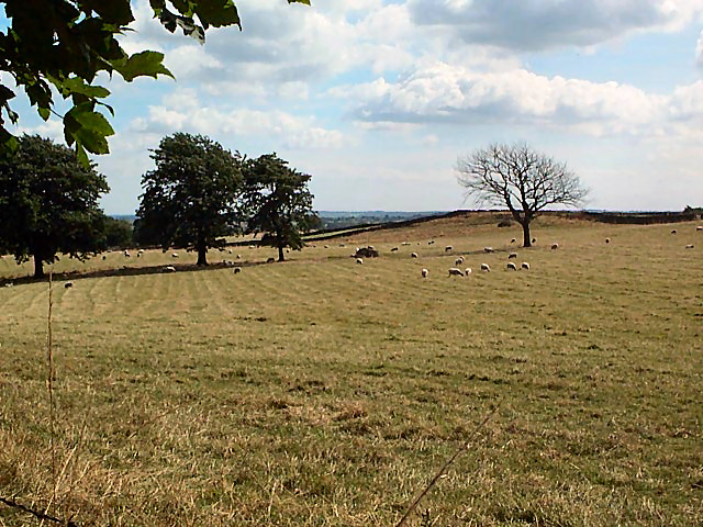
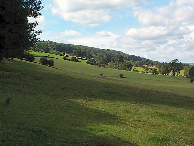
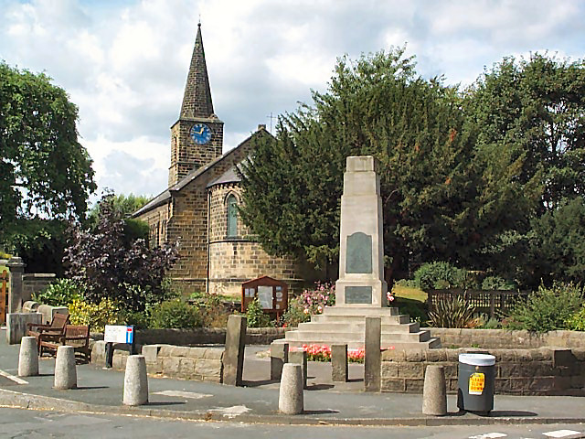
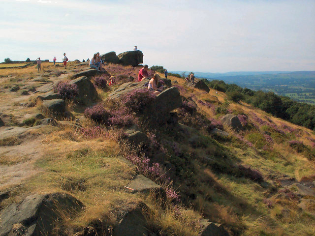
Fells Plantation, located in Yorkshire, England, is a stunning woodland area known for its natural beauty and rich biodiversity. Spanning over a vast area, the plantation is a thriving forest that offers a serene and picturesque environment for visitors.

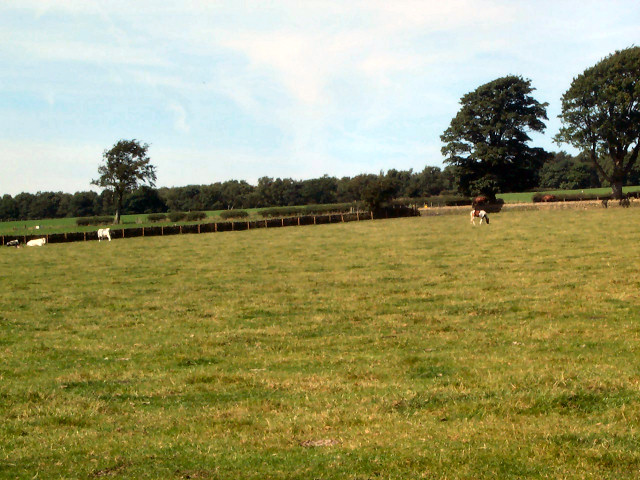
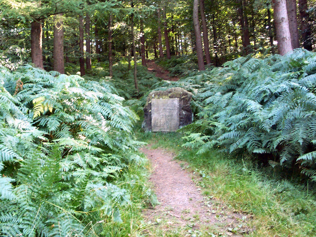
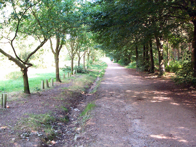
The woodland is primarily composed of native tree species such as oak, beech, and birch, which create a dense canopy providing shelter and food for a diverse range of wildlife. The forest floor is covered in a lush carpet of ferns, mosses, and wildflowers, contributing to the enchanting atmosphere of the plantation.

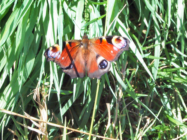
Fells Plantation is home to an array of wildlife, including various bird species such as woodpeckers, owls, and songbirds. It is also a haven for mammals like deer, foxes, and badgers, which can often be spotted roaming through the woods. With its abundant flora and fauna, the plantation serves as an important habitat for numerous species and plays a vital role in the local ecosystem.

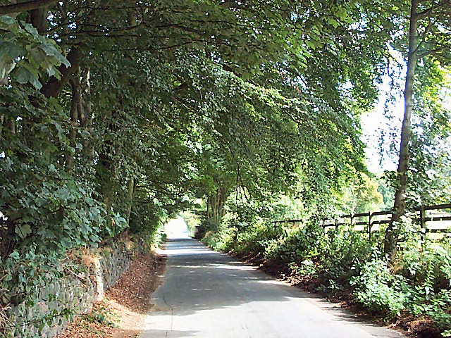
The plantation offers a network of well-maintained walking trails, allowing visitors to explore the woodland at their own pace. These trails wind through the forest, offering glimpses of stunning vistas, tranquil streams, and secluded meadows. Nature enthusiasts and hikers can enjoy the peaceful ambiance while immersing themselves in the natural wonders of Fells Plantation.

In addition to its natural beauty, Fells Plantation also serves as an educational resource, hosting guided tours and workshops on conservation and wildlife preservation. These initiatives aim to raise awareness about the importance of protecting and respecting the natural environment.

Overall, Fells Plantation in Yorkshire stands as a testament to the splendor of nature, offering a sanctuary for both wildlife and visitors alike.

If you have any feedback on the listing, please let us know in the comments section below.

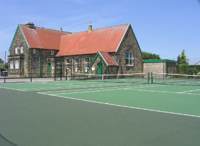
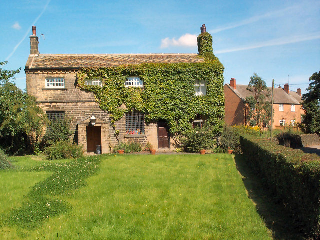
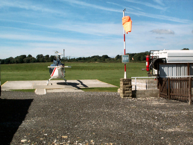
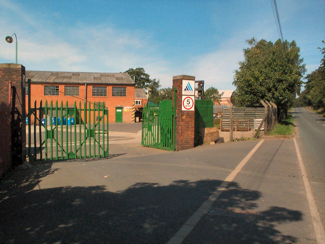
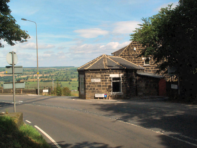
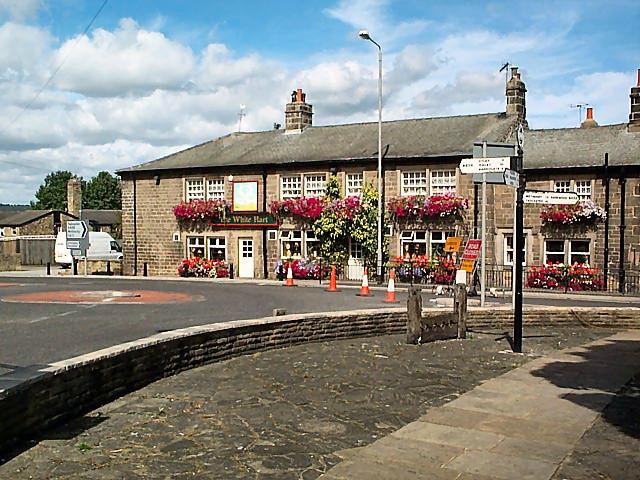
Fells Plantation Images

Images are sourced within 2km of 53.891438/-1.6508404 or Grid Reference SE2343. Thanks to Geograph Open Source API. All images are credited.

Robert Craven Memorial Hall Built in 1896, this is the village hall for the village of Bramhope. Built using a legacy of a local farmer, Robert Craven.
Robert Craven Memorial Hall
Built in 1896, this is the village hall for the village of Bramhope. Built using a legacy of a local farmer, Robert Craven.
Valley of Bramhope Beck View southeast towards None-go-bye's Hill.
Valley of Bramhope Beck
View southeast towards None-go-bye's Hill.
Carlton Church In East Carlton village, this unostentatious former church is now a private house.
Carlton Church
In East Carlton village, this unostentatious former church is now a private house.
Leeds Bradford Airport Industrial Estate The biggest thing in the gridsquare is the enormous, but thankfully well-screened, shed known as Leeds Bradford Airport Industrial Estate. This is the northern entrance gate on the A658. A tiny part of the northern end of the shed can be seen to the right.
Leeds Bradford Airport Industrial Estate
The biggest thing in the gridsquare is the enormous, but thankfully well-screened, shed known as Leeds Bradford Airport Industrial Estate. This is the northern entrance gate on the A658. A tiny part of the northern end of the shed can be seen to the right.
Leeds Heliport On the northwestern side of the A658.
Leeds Heliport
On the northwestern side of the A658.
Carlton Industrial Estate South of East Carlton village, this is the Austin Hayes factory. The area is increasingly characterised by industrial units tucked away in the hinterland of Leeds Bradford Airport.
Carlton Industrial Estate
South of East Carlton village, this is the Austin Hayes factory. The area is increasingly characterised by industrial units tucked away in the hinterland of Leeds Bradford Airport.
Footpath from East Carlton to Yorkgate The path across the field is defined only by the marker at the far side of the field, visible as a tiny yellow dot at the centre-right of the photo.
Footpath from East Carlton to Yorkgate
The path across the field is defined only by the marker at the far side of the field, visible as a tiny yellow dot at the centre-right of the photo.
Chevin Forest Park Looking northwards, through a break in the trees, over the Wharfe valley towards Farnley from the Dales Way Link.
Chevin Forest Park
Looking northwards, through a break in the trees, over the Wharfe valley towards Farnley from the Dales Way Link.
Memorial stone, Chevin Forest Park The rather underwhelming stone reads: REMEMBER / COUNTY ALDERMAN H J BAMBRIDGE OBE JP / COUNCILLOR R T A RENTON JP / ARCHDEACON T J WILLIAMS MC TD MA BD / WHO SERVED / GOD / THEIR COUNTRY / THEIR COUNTY / THIS VALLEY AND TOWNSHIP / 17TH JULY 1960 / THIS PLANTATION OF BRITISH / HARDWOOD TREES WAS THE GIFT OF / MAJOR LE G G W HORTON-FAWKES
Memorial stone, Chevin Forest Park
The rather underwhelming stone reads: REMEMBER / COUNTY ALDERMAN H J BAMBRIDGE OBE JP / COUNCILLOR R T A RENTON JP / ARCHDEACON T J WILLIAMS MC TD MA BD / WHO SERVED / GOD / THEIR COUNTRY / THEIR COUNTY / THIS VALLEY AND TOWNSHIP / 17TH JULY 1960 / THIS PLANTATION OF BRITISH / HARDWOOD TREES WAS THE GIFT OF / MAJOR LE G G W HORTON-FAWKES
Dales Way link, Chevin Forest Park Both the Dales Way link and the Ebor Way are routed east-west through the park. This is a view from the western end of the park, looking eastwards.
Dales Way link, Chevin Forest Park
Both the Dales Way link and the Ebor Way are routed east-west through the park. This is a view from the western end of the park, looking eastwards.
This is a PEACOCK butterfly :-) It was on the footpath behind Leeds Bradford Airport Industrial Estate. See <a title="https://www.geograph.org.uk/discuss/index.php?&action=vthread&forum=2&topic=603" href="https://www.geograph.org.uk/discuss/index.php?&action=vthread&forum=2&topic=603">Link</a>
This is a PEACOCK butterfly :-)
It was on the footpath behind Leeds Bradford Airport Industrial Estate. See Link
Old Pool Bank The original course of what is now the A658 was down this steep, narrow lane. This is right at the top, looking downwards (northwards).
Old Pool Bank
The original course of what is now the A658 was down this steep, narrow lane. This is right at the top, looking downwards (northwards).
Trees at the top of Pool Bank It's dead Jim. (The one on the right.)
Trees at the top of Pool Bank
It's dead Jim. (The one on the right.)
The Bar House, near Pool Halfway down the old Pool Bank, where it crosses the current A660 from Otley (left) to Leeds (right). Old Pool Bank disappears down to the left of The Bar House.
The Bar House, near Pool
Halfway down the old Pool Bank, where it crosses the current A660 from Otley (left) to Leeds (right). Old Pool Bank disappears down to the left of The Bar House.
Western end of Pool Bank The fields of the western end of Pool Bank.  Taken from Old Pool Bank near the dismantled railway line, looking westwards.
Western end of Pool Bank
The fields of the western end of Pool Bank. Taken from Old Pool Bank near the dismantled railway line, looking westwards.
Pool village Seen at the centre of Pool village are the old stocks, an old-style signpost, and the White Hart pub.
Pool village
Seen at the centre of Pool village are the old stocks, an old-style signpost, and the White Hart pub.
Pool war memorial and church Situated on the southwestern side of the A659 towards Otley.
Pool war memorial and church
Situated on the southwestern side of the A659 towards Otley.
Pool paper mill On the southern side of the A659.  Let's not discuss the paint job.
Pool paper mill
On the southern side of the A659. Let's not discuss the paint job.
Show me another place!

Fells Plantation is located at Grid Ref: SE2343 (Lat: 53.891438, Lng: -1.6508404)

Division: West Riding

Unitary Authority: Leeds

Police Authority: West Yorkshire

What 3 Words

///responded.provide.sunflower. Near Bramhope, West Yorkshire

Related Wikis

Carlton, Wharfedale

Carlton is a civil parish in the City of Leeds in West Yorkshire, England. It consists of the villages of East Carlton and West Carlton, and in 2001 had...

Pool-in-Wharfedale railway station

Pool-in-Wharfedale railway station was a railway station serving the village of Pool-in-Wharfedale in West Yorkshire, England. It was opened by the North...

Pool-in-Wharfedale

Pool-in-Wharfedale or Pool in Wharfedale, usually abbreviated to Pool, is a village and civil parish in Lower Wharfedale, West Yorkshire, England, 10 miles...

River Washburn

The River Washburn is a river in Yorkshire, England. It originates high in the Yorkshire Dales and ends where it meets the River Wharfe. It lies within...

Bramhope Tunnel

Bramhope Tunnel is on the Harrogate Line between Horsforth station and the Arthington Viaduct in West Yorkshire, England. Services through the railway...

The Chevin

The Chevin is the ridge on the south side of Wharfedale in Leeds, West Yorkshire, England, overlooking the market town of Otley, and often known as Otley...

Arthington railway station

Arthington railway station served the village of Arthington in the English county of West Yorkshire, near the North Yorkshire town of Harrogate. ��2...

Otley

Otley is a market town and civil parish at a bridging point on the River Wharfe, in the City of Leeds metropolitan borough in West Yorkshire, England....

Nearby Amenities

Located within 500m of 53.891438,-1.6508404
Old Name: Caley Deer Park
Place: locality
Lat/Long: 53.8926236/-1.6545189
Power: pole
Source: Bing
Lat/Long: 53.8931379/-1.6528352
Design: two-level
Power: pole
Source: Bing
Lat/Long: 53.8926755/-1.6471066
Design: two-level
Power: pole
Source: Bing
Lat/Long: 53.8922299/-1.6441891
Power: pole
Source: OS 1:25k
Lat/Long: 53.8931295/-1.6555638
Material: wood
Power: tower
Source: survey
Lat/Long: 53.8931873/-1.6505288
Source: Bing
Lat/Long: 53.8941849/-1.6490582
Power: pole
Source: Bing
Lat/Long: 53.8872802/-1.6482324
Power: pole
Source: Bing
Lat/Long: 53.8871818/-1.6483651
Bench
Backrest: yes
Lat/Long: 53.894287/-1.6563681
Barrier: kissing_gate
Bicycle: no
Foot: yes
Lat/Long: 53.8945142/-1.6511749
Generator Source: wind
Power: generator
Source: EsriWorldImageryClarity
Lat/Long: 53.8891786/-1.6518654
Design: h-frame
Material: wood
Power: tower
Lat/Long: 53.8933619/-1.6505367
Design: h-frame
Material: wood
Power: tower
Lat/Long: 53.8933718/-1.6502223
Power: pole
Lat/Long: 53.888544/-1.6554321
Power: pole
Lat/Long: 53.8887138/-1.6542761
Power: pole
Lat/Long: 53.8893113/-1.6537101
Power: pole
Lat/Long: 53.8899626/-1.6531361
Generator Method: photovoltaic
Generator Output Electricity: yes
Generator Source: solar
Generator Type: solar_photovoltaic_panel
Power: generator
Lat/Long: 53.8932529/-1.6463724
Power: pole
Lat/Long: 53.8892332/-1.6455169
Power: pole
Lat/Long: 53.8903131/-1.6446875
Power: pole
Lat/Long: 53.891234/-1.6443784
Power: pole
Lat/Long: 53.8929864/-1.6438027
Power: pole
Lat/Long: 53.8895861/-1.6452459
Power: pole
Lat/Long: 53.8877599/-1.6466607
Stone Age Steve
Artwork Subject: prehistoric man
Artwork Type: sculpture
Ele Ellipsoid: 288.236
Material: wood
Ref: 8
Tourism: artwork
Lat/Long: 53.8930554/-1.6565454
Roman Chariot
Artwork Subject: chariot
Artwork Type: sculpture
Material: wood
Ref: 6
Tourism: artwork
Lat/Long: 53.8944819/-1.6513211
Roman Chariot
Abandoned: yes
Artwork Subject: chariot
Artwork Type: sculpture
Material: wood
Note: not a duplicate, both exist
Tourism: artwork
Lat/Long: 53.8945311/-1.6513639
Caley Hall and Deer Park
Artwork Subject: deer
Artwork Type: sculpture
Material: wood
Ref: 5
Tourism: artwork
Lat/Long: 53.8950622/-1.6549295
Bronze and Iron Age
Artwork Type: sculpture
Ele Ellipsoid: 275.202
Material: wood
Ref: 7
Tourism: artwork
Lat/Long: 53.8912797/-1.652
Design: h-frame
Material: wood
Power: tower
Lat/Long: 53.8958917/-1.6501641
Design: h-frame
Material: wood
Power: tower
Lat/Long: 53.8959181/-1.6504151
Design: h-frame
Material: wood
Power: tower
Lat/Long: 53.8946818/-1.6504589
Design: h-frame
Material: wood
Power: tower
Lat/Long: 53.8946663/-1.6501823
Material: wood
Power: pole
Lat/Long: 53.8918142/-1.6515135
Material: wood
Power: pole
Lat/Long: 53.8912153/-1.6520383
Material: wood
Power: pole
Lat/Long: 53.8924068/-1.6509941
Design: h-frame
Material: wood
Power: tower
Lat/Long: 53.8929676/-1.6505027
Material: wood
Power: pole
Lat/Long: 53.8906598/-1.6525251
Bench
Backrest: no
Material: stone
Lat/Long: 53.8906213/-1.6504148
Information: trail_blaze
Material: wood
Tourism: information
Lat/Long: 53.8901997/-1.6492972
Material: wood
Power: tower
Source: survey
Lat/Long: 53.8931817/-1.6502815
The data included in this document is from www.openstreetmap.org. The data is made available under ODbL.

Have you been to Fells Plantation?

Leave your review of Fells Plantation below (or comments, questions and feedback).