Deer Hole Plantation
Wood, Forest in Derbyshire Derbyshire Dales
England
Deer Hole Plantation
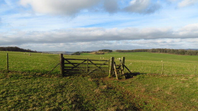
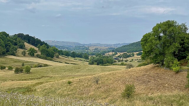
Deer Hole Plantation is a picturesque woodland located in Derbyshire, England. Spanning over a vast area, this stunning forest is a popular destination for nature enthusiasts and outdoor adventurers alike. The plantation is named after a historical deer hunting tradition that was once prevalent in the area.
The woodland is characterized by its dense canopy of tall trees, predominantly consisting of species such as oak, beech, and birch. These majestic trees provide ample shade during the summer months, creating a cool and tranquil atmosphere. The forest floor is covered in a lush carpet of moss and ferns, adding to the enchanting beauty of the plantation.
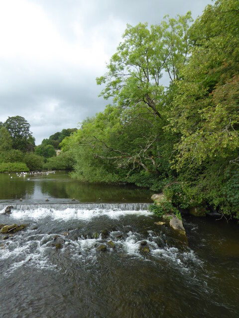
Deer Hole Plantation is home to a diverse range of wildlife, including various species of birds, mammals, and insects. Birdwatchers can spot a variety of feathered creatures, such as woodpeckers, owls, and thrushes, while deer and rabbits can often be observed grazing peacefully in clearings. The plantation also houses a number of small ponds and streams, attracting amphibians and dragonflies.
The woodland offers numerous walking trails and paths, allowing visitors to explore the plantation at their own pace. These trails meander through the forest, offering breathtaking views of the surrounding countryside. The plantation is open to the public year-round, with different seasons bringing their own unique charm. In spring, the forest comes alive with vibrant blossoms, while autumn paints the landscape in a kaleidoscope of fiery hues.
Overall, Deer Hole Plantation is a haven for nature lovers, providing a serene and captivating experience in the heart of Derbyshire. Whether one seeks a peaceful stroll or an opportunity to observe wildlife, this woodland offers a truly memorable encounter with nature.
If you have any feedback on the listing, please let us know in the comments section below.
Deer Hole Plantation Images
Images are sourced within 2km of 53.199804/-1.6554194 or Grid Reference SK2367. Thanks to Geograph Open Source API. All images are credited.


Deer Hole Plantation is located at Grid Ref: SK2367 (Lat: 53.199804, Lng: -1.6554194)
Administrative County: Derbyshire
District: Derbyshire Dales
Police Authority: Derbyshire
What 3 Words
///verges.lunching.nipping. Near Bakewell, Derbyshire
Related Wikis
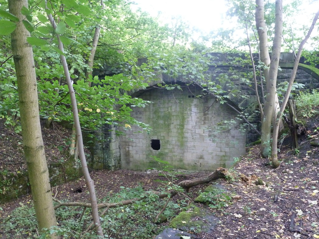
Haddon Tunnel
Haddon Tunnel was built by the Midland Railway in 1863 when extending the Manchester, Buxton, Matlock and Midlands Junction Railway from Rowsley to Buxton...
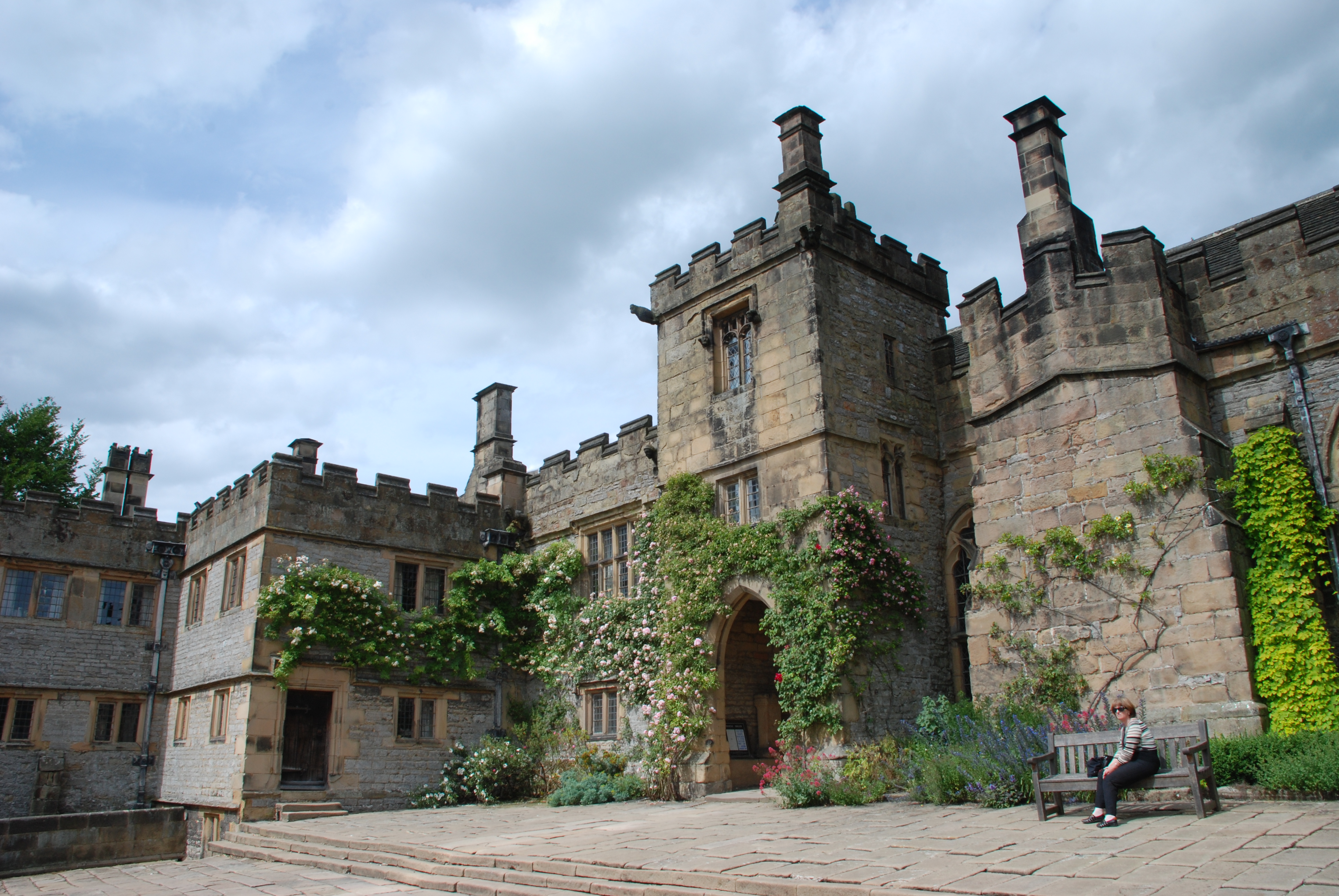
Haddon Hall
Haddon Hall is an English country house on the River Wye near Bakewell, Derbyshire, a former seat of the Dukes of Rutland. It is the home of Lord Edward...
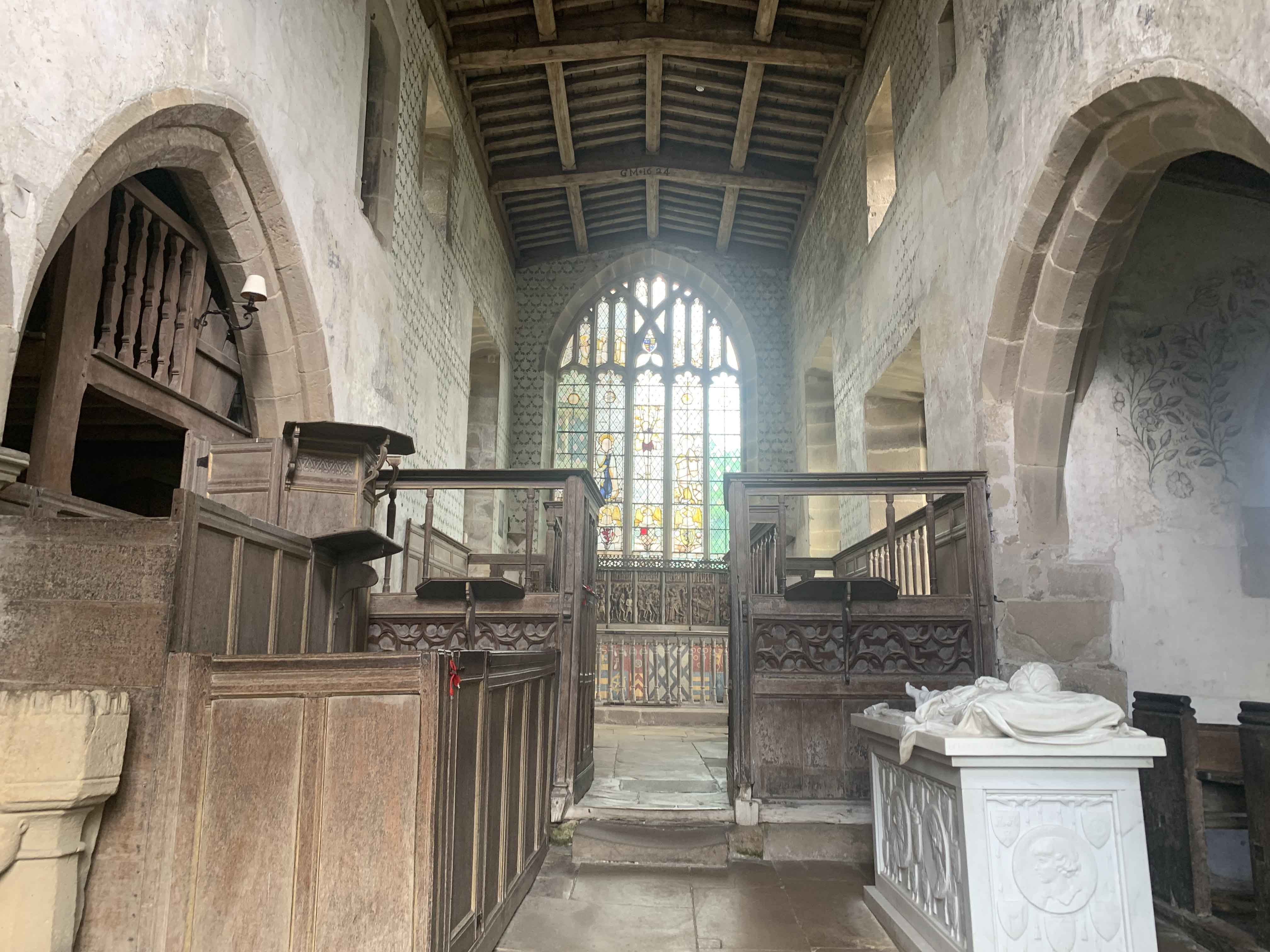
Chapel of St Nicholas, Haddon Hall
The Chapel St John Nicholas, Haddon Hall is a Grade I listed Church of England chapel in Haddon Hall, Derbyshire. The chapel's origins are Norman, with...
Nether Haddon
Nether Haddon is a sparsely populated village and civil parish in Derbyshire, England. It is immediately downstream along the River Wye from the small...

Burton Closes
Burton Closes is a 19th-century country house, now in use as a residential nursing home, situated at Haddon Road, Bakewell, Derbyshire. It is a Grade II...

River Lathkill
The River Lathkill is a river in the Peak District National Park in Derbyshire, England. First recorded in 1280, the name "Lathkill" possibly has Scandinavian...
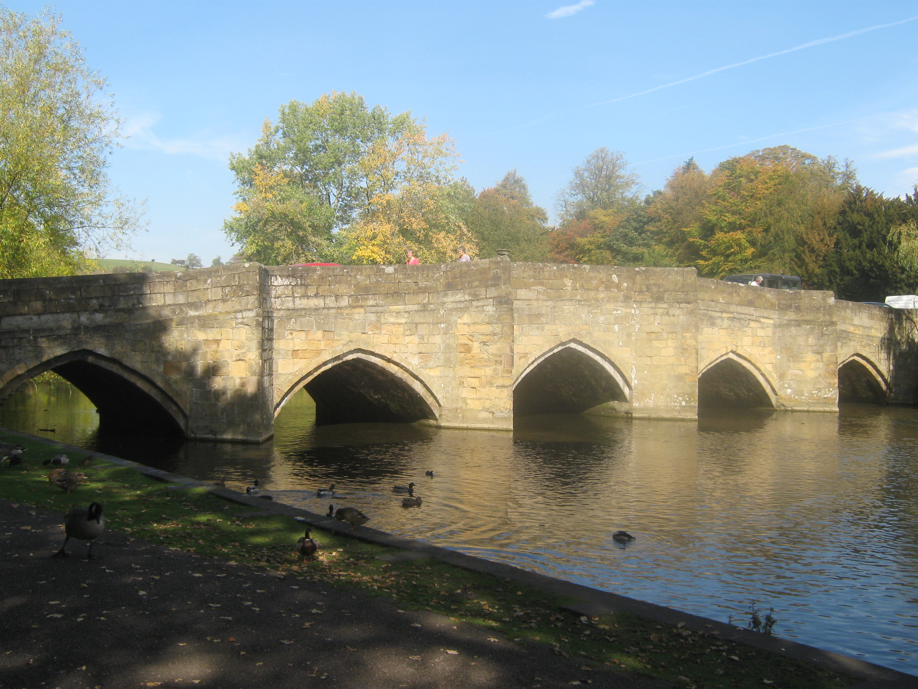
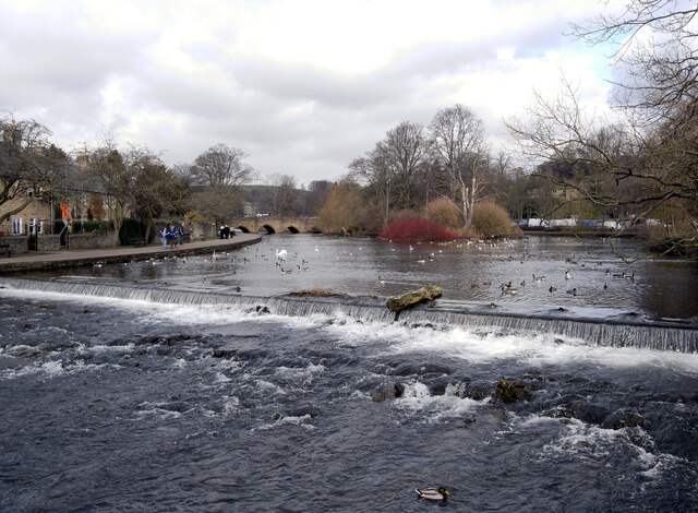
Bakewell Bridge
Bakewell Bridge is a Grade I listed stone arch bridge spanning the River Wye in Bakewell, Derbyshire. The bridge is also a scheduled monument. == History... ==

Bakewell War Memorial
Bakewell War Memorial is a 20th-century grade II listed war memorial in Bakewell, Derbyshire. == History == The sandstone memorial is dedicated to the...
Nearby Amenities
Located within 500m of 53.199804,-1.6554194Have you been to Deer Hole Plantation?
Leave your review of Deer Hole Plantation below (or comments, questions and feedback).