Cook Wood
Wood, Forest in Derbyshire Derbyshire Dales
England
Cook Wood

Cook Wood is a picturesque forest located in Derbyshire, England. Covering an area of approximately 500 acres, it is a popular destination for nature lovers and outdoor enthusiasts. The wood is situated in the heart of the Peak District National Park, offering visitors a tranquil and immersive experience in the midst of nature.
Cook Wood is characterized by its dense canopy of trees, consisting predominantly of oak and beech, which create a vibrant and diverse ecosystem. The forest floor is adorned with a rich carpet of ferns, bluebells, and other wildflowers, adding to its natural beauty. The wood is also home to a variety of wildlife, including deer, squirrels, and an array of bird species, making it a haven for nature enthusiasts and birdwatchers.
Visitors to Cook Wood can explore a network of well-maintained footpaths, allowing them to wander through the woodland at their own pace. There are also several picnic areas and benches strategically placed throughout the forest, providing visitors with opportunities to relax and enjoy the serenity of the surroundings.
The forest is open to the public year-round, with each season offering its own unique charm. In spring, the wood comes alive with a burst of colorful blossoms and the melodious songs of birds. Summer brings lush green foliage and warm sunshine filtering through the tree canopy. In autumn, the forest is transformed into a stunning display of fiery hues as the leaves change color, creating a breathtaking spectacle. And in winter, a peaceful stillness descends upon the wood, creating a serene and magical atmosphere.
Overall, Cook Wood is a natural treasure nestled in Derbyshire, providing a sanctuary for wildlife and a place of solace and beauty for visitors.
If you have any feedback on the listing, please let us know in the comments section below.
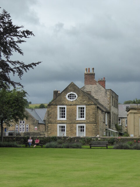
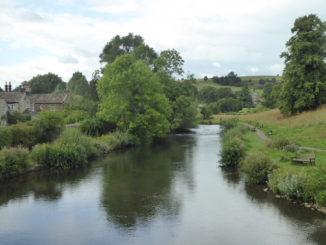
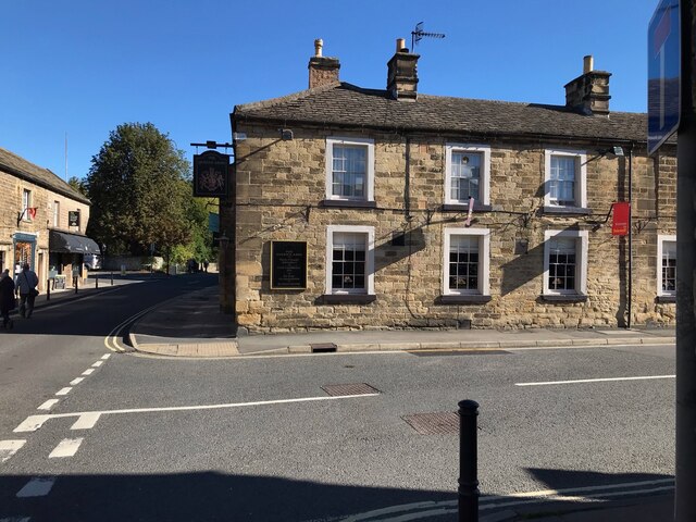
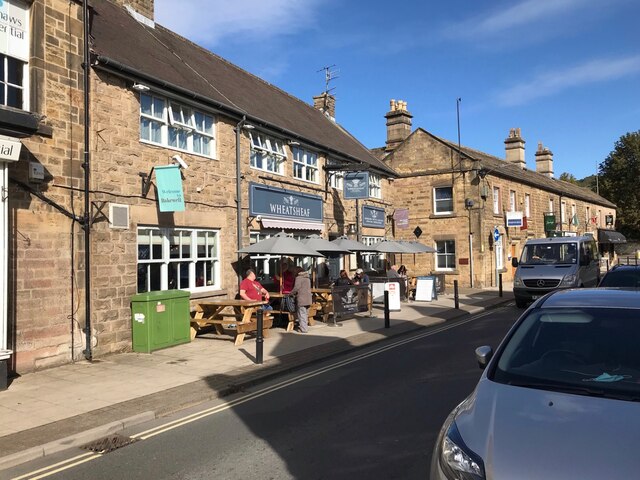
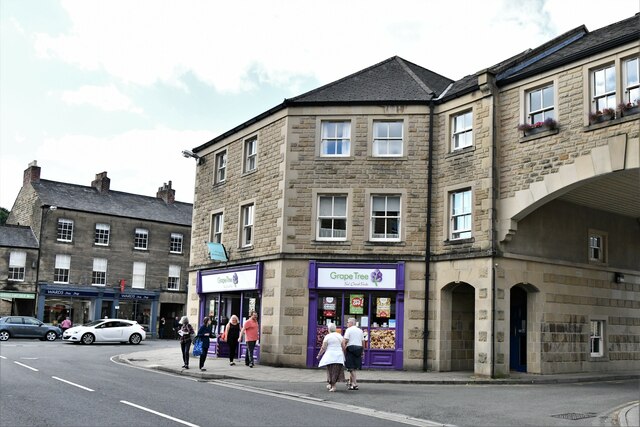
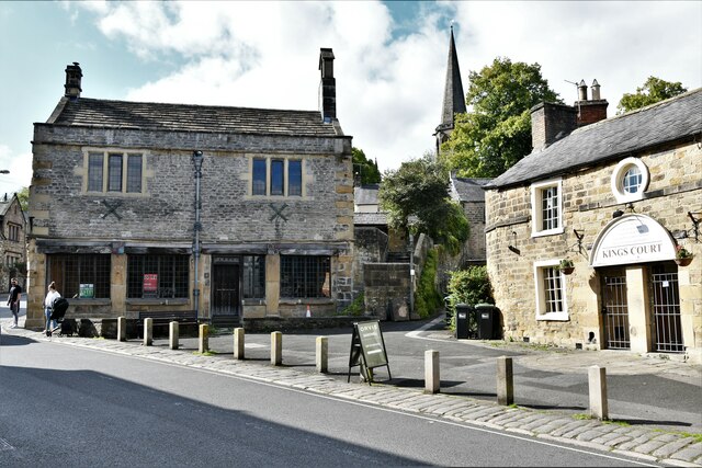
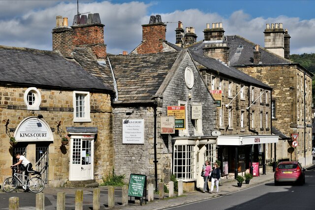
Cook Wood Images
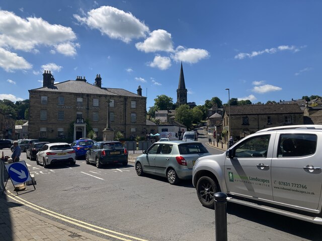
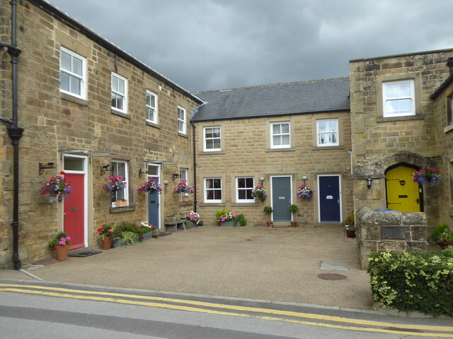
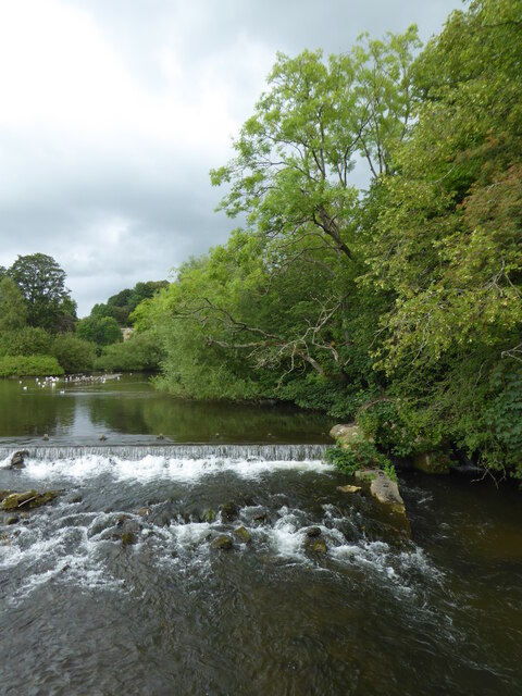
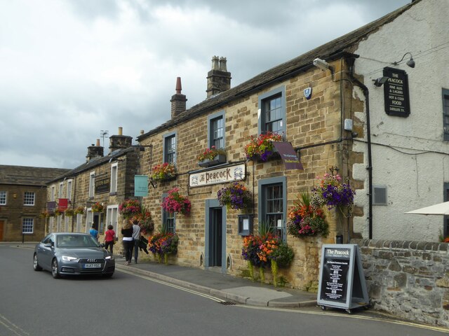
Images are sourced within 2km of 53.204022/-1.6529453 or Grid Reference SK2367. Thanks to Geograph Open Source API. All images are credited.


Cook Wood is located at Grid Ref: SK2367 (Lat: 53.204022, Lng: -1.6529453)
Administrative County: Derbyshire
District: Derbyshire Dales
Police Authority: Derbyshire
What 3 Words
///intrigues.stars.stems. Near Bakewell, Derbyshire
Related Wikis
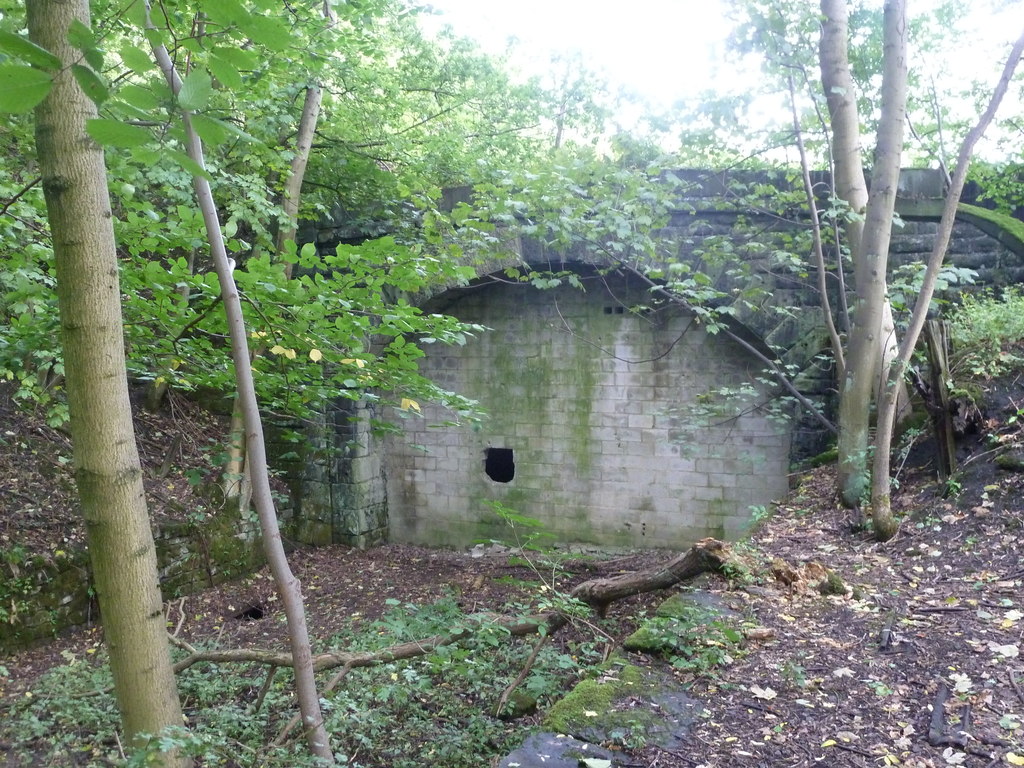
Haddon Tunnel
Haddon Tunnel was built by the Midland Railway in 1863 when extending the Manchester, Buxton, Matlock and Midlands Junction Railway from Rowsley to Buxton...
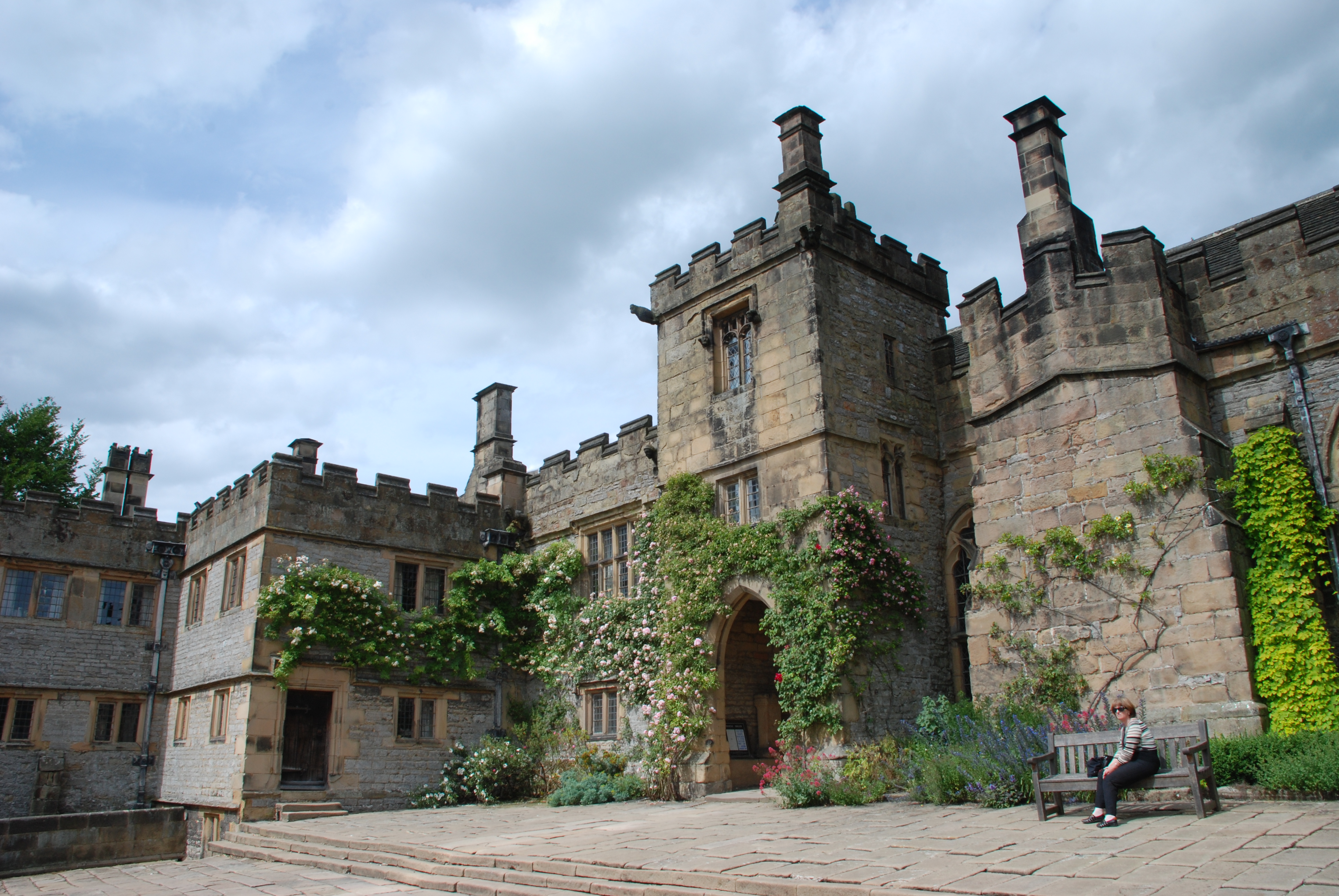
Haddon Hall
Haddon Hall is an English country house on the River Wye near Bakewell, Derbyshire, a former seat of the Dukes of Rutland. It is the home of Lord Edward...
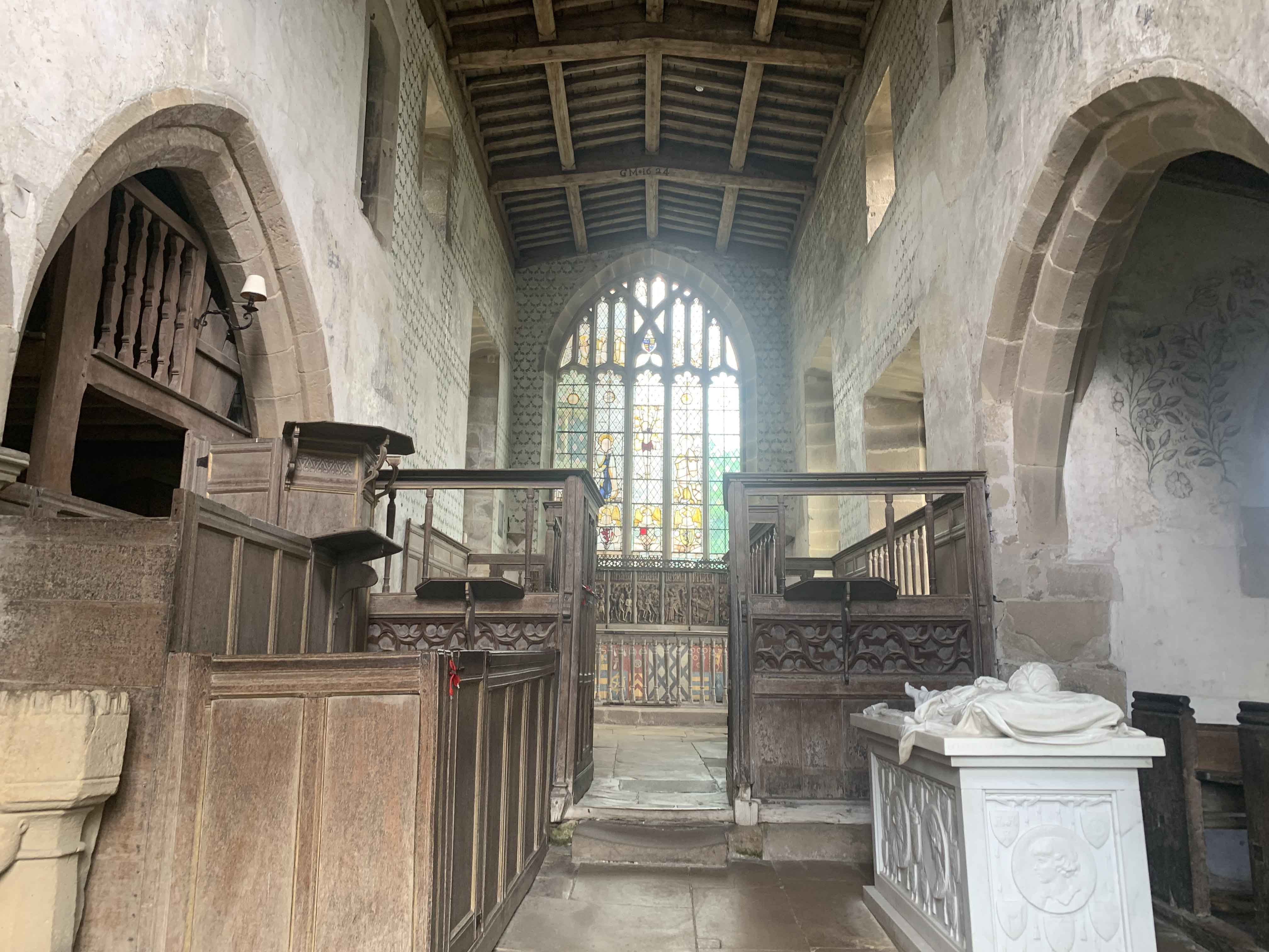
Chapel of St Nicholas, Haddon Hall
The Chapel St John Nicholas, Haddon Hall is a Grade I listed Church of England chapel in Haddon Hall, Derbyshire. The chapel's origins are Norman, with...

Burton Closes
Burton Closes is a 19th-century country house, now in use as a residential nursing home, situated at Haddon Road, Bakewell, Derbyshire. It is a Grade II...
Nearby Amenities
Located within 500m of 53.204022,-1.6529453Have you been to Cook Wood?
Leave your review of Cook Wood below (or comments, questions and feedback).