Bath Hole Plantation
Wood, Forest in Wiltshire
England
Bath Hole Plantation
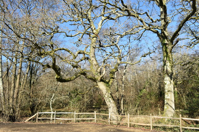
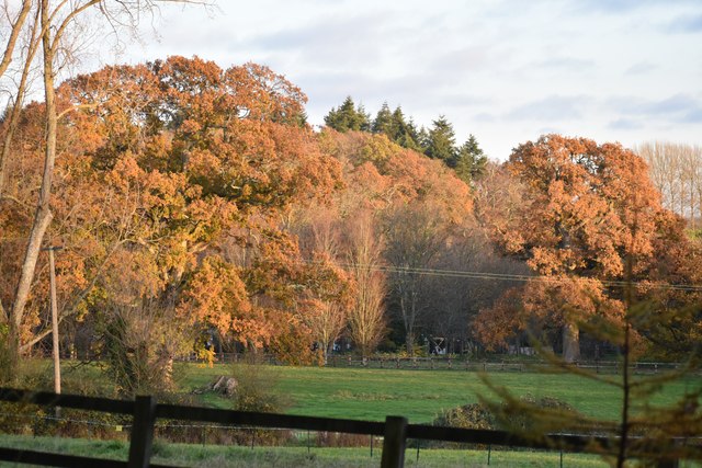
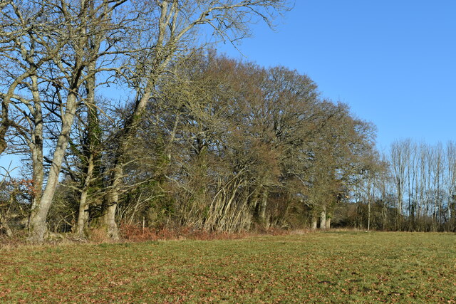
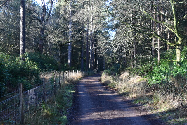
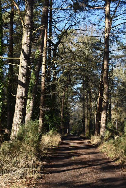
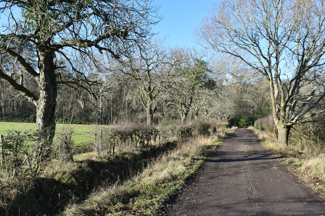
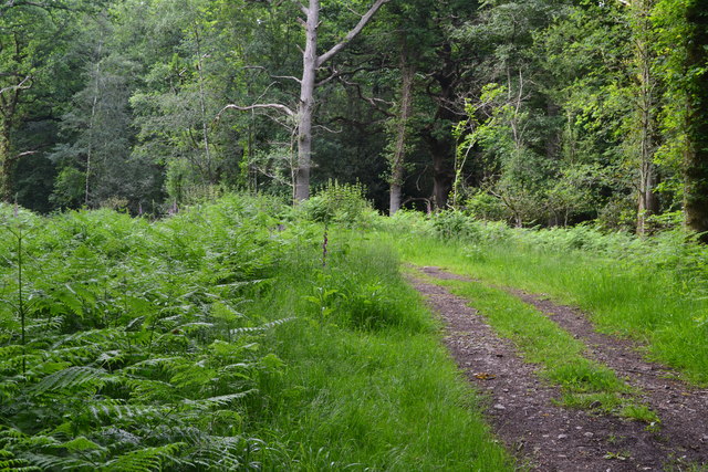
Bath Hole Plantation is a picturesque woodland located in Wiltshire, England. Covering an area of approximately 100 acres, this plantation is known for its stunning natural beauty and diverse range of flora and fauna.
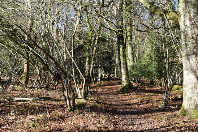
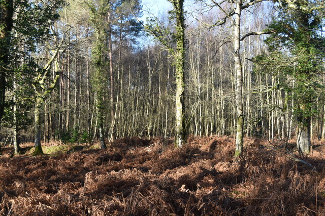
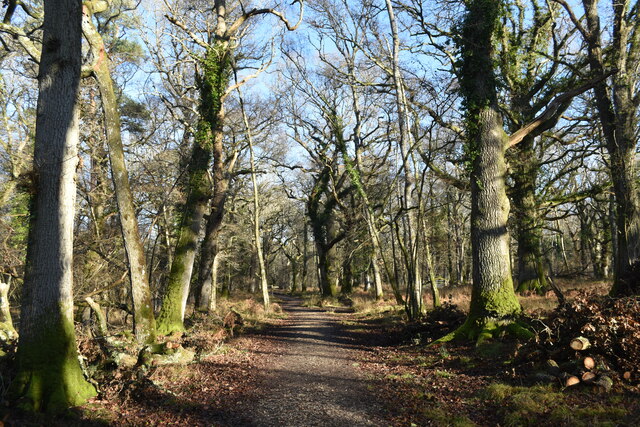
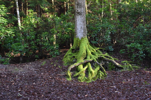
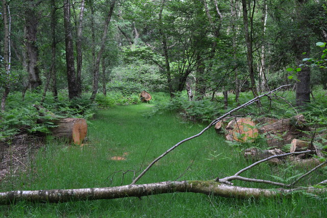
The woodland is predominantly made up of mature trees, including oak, beech, and ash, creating a dense and lush forest canopy. The plantation's dense undergrowth consists of a variety of shrubs, ferns, and wildflowers, adding to its overall charm and biodiversity.
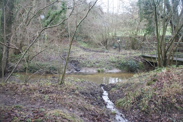
Bath Hole Plantation is also home to a rich array of wildlife. The woodland provides a suitable habitat for numerous species, such as deer, foxes, badgers, and various bird species. It is a popular spot for birdwatchers, as the woodland attracts a wide range of avian visitors throughout the year.
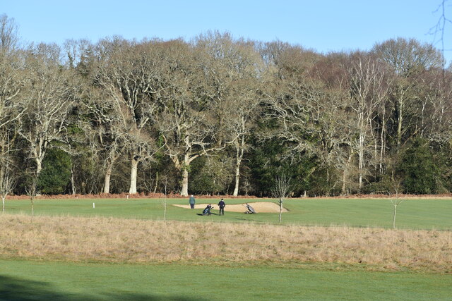
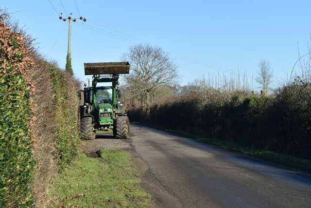
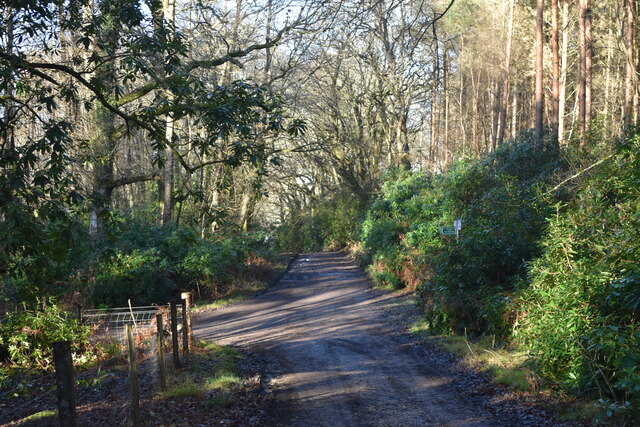
The plantation offers several well-maintained walking trails, allowing visitors to explore its natural wonders at their own pace. These trails wind through the woodland, providing breathtaking views of the surrounding countryside and opportunities to observe the local wildlife up close.
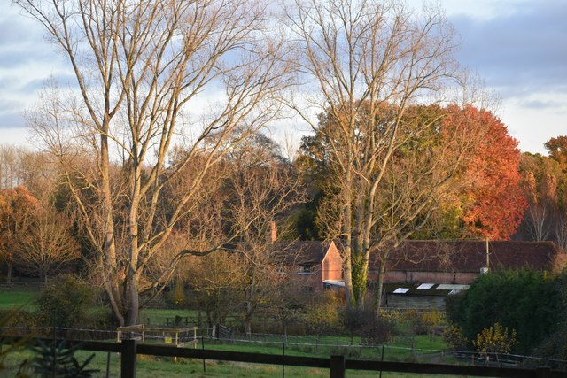
In addition to its natural beauty, Bath Hole Plantation also holds historical significance. The woodland has been managed for centuries, and remnants of ancient structures, such as old boundary walls and ditches, can still be found within its boundaries.
Overall, Bath Hole Plantation is a haven for nature lovers and outdoor enthusiasts alike. Its captivating beauty, diverse wildlife, and historical touch make it a must-visit destination for those seeking a tranquil escape in the heart of Wiltshire.
If you have any feedback on the listing, please let us know in the comments section below.
Bath Hole Plantation Images
Images are sourced within 2km of 50.974113/-1.672705 or Grid Reference SU2319. Thanks to Geograph Open Source API. All images are credited.
Bath Hole Plantation is located at Grid Ref: SU2319 (Lat: 50.974113, Lng: -1.672705)
Unitary Authority: Wiltshire
Police Authority: Wiltshire
What 3 Words
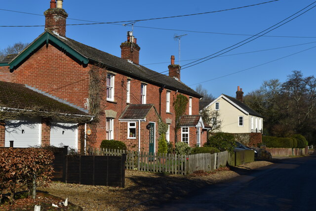
///nags.guideline.clubbing. Near Whiteparish, Wiltshire
Nearby Locations
Related Wikis

Langley Wood and Homan's Copse
Langley Wood and Homan's Copse (grid reference SU230206) is a 219.28 hectare biological Site of Special Scientific Interest in Wiltshire, notified in 1985...
Hamptworth
Hamptworth is a hamlet in Wiltshire, England, in the extreme southeast of the county. It is in the civil parish of Landford, and lies within the boundaries...

Loosehanger Copse and Meadows
Loosehanger Copse and Meadows (grid reference SU215195) is a 56.27 hectare biological Site of Special Scientific Interest in Wiltshire, England, notified...

Bohemia, Wiltshire
Bohemia is a hamlet in Wiltshire, England, in the parish of Redlynch. It lies about 1 mile (1.6 km) southeast of Redlynch and 7.5 miles (12 km) southeast...

Lover, Wiltshire
Lover (pronounced like Dover, ) is a small village in Wiltshire, England, close to the county border with Hampshire. It is part of the parish of Redlynch...

Landford
Landford is a village and civil parish 10 miles (16 km) southeast of Salisbury in Wiltshire, England. To the south and east of the parish is the county...

Landford Bog
Landford Bog (grid reference SU259185) is an 11.6 hectare biological Site of Special Scientific Interest at Landford in southeast Wiltshire, England. It...

Nomansland, Wiltshire
Nomansland is a small village in Wiltshire, England, close to the county border with Hampshire. It is part of the parish of Landford and lies about 3.5...
Nearby Amenities
Located within 500m of 50.974113,-1.672705Have you been to Bath Hole Plantation?
Leave your review of Bath Hole Plantation below (or comments, questions and feedback).