Gaskin's Carr
Wood, Forest in Derbyshire Derbyshire Dales
England
Gaskin's Carr
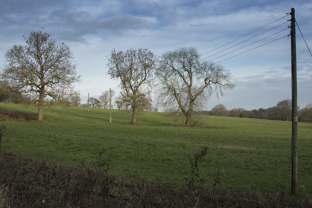
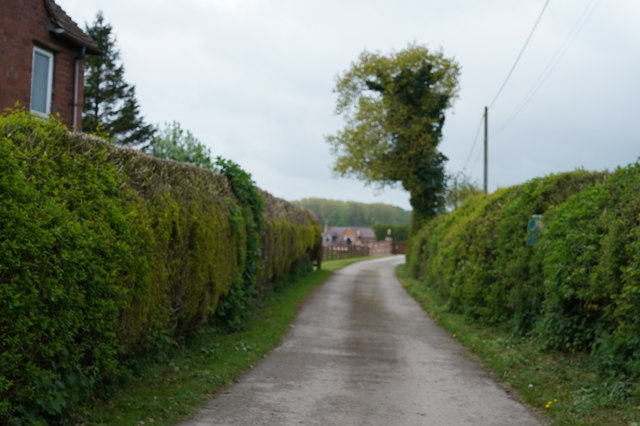
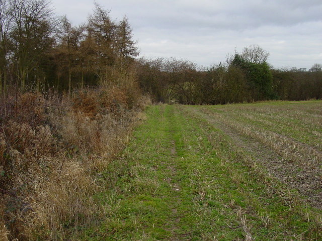
Gaskin's Carr, located in Derbyshire, England, is a picturesque woodland area known for its scenic beauty and rich biodiversity. Nestled in the heart of the county, it is a popular destination for nature enthusiasts and outdoor lovers.
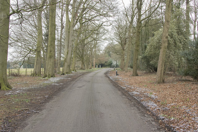
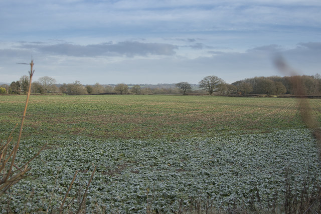
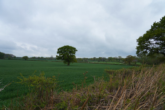
Covering an impressive expanse of land, Gaskin's Carr is a thriving forest that offers a diverse range of flora and fauna. The woodland is primarily composed of deciduous trees, such as oak, beech, and birch, which create a vibrant and ever-changing landscape throughout the year. The forest floor is adorned with a carpet of wildflowers, including bluebells, primroses, and foxgloves, adding bursts of vibrant colors to the surroundings.
The woodland is also home to a variety of wildlife, making it a haven for animal lovers and birdwatchers. Visitors may spot mammals such as deer, foxes, and badgers, as well as a wide array of bird species, including woodpeckers, owls, and various songbirds. The serene atmosphere and natural habitats within Gaskin's Carr provide a perfect environment for these creatures to thrive.
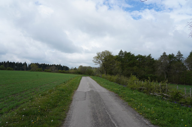
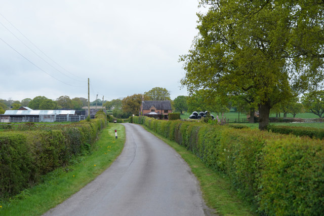
For those looking to explore the area, there are several well-maintained footpaths and trails that lead through the forest, allowing visitors to immerse themselves in its beauty. These paths offer opportunities for leisurely walks, jogging, or even cycling, ensuring that everyone can enjoy the tranquility and natural splendor Gaskin's Carr has to offer.
Overall, Gaskin's Carr in Derbyshire is a captivating woodland that showcases the beauty of nature. With its diverse ecosystem, breathtaking scenery, and abundance of wildlife, it is a must-visit destination for nature enthusiasts and those seeking a peaceful retreat in the heart of the English countryside.
If you have any feedback on the listing, please let us know in the comments section below.
Gaskin's Carr Images
Images are sourced within 2km of 52.994051/-1.6576391 or Grid Reference SK2344. Thanks to Geograph Open Source API. All images are credited.


Gaskin's Carr is located at Grid Ref: SK2344 (Lat: 52.994051, Lng: -1.6576391)
Administrative County: Derbyshire
District: Derbyshire Dales
Police Authority: Derbyshire
What 3 Words
///adjusting.insurance.saunas. Near Ashbourne, Derbyshire
Nearby Locations
Related Wikis
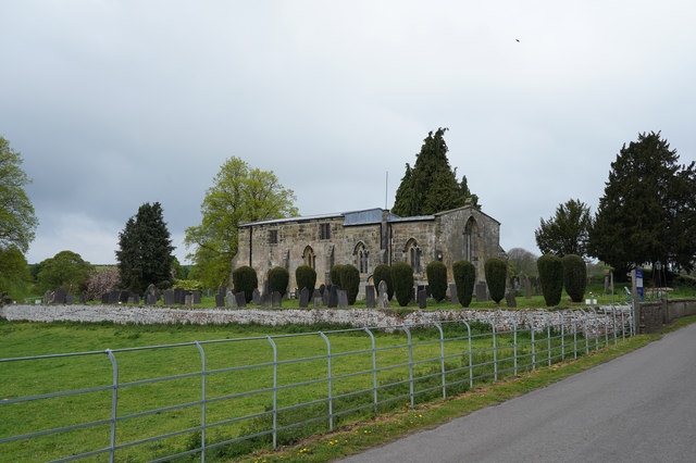
Bradley, Derbyshire
Bradley is a village and civil parish in Derbyshire just east of Ashbourne. The population of the civil parish taken at the 2011 Census was 313. Other...

Yeldersley
Yeldersley is a manor mentioned in the Domesday book. It is located near Ashbourne in Derbyshire. Today there is Yeldersley Hall. This hamlet had a population...

Ednaston Manor
Ednaston Manor is a country house in Ednaston, near Brailsford, Derbyshire, England. It was built in 1912–19 in a Queen Anne style by Edwin Lutyens, for...

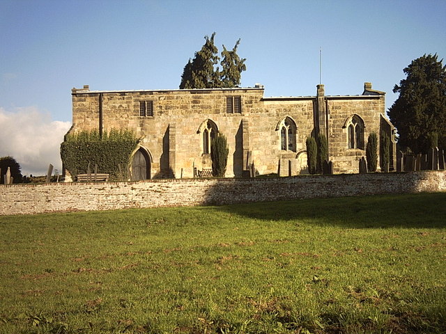
Yeldersley Hall, Derbyshire
Yeldersley Hall is a building of historical significance in Ashbourne, Derbyshire, England and is listed on the English Heritage Register. It was built...
Nearby Amenities
Located within 500m of 52.994051,-1.6576391Have you been to Gaskin's Carr?
Leave your review of Gaskin's Carr below (or comments, questions and feedback).