Cocked Hat Covert
Wood, Forest in Warwickshire North Warwickshire
England
Cocked Hat Covert
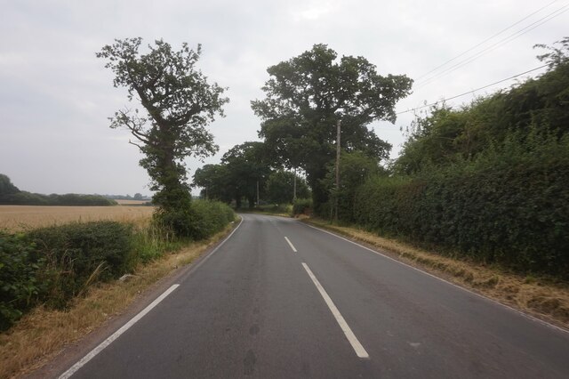
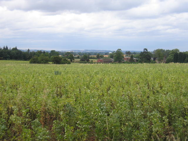
Cocked Hat Covert is a picturesque woodland located in Warwickshire, England. Covering an area of approximately 50 acres, it is a cherished natural treasure in the region. The woodland is characterized by its dense canopy of trees, offering a tranquil and secluded atmosphere for visitors to enjoy.
The covert is primarily composed of native broadleaf trees such as oak, ash, and beech, which create a rich and diverse ecosystem. These trees provide a habitat for a variety of wildlife, including numerous bird species, small mammals, and insects. The woodland floor is adorned with an array of wildflowers and ferns, adding to its natural beauty.
Cocked Hat Covert is a popular destination for nature enthusiasts and walkers. It offers several well-maintained footpaths that wind through the woodland, allowing visitors to explore its many hidden corners and discover its unique features. As they explore, visitors may come across ancient tree stumps and fallen logs that provide a home for fungi and other decomposers, contributing to the forest's ecological cycle.
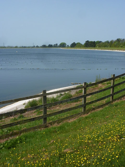
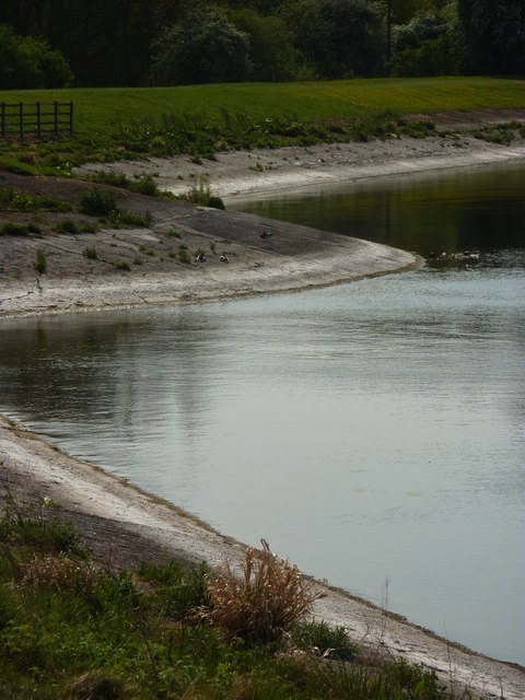
The woodland also features a small pond, which is a haven for amphibians and insects. It serves as an important water source for the surrounding wildlife and adds to the overall charm of Cocked Hat Covert.
Managed by local conservation organizations, Cocked Hat Covert is carefully maintained to preserve its natural beauty and biodiversity. It provides a peaceful retreat for those seeking solace in nature and serves as a valuable educational resource for schools and researchers interested in studying woodland ecosystems.
If you have any feedback on the listing, please let us know in the comments section below.
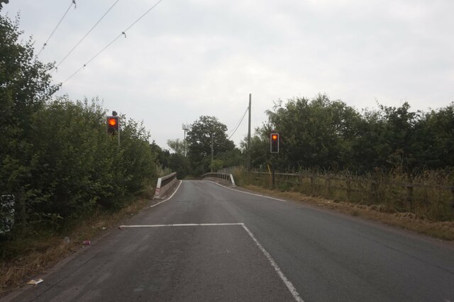
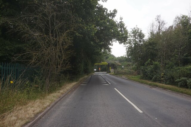
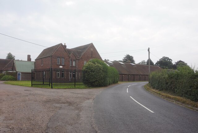
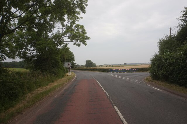
Cocked Hat Covert Images
Images are sourced within 2km of 52.537544/-1.6611835 or Grid Reference SP2393. Thanks to Geograph Open Source API. All images are credited.


Cocked Hat Covert is located at Grid Ref: SP2393 (Lat: 52.537544, Lng: -1.6611835)
Administrative County: Warwickshire
District: North Warwickshire
Police Authority: Warwickshire
What 3 Words
///commoners.weaved.imposes. Near Kingsbury, Warwickshire
Nearby Locations
Related Wikis
Nether Whitacre
Nether Whitacre is a small village and larger rural civil parish in North Warwickshire, Warwickshire, England. == Topography == It is one of 'The Whitacres...

Whitacre Heath
Whitacre Heath is a small village in the North Warwickshire district of the county of Warwickshire in England. It is one of 'The Whitacres' - Whitacre...
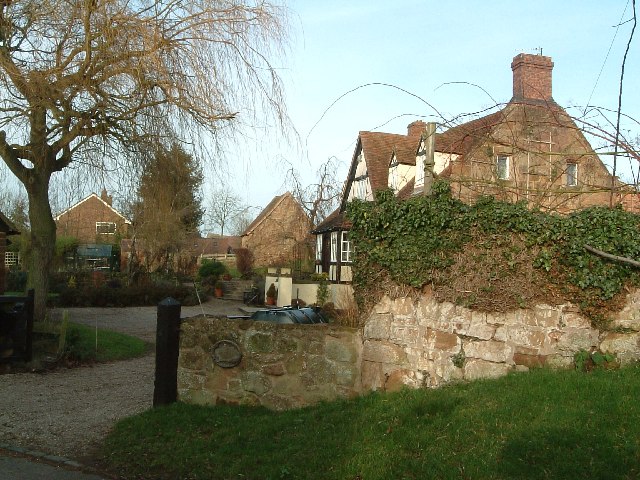
Botts Green
Botts Green is a hamlet and green in the North Warwickshire district of the county of Warwickshire in England. It is located close to Whitacre Heath, Coleshill...

Foul End
Foul End is a small hamlet in the civil parish of Kingsbury, in the North Warwickshire district, in the county of Warwickshire, England. Other nearby places...
Ladywalk Reserve
Ladywalk Reserve is a nature reserve on the River Tame, at its confluence with the River Blythe, at Hams Hall in north Warwickshire, England, owned by...
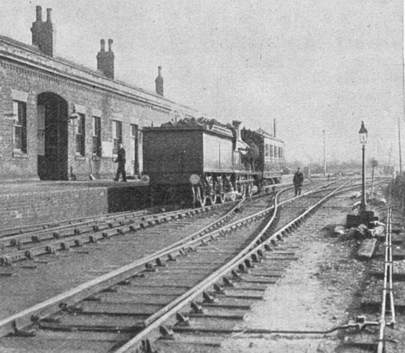
Whitacre Junction railway station
Whitacre Junction railway station was opened in 1864 by the Midland Railway. It served the village of Whitacre Heath, Warwickshire, England. == History... ==

River Bourne, Warwickshire
The River Bourne flows for 10.9 miles (17.6 km) through North Warwickshire, England, and is a tributary of the River Tame. In the 19th century, the river...
Kingsbury railway station
Kingsbury railway station was a railway station which served the village of Kingsbury in Warwickshire, England. == History == The station was opened in...
Nearby Amenities
Located within 500m of 52.537544,-1.6611835Have you been to Cocked Hat Covert?
Leave your review of Cocked Hat Covert below (or comments, questions and feedback).