Farm Plantation
Wood, Forest in Wiltshire
England
Farm Plantation
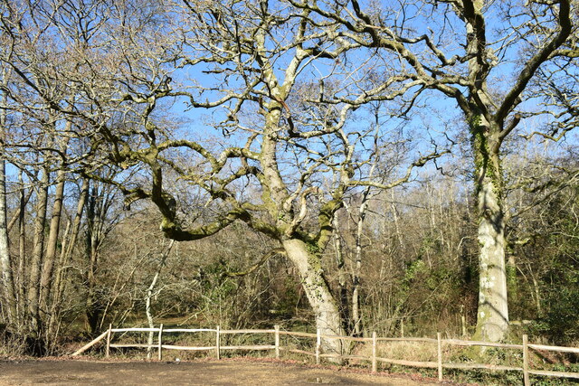
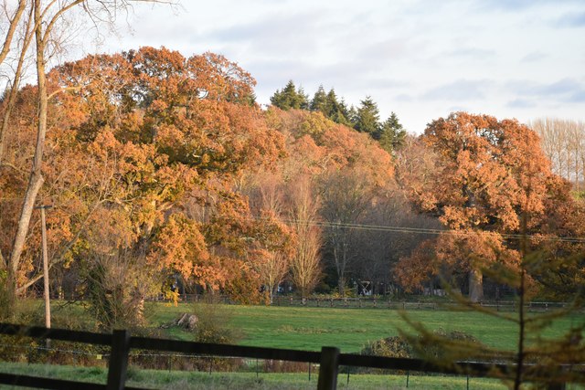
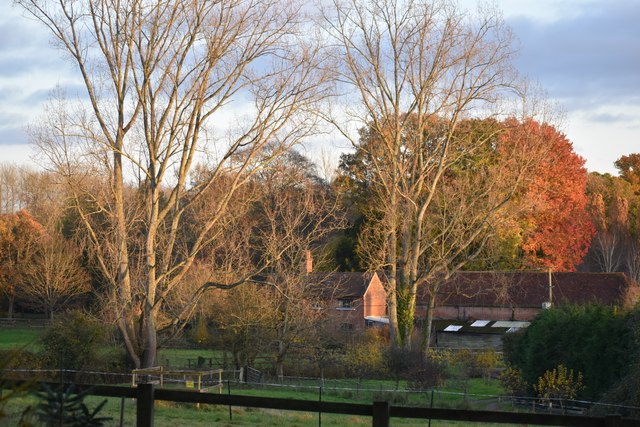
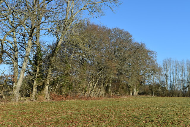
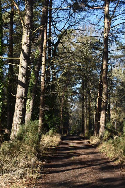
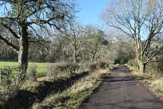
Farm Plantation is a forested area located in Wiltshire, England. Spread across a vast expanse of land, this plantation is known for its dense woodlands and diverse ecosystem. The plantation is situated amidst the rolling hills and picturesque countryside, making it a popular destination for nature enthusiasts and outdoor enthusiasts alike.
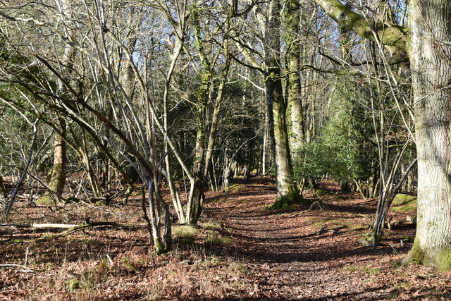
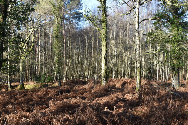
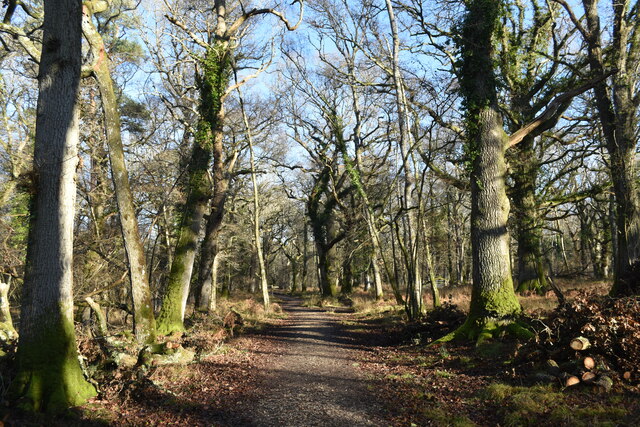
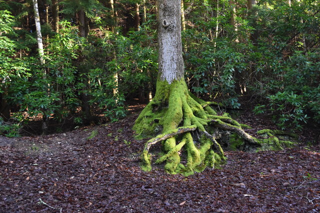
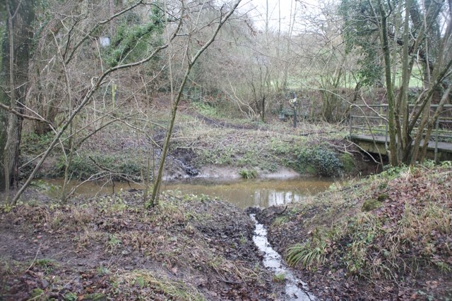
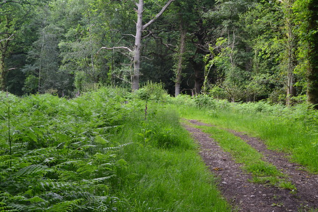
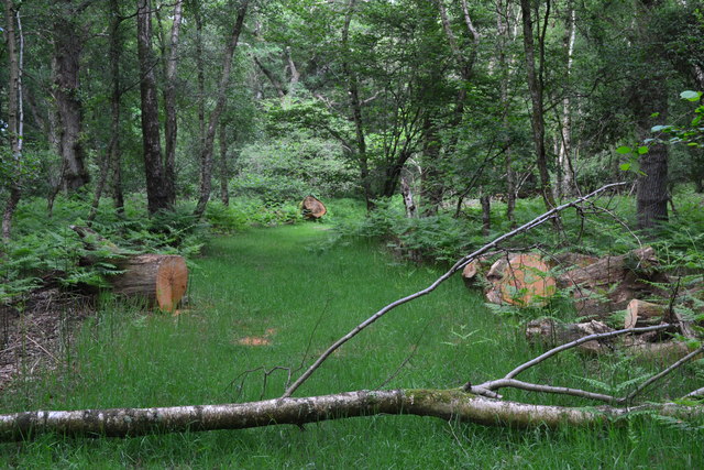
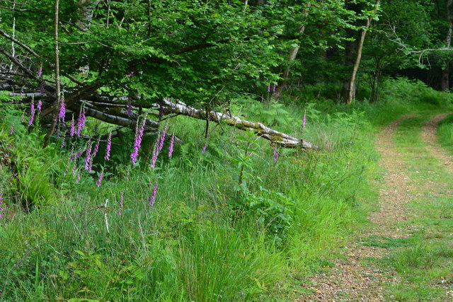
Covering an area of approximately 500 acres, Farm Plantation is home to a rich variety of plant and animal species. The woodland is primarily composed of native trees such as oak, beech, and birch, providing a habitat for numerous bird species, mammals, and insects. The forest floor is adorned with a carpet of wildflowers and ferns, creating a vibrant and colorful landscape.
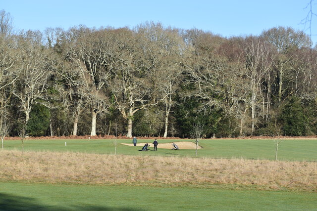
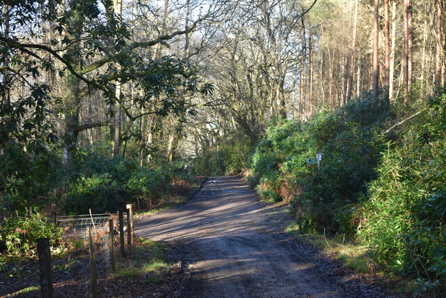
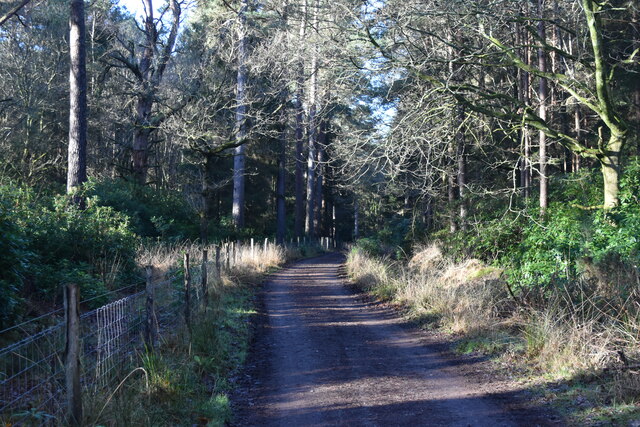
The plantation offers a range of recreational activities for visitors. There are several well-maintained walking trails, allowing visitors to explore the beauty of the woodland and enjoy the tranquility of nature. Additionally, the plantation provides opportunities for wildlife spotting and birdwatching, with many rare and endangered species making their home here.
Farm Plantation also serves as an educational resource, with guided tours and educational programs available for schools and community groups. These programs aim to raise awareness about the importance of conservation and sustainable land management.
Overall, Farm Plantation in Wiltshire is a captivating woodland destination, offering a unique blend of natural beauty, recreational activities, and educational opportunities. Whether one seeks a peaceful stroll through the forest or a chance to immerse themselves in the wonders of nature, this plantation provides an enriching experience for all visitors.
If you have any feedback on the listing, please let us know in the comments section below.
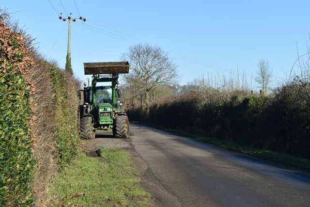
Farm Plantation Images
Images are sourced within 2km of 50.971318/-1.6669993 or Grid Reference SU2319. Thanks to Geograph Open Source API. All images are credited.
Farm Plantation is located at Grid Ref: SU2319 (Lat: 50.971318, Lng: -1.6669993)
Unitary Authority: Wiltshire
Police Authority: Wiltshire
What 3 Words
///briefer.family.quoted. Near Whiteparish, Wiltshire
Nearby Locations
Related Wikis
Hamptworth
Hamptworth is a hamlet in Wiltshire, England, in the extreme southeast of the county. It is in the civil parish of Landford, and lies within the boundaries...

Langley Wood and Homan's Copse
Langley Wood and Homan's Copse (grid reference SU230206) is a 219.28 hectare biological Site of Special Scientific Interest in Wiltshire, notified in 1985...

Loosehanger Copse and Meadows
Loosehanger Copse and Meadows (grid reference SU215195) is a 56.27 hectare biological Site of Special Scientific Interest in Wiltshire, England, notified...

Landford
Landford is a village and civil parish 10 miles (16 km) southeast of Salisbury in Wiltshire, England. To the south and east of the parish is the county...
Nearby Amenities
Located within 500m of 50.971318,-1.6669993Have you been to Farm Plantation?
Leave your review of Farm Plantation below (or comments, questions and feedback).