Alderbrook Coppice

Wood, Forest in Staffordshire East Staffordshire

England

Alderbrook Coppice

Beam Hill The gentle slope to the top of Beam Hill as seen from the road to Rolleston.
Beam Hill Credit: Michael Patterson

Alderbrook Coppice is a picturesque woodland located in the county of Staffordshire, England. Covering an area of approximately 50 acres, it is a popular destination for nature lovers and outdoor enthusiasts. The woodland is characterized by its dense growth of alder trees, which give it its name.

The coppice is home to a diverse range of flora and fauna, making it an important habitat for wildlife. Visitors can expect to see a variety of bird species, including woodpeckers, owls, and various songbirds. Mammals such as squirrels, rabbits, and foxes can also be spotted within the woodland.

Alderbrook Coppice features well-maintained footpaths and trails, making it an ideal location for walking, hiking, and birdwatching. The peaceful atmosphere and natural beauty of the woodland provide a tranquil escape from the hustle and bustle of everyday life.

The woodland is easily accessible, with ample parking available nearby. It is a popular spot for families, as there are designated picnic areas and open spaces for children to play. Additionally, educational programs and guided tours are often organized to provide visitors with a deeper understanding of the local ecosystem and its conservation efforts.

Overall, Alderbrook Coppice offers a serene and enchanting experience for those seeking to immerse themselves in the beauty of nature. Whether it is a leisurely stroll, a family outing, or a wildlife adventure, this woodland provides a captivating and memorable experience for all who visit.

If you have any feedback on the listing, please let us know in the comments section below.

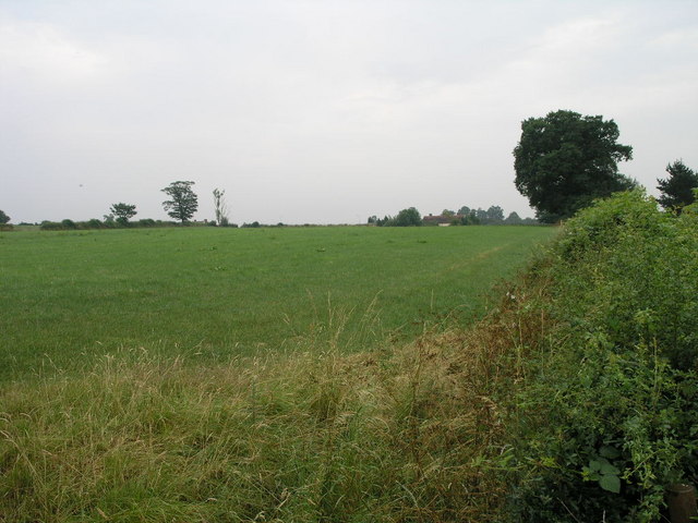
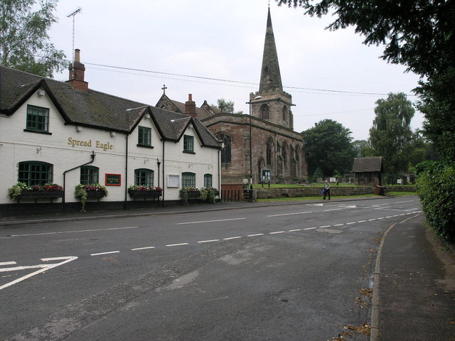
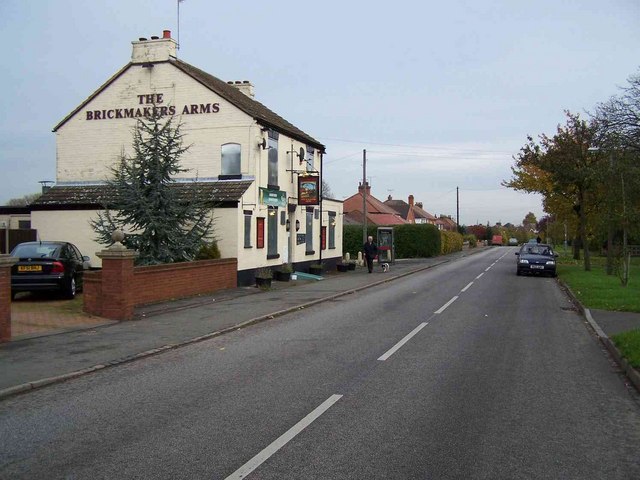
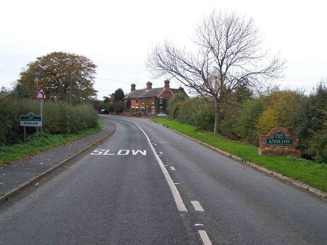
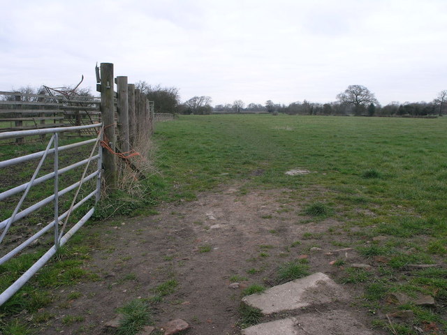
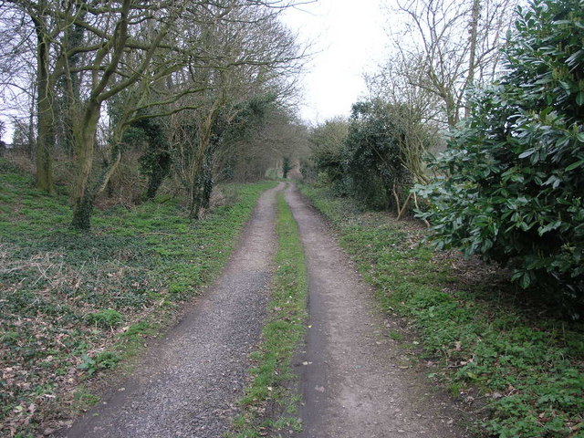
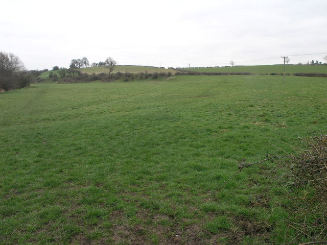
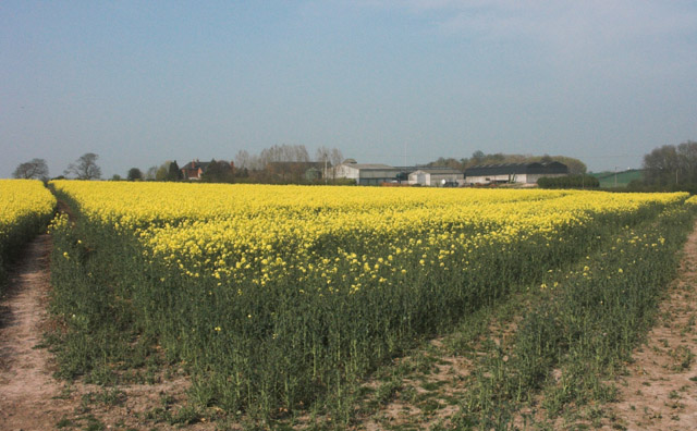
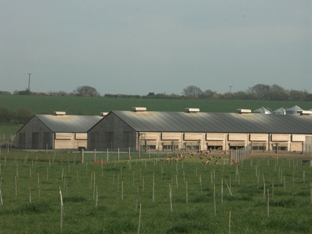
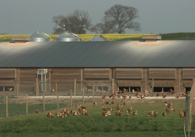
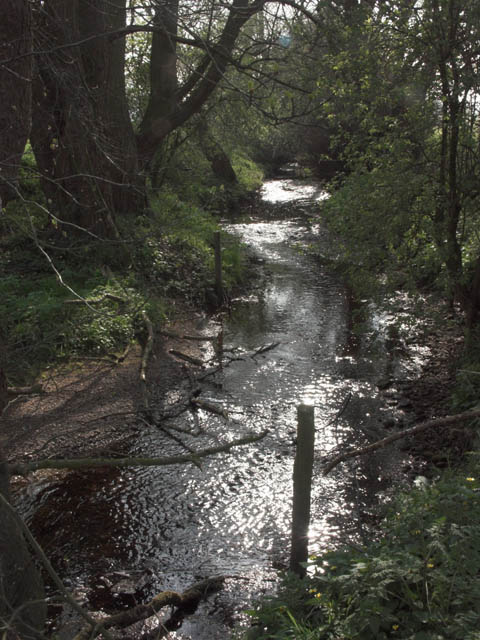
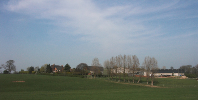
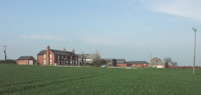
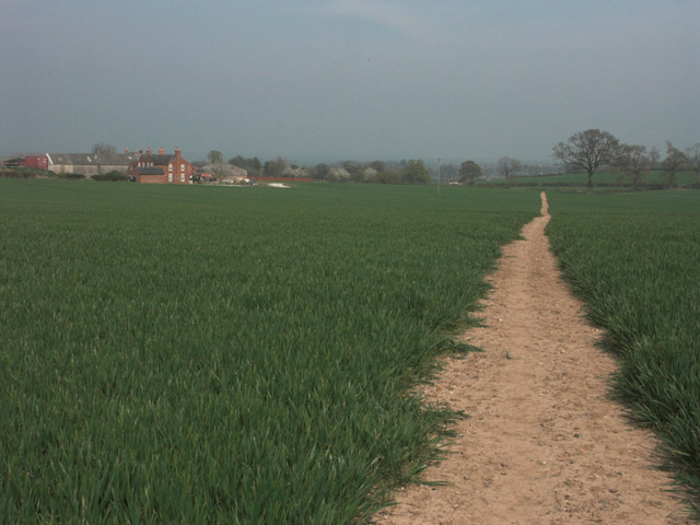
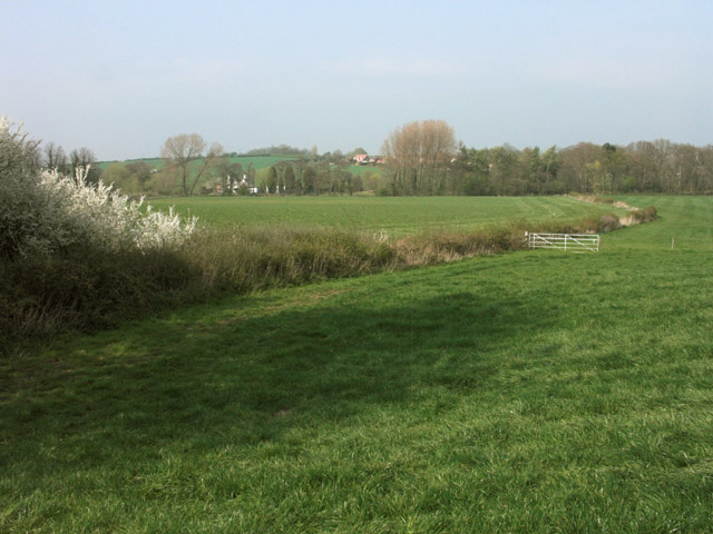
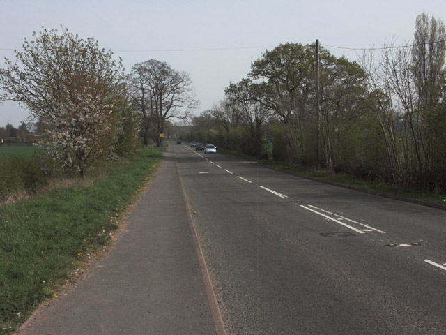
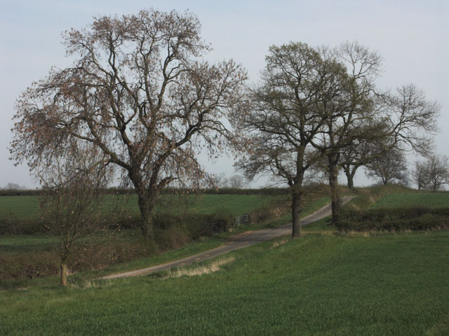
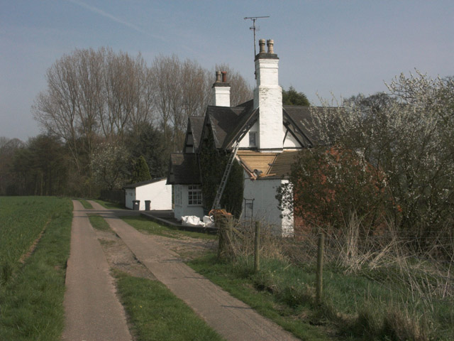
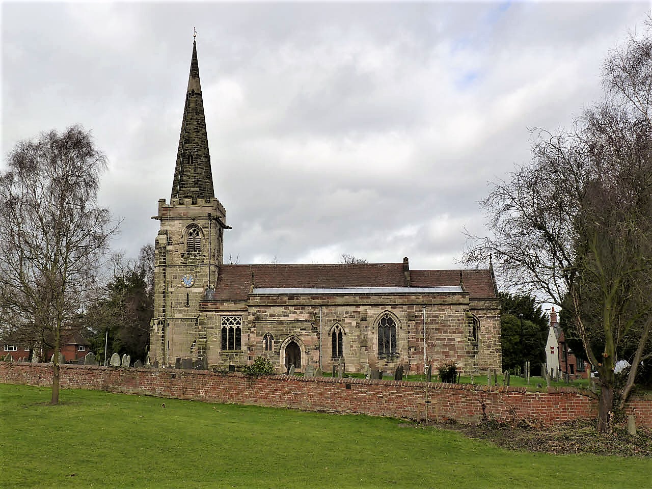
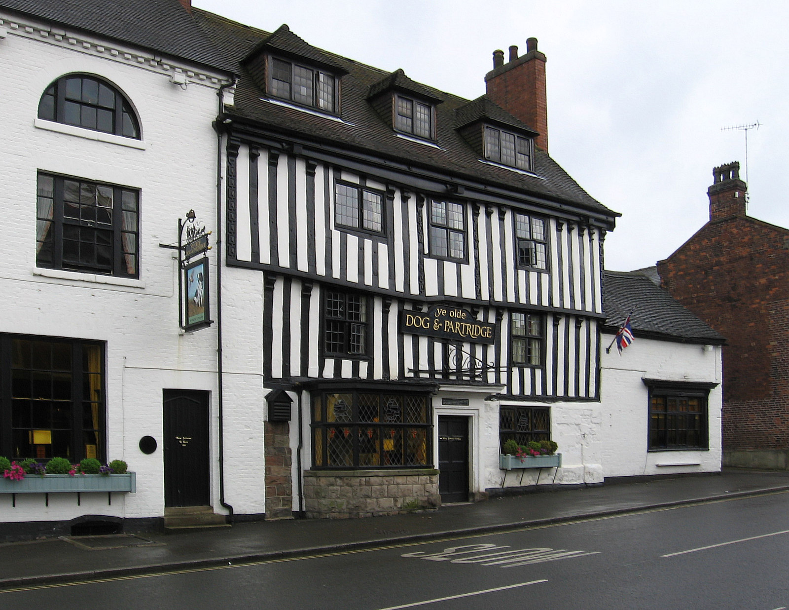
Alderbrook Coppice Images

Images are sourced within 2km of 52.839451/-1.6668421 or Grid Reference SK2226. Thanks to Geograph Open Source API. All images are credited.

Beam Hill The gentle slope to the top of Beam Hill as seen from the road to Rolleston.
Beam Hill
The gentle slope to the top of Beam Hill as seen from the road to Rolleston.
Spread Eagle and St Mary's The church in Rolleston on Dove is dedicated to St Mary.  The Spread Eagle pub next door shares some of its architecture with many railway buildings.
Spread Eagle and St Mary's
The church in Rolleston on Dove is dedicated to St Mary. The Spread Eagle pub next door shares some of its architecture with many railway buildings.
The Brickmakers Arms, Upper Outwood
Hilltop Farm. Anslow
Path to Tutbury This public footpath joins Rolleston on Dove with Tutbury.
Path to Tutbury
This public footpath joins Rolleston on Dove with Tutbury.
Bridleway to Alder Moor This bridleway passes by the Cemetery in Rolleston on Dove and leads to Alder Moor.
Bridleway to Alder Moor
This bridleway passes by the Cemetery in Rolleston on Dove and leads to Alder Moor.
Shotwood Hill There are two footpaths which lead from this point to Rolleston on Dove.  One can be seen to the left of the image the other takes the high route over the hill.
Shotwood Hill
There are two footpaths which lead from this point to Rolleston on Dove. One can be seen to the left of the image the other takes the high route over the hill.
Oilseed Rape by Rolleston Park farm
Free-range egg production unit - Anslow Park Farm This modern facility has been erected within the last two years on former open fields.
Free-range egg production unit - Anslow Park Farm
This modern facility has been erected within the last two years on former open fields.
Free range hens These hens are housed in a new large free-range egg production unit belonging to a firm called Anslow Eggs.
Free range hens
These hens are housed in a new large free-range egg production unit belonging to a firm called Anslow Eggs.
Backlit stream near Anslow This stream, which is un-named on OS maps, eventually flows into the River Dove near Rolleston on Dove.
Backlit stream near Anslow
This stream, which is un-named on OS maps, eventually flows into the River Dove near Rolleston on Dove.
Rolleston Park
Rolleston Park
Lount Farm and cottages
Well-maintained footpath near Lount Farm All the public footpaths in this grid square are well defined and clearly maintained.
Well-maintained footpath near Lount Farm
All the public footpaths in this grid square are well defined and clearly maintained.
Farmland near Rolleston on Dove
A511 Tutbury to Burton road Spot the speed camera on this 50mph limited road.
A511 Tutbury to Burton road
Spot the speed camera on this 50mph limited road.
Lane leading to Lount Farm
Water House This cottage know as Water House has a large pool behind it, presumably giving the name.
Water House
This cottage know as Water House has a large pool behind it, presumably giving the name.
Show me another place!

Alderbrook Coppice is located at Grid Ref: SK2226 (Lat: 52.839451, Lng: -1.6668421)

Administrative County: Staffordshire

District: East Staffordshire

Police Authority: Staffordshire

What 3 Words

///presented.wallet.voices. Near Burton upon Trent, Staffordshire

Related Wikis

Nearby Amenities

Located within 500m of 52.839451,-1.6668421
Post Box
Operator: Royal Mail
Ref: DE13 1202
Lat/Long: 52.8402904/-1.6672465
Barrier: stile
Lat/Long: 52.8400093/-1.6598806
Bus Stop
Fiddler's Lane
Naptan AtcoCode: 3800C339601
Naptan NaptanCode: stadgtmw
Public Transport: platform
Lat/Long: 52.8419725/-1.6707896
The data included in this document is from www.openstreetmap.org. The data is made available under ODbL.

Have you been to Alderbrook Coppice?

Leave your review of Alderbrook Coppice below (or comments, questions and feedback).