Alder Moor Plantation
Wood, Forest in Staffordshire East Staffordshire
England
Alder Moor Plantation
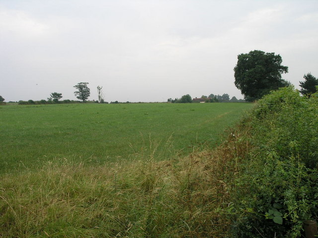
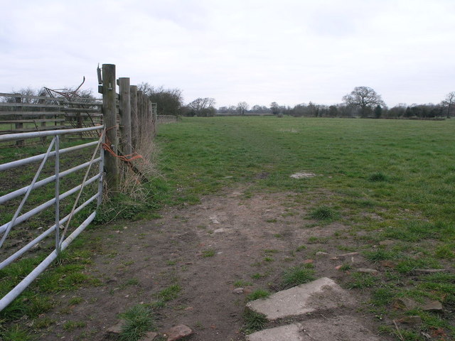
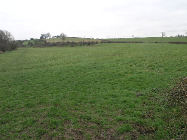
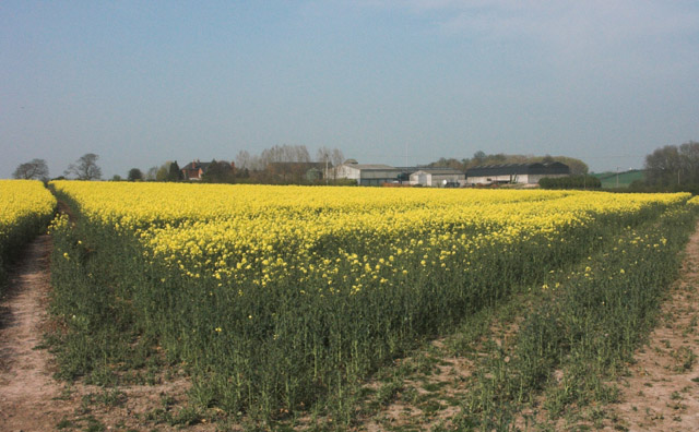
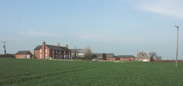
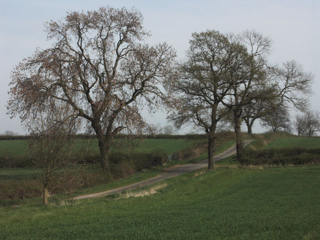
Alder Moor Plantation is a picturesque woodland area located in Staffordshire, England. Spanning over a vast area, it covers approximately 400 hectares of land. The plantation is mainly composed of alder and birch trees, which give it a distinct and vibrant appearance throughout the year.
The woodland is well-preserved and managed by the local authorities, ensuring a healthy and thriving ecosystem. It serves as a habitat for a diverse range of flora and fauna, including various bird species, mammals, and insects. The plantation attracts nature enthusiasts and birdwatchers who appreciate the abundance of wildlife.
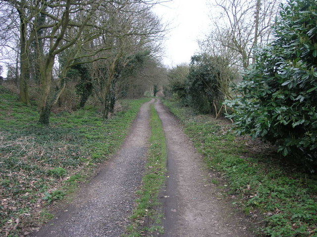
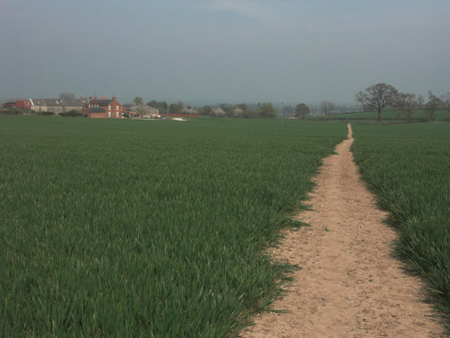
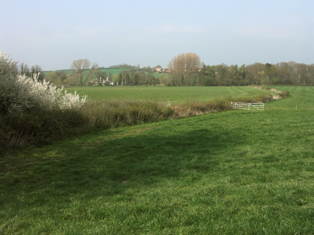
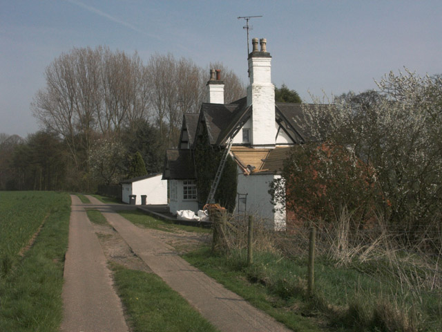
Alder Moor Plantation offers a tranquil escape from the bustling city life. Its well-maintained trails and footpaths make it an ideal destination for hikers, joggers, and dog walkers. Visitors can explore the woodland at their own pace, enjoying the soothing sounds of nature and the fresh air.
In addition to its natural beauty, the plantation also holds historical significance. It was once a part of the ancient Needwood Forest, which played a crucial role in the timber industry during the medieval period. Today, remnants of this history can still be observed in the form of old tree stumps and earthworks.
Overall, Alder Moor Plantation in Staffordshire is a haven for nature lovers, offering a harmonious blend of serenity, biodiversity, and cultural heritage. Whether one seeks a peaceful walk, birdwatching opportunities, or simply a chance to connect with nature, this woodland is a delightful destination.
If you have any feedback on the listing, please let us know in the comments section below.
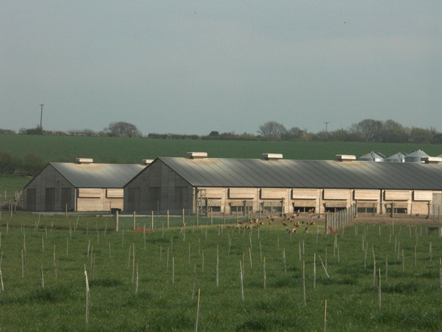
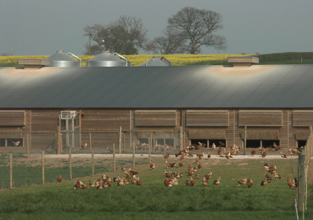
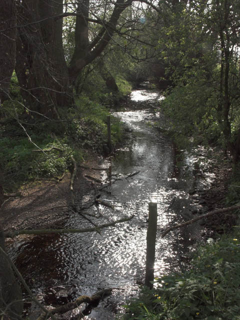
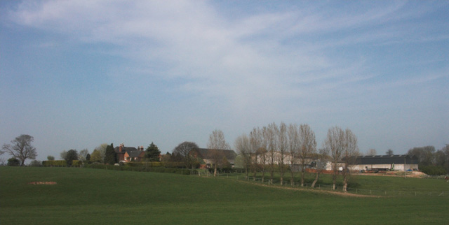
Alder Moor Plantation Images
Images are sourced within 2km of 52.839346/-1.6676743 or Grid Reference SK2226. Thanks to Geograph Open Source API. All images are credited.
Alder Moor Plantation is located at Grid Ref: SK2226 (Lat: 52.839346, Lng: -1.6676743)
Administrative County: Staffordshire
District: East Staffordshire
Police Authority: Staffordshire
What 3 Words
///tinkle.unearthly.faces. Near Burton upon Trent, Staffordshire
Nearby Locations
Related Wikis

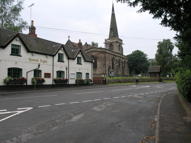
Rolleston on Dove
Rolleston on Dove, also known simply as Rolleston, is a village and civil parish in the East Staffordshire district, in the county of Staffordshire, England...

Rolleston Hall
Rolleston Hall was a country house in Rolleston-on-Dove, Staffordshire. Originally built in the early 17th century for Sir Edward Mosley, it had been substantially...
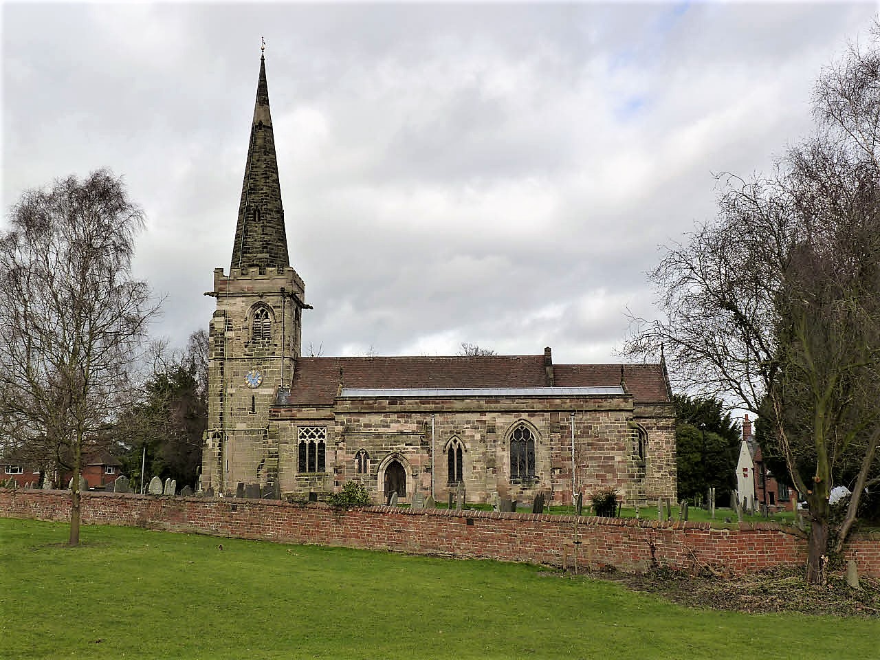
St Mary's Church, Rolleston on Dove
St Mary's Church is a parish church of the Church of England in Rolleston on Dove, Staffordshire. Parts of the structure date to 1130, though it was extensively...
Tutbury
Tutbury is a village and civil parish in Staffordshire, England. It is 4 miles (6.4 km) north of Burton upon Trent and 20 miles (32 km) south of the Peak...

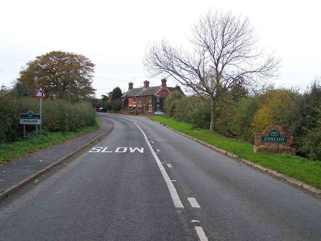
Anslow
Anslow is a village and civil parish in the East Staffordshire district of Staffordshire, England, about three miles [4.8 km] north-west of Burton upon...
The de Ferrers Academy
The de Ferrers Academy (formerly De Ferrers Specialist Technology College) is a secondary school with academy status located in Burton upon Trent, Staffordshire...

Horninglow
Horninglow is a suburb of Burton upon Trent, in the East Staffordshire district, in the county of Staffordshire, England. Horninglow lies to the north...

Horninglow and Eton
Horninglow and Eton is a civil parish in the East Staffordshire district, in the county of Staffordshire, England. It covers an area located in the west...
Nearby Amenities
Located within 500m of 52.839346,-1.6676743Have you been to Alder Moor Plantation?
Leave your review of Alder Moor Plantation below (or comments, questions and feedback).