Brown's Copse

Wood, Forest in Wiltshire

England

Brown's Copse

Crop field, West Grimstead
Crop field, West Grimstead Credit: JThomas

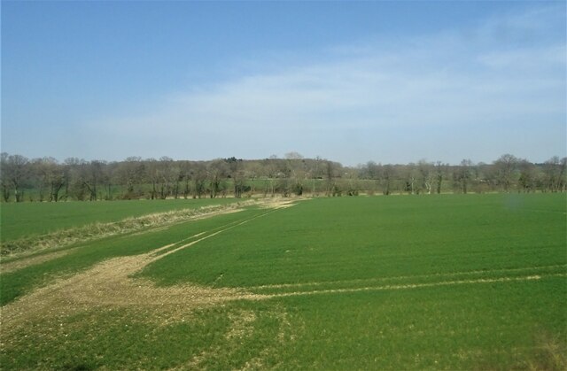
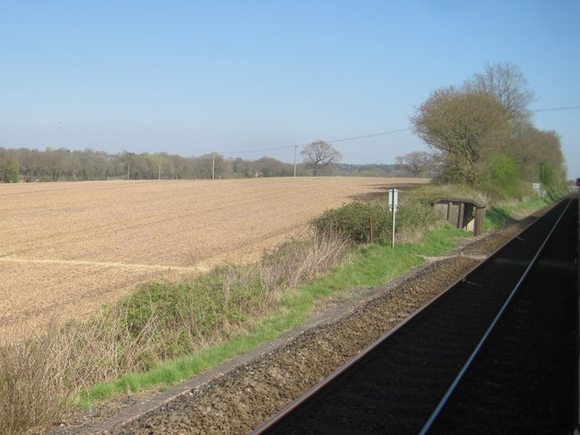
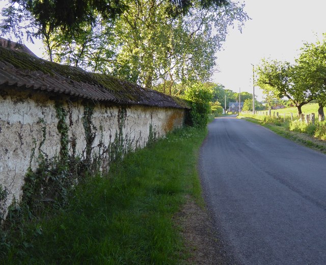
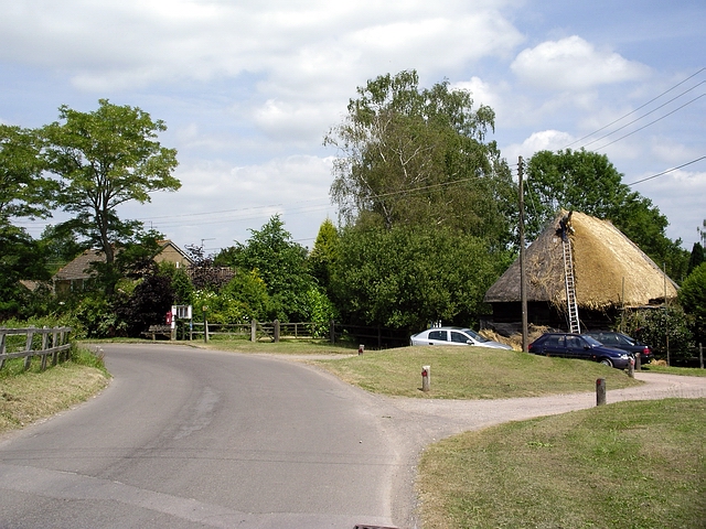
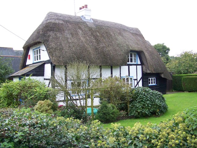
Brown's Copse is a picturesque wood located in the county of Wiltshire, England. Situated near the small village of Stourton, this forested area covers an approximate area of 20 acres. It is a popular destination for nature enthusiasts and local residents alike, offering a tranquil and serene environment.

The copse is primarily composed of deciduous trees, with a diverse range of species such as oak, ash, beech, and birch. These towering trees create a dense canopy, providing shade and shelter to various flora and fauna. The forest floor is adorned with a rich carpet of wildflowers, including bluebells, primroses, and foxgloves, adding bursts of color to the woodland.

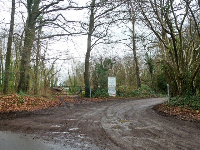
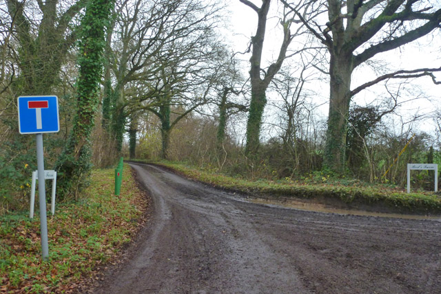
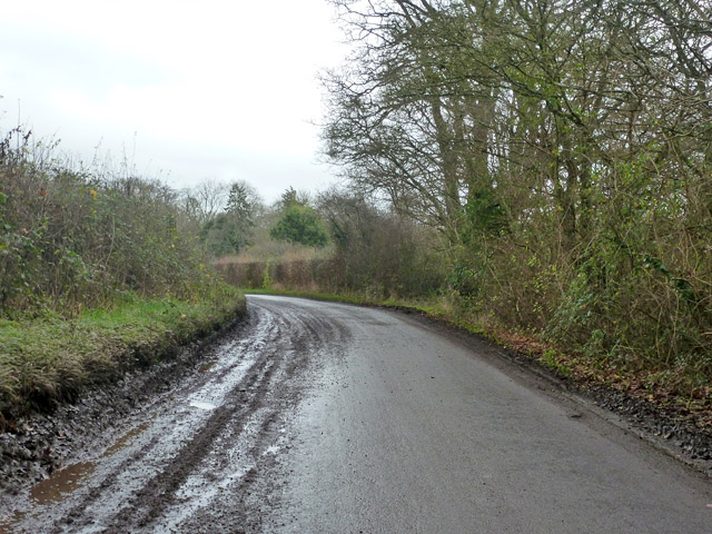
A network of well-maintained footpaths and trails meander through the copse, allowing visitors to explore its natural beauty. The paths lead to several clearings and glades, providing idyllic spots for picnics or relaxation. The tranquil ambiance of the copse is often enhanced by the gentle sound of birdsong, making it a haven for birdwatchers.

Besides its natural beauty, Brown's Copse also holds historical significance. It is believed to have been part of a larger ancient woodland that once covered the region. Remnants of old boundary walls and earthworks can still be found, serving as a testament to its past.

Brown's Copse offers a peaceful retreat for those seeking a break from the bustle of everyday life. It provides a haven for wildlife, a sanctuary for nature lovers, and a glimpse into the rich history of the area.

If you have any feedback on the listing, please let us know in the comments section below.

Brown's Copse Images

Images are sourced within 2km of 51.056072/-1.6806175 or Grid Reference SU2228. Thanks to Geograph Open Source API. All images are credited.

Crop field, West Grimstead
Bentley View
Bentley View
View across field at Farley Just north of, and parallel to, Church Road.
View across field at Farley
Just north of, and parallel to, Church Road.
Footpath on forest track through Church Copse
Track through Hound Wood The stand of conifers isn't typical of Hound Wood, except in the sense that plantings here are very varied - both in terms of species and age. Beech, birch, hazel, poplar and sweet chestnut are all well represented, with some areas of coppicing.
Track through Hound Wood
The stand of conifers isn't typical of Hound Wood, except in the sense that plantings here are very varied - both in terms of species and age. Beech, birch, hazel, poplar and sweet chestnut are all well represented, with some areas of coppicing.
Stand of conifers, Hound Wood
Private road to Upper Brickwood Farm The sign lists access to other premises as well.
Private road to Upper Brickwood Farm
The sign lists access to other premises as well.
No through road to Best's Farm Not strictly correct, as a public byway through route to Pitton exists.  But looking at the state of this surfaced road, the byway would be some proposition to tackle.
No through road to Best's Farm
Not strictly correct, as a public byway through route to Pitton exists. But looking at the state of this surfaced road, the byway would be some proposition to tackle.
Lucewood Lane Many of the roads around here were particularly dirty.
Lucewood Lane
Many of the roads around here were particularly dirty.
Farley church All Saints.
Farley church
All Saints.
View from a Southampton-Salisbury train - The Encampment
View from a Southampton-Salisbury train - view towards East Grimstead
View from a Southampton-Salisbury train - Lineside hut and foot crossing
A very 'architectural' church: All Saints', Farley The charm of an English village church is so often the outcome of centuries of fairly haphazard rebuilding.  But Farley church is all of one build, and it isn't difficult to imagine the whole as plan and elevations on a drawing-board - at some stage in the latter half of the 1680s.
A very 'architectural' church: All Saints', Farley
The charm of an English village church is so often the outcome of centuries of fairly haphazard rebuilding. But Farley church is all of one build, and it isn't difficult to imagine the whole as plan and elevations on a drawing-board - at some stage in the latter half of the 1680s.
Clunch-built wall at The Livery (1) Part of the perimeter wall around a yard or yards. To protect the permeable chalk from which it is built, the wall has been roofed over with pan-tiles.

The road leads north to West Winterslow.
Clunch-built wall at The Livery (1)
Part of the perimeter wall around a yard or yards. To protect the permeable chalk from which it is built, the wall has been roofed over with pan-tiles. The road leads north to West Winterslow.
The road to Farley Shaded by beech trees - as so often is the case hereabouts.

On a May day when the afternoon temperature reached 25C (or so) the shade was very welcome.
The road to Farley
Shaded by beech trees - as so often is the case hereabouts. On a May day when the afternoon temperature reached 25C (or so) the shade was very welcome.
Clunch-built wall at The Livery (2) Part of the perimeter wall around a yard or yards. 

Clunch - the name given to chalk quarried for building purposes - is a traditional material here and in neighbouring counties to the east.   This wall is protected by its own little roof of pan-tiles - to rather picturesque effect.  I'd imagine that one hazard to be avoided must be permeation by water - as subsequent freezing would shatter the structure.
Clunch-built wall at The Livery (2)
Part of the perimeter wall around a yard or yards. Clunch - the name given to chalk quarried for building purposes - is a traditional material here and in neighbouring counties to the east. This wall is protected by its own little roof of pan-tiles - to rather picturesque effect. I'd imagine that one hazard to be avoided must be permeation by water - as subsequent freezing would shatter the structure.
All Saints', Farley: north transept and churchyard Whereas the south side of the church stands in full view of the village street, on the north side the churchyard is hemmed in by trees and seemed quite gloomy on this sunny May evening.  Lichens grow undisturbed on the masonry and brickwork.
All Saints', Farley: north transept and churchyard
Whereas the south side of the church stands in full view of the village street, on the north side the churchyard is hemmed in by trees and seemed quite gloomy on this sunny May evening. Lichens grow undisturbed on the masonry and brickwork.
Show me another place!

Brown's Copse is located at Grid Ref: SU2228 (Lat: 51.056072, Lng: -1.6806175)

Unitary Authority: Wiltshire

Police Authority: Wiltshire

What 3 Words

///eyeful.otherwise.refreshed. Near Alderbury, Wiltshire

Related Wikis

East Grimstead

East Grimstead is a village in the civil parish of Grimstead, on the River Dun in Wiltshire, England, about 5 miles (8.0 km) east of Salisbury. The village...

Farley, Wiltshire

Farley is a village in southeast Wiltshire, England, about 5 miles (8.0 km) east of Salisbury. == Geography == Farley is one of the Dun Valley villages...

Blackmoor Copse

Blackmoor Copse (grid reference SU234292) is a woodland in southeast Wiltshire, England, managed as a nature reserve by the Wiltshire Wildlife Trust. The...

Grimstead

Grimstead is a civil parish on the River Dun in Wiltshire, England, to the south-east of Salisbury. Its settlements are the villages of East Grimstead...

West Grimstead

West Grimstead is a village in the civil parish of Grimstead, on the River Dun in Wiltshire, England, about 4.5 miles (7.2 km) southeast of Salisbury....
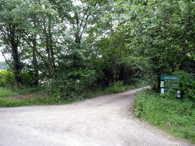
Bentley Wood

Bentley Wood (grid reference SU250295), together with the adjacent Blackmoor Copse, form one of the largest contiguous areas of woodland in Wiltshire,...

Clarendon Park, Wiltshire

Clarendon Park is a Grade I listed building, estate and civil parish near Salisbury in Wiltshire, England. At the 2011 census the population of the parish...

Pitton

Pitton is a village in Wiltshire, England, about 7 miles (11 km) east of Salisbury, just off the A30 London Road. == History == A Roman road (now a bridleway...

Nearby Amenities

Located within 500m of 51.056072,-1.6806175
Barrier: stile
Lat/Long: 51.0540005/-1.6777057
Barrier: stile
Lat/Long: 51.0590861/-1.6812699
Barrier: stile
Lat/Long: 51.0523707/-1.6771518
Brown's Copse
Natural: wood
Lat/Long: 51.0558503/-1.6797331
Farley Copse
Natural: wood
Lat/Long: 51.0596626/-1.6775333
Adam's Mere
Natural: wood
Lat/Long: 51.0580231/-1.6841014
Ford: yes
Lat/Long: 51.055163/-1.678292
Bourne Hill
Place: locality
Lat/Long: 51.0581834/-1.6802938
The data included in this document is from www.openstreetmap.org. The data is made available under ODbL.

Have you been to Brown's Copse?

Leave your review of Brown's Copse below (or comments, questions and feedback).