Low Wood

Wood, Forest in Yorkshire Harrogate

England

Low Wood

The way to Woodhouse Farm Caravan Park
The way to Woodhouse Farm Caravan Park Credit: Ian S

Low Wood is a picturesque village located in the county of Yorkshire, England. Nestled within the rolling hills and lush green landscapes, this idyllic settlement is known for its abundant woodlands and enchanting forests. The village gets its name from the prominent low-lying area surrounded by the dense Wood Forest.

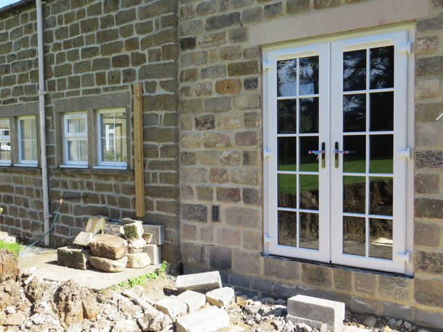
Low Wood boasts a rich history, dating back centuries. The village is believed to have been inhabited since ancient times, with evidence of settlements and burial sites found in the surrounding area. Today, the village maintains its traditional charm, with many historic buildings and cottages still standing.

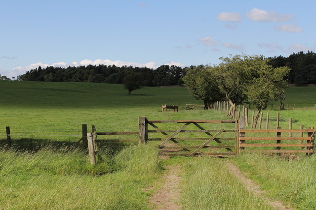
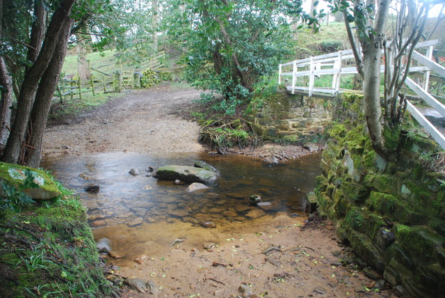
The Wood Forest that encompasses Low Wood is a natural wonder, offering a haven for nature enthusiasts and outdoor lovers. The forest is home to a diverse range of flora and fauna, with towering oak and beech trees dominating the landscape. Visitors can explore the forest through numerous walking trails, immersing themselves in the peaceful serenity and beauty of the surroundings.

The village itself offers a quaint and welcoming atmosphere. With a small population, Low Wood exudes a sense of community spirit, with locals known for their friendliness and hospitality. The village boasts a few amenities, including a village hall, a local pub, and a small convenience store, catering to the needs of residents and visitors alike.

Low Wood is a hidden gem in Yorkshire, offering a tranquil escape from the hustle and bustle of city life. Whether it's exploring the enchanting Wood Forest, immersing oneself in the village's rich history, or simply enjoying the natural beauty of the surroundings, Low Wood has something to offer for everyone seeking a peaceful retreat in the heart of nature.

If you have any feedback on the listing, please let us know in the comments section below.
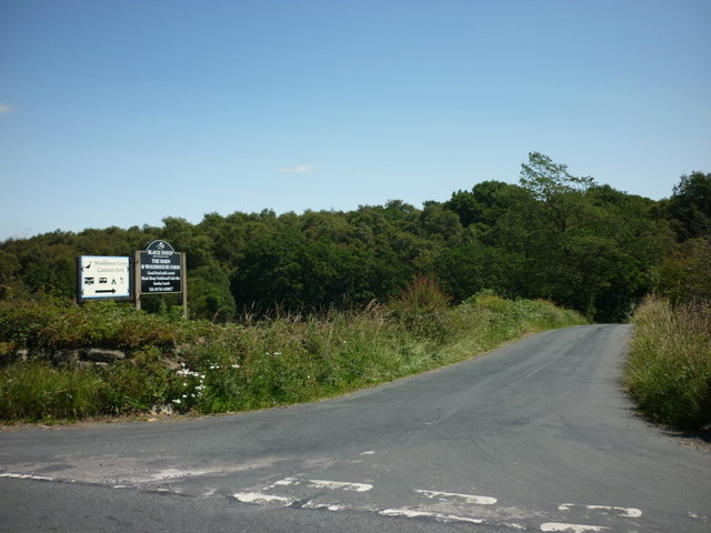
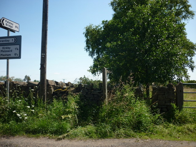
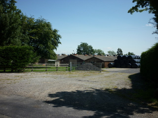
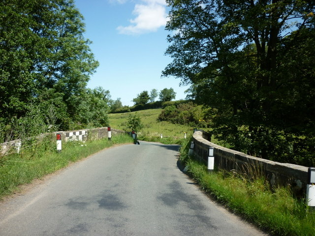
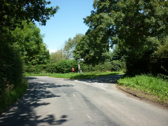
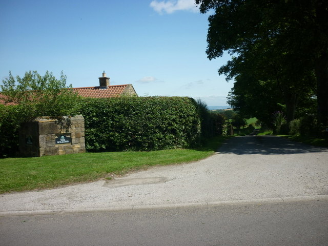
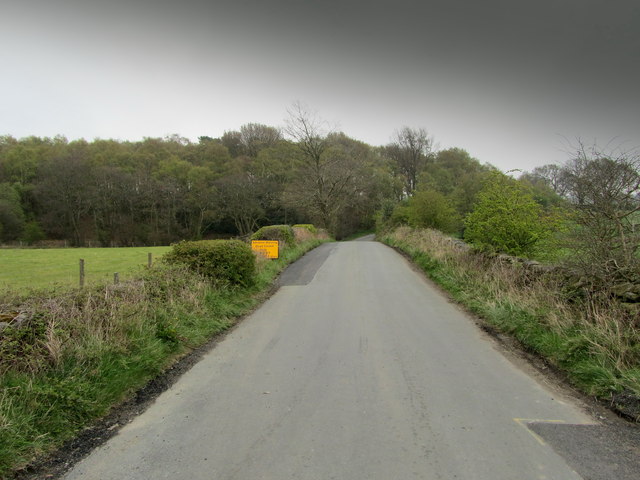
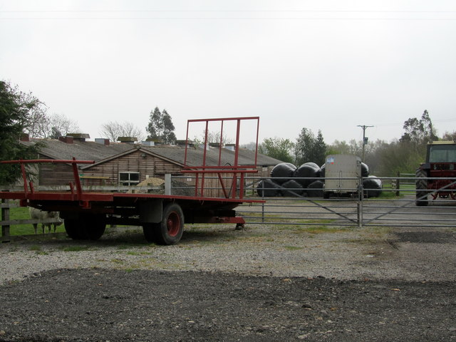
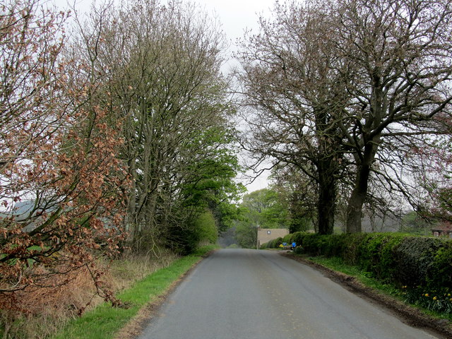
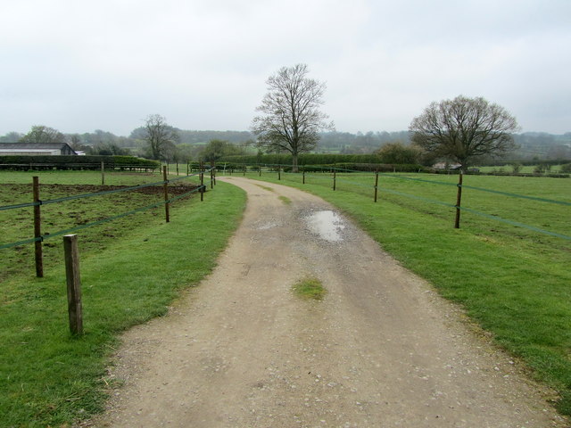
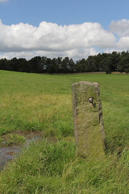
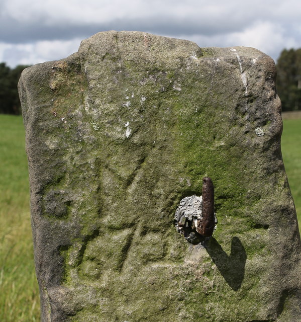
Low Wood Images

Images are sourced within 2km of 54.144426/-1.6582848 or Grid Reference SE2272. Thanks to Geograph Open Source API. All images are credited.

The way to Woodhouse Farm Caravan Park
A footpath towards Woodhouse Farm
Five Gates Farm
Five Gates Farm
A bridge over the River Laver
Gate Bridge Road joins Warren Lane
The entrance to The Willows
Temporarily Closed Road to Winksley The lane leading from Gate Bridge Road to Winksley is closed, causing a diversion of around an extra mile - fortunately this is only temporary.
Temporarily Closed Road to Winksley
The lane leading from Gate Bridge Road to Winksley is closed, causing a diversion of around an extra mile - fortunately this is only temporary.
Entrance to Five Gates Farm Entrance as seen from Gate Bridge Road.
Entrance to Five Gates Farm
Entrance as seen from Gate Bridge Road.
Gate Bridge Road On the road between Grantley and Kirkby Malzeard.
Gate Bridge Road
On the road between Grantley and Kirkby Malzeard.
Entrance to Gate Bridge Farm This particular access lane does not appear on the map, so I assume this is a recent development.
Entrance to Gate Bridge Farm
This particular access lane does not appear on the map, so I assume this is a recent development.
Windy Ridge Farm Farmhouse and buildings as seen from Warren Lane.
Windy Ridge Farm
Farmhouse and buildings as seen from Warren Lane.
Old Gatepost. inscribed with the letters GM and numbers 1672. <a href="https://www.geograph.org.uk/photo/3056118">SE2270 : Old Gatepost (detail).</a>
Old Gatepost.
inscribed with the letters GM and numbers 1672. SE2270 : Old Gatepost (detail).
Old Gatepost (detail). <a href="https://www.geograph.org.uk/photo/3056115">SE2270 : Old Gatepost.</a>
Old Gatepost (detail).
Footpath from Redmires towards Lumley Moor.
Ordnance Survey Flush Bracket 11573 This re-sited Bracket can be found on the wall of a newly extended building at The Moorhouse - formerly the Drovers Inn.
For more detail see : <span class="nowrap"><a title="http://www.bench-marks.org.uk/bm22378" rel="nofollow ugc noopener" href="http://www.bench-marks.org.uk/bm22378">Link</a><img style="margin-left:2px;" alt="External link" title="External link - shift click to open in new window" src="https://s1.geograph.org.uk/img/external.png" width="10" height="10"/></span>
Ordnance Survey Flush Bracket 11573
This re-sited Bracket can be found on the wall of a newly extended building at The Moorhouse - formerly the Drovers Inn. For more detail see : LinkExternal link
The original location of the now re-sited Ordnance Survey Flush Bracket 11573 The wall of the former Drovers Inn.
For more detail see : <span class="nowrap"><a title="http://www.bench-marks.org.uk/bm22378" rel="nofollow ugc noopener" href="http://www.bench-marks.org.uk/bm22378">Link</a><img style="margin-left:2px;" alt="External link" title="External link - shift click to open in new window" src="https://s1.geograph.org.uk/img/external.png" width="10" height="10"/></span>
The original location of the now re-sited Ordnance Survey Flush Bracket 11573
The wall of the former Drovers Inn. For more detail see : LinkExternal link
New Building at the former Drovers Inn The re-position Ordnance Survey Flush Bracket 11573 is visible on the new wall.
For more detail see : <span class="nowrap"><a title="http://www.bench-marks.org.uk/bm22378" rel="nofollow ugc noopener" href="http://www.bench-marks.org.uk/bm22378">Link</a><img style="margin-left:2px;" alt="External link" title="External link - shift click to open in new window" src="https://s1.geograph.org.uk/img/external.png" width="10" height="10"/></span>
New Building at the former Drovers Inn
The re-position Ordnance Survey Flush Bracket 11573 is visible on the new wall. For more detail see : LinkExternal link
Ford at Belford This ford on the River Laver is found on Belford Lane, a byway leading to Hedge Nook.
Ford at Belford
This ford on the River Laver is found on Belford Lane, a byway leading to Hedge Nook.
Show me another place!

Low Wood is located at Grid Ref: SE2272 (Lat: 54.144426, Lng: -1.6582848)

Division: West Riding

Administrative County: North Yorkshire

District: Harrogate

Police Authority: North Yorkshire

What 3 Words

///bared.rewarding.playback. Near Ripon, North Yorkshire

Related Wikis

Laverton, North Yorkshire

Laverton is a village and civil parish in the Harrogate district of North Yorkshire, England, about 7 miles (11 km) west of Ripon. The population of this...

Grantley, North Yorkshire

Grantley is a village (also known as High Grantley) and civil parish in North Yorkshire, England. It lies 5 miles (8 km) west of Ripon. The parish also...

Kirkby Malzeard

Kirkby Malzeard () is a village and civil parish in the Harrogate district of North Yorkshire, England. There has been a creamery in the village making...

Galphay

Galphay (traditionally pronounced [ˈgɔ:fə] GAW-fə) is a village in North Yorkshire, England. It is situated in the Nidderdale Area of Outstanding Natural...

Winksley

Winksley is a small village and civil parish in the district of Harrogate, North Yorkshire, England. It is situated west of Ripon, and is on the River...

Grantley Hall

Grantley Hall is a English country house located in North Yorkshire, England. It is situated near Grantley, about 5 miles (8 km) to the west of Ripon,...

Ripon and Pateley Bridge Rural District

Ripon and Pateley Bridge was a rural district in the West Riding of Yorkshire, England from 1937 to 1974. It was created in 1937 by a County Review Order...

Dallowgill

Dallowgill (historically also Dallaghill) is a village in Harrogate district in North Yorkshire, England. It consists of a number of scattered settlements...

Nearby Amenities

Located within 500m of 54.144426,-1.6582848
Building: yes
Lat/Long: 54.1469908/-1.6523788
Building: yes
Lat/Long: 54.1465132/-1.6564558
Building: yes
Lat/Long: 54.147217/-1.6592453
Building: yes
Lat/Long: 54.1485114/-1.6572926
Building: yes
Lat/Long: 54.1425172/-1.6536993
The data included in this document is from www.openstreetmap.org. The data is made available under ODbL.

Have you been to Low Wood?

Leave your review of Low Wood below (or comments, questions and feedback).