Kooroomooroo Wood

Wood, Forest in Yorkshire Harrogate

England

Kooroomooroo Wood

High Grantley, North Yorkshire
High Grantley, North Yorkshire Credit: Ian S

Kooroomooroo Wood is a picturesque forest located in Yorkshire, England. Spread across a vast area, this woodland is known for its stunning natural beauty and rich biodiversity. The wood is home to a variety of tree species, including oak, beech, and birch, creating a diverse and vibrant ecosystem.

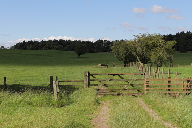
The forest is renowned for its tranquil atmosphere, making it a popular destination for nature lovers and outdoor enthusiasts. Visitors can enjoy leisurely walks along the well-maintained trails that wind through the wood, taking in the sights and sounds of the surrounding wildlife.

Kooroomooroo Wood is also a haven for birdwatchers, as it provides a habitat for numerous bird species. Birdsong can be heard throughout the forest, creating a soothing and melodic backdrop to the woodland experience.

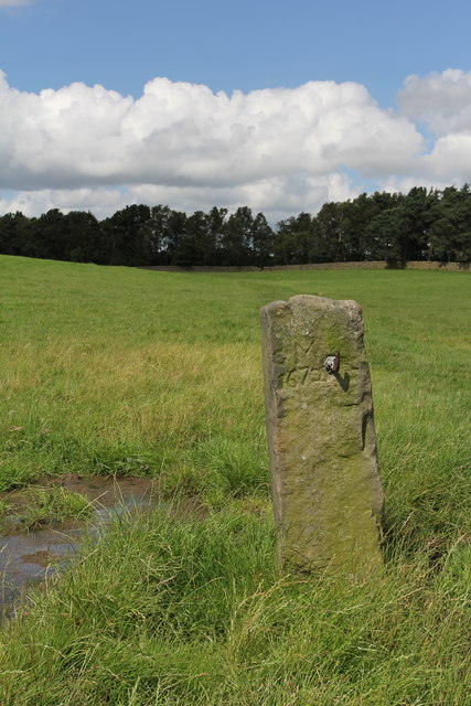
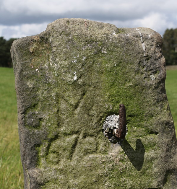
In addition to its natural beauty, Kooroomooroo Wood has historical significance. The wood has been referenced in ancient manuscripts and maps dating back centuries, highlighting its enduring presence in the region. Visitors can explore the remnants of old structures and artifacts that are scattered throughout the forest, offering glimpses into the area's past.

The wood is easily accessible, with parking facilities available nearby. It is recommended to visit during the spring and summer months when the forest is alive with vibrant foliage and blossoming flowers. Kooroomooroo Wood is a true gem of Yorkshire, offering a peaceful retreat in the heart of nature.

If you have any feedback on the listing, please let us know in the comments section below.

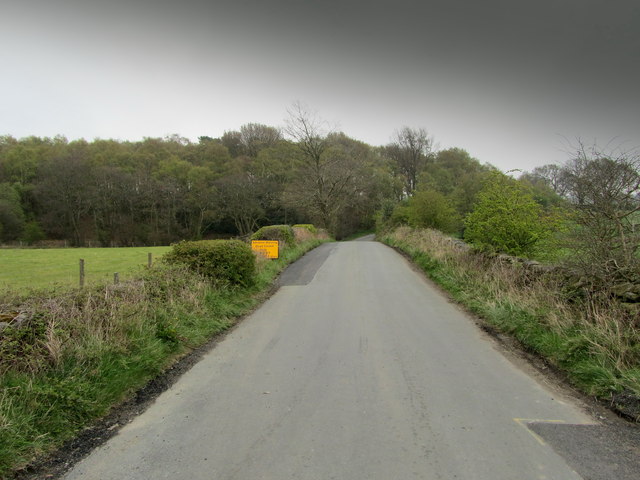
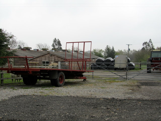
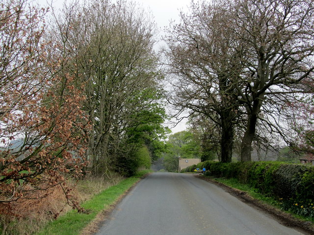
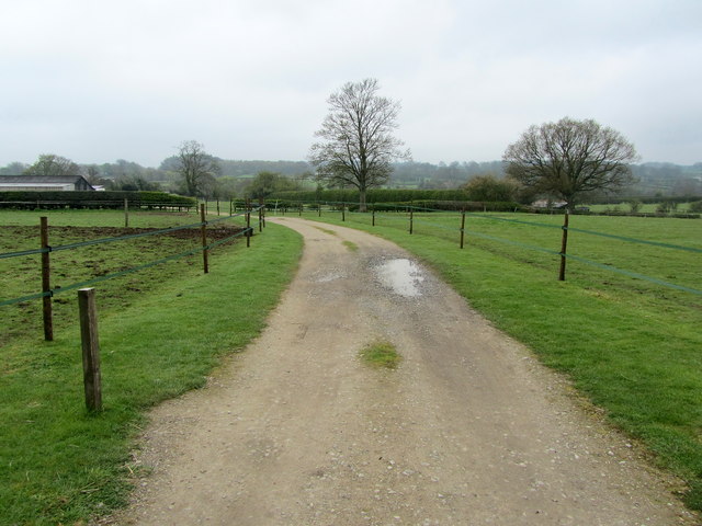
Kooroomooroo Wood Images

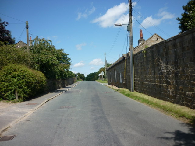
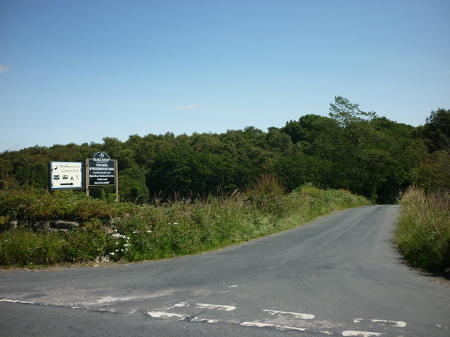
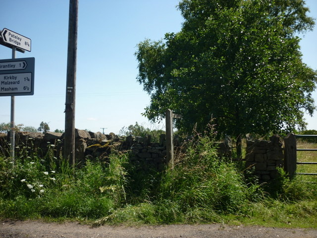
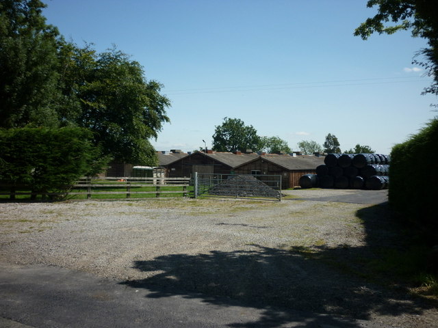
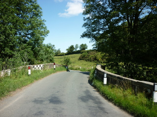
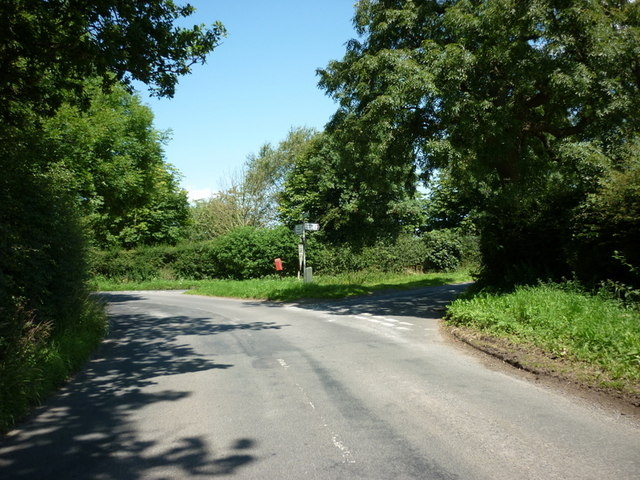
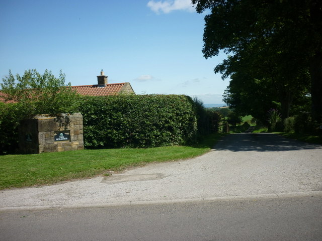
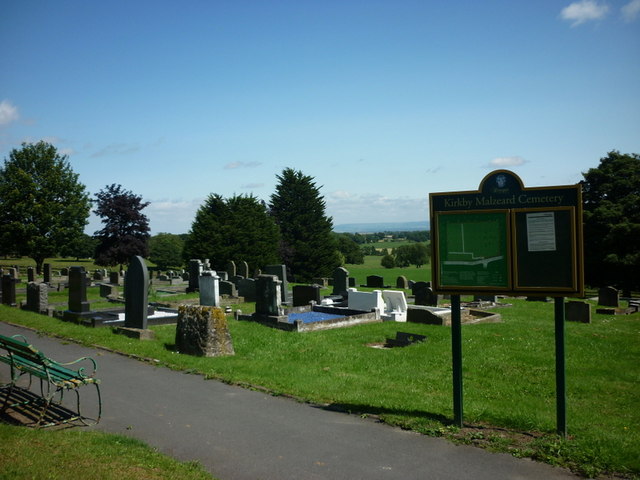
Images are sourced within 2km of 54.143761/-1.651769 or Grid Reference SE2272. Thanks to Geograph Open Source API. All images are credited.

High Grantley, North Yorkshire
The way to Woodhouse Farm Caravan Park
A footpath towards Woodhouse Farm
Five Gates Farm
Five Gates Farm
A bridge over the River Laver
Gate Bridge Road joins Warren Lane
The entrance to The Willows
Kirkby Malzeard Cemetery
Temporarily Closed Road to Winksley The lane leading from Gate Bridge Road to Winksley is closed, causing a diversion of around an extra mile - fortunately this is only temporary.
Temporarily Closed Road to Winksley
The lane leading from Gate Bridge Road to Winksley is closed, causing a diversion of around an extra mile - fortunately this is only temporary.
Entrance to Five Gates Farm Entrance as seen from Gate Bridge Road.
Entrance to Five Gates Farm
Entrance as seen from Gate Bridge Road.
Gate Bridge Road On the road between Grantley and Kirkby Malzeard.
Gate Bridge Road
On the road between Grantley and Kirkby Malzeard.
Entrance to Gate Bridge Farm This particular access lane does not appear on the map, so I assume this is a recent development.
Entrance to Gate Bridge Farm
This particular access lane does not appear on the map, so I assume this is a recent development.
Windy Ridge Farm Farmhouse and buildings as seen from Warren Lane.
Windy Ridge Farm
Farmhouse and buildings as seen from Warren Lane.
Old Gatepost. inscribed with the letters GM and numbers 1672. <a href="https://www.geograph.org.uk/photo/3056118">SE2270 : Old Gatepost (detail).</a>
Old Gatepost.
inscribed with the letters GM and numbers 1672. SE2270 : Old Gatepost (detail).
Old Gatepost (detail). <a href="https://www.geograph.org.uk/photo/3056115">SE2270 : Old Gatepost.</a>
Old Gatepost (detail).
Footpath from Redmires towards Lumley Moor.
Ordnance Survey Flush Bracket 11573 This re-sited Bracket can be found on the wall of a newly extended building at The Moorhouse - formerly the Drovers Inn.
For more detail see : <span class="nowrap"><a title="http://www.bench-marks.org.uk/bm22378" rel="nofollow ugc noopener" href="http://www.bench-marks.org.uk/bm22378">Link</a><img style="margin-left:2px;" alt="External link" title="External link - shift click to open in new window" src="https://s1.geograph.org.uk/img/external.png" width="10" height="10"/></span>
Ordnance Survey Flush Bracket 11573
This re-sited Bracket can be found on the wall of a newly extended building at The Moorhouse - formerly the Drovers Inn. For more detail see : LinkExternal link
The original location of the now re-sited Ordnance Survey Flush Bracket 11573 The wall of the former Drovers Inn.
For more detail see : <span class="nowrap"><a title="http://www.bench-marks.org.uk/bm22378" rel="nofollow ugc noopener" href="http://www.bench-marks.org.uk/bm22378">Link</a><img style="margin-left:2px;" alt="External link" title="External link - shift click to open in new window" src="https://s1.geograph.org.uk/img/external.png" width="10" height="10"/></span>
The original location of the now re-sited Ordnance Survey Flush Bracket 11573
The wall of the former Drovers Inn. For more detail see : LinkExternal link
Show me another place!

Kooroomooroo Wood is located at Grid Ref: SE2272 (Lat: 54.143761, Lng: -1.651769)

Division: West Riding

Administrative County: North Yorkshire

District: Harrogate

Police Authority: North Yorkshire

What 3 Words

///serves.skidding.scope. Near Ripon, North Yorkshire

Related Wikis

Laverton, North Yorkshire

Laverton is a village and civil parish in the Harrogate district of North Yorkshire, England, about 7 miles (11 km) west of Ripon. The population of this...

Grantley, North Yorkshire

Grantley is a village (also known as High Grantley) and civil parish in North Yorkshire, England. It lies 5 miles (8 km) west of Ripon. The parish also...

Kirkby Malzeard

Kirkby Malzeard () is a village and civil parish in the Harrogate district of North Yorkshire, England. There has been a creamery in the village making...

Galphay

Galphay (traditionally pronounced [ˈgɔ:fə] GAW-fə) is a village in North Yorkshire, England. It is situated in the Nidderdale Area of Outstanding Natural...

Nearby Amenities

Located within 500m of 54.143761,-1.651769
Place: farm
Lat/Long: 54.1400054/-1.6514882
Building: yes
Lat/Long: 54.1481847/-1.6520999
Building: yes
Lat/Long: 54.1469908/-1.6523788
Building: yes
Lat/Long: 54.1465132/-1.6564558
Building: yes
Lat/Long: 54.1454449/-1.6447399
Building: yes
Lat/Long: 54.1437741/-1.6486567
Building: yes
Lat/Long: 54.1425172/-1.6536993
The data included in this document is from www.openstreetmap.org. The data is made available under ODbL.

Have you been to Kooroomooroo Wood?

Leave your review of Kooroomooroo Wood below (or comments, questions and feedback).