Upper New Copse
Wood, Forest in Wiltshire
England
Upper New Copse
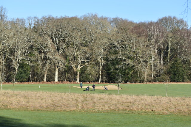
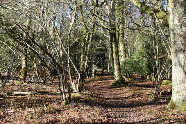
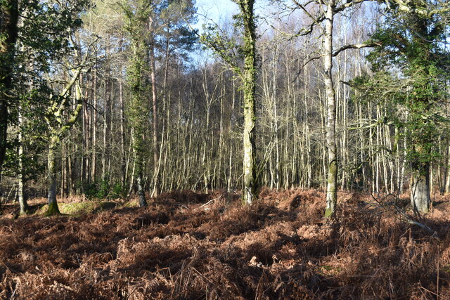
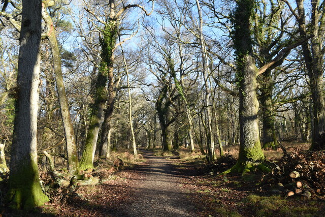
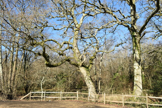
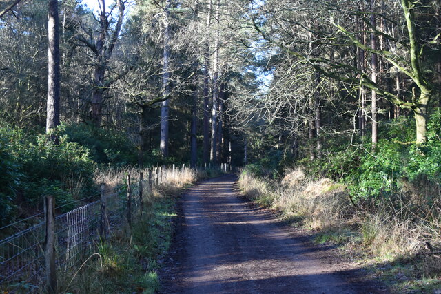
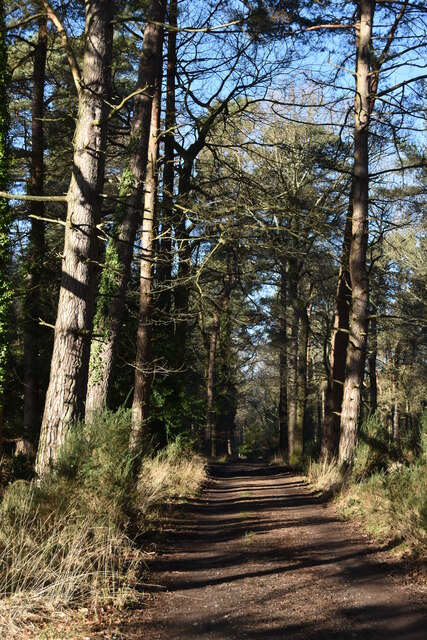
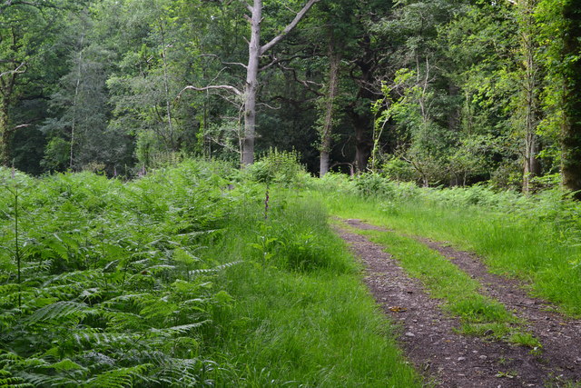
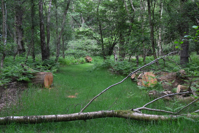
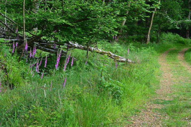
Upper New Copse is a picturesque woodland area located in the county of Wiltshire, England. Situated near the village of New Copse, it covers an area of approximately 50 acres and is renowned for its natural beauty and rich biodiversity. This enchanting forest is characterized by its dense canopy of towering trees, including oak, beech, and ash, which create a tranquil and serene atmosphere.
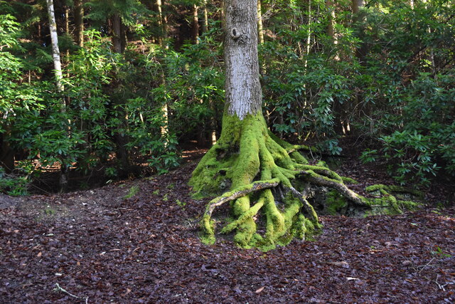
The woodland floor of Upper New Copse is carpeted with a variety of flora, such as bluebells, wild garlic, and ferns, adding to its charm and providing a habitat for numerous species of wildlife. The forest is home to a diverse range of animal species, including deer, rabbits, badgers, and a multitude of bird species, making it a popular spot for nature enthusiasts and birdwatchers.
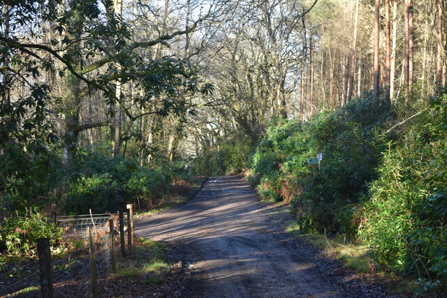
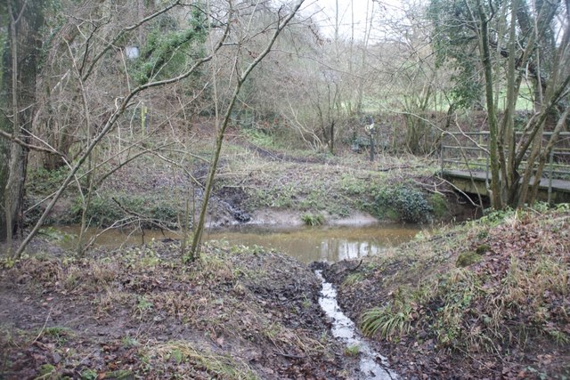
Traversing through Upper New Copse, visitors can enjoy a network of well-maintained footpaths and trails that wind their way through the forest, allowing for leisurely walks and exploration of the surrounding natural wonders. The forest also boasts a small stream that meanders through its heart, adding to its idyllic setting and providing a serene soundtrack for those who venture into its depths.
Upper New Copse offers a peaceful retreat from the hustle and bustle of everyday life, providing a haven for relaxation, nature appreciation, and outdoor activities. It is a truly enchanting woodland, where visitors can immerse themselves in the beauty of nature and experience the tranquility of the Wiltshire countryside.
If you have any feedback on the listing, please let us know in the comments section below.
Upper New Copse Images
Images are sourced within 2km of 50.983392/-1.681985 or Grid Reference SU2220. Thanks to Geograph Open Source API. All images are credited.


Upper New Copse is located at Grid Ref: SU2220 (Lat: 50.983392, Lng: -1.681985)
Unitary Authority: Wiltshire
Police Authority: Wiltshire
What 3 Words
///proper.plums.tadpoles. Near Whiteparish, Wiltshire
Nearby Locations
Related Wikis

Langley Wood and Homan's Copse
Langley Wood and Homan's Copse (grid reference SU230206) is a 219.28 hectare biological Site of Special Scientific Interest in Wiltshire, notified in 1985...

Loosehanger Copse and Meadows
Loosehanger Copse and Meadows (grid reference SU215195) is a 56.27 hectare biological Site of Special Scientific Interest in Wiltshire, England, notified...

Lover, Wiltshire
Lover (pronounced like Dover, ) is a small village in Wiltshire, England, close to the county border with Hampshire. It is part of the parish of Redlynch...

Bohemia, Wiltshire
Bohemia is a hamlet in Wiltshire, England, in the parish of Redlynch. It lies about 1 mile (1.6 km) southeast of Redlynch and 7.5 miles (12 km) southeast...
Redlynch, Wiltshire
Redlynch is a village and civil parish about 6.5 miles (10.5 km) southeast of Salisbury in Wiltshire, England. The parish includes the villages of Morgan...
Hamptworth
Hamptworth is a hamlet in Wiltshire, England, in the extreme southeast of the county. It is in the civil parish of Landford, and lies within the boundaries...

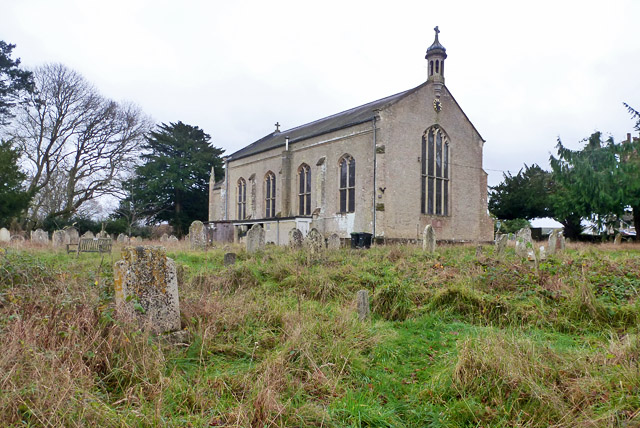
Church of St Birinus, Morgan's Vale
The Church of St Birinus is a Church of England church in Morgan's Vale, Wiltshire, England. It was designed by Charles Ponting and constructed in 1894...

Hale, Hampshire
Hale is a small village and civil parish in Hampshire, England. It lies on the border of the New Forest, overlooking the valley of the River Avon. The...
Related Videos

NEW FOREST WALK at FRANCHISES WOOD & LOVER VILLAGE (NEW FOREST NATIONAL PARK)
This is another video in my series “ New Forest Walks” accompanied by my Whippet (Logan). In this episode, I take a walk around ...

Exploring local woods | Brew and Chat
Join me on a chilled walk through some local woods - with a stop for a cuppa! Pocket Bellows from The Bath Bushcraft Shop: ...

Егор Крид, The Limba - Coco L'eau (slowed & Bass Boosted)
скачать музыку: http://catcut.net/1UjP если хотите использовать эту музыку, в описании добавьте ссылку на этот канал.
Nearby Amenities
Located within 500m of 50.983392,-1.681985Have you been to Upper New Copse?
Leave your review of Upper New Copse below (or comments, questions and feedback).