Brettanby Plantation

Wood, Forest in Yorkshire Richmondshire

England

Brettanby Plantation

Power lines by the A1(M)
Power lines by the A1(M) Credit: Anthony Parkes

Brettanby Plantation is a picturesque woodland located in Yorkshire, England. Situated near the village of Brettanby, this plantation spans over a vast area and is renowned for its natural beauty and rich biodiversity. The plantation primarily consists of a dense forest cover, featuring a variety of tree species that create a lush and verdant landscape.

The woodland is home to an array of wildlife, attracting nature enthusiasts and wildlife photographers alike. Visitors to Brettanby Plantation can spot various bird species such as woodpeckers, owls, and songbirds, along with small mammals like squirrels and rabbits. The tranquil atmosphere and peaceful surroundings provide an ideal habitat for these creatures.

The plantation also offers several trails and pathways, allowing visitors to explore the woodland at their own pace. These paths wind their way through the forest, providing opportunities for hiking, walking, and cycling. The terrain varies, with some areas being flat and easily accessible, while others present more challenging inclines and obstacles.

Brettanby Plantation is popular among locals and tourists alike, serving as a haven for those seeking solace in nature or engaging in outdoor activities. The plantation's beauty changes with the seasons, with vibrant hues of autumn foliage and blooming wildflowers in the spring. The peaceful ambiance and scenic vistas make it a perfect destination for nature lovers and those seeking a break from the hustle and bustle of city life.

Overall, Brettanby Plantation is a captivating woodland in Yorkshire, providing a sanctuary for wildlife and offering a serene retreat for visitors to immerse themselves in the wonders of nature.

If you have any feedback on the listing, please let us know in the comments section below.

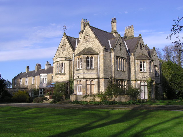
Brettanby Plantation Images

Images are sourced within 2km of 54.492502/-1.6554059 or Grid Reference NZ2210. Thanks to Geograph Open Source API. All images are credited.

Power lines by the A1(M)
Sheep pasture above Clow Beck Green pastures with what appear to be lines of old ridge and furrow.
Sheep pasture above Clow Beck
Green pastures with what appear to be lines of old ridge and furrow.
Roadworks on A1(M) A temporary 50mph limit enforced by average speed cameras for roadworks, although there are no actual works visible in this shot.
Roadworks on A1(M)
A temporary 50mph limit enforced by average speed cameras for roadworks, although there are no actual works visible in this shot.
Clowbeck Farm
Clowbeck Farm
View West From Dere Street General view west across arable fields to the raised ground mapped as Micklow Woods which doesn't seem to consist of any trees.
View West From Dere Street
General view west across arable fields to the raised ground mapped as Micklow Woods which doesn't seem to consist of any trees.
A1(M) near Barton Just south of here, the A1 attains motorway status, and at this point follows the line of an old railway. Looking north.
A1(M) near Barton
Just south of here, the A1 attains motorway status, and at this point follows the line of an old railway. Looking north.
Brettanby Manor Lodge
Brettanby Manor Dated : 1858.
Brettanby Manor
Dated : 1858.
Date Stone : Brettanby  Manor
Date Stone : Brettanby Manor
B6275 (Roman road) at Hangbank Bridge This photograph shows a section of the B6275 (Roman road) that runs from the A1(M) motorway (Junction 56) in a northerly direction to Piercebridge.  For much of its length the road is extremely straight and quite flat.  Notice the electricity pylon on the left-hand side of the road. This is one of a string of such pylons in this area.  This stretch of the grid runs in an east-west direction from near Micklow Wood to near Little Beck Bridge.  They serve as a useful navigation aid for walkers in this area. The track shown in the foreground of the picture (on the right-hand side) is the start of the footpath/track that goes in an easterly direction to the village of Barton.
B6275 (Roman road) at Hangbank Bridge
This photograph shows a section of the B6275 (Roman road) that runs from the A1(M) motorway (Junction 56) in a northerly direction to Piercebridge. For much of its length the road is extremely straight and quite flat. Notice the electricity pylon on the left-hand side of the road. This is one of a string of such pylons in this area. This stretch of the grid runs in an east-west direction from near Micklow Wood to near Little Beck Bridge. They serve as a useful navigation aid for walkers in this area. The track shown in the foreground of the picture (on the right-hand side) is the start of the footpath/track that goes in an easterly direction to the village of Barton.
The track to Hangbank Bridge This photograph shows a section of the track/footpath that runs in a westerly direction from the village of Barton to Hangbank Bridge.  Notice the run of pylons on the horizon; these act as a useful navigational aid for walkers in this area.
The track to Hangbank Bridge
This photograph shows a section of the track/footpath that runs in a westerly direction from the village of Barton to Hangbank Bridge. Notice the run of pylons on the horizon; these act as a useful navigational aid for walkers in this area.
A1(M) Motorway Traffic (view south-west) This photograph was taken from the farm access bridge that spans the A1(M) near the village of Barton. It was taken looking in a south-westerly direction directly above the north-bound lane.
A1(M) Motorway Traffic (view south-west)
This photograph was taken from the farm access bridge that spans the A1(M) near the village of Barton. It was taken looking in a south-westerly direction directly above the north-bound lane.
A1(M) Motorway Traffic (view north-east) This photograph was taken from the farm access bridge that spans the A1(M) near the village of Barton. It was taken looking in a north-easterly direction directly above the south-bound lane.
A1(M) Motorway Traffic (view north-east)
This photograph was taken from the farm access bridge that spans the A1(M) near the village of Barton. It was taken looking in a north-easterly direction directly above the south-bound lane.
Church at Barton (view east) This photograph shows a view of the church of St Cuthbert with St Mary in the village of Barton.  The picture was taken looking in an easterly direction from the entrance to the church grounds on the minor road that runs between Barton and Little Beck Bridge.
Church at Barton (view east)
This photograph shows a view of the church of St Cuthbert with St Mary in the village of Barton. The picture was taken looking in an easterly direction from the entrance to the church grounds on the minor road that runs between Barton and Little Beck Bridge.
A1(M) Motorway traffic near Barton (view north-east) This photograph was taken from the road bridge that spans the A1(M) near the village of Barton. It was taken looking in a north-easterly direction directly above the south-bound lane.  Notice the 'ARRIVA' X27 public service vehicle on the south-bound carriage-way.  The electricity pylon in the horizon on the left-hand side of the picture is significant as a navigation aid for walkers in this area. In the distance the bridge that carries the public footpath from Newton Morrell over the motorway to Brettanby Farm can just be seen.
A1(M) Motorway traffic near Barton (view north-east)
This photograph was taken from the road bridge that spans the A1(M) near the village of Barton. It was taken looking in a north-easterly direction directly above the south-bound lane. Notice the 'ARRIVA' X27 public service vehicle on the south-bound carriage-way. The electricity pylon in the horizon on the left-hand side of the picture is significant as a navigation aid for walkers in this area. In the distance the bridge that carries the public footpath from Newton Morrell over the motorway to Brettanby Farm can just be seen.
A1(M) Motorway traffic near Barton (view south-west) This photograph was taken from the road bridge that spans the A1(M) near the village of Barton. It was taken looking in a south-westerly direction directly above the north-bound lane.  In the distance, on the left-hand side of the picture, the blue motorway exit sign is sign-posting the B6275 (Roman road) and Piercebridge.
A1(M) Motorway traffic near Barton (view south-west)
This photograph was taken from the road bridge that spans the A1(M) near the village of Barton. It was taken looking in a south-westerly direction directly above the north-bound lane. In the distance, on the left-hand side of the picture, the blue motorway exit sign is sign-posting the B6275 (Roman road) and Piercebridge.
Lake at Brettanby Manor This picture shows a wonderful waterfall emerging from the lake at Brettanby Manor <a href="https://www.geograph.org.uk/photo/160570">NZ2209 : Brettanby Manor</a>.  The picture was taken from the road bridge over Clow Beck looking in a north-westerly direction towards Watherne and Micklow Hill.
Lake at Brettanby Manor
This picture shows a wonderful waterfall emerging from the lake at Brettanby Manor NZ2209 : Brettanby Manor. The picture was taken from the road bridge over Clow Beck looking in a north-westerly direction towards Watherne and Micklow Hill.
Clow Beck in spate at Brettanby Manor This picture shows an unusually large volume of water flowing down Clow Beck as it passes by Brettanby Manor <a href="https://www.geograph.org.uk/photo/160570">NZ2209 : Brettanby Manor</a>.  The picture was taken from the road bridge over Clow Beck looking in a south-easterly direction towards Barton Beck and the A1(M) motorway (beyond the trees in the right-hand side of the picture).
Clow Beck in spate at Brettanby Manor
This picture shows an unusually large volume of water flowing down Clow Beck as it passes by Brettanby Manor NZ2209 : Brettanby Manor. The picture was taken from the road bridge over Clow Beck looking in a south-easterly direction towards Barton Beck and the A1(M) motorway (beyond the trees in the right-hand side of the picture).
Show me another place!

Brettanby Plantation is located at Grid Ref: NZ2210 (Lat: 54.492502, Lng: -1.6554059)

Division: North Riding

Administrative County: North Yorkshire

District: Richmondshire

Police Authority: North Yorkshire

What 3 Words

///ruling.sock.pigs. Near High Coniscliffe, Co. Durham

Related Wikis

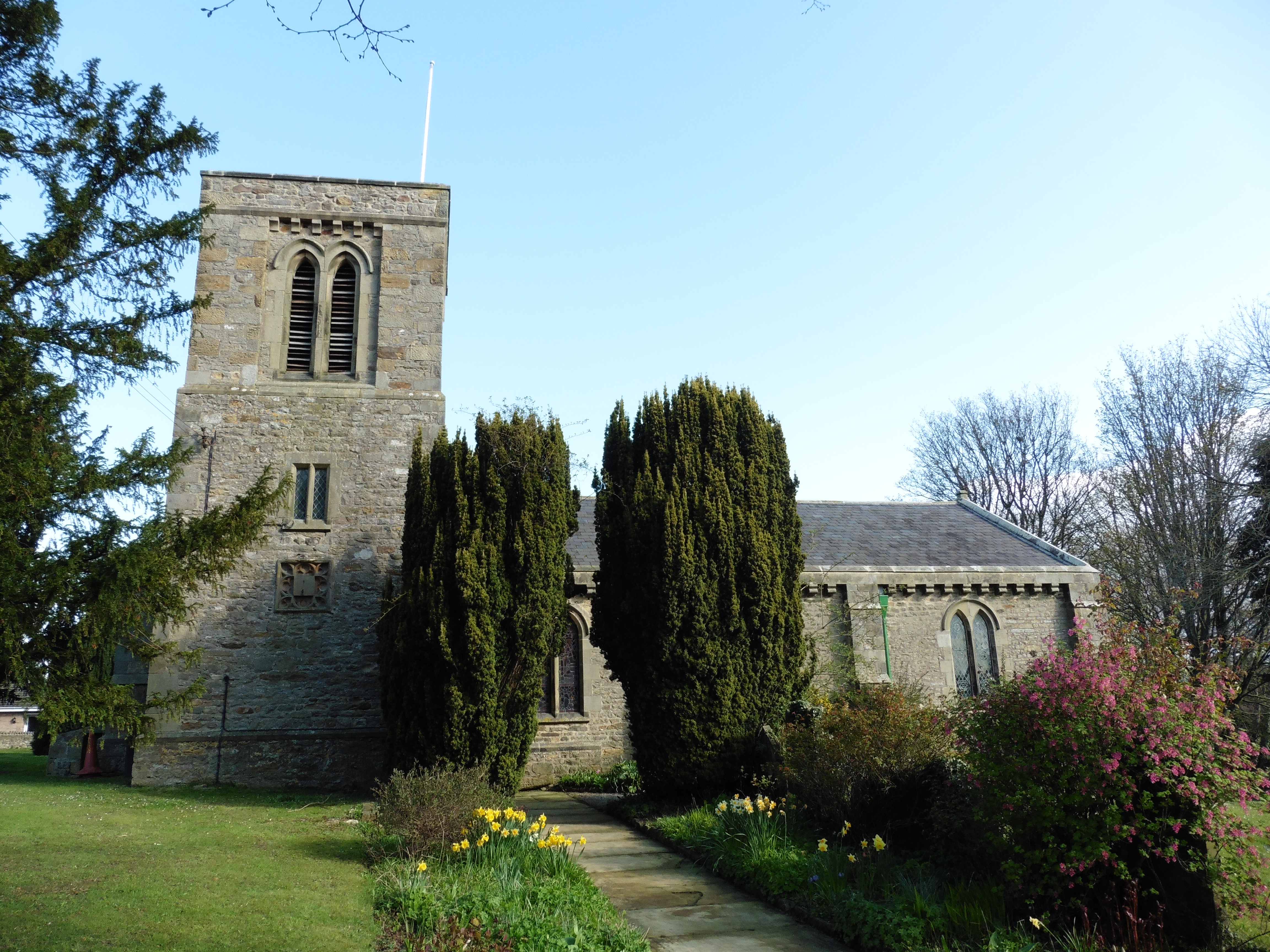
St Cuthbert and St Mary's Church, Barton

St Cuthbert and St Mary's Church is the parish church of Barton, North Yorkshire, in England. In the medieval period, Barton was served by two churches...

Barton, North Yorkshire

Barton is a village and civil parish in North Yorkshire, England. According to the 2011 census it had a population of 837. It is situated near the border...

Newton Morrell

Newton Morrell is a village and civil parish in the Richmondshire district of North Yorkshire, England. It is 6 miles (9 km) from Darlington and 2 miles...

Aldbrough St John

Aldbrough St John is a village and civil parish (called just Aldbrough) in the Richmondshire district in North Yorkshire, England. The parish has a population...

Nearby Amenities

Located within 500m of 54.492502,-1.6554059
Brettanby Plantation
Place: locality
Lat/Long: 54.4925119/-1.6547266
Middle Belt
Place: locality
Lat/Long: 54.4892466/-1.6602206
The data included in this document is from www.openstreetmap.org. The data is made available under ODbL.

Have you been to Brettanby Plantation?

Leave your review of Brettanby Plantation below (or comments, questions and feedback).