Crossflat Plantation
Wood, Forest in Derbyshire Derbyshire Dales
England
Crossflat Plantation
Crossflat Plantation is a picturesque woodland located in Derbyshire, England. Covering an area of approximately 100 hectares, it is a popular destination for nature enthusiasts, hikers, and families seeking a tranquil escape from the hustle and bustle of urban life.
The plantation is primarily composed of deciduous trees, such as oak, beech, and birch, which create a diverse and vibrant ecosystem. The dense canopies provide shelter for a wide array of wildlife, including birds, mammals, and insects. Visitors can spot species such as red deer, badgers, and various bird species, making it a haven for wildlife enthusiasts and birdwatchers.
Traversing the woodland, visitors will find well-maintained walking trails that meander through the plantation, allowing for an immersive experience in nature. These trails are suitable for all levels of walkers, from leisurely strollers to more experienced trekkers. Along the way, informative signposts provide educational insights into the local flora and fauna, enhancing the experience further.
Crossflat Plantation is a favorite spot for outdoor activities, such as picnicking, cycling, and photography. Its serene atmosphere, coupled with breathtaking views of the surrounding countryside, make it an ideal location for capturing stunning photographs or simply enjoying a quiet moment amidst nature's beauty.
Overall, Crossflat Plantation offers a delightful escape into the natural world, showcasing the diverse flora and fauna of Derbyshire. Whether visitors seek adventure, relaxation, or a chance to connect with nature, this woodland sanctuary provides an unforgettable experience for all.
If you have any feedback on the listing, please let us know in the comments section below.
Crossflat Plantation Images
Images are sourced within 2km of 53.170892/-1.7117044 or Grid Reference SK1963. Thanks to Geograph Open Source API. All images are credited.


Crossflat Plantation is located at Grid Ref: SK1963 (Lat: 53.170892, Lng: -1.7117044)
Administrative County: Derbyshire
District: Derbyshire Dales
Police Authority: Derbyshire
What 3 Words
///innovator.survive.policy. Near Youlgreave, Derbyshire
Nearby Locations
Related Wikis

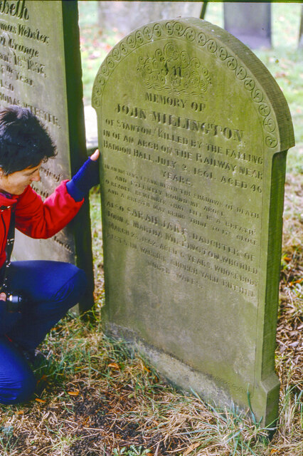
Middleton-by-Youlgreave
Middleton, often known as Middleton-by-Youlgreave or Middleton-by-Youlgrave to distinguish it from nearby Middleton-by-Wirksworth, is a village in the...

Conksbury
Conksbury is the site of a deserted medieval settlement between Over Haddon and Youlgreave in Derbyshire, England. == History == The village was recorded...

Youlgreave
Youlgreave or Youlgrave is a village and civil parish in the Peak District of Derbyshire, England, on the River Bradford 2+1⁄2 miles (4.0 km) south of...

Middleton and Smerrill
Middleton and Smerrill is a civil parish within the Derbyshire Dales district, in the county of Derbyshire, England. Largely rural except for the village...
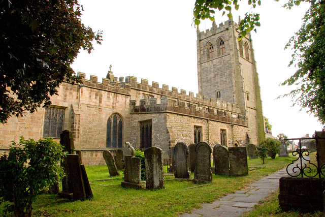
All Saints' Church, Youlgreave
All Saints’ Church, Youlgreave is a Grade I listed parish church in the Church of England in Youlgreave, Derbyshire. == History == The church dates from...

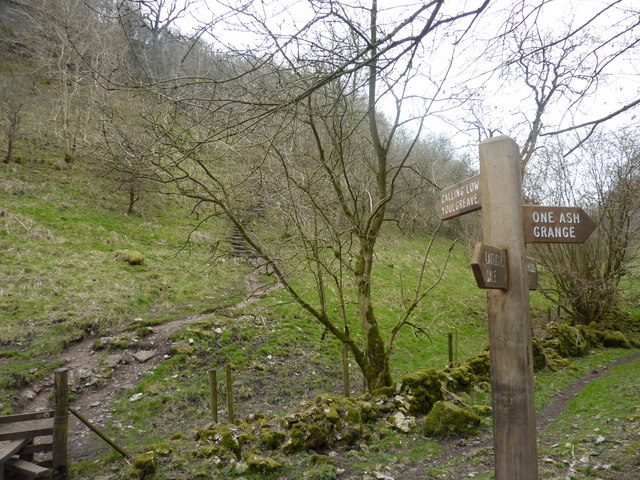
Limey Way
The Limey Way is a 65-kilometre (40 mi) challenge walk through Derbyshire, England. It starts at Castleton and progresses through 15 major and 5 minor...

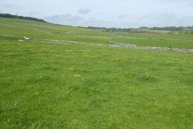
Harthill Moor
Harthill Moor is a small upland area in the Derbyshire Peak District of central and northern England, lying between Matlock and Bakewell near the villages...
Cales Dale
Cales Dale is a short valley towards the head of Lathkill Dale near Monyash, Derbyshire in the Peak District of England. Cales Dale is included within...
Nearby Amenities
Located within 500m of 53.170892,-1.7117044Have you been to Crossflat Plantation?
Leave your review of Crossflat Plantation below (or comments, questions and feedback).