Foggy Lees Plantation
Wood, Forest in Derbyshire Derbyshire Dales
England
Foggy Lees Plantation

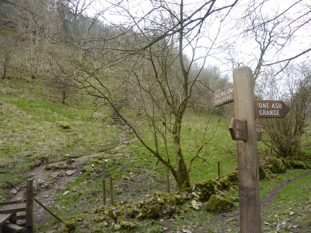
Foggy Lees Plantation is a picturesque woodland area located in Derbyshire, England. Covering an extensive area, the plantation is renowned for its dense forests and tranquil atmosphere. It is a popular destination for nature lovers and outdoor enthusiasts seeking solace amidst the beauty of nature.
The plantation is characterized by its thick fog, which gives it its unique name. The fog often blankets the area, creating an ethereal ambiance and adding to the mystique of the place. It is particularly enchanting during the early morning or late evening hours when the fog is at its thickest.
The woodland is home to a diverse range of tree species, including oak, beech, and birch. These majestic trees provide a haven for various wildlife species, such as deer, squirrels, and numerous bird species. Nature enthusiasts can often spot these creatures as they explore the plantation's well-maintained trails.
Visitors can enjoy a leisurely stroll or opt for more adventurous activities like hiking or mountain biking along the plantation's extensive network of paths. The terrain varies from gentle slopes to more challenging trails, catering to different fitness levels and preferences.
Foggy Lees Plantation also offers several amenities for visitors' convenience. There are picnic areas where families and friends can enjoy a relaxing meal amidst the scenic surroundings. Additionally, the plantation provides ample parking and well-maintained restroom facilities to ensure a comfortable experience for all.
Overall, Foggy Lees Plantation is a captivating woodland destination that offers a serene escape from the bustling city life. Its breathtaking beauty, diverse wildlife, and well-maintained amenities make it an ideal spot for nature enthusiasts and anyone seeking a peaceful retreat in Derbyshire.
If you have any feedback on the listing, please let us know in the comments section below.
Foggy Lees Plantation Images
Images are sourced within 2km of 53.167597/-1.7169918 or Grid Reference SK1963. Thanks to Geograph Open Source API. All images are credited.


Foggy Lees Plantation is located at Grid Ref: SK1963 (Lat: 53.167597, Lng: -1.7169918)
Administrative County: Derbyshire
District: Derbyshire Dales
Police Authority: Derbyshire
What 3 Words
///enrolling.advice.slimming. Near Youlgreave, Derbyshire
Nearby Locations
Related Wikis

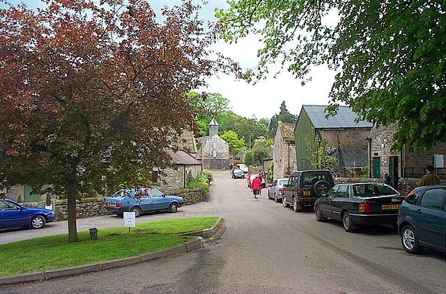
Middleton-by-Youlgreave
Middleton, often known as Middleton-by-Youlgreave or Middleton-by-Youlgrave to distinguish it from nearby Middleton-by-Wirksworth, is a village in the...

Middleton and Smerrill
Middleton and Smerrill is a civil parish within the Derbyshire Dales district, in the county of Derbyshire, England. Largely rural except for the village...

Youlgreave
Youlgreave or Youlgrave is a village and civil parish in the Peak District of Derbyshire, England, on the River Bradford 2+1⁄2 miles (4.0 km) south of...

Conksbury
Conksbury is the site of a deserted medieval settlement between Over Haddon and Youlgreave in Derbyshire, England. == History == The village was recorded...

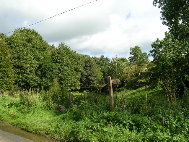
Limey Way
The Limey Way is a 65-kilometre (40 mi) challenge walk through Derbyshire, England. It starts at Castleton and progresses through 15 major and 5 minor...
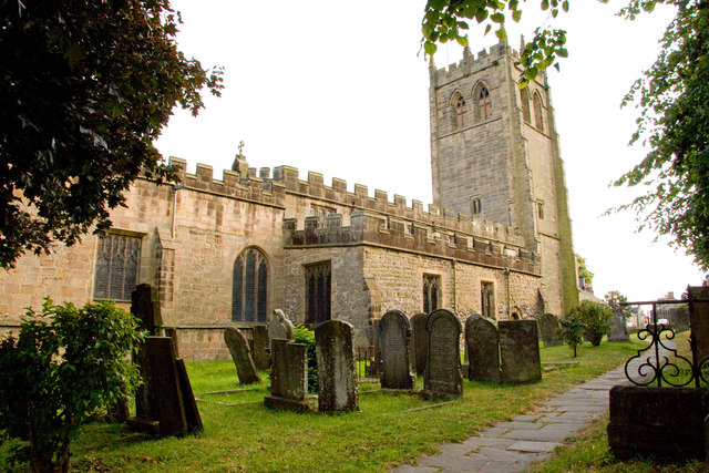
All Saints' Church, Youlgreave
All Saints’ Church, Youlgreave is a Grade I listed parish church in the Church of England in Youlgreave, Derbyshire. == History == The church dates from...
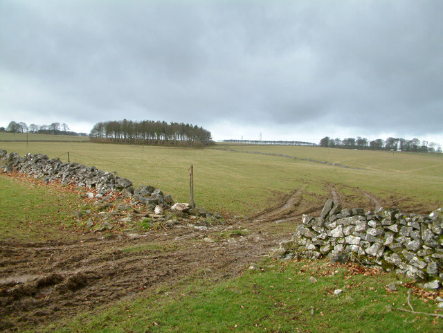
Cales Dale
Cales Dale is a short valley towards the head of Lathkill Dale near Monyash, Derbyshire in the Peak District of England. Cales Dale is included within...
Gratton, Derbyshire
Gratton is a civil parish in the Derbyshire Dales district of central Derbyshire, half a mile west of the neighbouring village, Elton. == See also... ==
Nearby Amenities
Located within 500m of 53.167597,-1.7169918Have you been to Foggy Lees Plantation?
Leave your review of Foggy Lees Plantation below (or comments, questions and feedback).