Ash Covert
Wood, Forest in Wiltshire
England
Ash Covert
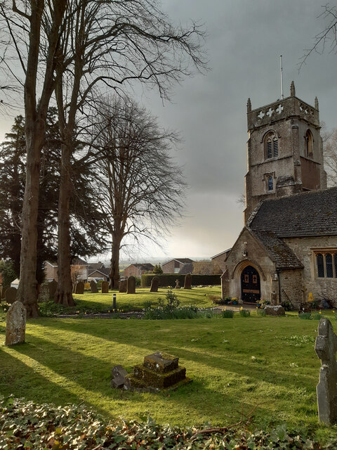
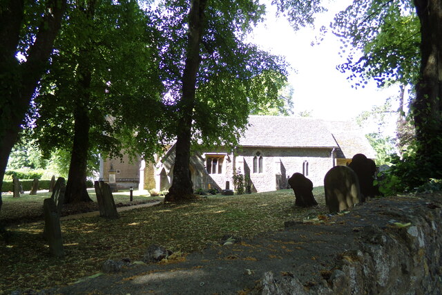
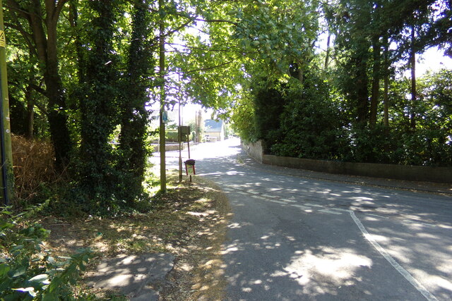
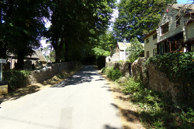
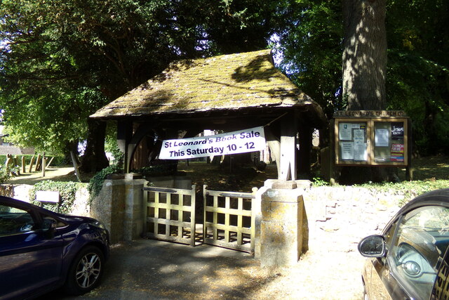
Ash Covert is a small village located in the county of Wiltshire, England. Nestled in the midst of beautiful woodlands and forests, it is surrounded by a serene and picturesque environment. The village is situated in the southern part of the county, approximately 15 miles southwest of the city of Salisbury.
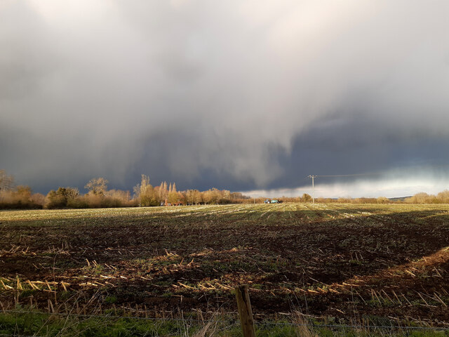
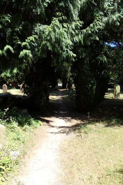
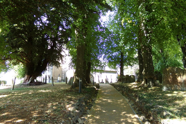
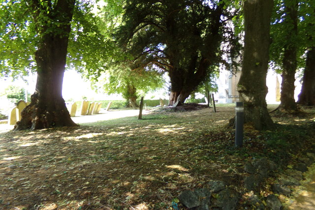
The name "Ash Covert" reflects the abundance of ash trees that can be found in the area's dense woodlands. These trees contribute to the village's natural beauty and provide a habitat for diverse wildlife. The surrounding forests offer residents and visitors numerous opportunities for recreational activities such as hiking, cycling, and wildlife spotting.
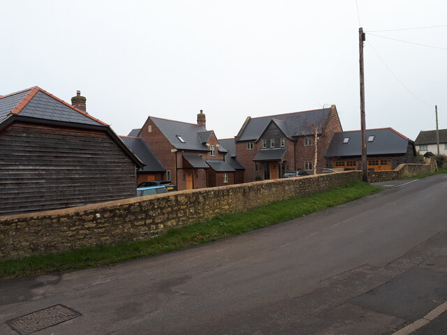
The village itself is a close-knit community with a population of around a hundred residents. It features a small but charming collection of homes, many of which have retained their traditional architectural style. The village also has a quaint village green, where locals often gather for social events and community activities.
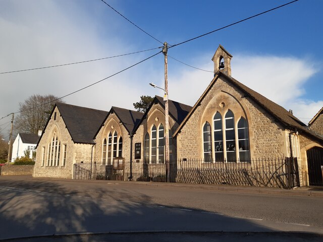
Despite its small size, Ash Covert boasts a strong sense of community spirit. The villagers actively engage in local initiatives and events, fostering a warm and friendly atmosphere. The village also benefits from a well-maintained primary school, which serves the educational needs of the local children.
Overall, Ash Covert, Wiltshire, is a peaceful and idyllic village surrounded by lush woodlands and forests. Its natural beauty, combined with its strong sense of community, makes it an attractive place to live for those seeking a tranquil and close-knit rural lifestyle.
If you have any feedback on the listing, please let us know in the comments section below.
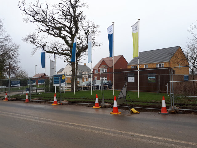
Ash Covert Images
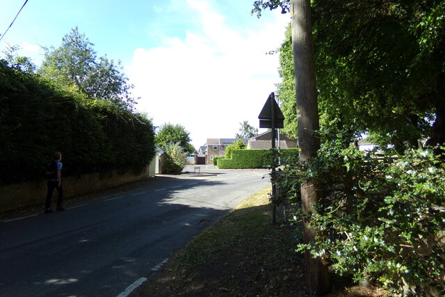
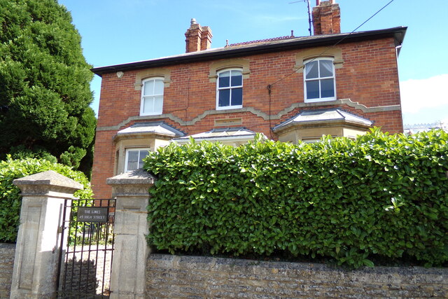
Images are sourced within 2km of 51.613614/-1.7640114 or Grid Reference SU1690. Thanks to Geograph Open Source API. All images are credited.
Ash Covert is located at Grid Ref: SU1690 (Lat: 51.613614, Lng: -1.7640114)
Unitary Authority: Swindon
Police Authority: Wiltshire
What 3 Words
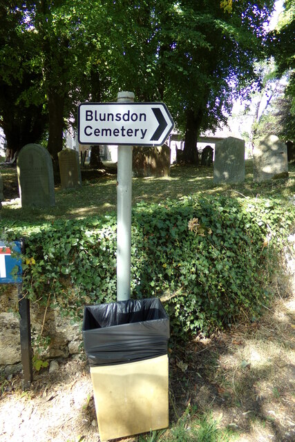
///strict.basically.torches. Near Broad Blunsdon, Wiltshire
Nearby Locations
Related Wikis

Stanton railway station
Stanton railway station served the village of Stanton Fitzwarren, in the historic county of Wiltshire, England, from 1883 to 1962 on the Highworth branch...

Stanton Fitzwarren
Stanton Fitzwarren is a village and civil parish 3 miles (4.8 km) north-east of Swindon, in Wiltshire, England. It is within the area of the unitary authority...
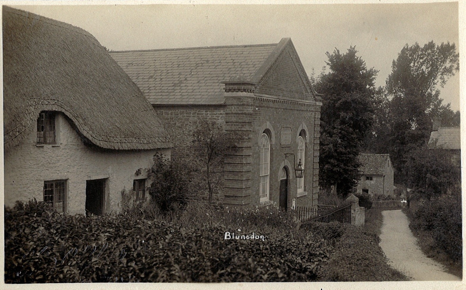
Blunsdon
Blunsdon is a civil parish in the Borough of Swindon, in Wiltshire, England, about 4 miles (6 km) north of the centre of Swindon, with the A419 forming...

Swindon Stadium
Swindon Stadium, also known as the Abbey Stadium, is a Greyhound Board of Great Britain regulated greyhound racing track and former speedway track in Blunsdon...

Hannington railway station
Hannington railway station is a former railway station near Hannington, in Wiltshire, England on the Highworth Branch Line from Swindon. The station was...

New College Swindon F.C.
New College Swindon Football Club was a football club based in Swindon, Wiltshire, England. Part of New College, Swindon, they played until the summer...
Kingsdown School
Kingsdown School is a mixed secondary school with academy status in Swindon, Wiltshire, England. In its February 2020 Ofsted report, it was rated 'Good...
Swindon Supermarine F.C.
Swindon Supermarine Football Club is a semi-professional football club based in South Marston, near Swindon, England. The club plays in the Southern League...
Nearby Amenities
Located within 500m of 51.613614,-1.7640114Have you been to Ash Covert?
Leave your review of Ash Covert below (or comments, questions and feedback).