Newmeadow Copse
Wood, Forest in Wiltshire
England
Newmeadow Copse
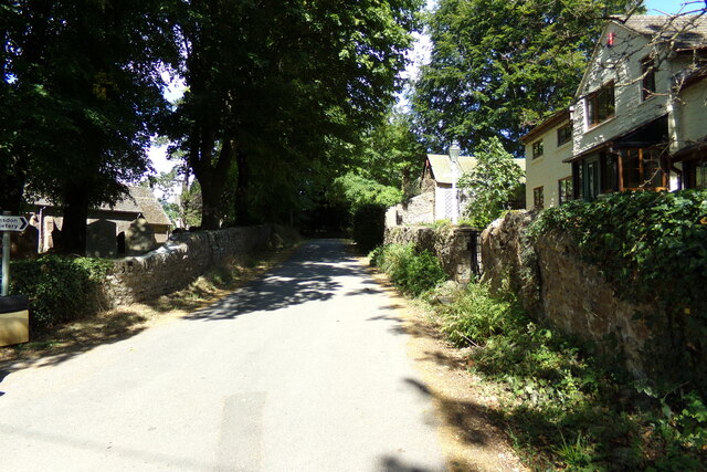
Newmeadow Copse is a picturesque woodland located in the county of Wiltshire, England. Covering an area of approximately 50 acres, this enchanting forest is a haven for nature enthusiasts and wildlife lovers alike.
The copse is predominantly comprised of native deciduous trees, such as oak, beech, and ash, which create a dense canopy overhead. The forest floor is blanketed with a lush carpet of ferns, bluebells, and wildflowers, adding to the area's natural beauty.
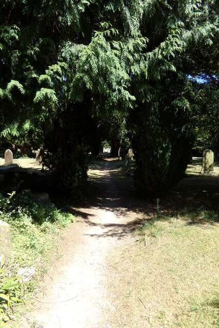
Traversing through the copse, visitors can explore a network of well-maintained walking trails that wind their way through the trees. These trails offer a peaceful and tranquil retreat, providing an opportunity to immerse oneself in the sights and sounds of nature.
The woodland is home to a diverse range of flora and fauna. Birdwatchers can spot a variety of species, including woodpeckers, owls, and thrushes, while small mammals like squirrels and hedgehogs can be seen scurrying through the undergrowth. In addition, the copse is known for its rich insect population, with butterflies, bees, and beetles flitting from flower to flower.
Newmeadow Copse is a popular destination for recreational activities such as picnicking, wildlife photography, and nature walks. It offers a serene and idyllic escape from the hustle and bustle of everyday life, providing a sanctuary for both visitors and the wildlife that call it home.
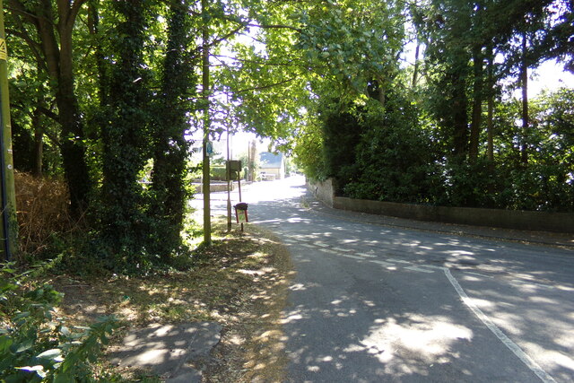
The copse is easily accessible, with a designated car park and well-marked trails for visitors to follow. It is important to note that while the copse is open to the public, it is essential to respect the natural environment and follow any guidelines or restrictions in place to ensure the preservation of this beautiful woodland for future generations to enjoy.
If you have any feedback on the listing, please let us know in the comments section below.
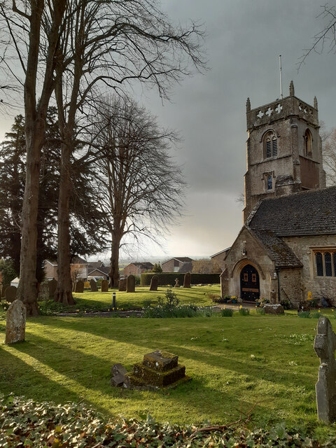
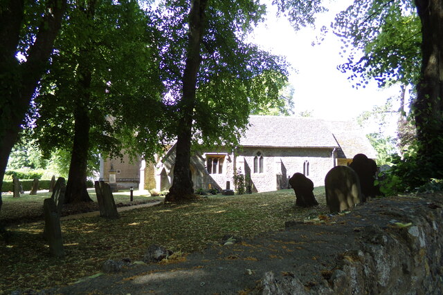
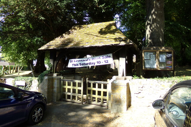
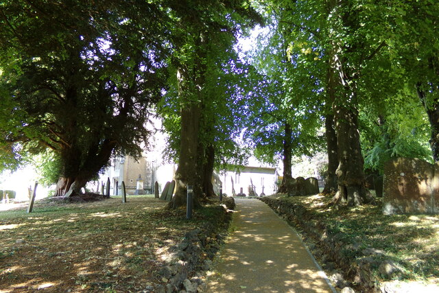
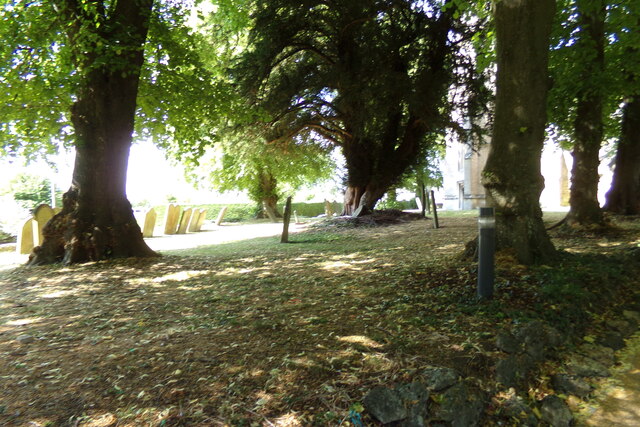
Newmeadow Copse Images
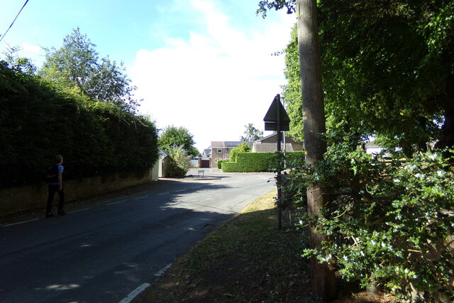
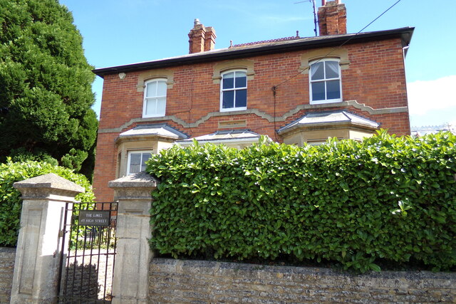
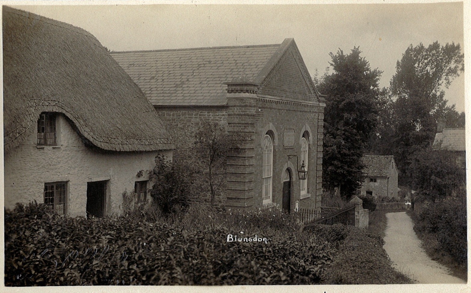
Images are sourced within 2km of 51.617447/-1.7654936 or Grid Reference SU1690. Thanks to Geograph Open Source API. All images are credited.
Newmeadow Copse is located at Grid Ref: SU1690 (Lat: 51.617447, Lng: -1.7654936)
Unitary Authority: Swindon
Police Authority: Wiltshire
What 3 Words
///sonic.sulked.insisting. Near Broad Blunsdon, Wiltshire
Nearby Locations
Related Wikis

Stanton railway station
Stanton railway station served the village of Stanton Fitzwarren, in the historic county of Wiltshire, England, from 1883 to 1962 on the Highworth branch...

Stanton Fitzwarren
Stanton Fitzwarren is a village and civil parish 3 miles (4.8 km) north-east of Swindon, in Wiltshire, England. It is within the area of the unitary authority...
Blunsdon
Blunsdon is a civil parish in the Borough of Swindon, in Wiltshire, England, about 4 miles (6 km) north of the centre of Swindon, with the A419 forming...

Hannington railway station
Hannington railway station is a former railway station near Hannington, in Wiltshire, England on the Highworth Branch Line from Swindon. The station was...

Swindon Stadium
Swindon Stadium, also known as the Abbey Stadium, is a Greyhound Board of Great Britain regulated greyhound racing track and former speedway track in Blunsdon...

Hannington, Wiltshire
Hannington is a village and civil parish in Wiltshire, England, about 2 miles (3.2 km) north-west of Highworth, within the Borough of Swindon. The parish...

New College Swindon F.C.
New College Swindon Football Club was a football club based in Swindon, Wiltshire, England. Part of New College, Swindon, they played until the summer...
Hannington Hall
Hannington Hall is a Grade II* listed country house in the village of Hannington, Wiltshire, England. The house was built in 1653 by the Freke family,...
Nearby Amenities
Located within 500m of 51.617447,-1.7654936Have you been to Newmeadow Copse?
Leave your review of Newmeadow Copse below (or comments, questions and feedback).