Owls' Copse
Wood, Forest in Wiltshire
England
Owls' Copse
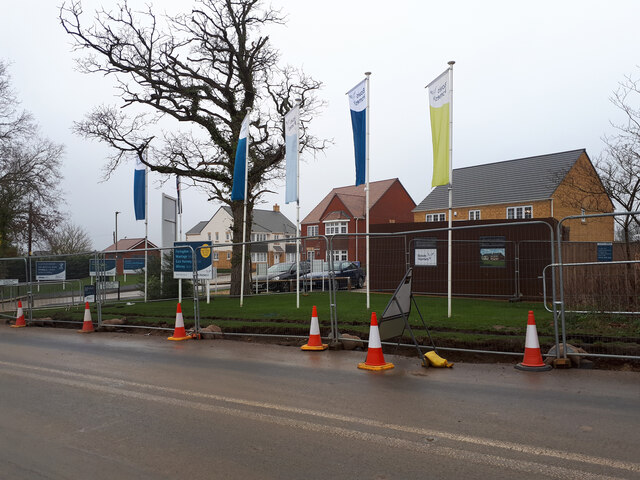
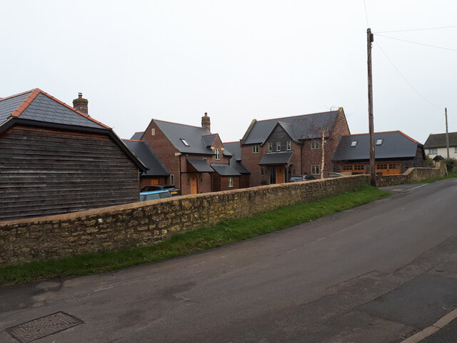
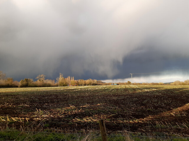
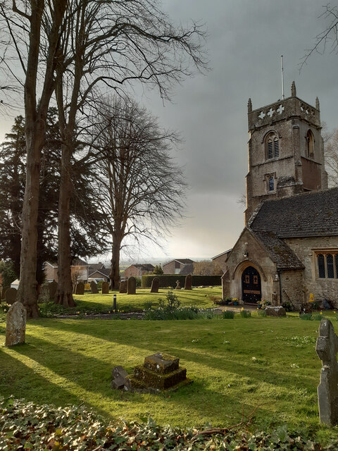
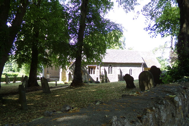
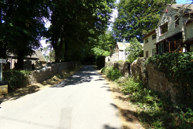
Owls' Copse is a picturesque wood located in the county of Wiltshire, England. Spread over an area of approximately 50 acres, it is situated near the village of Lacock and is renowned for its natural beauty and diverse wildlife.
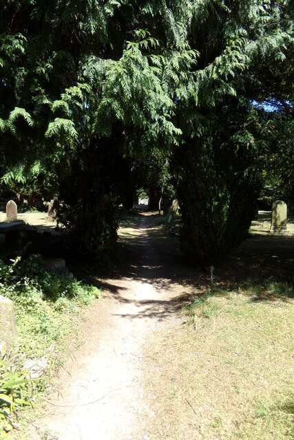
The copse is predominantly composed of native broadleaf trees, such as oak, ash, and beech, which create a dense canopy, providing a sheltered and tranquil environment. The forest floor is covered with a rich carpet of ferns, wildflowers, and moss, adding to the enchanting atmosphere of the woodland.
The copse is home to a variety of wildlife, including a resident population of owls, from which it derived its name. Barn owls, tawny owls, and little owls can often be spotted perched on branches or silently gliding through the canopy. Other bird species, such as woodpeckers, thrushes, and finches, can also be found here, making it a haven for birdwatchers.
In addition to its avian inhabitants, Owls' Copse is a haven for other animals too. Squirrels can be seen scurrying along the branches, while badgers, foxes, and deer have also been spotted in the surrounding area. The copse is also home to a diverse range of insects, including butterflies, bees, and beetles.
Visitors to Owls' Copse can enjoy the tranquility of the woodland by exploring the numerous walking trails that wind through the trees. The copse is also a popular spot for nature photography, with its stunning scenery and vibrant wildlife providing endless opportunities for capturing breathtaking images.
Overall, Owls' Copse is a treasured natural gem in Wiltshire, offering visitors a chance to immerse themselves in the beauty of nature and discover the wonders of the British countryside.
If you have any feedback on the listing, please let us know in the comments section below.
Owls' Copse Images
Images are sourced within 2km of 51.610732/-1.7613836 or Grid Reference SU1690. Thanks to Geograph Open Source API. All images are credited.
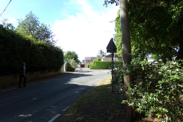
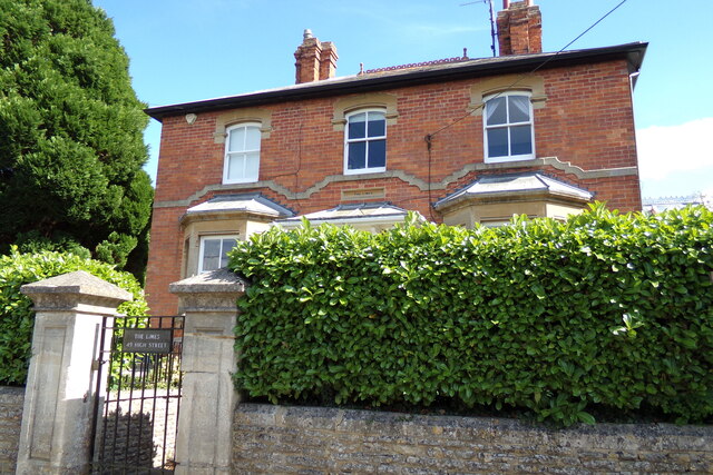
Owls' Copse is located at Grid Ref: SU1690 (Lat: 51.610732, Lng: -1.7613836)
Unitary Authority: Swindon
Police Authority: Wiltshire
What 3 Words
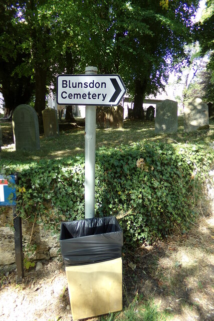
///cabinet.rosette.renewals. Near Broad Blunsdon, Wiltshire
Nearby Locations
Related Wikis

Stanton railway station
Stanton railway station served the village of Stanton Fitzwarren, in the historic county of Wiltshire, England, from 1883 to 1962 on the Highworth branch...

Stanton Fitzwarren
Stanton Fitzwarren is a village and civil parish 3 miles (4.8 km) north-east of Swindon, in Wiltshire, England. It is within the area of the unitary authority...
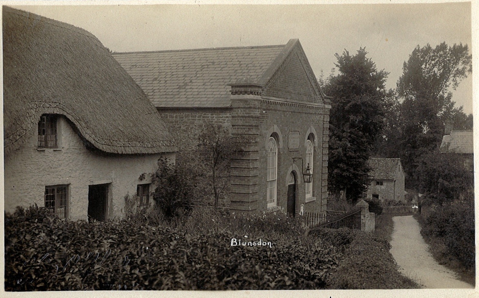
Blunsdon
Blunsdon is a civil parish in the Borough of Swindon, in Wiltshire, England, about 4 miles (6 km) north of the centre of Swindon, with the A419 forming...

New College Swindon F.C.
New College Swindon Football Club was a football club based in Swindon, Wiltshire, England. Part of New College, Swindon, they played until the summer...
Kingsdown School
Kingsdown School is a mixed secondary school with academy status in Swindon, Wiltshire, England. In its February 2020 Ofsted report, it was rated 'Good...

Swindon Stadium
Swindon Stadium, also known as the Abbey Stadium, is a Greyhound Board of Great Britain regulated greyhound racing track and former speedway track in Blunsdon...
Swindon Supermarine F.C.
Swindon Supermarine Football Club is a semi-professional football club based in South Marston, near Swindon, England. The club plays in the Southern League...

Hannington railway station
Hannington railway station is a former railway station near Hannington, in Wiltshire, England on the Highworth Branch Line from Swindon. The station was...
Have you been to Owls' Copse?
Leave your review of Owls' Copse below (or comments, questions and feedback).