Billy Bank Wood
Wood, Forest in Yorkshire Richmondshire
England
Billy Bank Wood
Billy Bank Wood is a picturesque woodland located in the county of Yorkshire, England. Situated near the town of Wood, this forested area spans over 100 acres, offering visitors a serene and tranquil environment to explore.
The wood is characterized by a diverse range of tree species, including oak, beech, birch, and pine, which create a vibrant and colorful landscape throughout the seasons. The forest floor is covered with a lush carpet of ferns, moss, and wildflowers, adding to the natural beauty of the area.
Billy Bank Wood is renowned for its rich biodiversity and serves as a habitat for numerous wildlife species. Visitors may spot a variety of birds, including woodpeckers, owls, and thrushes, as well as mammals like deer, foxes, and squirrels. The wood also supports a diverse range of insect life, with butterflies, bees, and beetles among the many species that call this forest home.
The woodland offers several walking trails, allowing visitors to explore its hidden treasures. These pathways wind through the trees, providing opportunities for nature enthusiasts to immerse themselves in the sights and sounds of the forest. Along the way, there are several benches and picnic spots, providing a welcome respite for those looking to relax and take in the natural surroundings.
Billy Bank Wood is not only a haven for nature lovers but also a valuable educational resource. Local schools often visit the wood for field trips, where students can learn about the woodland ecosystem, conservation efforts, and the importance of preserving natural habitats.
Overall, Billy Bank Wood is a captivating woodland that offers a peaceful retreat from the hustle and bustle of everyday life. Its natural beauty, rich biodiversity, and educational value make it a cherished destination for locals and visitors alike.
If you have any feedback on the listing, please let us know in the comments section below.
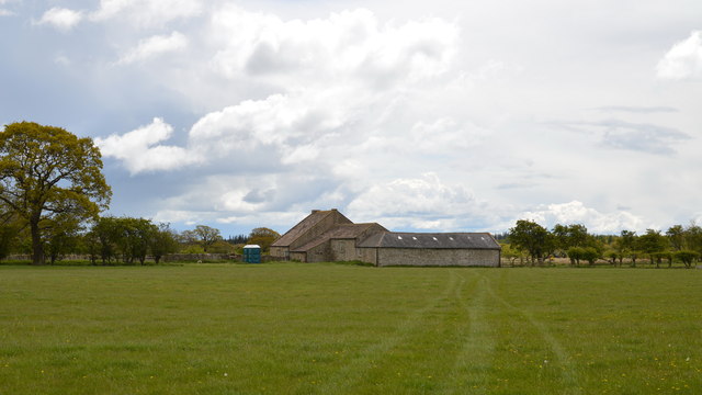
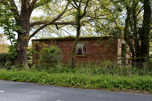
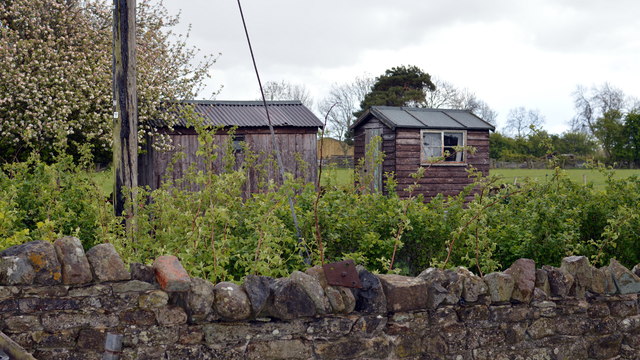
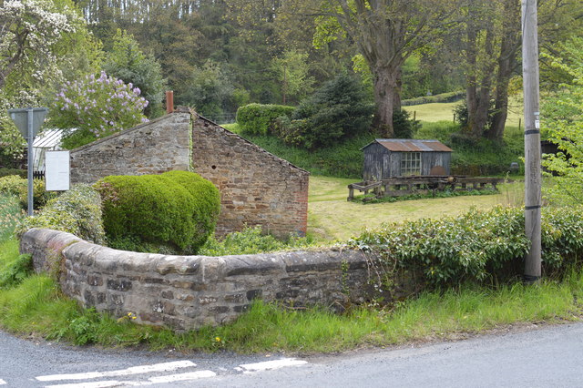
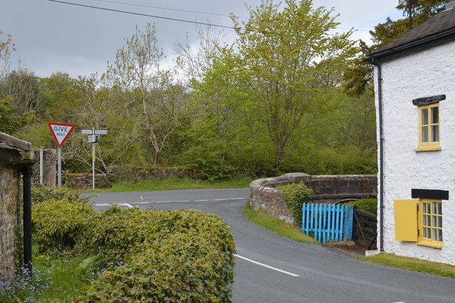
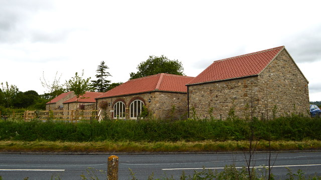
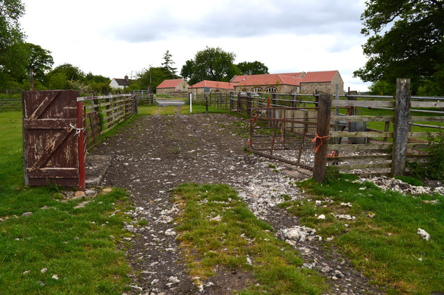
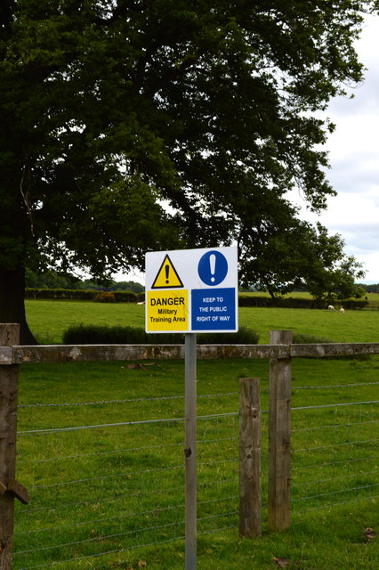
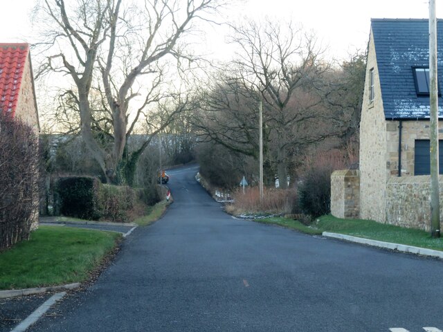
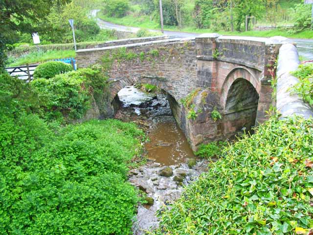
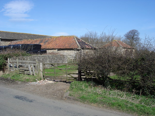
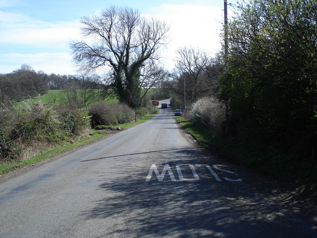
Billy Bank Wood Images
Images are sourced within 2km of 54.40048/-1.7483052 or Grid Reference NZ1600. Thanks to Geograph Open Source API. All images are credited.


Billy Bank Wood is located at Grid Ref: NZ1600 (Lat: 54.40048, Lng: -1.7483052)
Division: North Riding
Administrative County: North Yorkshire
District: Richmondshire
Police Authority: North Yorkshire
What 3 Words
///conductor.places.tailwind. Near Richmond, North Yorkshire
Nearby Locations
Related Wikis

St Joseph and St Francis Xavier Church
St Joseph and St Francis Xavier Church is a Roman Catholic Parish church in Richmond, North Yorkshire. It is situated between Newbiggin and Victoria Road...
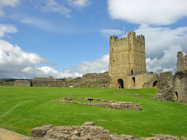
Richmond Castle
Richmond Castle in Richmond, North Yorkshire, England, stands in a commanding position above the River Swale, close to the centre of the town of Richmond...

Richmond Town Hall, North Yorkshire
Richmond Town Hall is a municipal building in the Market Place, Richmond, North Yorkshire, England. The structure, which is the meeting place of Richmond...

Georgian Theatre Royal
The Georgian Theatre Royal is a theatre and historic Georgian playhouse in the market town of Richmond, North Yorkshire, England. It is among the oldest...

Green Howards Regimental Museum
The Green Howards Regimental Museum is the museum of the Green Howards infantry regiment of the British Army. It is located in the old Trinity Church in...

Richmond, North Yorkshire
Richmond is a market town and civil parish in the district and county of North Yorkshire, England. It is in the Swaledale valley, near the River Swale...

Greyfriars, Richmond
Greyfriars, Richmond was a friary in North Yorkshire, England. Its bell tower still survives and dates from the 15th century. Its establishment as a friary...
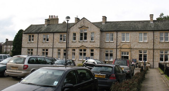
Friary Community Hospital
The Friary Community Hospital is a health facility in Queen's Road, Richmond, North Yorkshire, England. It is managed by South Tees Hospitals NHS Foundation...
Nearby Amenities
Located within 500m of 54.40048,-1.7483052Have you been to Billy Bank Wood?
Leave your review of Billy Bank Wood below (or comments, questions and feedback).