Carr Wood
Wood, Forest in Yorkshire Harrogate
England
Carr Wood
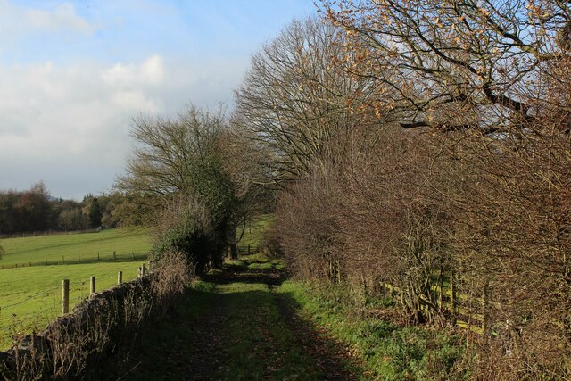
Carr Wood is a picturesque forest located in the county of Yorkshire, England. Situated near the village of Wood, this woodland area spans over a vast expanse of approximately 500 acres. It is a popular destination for nature enthusiasts, hikers, and wildlife lovers.
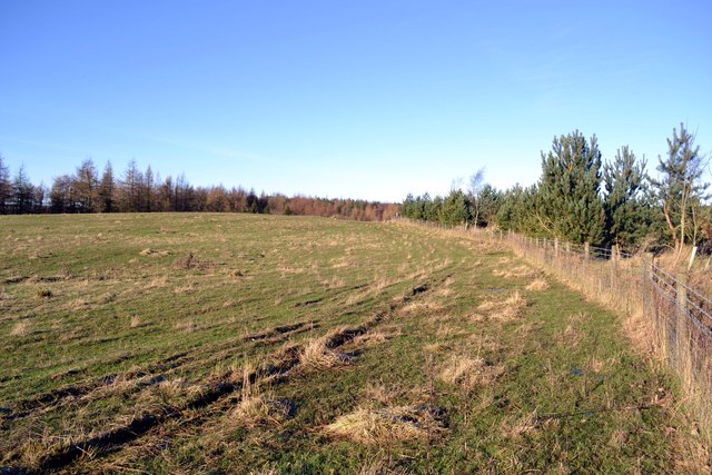
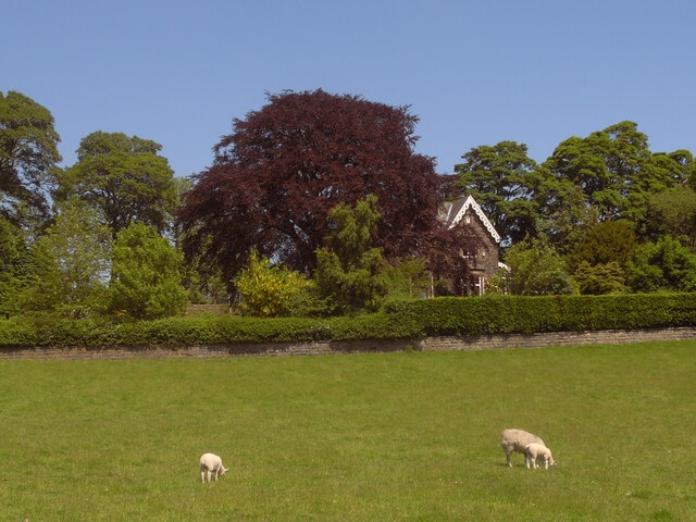
The wood boasts a diverse range of tree species, including oak, beech, birch, and pine. The canopy formed by these majestic trees creates a serene and tranquil atmosphere, making it an ideal spot for relaxation and contemplation. The forest floor is covered in a thick carpet of moss, ferns, and wildflowers, adding to the beauty of the surroundings.
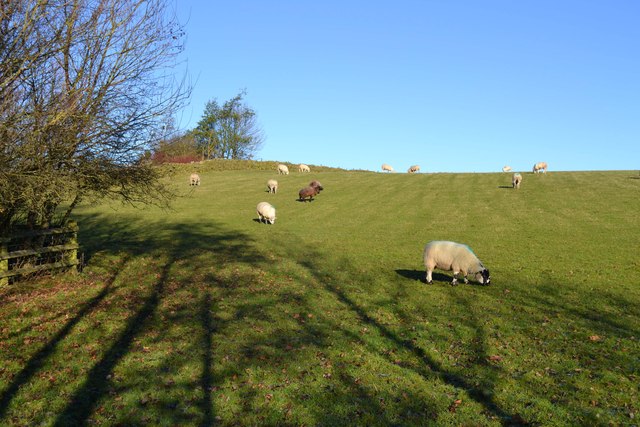
Carr Wood is home to a variety of wildlife, making it a haven for animal lovers and birdwatchers. Visitors may encounter deer, foxes, badgers, and a plethora of bird species, including owls, woodpeckers, and thrushes. The woodland provides a natural habitat for these creatures, ensuring their preservation and conservation.
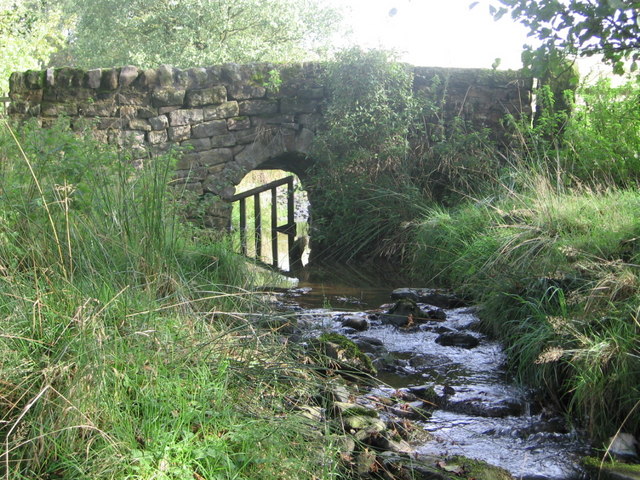
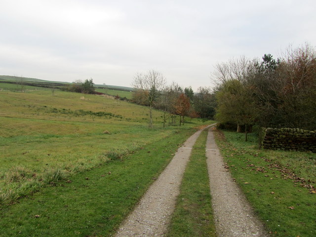
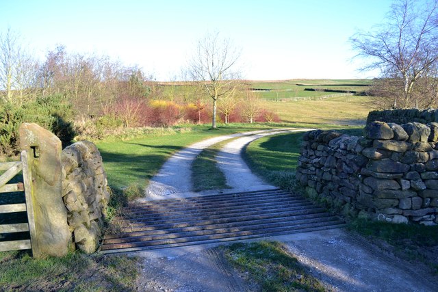
Several walking trails wind through Carr Wood, offering visitors the opportunity to explore its natural wonders. As they meander through the forest, visitors may stumble upon secluded glades, babbling brooks, and hidden ponds. The trails are well-maintained and suitable for all levels of fitness, making it accessible to individuals of all ages.
Carr Wood is not only a place of natural beauty but also holds historical significance. It is believed that the ancient Britons inhabited this area, leaving behind remnants of their settlements and burial grounds. Archaeologists have discovered artifacts and ancient structures within the woodland, providing a glimpse into the rich history of the region.
Overall, Carr Wood is a treasured gem in Yorkshire, offering visitors a chance to immerse themselves in the beauty of nature while exploring its rich history and abundant wildlife.
If you have any feedback on the listing, please let us know in the comments section below.
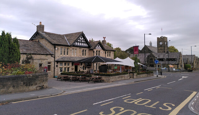
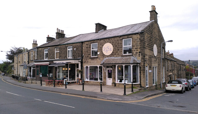
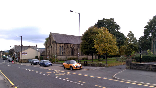
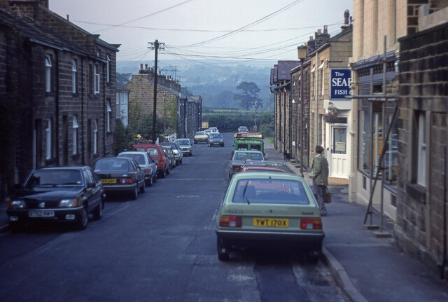
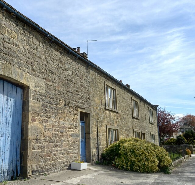
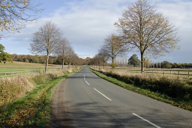
Carr Wood Images
Images are sourced within 2km of 53.92995/-1.7605995 or Grid Reference SE1548. Thanks to Geograph Open Source API. All images are credited.

Carr Wood is located at Grid Ref: SE1548 (Lat: 53.92995, Lng: -1.7605995)
Division: West Riding
Administrative County: North Yorkshire
District: Harrogate
Police Authority: North Yorkshire
What 3 Words
///hound.scarred.lawn. Near Burley in Wharfedale, West Yorkshire
Nearby Locations
Related Wikis

Askwith
Askwith is a village and civil parish in North Yorkshire, England, with a population of 220 (2001 census), increasing to 240 at the 2011 Census. The village...

Denton Hall, Wharfedale
Denton Hall is an English country house located to the north of the River Wharfe, at Denton, Borough of Harrogate, North Yorkshire, England between Otley...
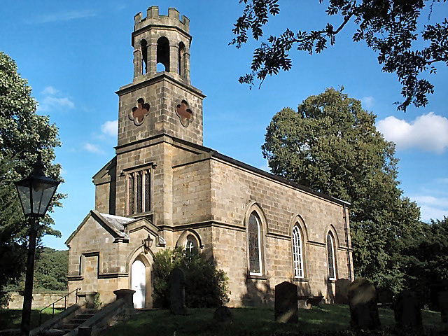
Church of St Helen, Denton
The Church of St Helen, Denton is a parish church in the hamlet of Denton, near Otley, in North Yorkshire, England. The church was built in 1776 by the...

Denton, North Yorkshire
Denton is a hamlet and civil parish in the Harrogate district of North Yorkshire, England. At the 2011 Census the population of this civil parish was less...

Ilkley Town A.F.C.
Ilkley Town Association Football Club is a football club based in Ilkley, England. They are currently members of the North West Counties League Division...

Burley in Wharfedale
Burley in Wharfedale is a village and civil parish in West Yorkshire, England, in the Wharfedale valley. In 2011, it had a population of 7,041. The village...
Yorkshire Heritage Way
The Yorkshire Heritage Way is a 42-mile (68 km) footpath in northern England. It links the contrasting cities of Bradford in West Yorkshire and Ripon in...
Weston, North Yorkshire
Weston is a village and civil parish in the former Harrogate district of North Yorkshire, England. The village is 1.2 miles (2 km) north–west of Otley...
Nearby Amenities
Located within 500m of 53.92995,-1.7605995Have you been to Carr Wood?
Leave your review of Carr Wood below (or comments, questions and feedback).