King's Copse
Wood, Forest in Hampshire New Forest
England
King's Copse
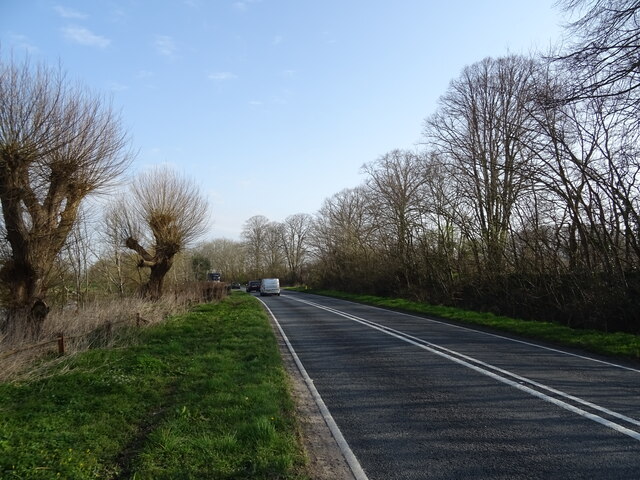
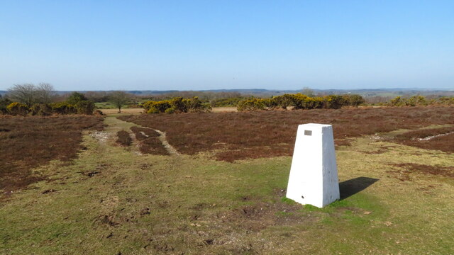
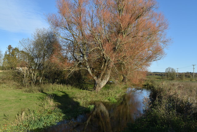
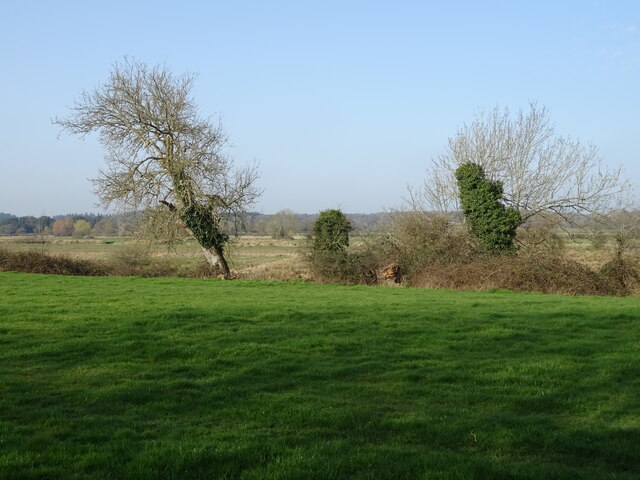
King's Copse is a picturesque woodland located in Hampshire, England. Spanning over an area of approximately 100 acres, it is a popular destination for nature enthusiasts and locals seeking tranquility in a natural setting. The copse is characterized by a dense and diverse assortment of trees, including oak, beech, and birch, which create a rich and varied ecosystem.
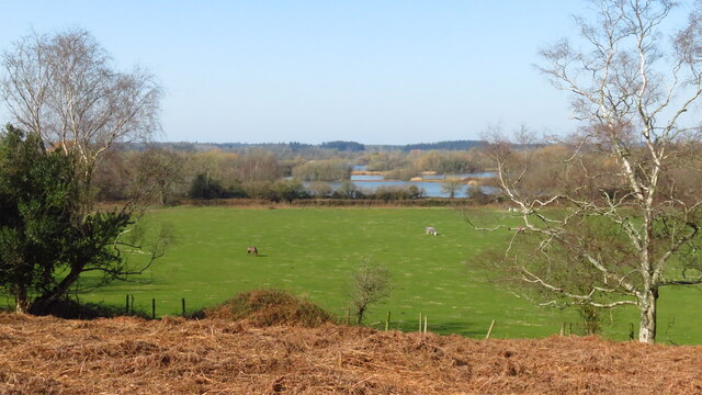
The forest floor is carpeted with a vibrant array of wildflowers, mosses, and ferns, adding to the copse's enchanting beauty. This lush undergrowth provides a sanctuary for numerous species of birds, small mammals, and insects, making it a haven for wildlife. Visitors can often spot squirrels darting through the canopy or hear the melodic songs of various bird species.
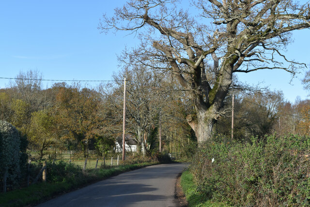
The copse is crisscrossed by well-maintained footpaths and trails, allowing visitors to explore its natural wonders at their own pace. These paths lead to secluded clearings and serene ponds, offering opportunities for peaceful picnics or quiet contemplation. Additionally, the copse is home to a variety of fungi, making it an ideal spot for mushroom foragers and nature photographers.
Throughout the year, King's Copse showcases the beauty of each season. In spring, the woodland bursts into life with a riot of colors as the trees and flowers bloom. Summer brings a canopy of lush green leaves, providing shade and shelter from the sun. Autumn transforms the copse into a kaleidoscope of reds, yellows, and oranges as the leaves change, creating a breathtaking spectacle. And in winter, the copse takes on a serene and peaceful ambiance, with frost-covered branches and a sense of quiet stillness.
Overall, King's Copse in Hampshire offers a captivating and enchanting experience for anyone seeking a connection with nature and a peaceful retreat from the hustle and bustle of daily life.
If you have any feedback on the listing, please let us know in the comments section below.
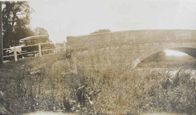
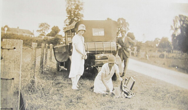
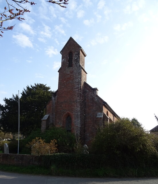
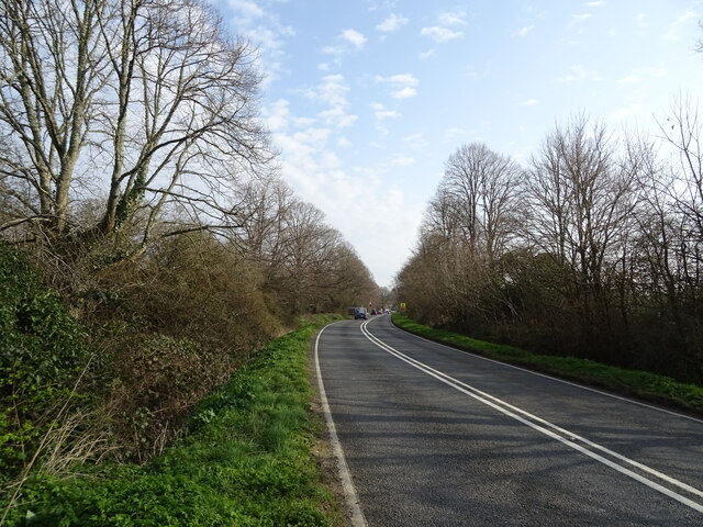
King's Copse Images
Images are sourced within 2km of 50.897024/-1.7765488 or Grid Reference SU1510. Thanks to Geograph Open Source API. All images are credited.

King's Copse is located at Grid Ref: SU1510 (Lat: 50.897024, Lng: -1.7765488)
Administrative County: Hampshire
District: New Forest
Police Authority: Hampshire
What 3 Words
///ironic.tinkle.contoured. Near Fordingbridge, Hampshire
Nearby Locations
Related Wikis

North Gorley
North Gorley is a hamlet in the New Forest National Park of Hampshire, England. Its nearest town is Fordingbridge, which lies approximately 2 miles (3...

Latchmore Brook
The Latchmore Brook is a significant stream in the New Forest, Hampshire, England. It rises from the elevated gravel plateaus in the north of the Forest...

Gorley Hill
Gorley Hill is the site of a former Iron Age promontory hillfort located in Hampshire in the United Kingdom. The fort once occupied the southwestern corner...

South Gorley
South Gorley is a hamlet in the New Forest National Park of Hampshire, England. It is in the civil parish of Ellingham, Harbridge and Ibsley. Its nearest...

Ringwood and Fordingbridge Rural District
Ringwood and Fordingbridge was a rural district in Hampshire from 1932 to 1974.It was formed by the merger of part of the disbanded Christchurch Rural...
Mockbeggar, Hampshire
Mockbeggar is a hamlet in the New Forest National Park of Hampshire, England. Its nearest town is Ringwood, which lies approximately 3 miles (5.6 km) south...

Furze Hill
Furze Hill (or Furzehill) is a hamlet situated in the New Forest National Park of Hampshire, England. It is in the civil parish of Ellingham, Harbridge...

Harbridge
Harbridge is a small village and former civil parish, now in the parish of Ellingham, Harbridge and Ibsley, in the New Forest district, in the county of...
Related Videos
![NEW FOREST WALK at HYDE, FROGHAM & NORTH GORLEY (NEW FOREST NATIONAL PARK) [4K]](https://i.ytimg.com/vi/0oG4pMhgKt0/hqdefault.jpg)
NEW FOREST WALK at HYDE, FROGHAM & NORTH GORLEY (NEW FOREST NATIONAL PARK) [4K]
This is another video in my series “New Forest Walks” accompanied by my Whippet (Logan). In this episode, I visit the parish of ...


Rockford Common, The New Forest | Nature Diaries
Hi Conservation Crew and welcome to another episode of Nature Diaries. Our mini-break in the New Forest continues as we ...

New Forest Water Park Fordingbridge MAY 2021
Fantastic place for a family day out near Fordingbridge in Hampshire. New Forest Water Park is a friendly family run business ...
Nearby Amenities
Located within 500m of 50.897024,-1.7765488Have you been to King's Copse?
Leave your review of King's Copse below (or comments, questions and feedback).