Banktop Plantation
Wood, Forest in Derbyshire High Peak
England
Banktop Plantation

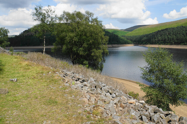
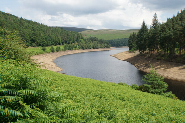
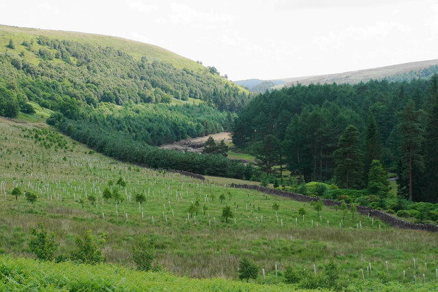
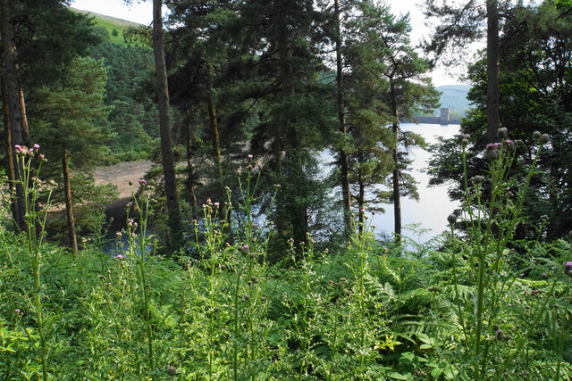
Banktop Plantation is a dense woodland located in Derbyshire, England. Covering an area of approximately 100 acres, it is situated on a steep hillside, providing stunning views of the surrounding countryside. The plantation primarily consists of a mixture of deciduous and coniferous trees, creating a diverse and vibrant ecosystem.
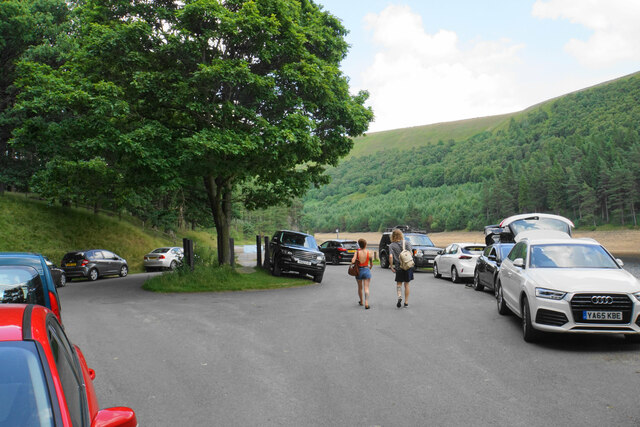
The woodland is home to a variety of wildlife species, including deer, squirrels, rabbits, and numerous bird species. It offers a peaceful and tranquil environment, making it a popular destination for nature enthusiasts and hikers. The well-maintained trails throughout the plantation provide easy access for visitors to explore and enjoy the natural beauty of the area.
Banktop Plantation is managed by the local forestry commission, ensuring the preservation and conservation of the woodland. The trees are regularly maintained and monitored to promote healthy growth and prevent the spread of diseases. Sustainable logging practices are also implemented to maintain the balance of the ecosystem.
The plantation offers recreational activities such as picnicking, wildlife watching, and photography. During the spring and summer months, the woodland is adorned with colorful wildflowers and provides a habitat for a variety of butterflies and insects. Additionally, the autumn season brings a vibrant display of foliage, attracting visitors from near and far to witness the breathtaking scenery.
Overall, Banktop Plantation in Derbyshire is a remarkable woodland that showcases the beauty of nature and provides a haven for wildlife and outdoor enthusiasts alike.
If you have any feedback on the listing, please let us know in the comments section below.
Banktop Plantation Images
Images are sourced within 2km of 53.435014/-1.7635073 or Grid Reference SK1593. Thanks to Geograph Open Source API. All images are credited.


Banktop Plantation is located at Grid Ref: SK1593 (Lat: 53.435014, Lng: -1.7635073)
Administrative County: Derbyshire
District: High Peak
Police Authority: Derbyshire
What 3 Words
///automatic.sprouted.trifling. Near High Peak, Derbyshire
Nearby Locations
Related Wikis

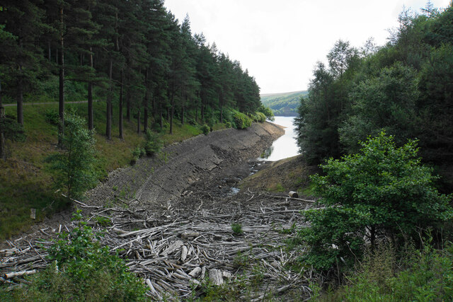
Howden Reservoir
The Howden Reservoir is a Y-shaped reservoir, the uppermost of the three in the Upper Derwent Valley, England. The western half of the reservoir lies in...

River Westend
The River Westend flows through the Dark Peak of the Derbyshire Peak District in England. Its source is at Bleaklow Stones on Bleaklow, from where it...

Alport Castles
The Alport Castles are a landslip feature in the Peak District National Park in Derbyshire. At over half a mile long, it is thought to be the largest landslide...

Derwent Reservoir (Derbyshire)
Derwent Reservoir is the middle of three reservoirs in the Upper Derwent Valley in the north of Derbyshire, England. It lies approximately 10 mi (16 km...

Howden Edge
Howden Edge (grid reference SK187943) is a peak in the north-east of the Upper Derwent Valley area of the Peak District National Park in England. At 545...

High Stones
High Stones, at 548 metres (1,798 ft), is the highest point within the boundaries of both the City of Sheffield and South Yorkshire, England.High Stones...

River Alport
The River Alport flows for 5.6 miles (9 km) in the Dark Peak of the Peak District in Derbyshire, England. Its source is on Bleaklow, 3 miles (4.8 km)...

Margery Hill
Margery Hill is a 546-metre (1,791 ft) hill on the Howden Moors in South Yorkshire, England. It lies towards the northern boundary of the Peak District...
Related Videos

Royal oak tree - slippery stones circular
right well here we are cack after two months of not getting out to our favorite place, the great outdoors, but this year i plan on ...

Derwent Reservoir, Ladybower Hope Valley 4k Dog Walking Hiking video with Springier Spaniel Toby
Derwent Reservoir, Ladybower Hope Valley 4k Dog Walking Hiking video with Springier Spaniel Toby Peak district Relaxing dog ...
Derwent Reservoir Walking Clip
Derwent Reservoir relaxing walking Clip ( Dambusters ) Created by Levon Peacock Full walking video ...
Nearby Amenities
Located within 500m of 53.435014,-1.7635073Have you been to Banktop Plantation?
Leave your review of Banktop Plantation below (or comments, questions and feedback).