John Roe's Covert
Wood, Forest in Derbyshire Derbyshire Dales
England
John Roe's Covert
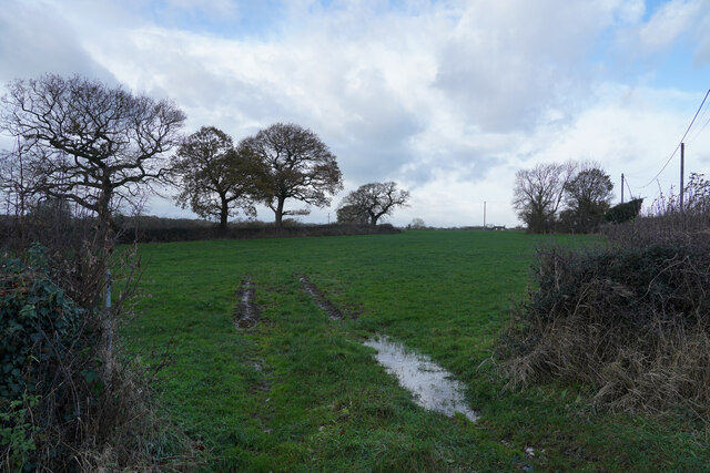
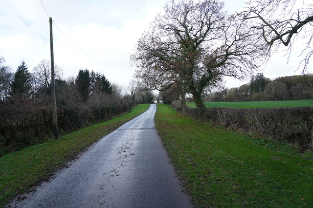
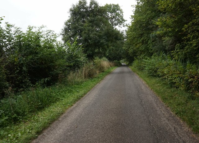
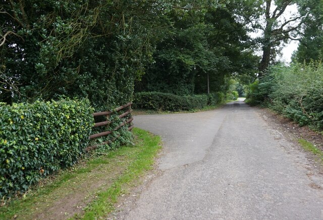
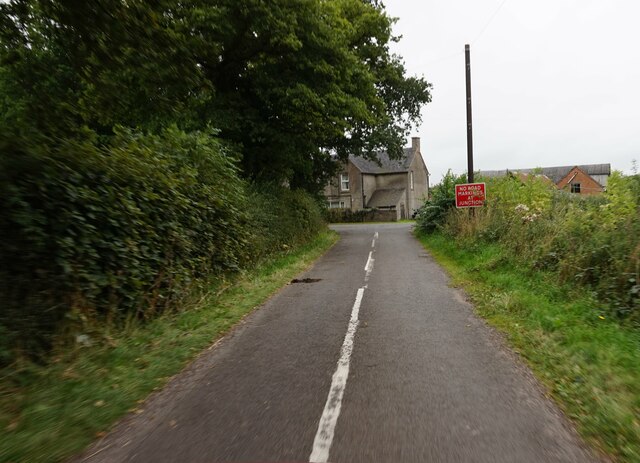
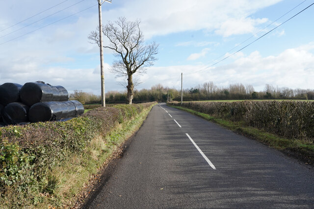
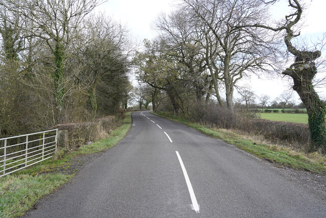
John Roe's Covert is a picturesque woodland area located in Derbyshire, England. Situated within the larger region of the Derbyshire Dales, this woodland is renowned for its natural beauty and abundant wildlife. The covert covers a vast area, encompassing dense forest and sprawling woodlands, making it a perfect destination for nature enthusiasts and outdoor adventurers alike.
The woodland is characterized by its diverse range of tree species, including oak, beech, and birch. The dense canopy created by these towering trees provides shelter and habitat for a wide variety of wildlife, such as deer, foxes, badgers, and numerous bird species. Walking through the woodland, visitors can witness the enchanting sight of sunlight filtering through the leaves, casting dappled shadows on the forest floor.
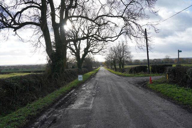
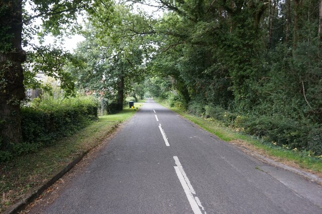
Tranquil pathways wind their way through John Roe's Covert, allowing visitors to explore the woods and enjoy the peace and serenity it offers. The gentle rustling of leaves underfoot and the melodic sounds of birdsong create a soothing ambiance, providing a respite from the busyness of everyday life.
The woodland is a popular destination for outdoor activities, including hiking, birdwatching, and photography. Nature enthusiasts can immerse themselves in the tranquil surroundings and capture stunning images of the diverse flora and fauna that call John Roe's Covert their home.
Overall, John Roe's Covert is a hidden gem in Derbyshire, offering a sanctuary for both nature lovers and those seeking a peaceful retreat. With its rich biodiversity and natural splendor, it is a place where visitors can connect with nature and experience the beauty of the British countryside.
If you have any feedback on the listing, please let us know in the comments section below.
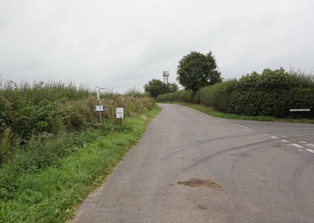
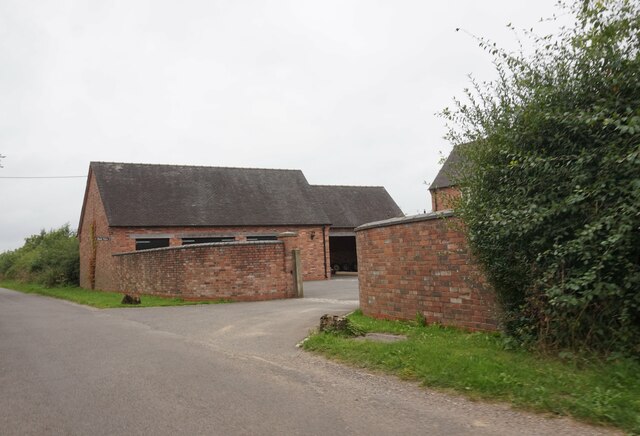
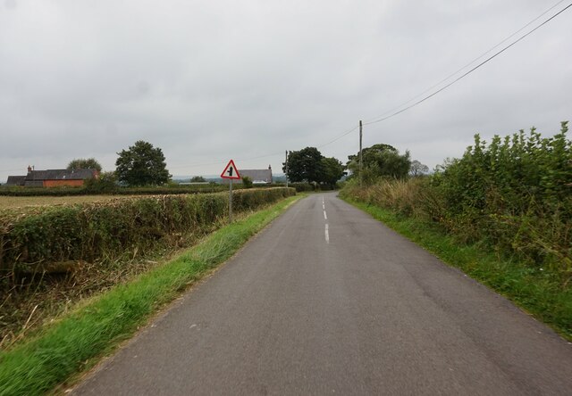
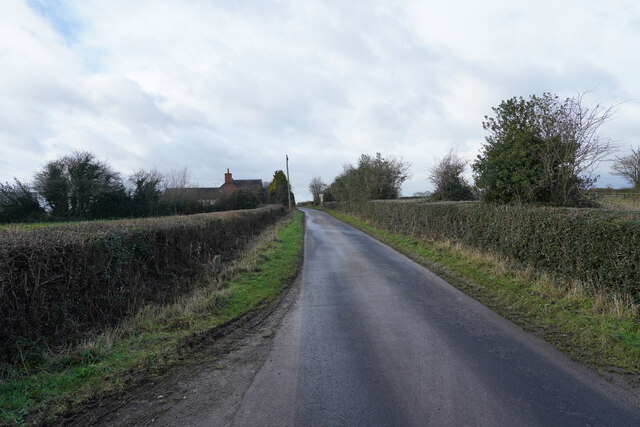
John Roe's Covert Images
Images are sourced within 2km of 52.968325/-1.765851 or Grid Reference SK1541. Thanks to Geograph Open Source API. All images are credited.


John Roe's Covert is located at Grid Ref: SK1541 (Lat: 52.968325, Lng: -1.765851)
Administrative County: Derbyshire
District: Derbyshire Dales
Police Authority: Derbyshire
What 3 Words
///rolled.rides.able. Near Mayfield, Staffordshire
Nearby Locations
Related Wikis

Anacrehill
Anacrehill is an area of Snelston parish, to the south of the village. The area contains a small number of cottages and farmhouses located on Virginsalley...
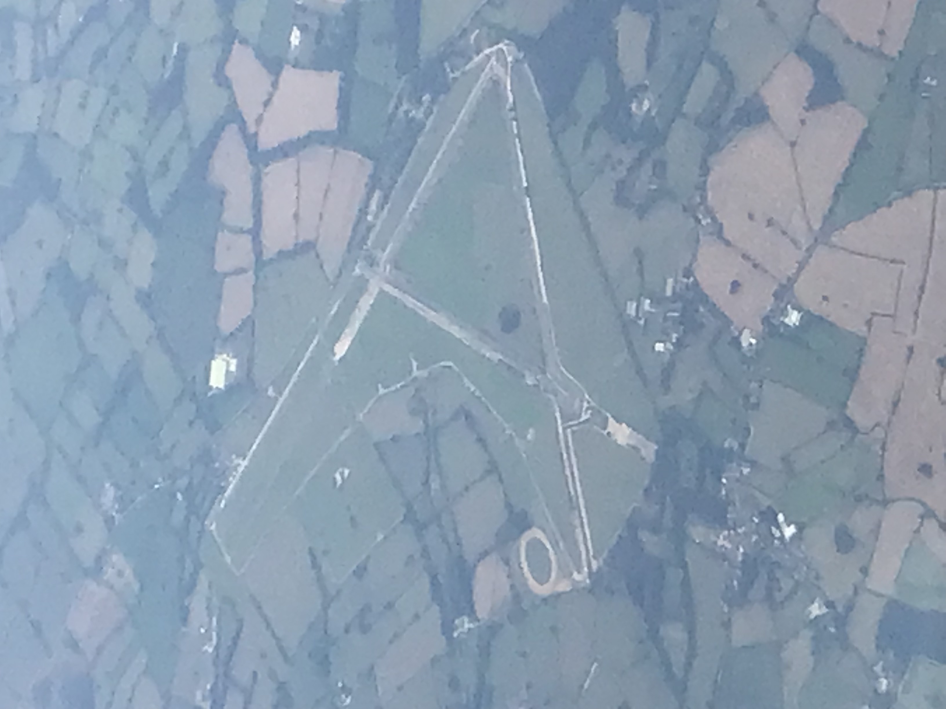
Darley Moor Airfield
Darley Moor Airfield and Road Race Circuit is situated on a high plateau adjacent to the A515, two miles south of Ashbourne, Derbyshire, England. The airfield...

Stydd Hall
Stydd Hall (Castle) is a country house located near to the village of Yeaveley, Derbyshire, 15 miles (24 km) west of Derby, close to the A515 between Wyaston...

Yeaveley Preceptory
Yeaveley Preceptory, also known as Stydd Preceptory, was a preceptory of the Knights Hospitaller, near the village of Yeaveley, in Derbyshire, England...

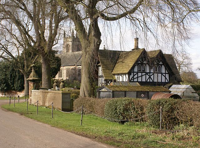
St Peter's Church, Snelston
St Peter's Church, Snelston is a Grade II* listed parish church in the Church of England: 319 in Snelston, Derbyshire. == History == The church dates...

Roston
Roston is a hamlet in Derbyshire, England. It is located north of Rocester. The Roston Inn (known locally as 'The Shant') is at the junction of Mill Lane...
Snelston
Snelston is a village and civil parish three miles south-west of Ashbourne in Derbyshire, England. It includes Anacrehill. The population of the civil...
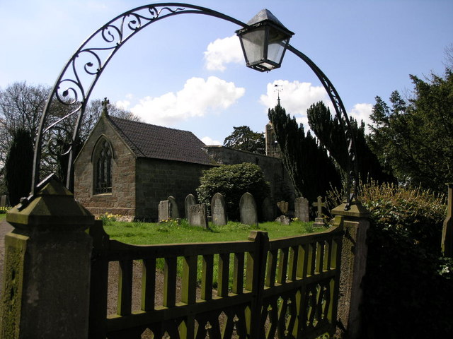
St James' Church, Edlaston
St James’ Church, Edlaston is a Grade II* listed parish church in the Church of England: 207 in Edlaston, Derbyshire. == History == The church dates from...
Nearby Amenities
Located within 500m of 52.968325,-1.765851Have you been to John Roe's Covert?
Leave your review of John Roe's Covert below (or comments, questions and feedback).