East Wood
Wood, Forest in Yorkshire Harrogate
England
East Wood
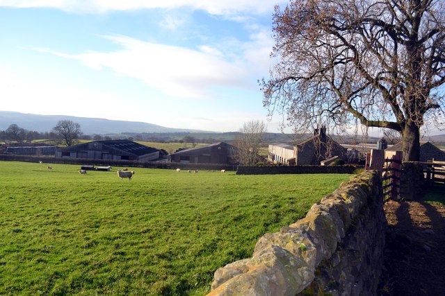
East Wood is a quaint village located in the county of Yorkshire, England. Nestled amidst picturesque landscapes, it is known for its lush woodlands and serene atmosphere. The village is situated in the eastern part of the county, hence the name East Wood.
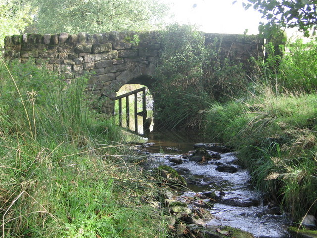
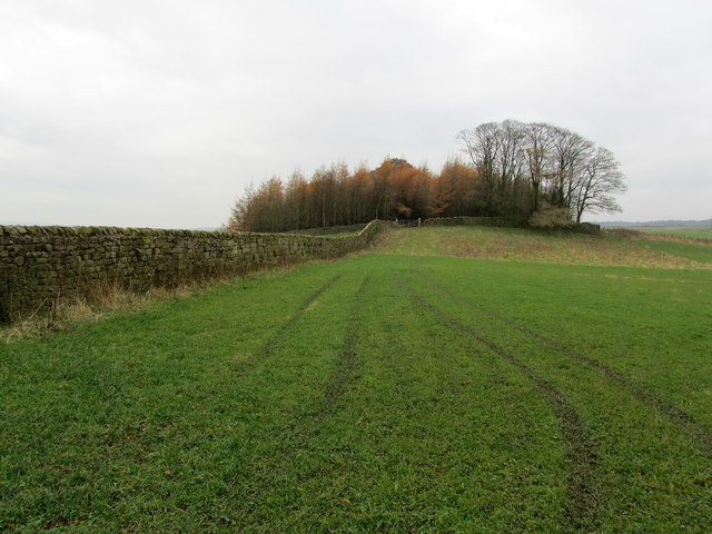
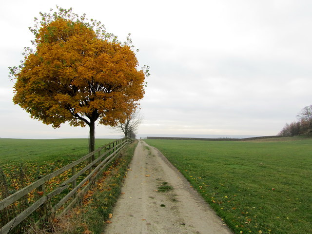
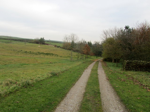
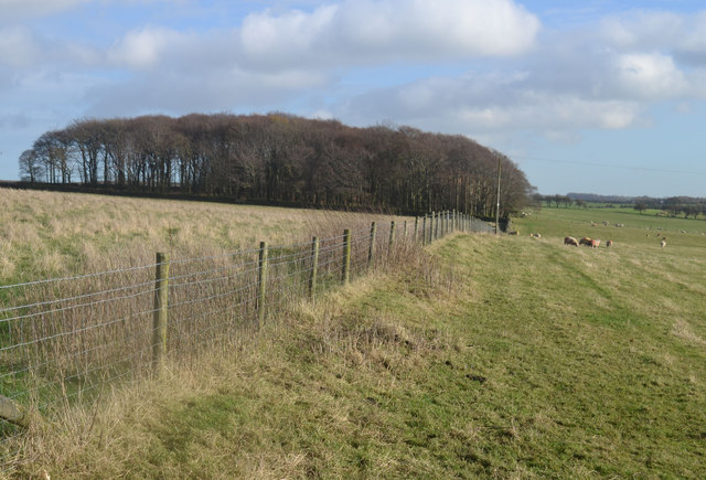
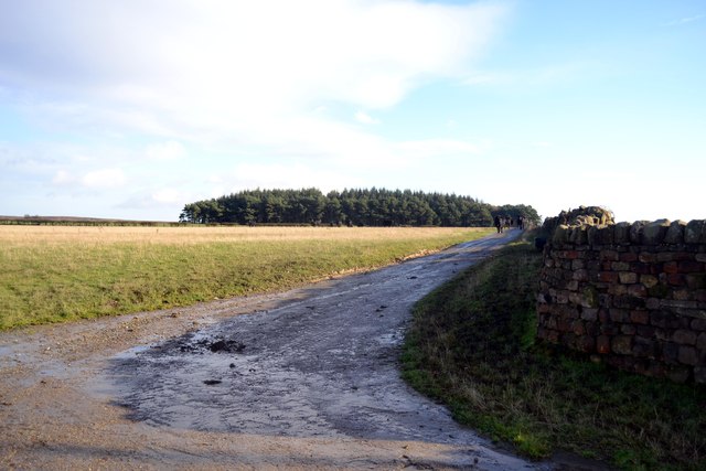
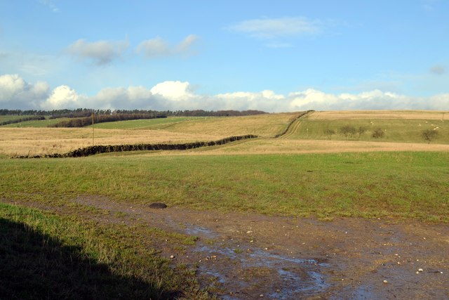
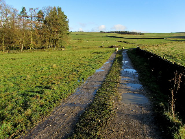
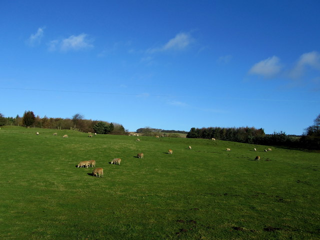
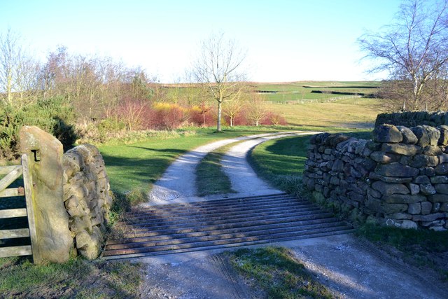
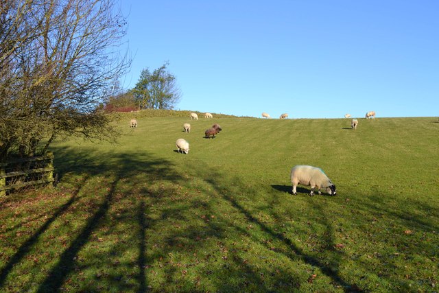
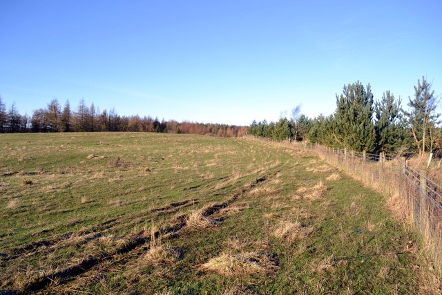
The highlight of East Wood is its expansive forest, which covers a significant portion of the village. The forest is home to a diverse range of flora and fauna, making it a popular destination for nature enthusiasts and hikers. The towering trees and well-maintained trails offer a peaceful and refreshing experience for visitors.
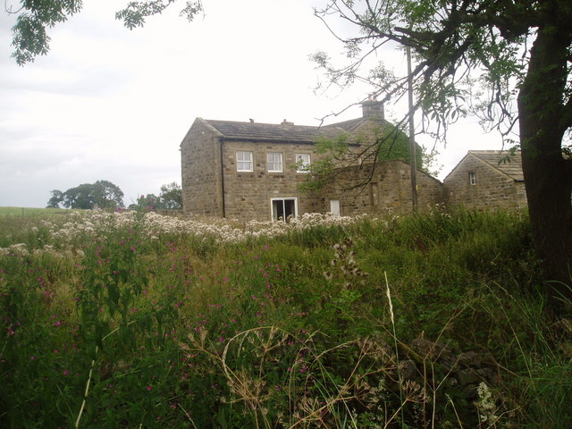
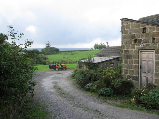
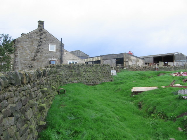
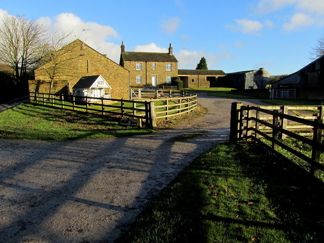
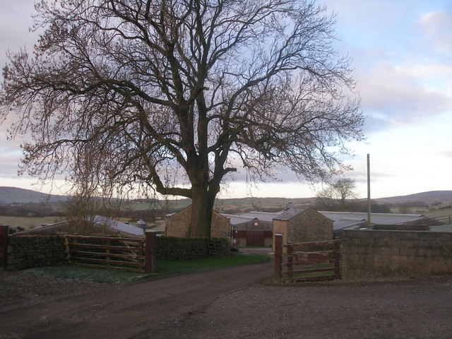
The village itself exudes a rustic charm, with its traditional stone cottages and well-preserved historical buildings. The local community takes great pride in maintaining the village's heritage, ensuring that it remains a delightful sight for residents and tourists alike.
East Wood is also known for its warm and welcoming community. The villagers are friendly and accommodating, often organizing community events and festivities that bring everyone together. The village pub, the heart of the community, serves as a gathering spot for locals and visitors to enjoy good food, drinks, and lively conversations.
With its idyllic setting and tranquil ambiance, East Wood offers an escape from the hustle and bustle of city life. Whether it's exploring the forest, immersing oneself in the village's rich history, or simply enjoying the serenity of the surroundings, East Wood promises a memorable experience for all who visit.
If you have any feedback on the listing, please let us know in the comments section below.
East Wood Images
Images are sourced within 2km of 53.935051/-1.7723443 or Grid Reference SE1548. Thanks to Geograph Open Source API. All images are credited.
East Wood is located at Grid Ref: SE1548 (Lat: 53.935051, Lng: -1.7723443)
Division: West Riding
Administrative County: North Yorkshire
District: Harrogate
Police Authority: North Yorkshire
What 3 Words
///gamer.otherwise.crimson. Near Burley in Wharfedale, West Yorkshire
Nearby Locations
Related Wikis

Denton Hall, Wharfedale
Denton Hall is an English country house located to the north of the River Wharfe, at Denton, Borough of Harrogate, North Yorkshire, England between Otley...
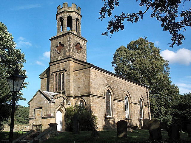
Church of St Helen, Denton
The Church of St Helen, Denton is a parish church in the hamlet of Denton, near Otley, in North Yorkshire, England. The church was built in 1776 by the...

Denton, North Yorkshire
Denton is a hamlet and civil parish in the Harrogate district of North Yorkshire, England. At the 2011 Census the population of this civil parish was less...

Ilkley Town A.F.C.
Ilkley Town Association Football Club is a football club based in Ilkley, England. They are currently members of the North West Counties League Division...
Yorkshire Heritage Way
The Yorkshire Heritage Way is a 42-mile (68 km) footpath in northern England. It links the contrasting cities of Bradford in West Yorkshire and Ripon in...

Askwith
Askwith is a village and civil parish in North Yorkshire, England, with a population of 220 (2001 census), increasing to 240 at the 2011 Census. The village...

Ben Rhydding railway station
Ben Rhydding railway station serves the Ben Rhydding area of Ilkley, West Yorkshire; it is situated about a mile east of the town centre. It is on the...

Ben Rhydding
Ben Rhydding is a village in the City of Bradford, West Yorkshire, England. It is part of the Ilkley urban area and civil parish. The village is situated...
Nearby Amenities
Located within 500m of 53.935051,-1.7723443Have you been to East Wood?
Leave your review of East Wood below (or comments, questions and feedback).