Four Acre Wood
Wood, Forest in Durham
England
Four Acre Wood
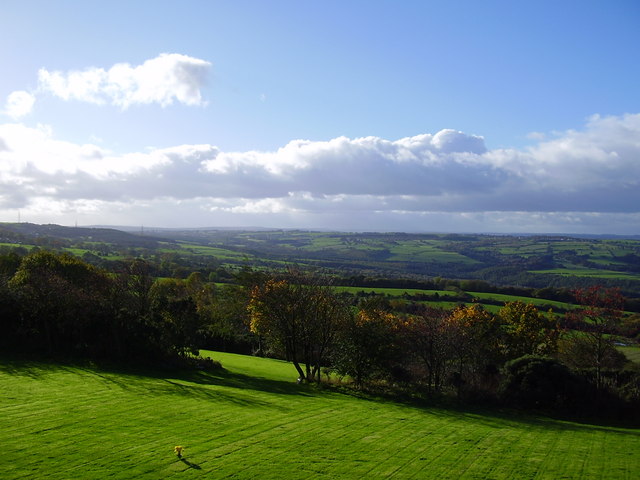
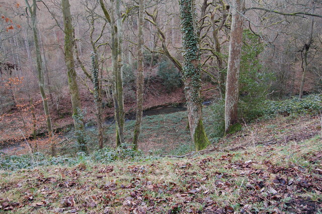
Four Acre Wood is a picturesque forest located in Durham, England. Covering an area of approximately four acres, the wood is a natural haven filled with an abundance of flora and fauna. It is known for its tranquil and serene ambiance, making it a popular destination for nature enthusiasts and those seeking a peaceful retreat.
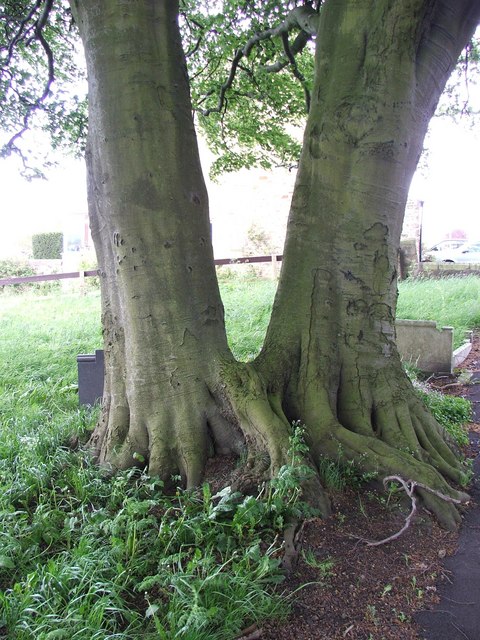
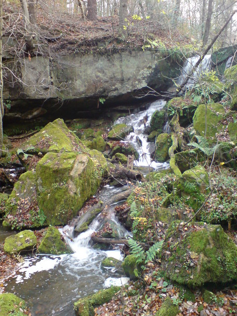
The wood is predominantly composed of deciduous trees, such as oak, beech, and birch, which create a lush and vibrant canopy during the warmer months. These trees provide shade and shelter for a variety of wildlife, including birds, squirrels, and rabbits, which can often be spotted darting among the undergrowth. The forest floor is covered in a thick carpet of ferns, moss, and wildflowers, adding to the wood's enchanting appeal.
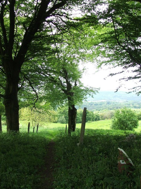
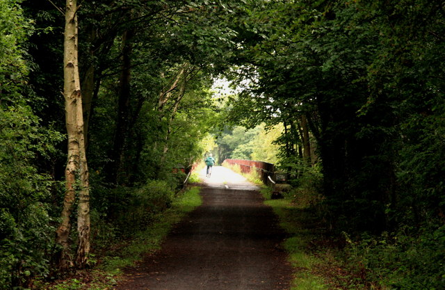
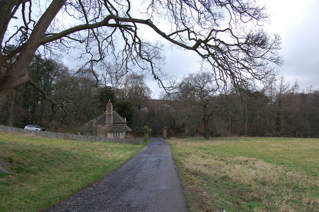
There are several well-maintained trails that wind through Four Acre Wood, allowing visitors to explore its breathtaking beauty. These paths are suitable for walking, jogging, or cycling, and are easy to navigate, making the wood accessible to people of all ages and fitness levels. Along the trails, informative signposts provide interesting facts about the local flora and fauna, enhancing the educational value of the wood.
Four Acre Wood is a popular spot for outdoor activities, with many visitors enjoying picnics, wildlife spotting, and nature photography. The wood is also home to a small pond, where visitors can observe various aquatic creatures, such as frogs and dragonflies. Additionally, the wood has a designated area for children to play, complete with a climbing frame and swings.
Overall, Four Acre Wood is a hidden gem in Durham, offering a delightful escape into nature. Its scenic beauty, diverse wildlife, and peaceful atmosphere make it an ideal destination for both locals and tourists seeking solace in the great outdoors.
If you have any feedback on the listing, please let us know in the comments section below.
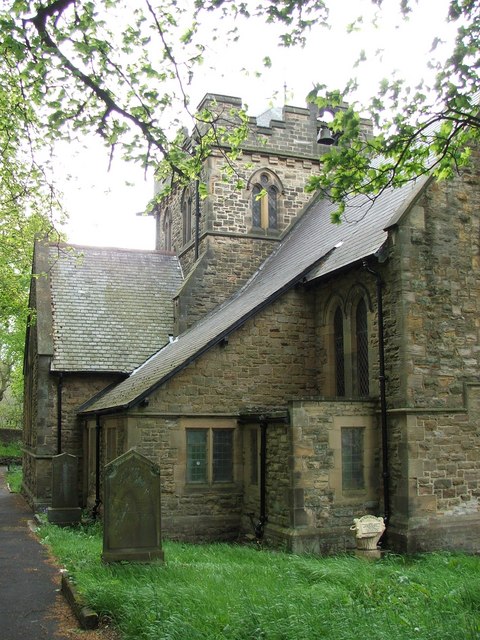
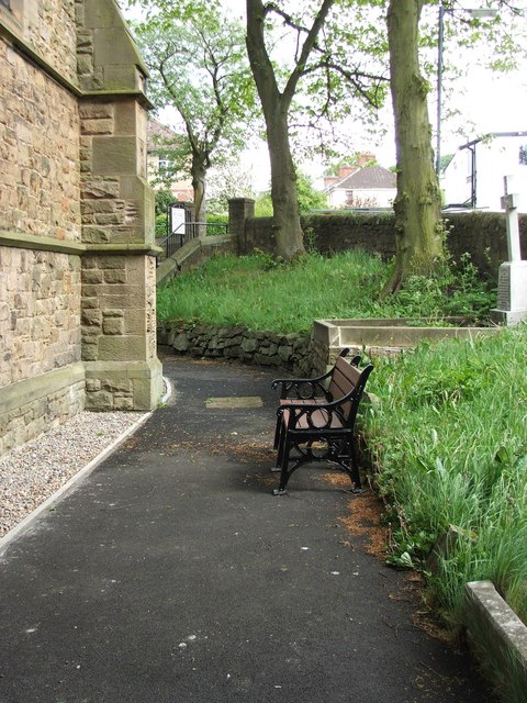
Four Acre Wood Images
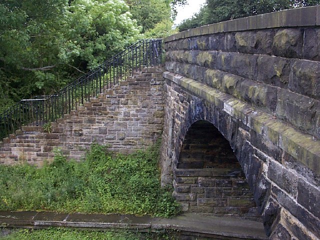
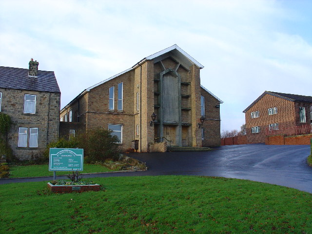
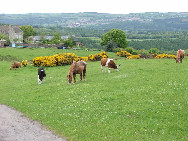
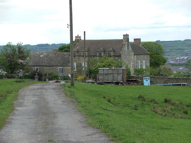
Images are sourced within 2km of 54.888693/-1.7671145 or Grid Reference NZ1554. Thanks to Geograph Open Source API. All images are credited.


Four Acre Wood is located at Grid Ref: NZ1554 (Lat: 54.888693, Lng: -1.7671145)
Unitary Authority: County Durham
Police Authority: Durham
What 3 Words
///townhouse.disclose.crypt. Near Burnopfield, Co. Durham
Nearby Locations
Related Wikis
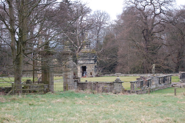
Hamsterley Hall
Hamsterley Hall is an 18th-century English country house at Hamsterley, Rowlands Gill, County Durham, England. It is a Grade II* listed building. The estate...

Hill Top, Stanley
Hill Top is a village in County Durham, England. It is situated to the west of Tantobie, near Stanley. == References ==
Dipton, County Durham
Dipton is a village located in County Durham, England. It is situated to the north-east of Consett, 3 miles south west of Burnopfield and a short distance...
Flint Hill, County Durham
Flint Hill is a small village in County Durham, in England. It is situated to the north of Annfield Plain. == References ==
Nearby Amenities
Located within 500m of 54.888693,-1.7671145Have you been to Four Acre Wood?
Leave your review of Four Acre Wood below (or comments, questions and feedback).