Smythe's Plantation
Wood, Forest in Staffordshire East Staffordshire
England
Smythe's Plantation
The requested URL returned error: 429 Too Many Requests
If you have any feedback on the listing, please let us know in the comments section below.
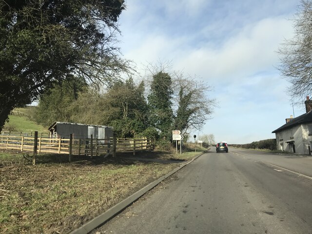
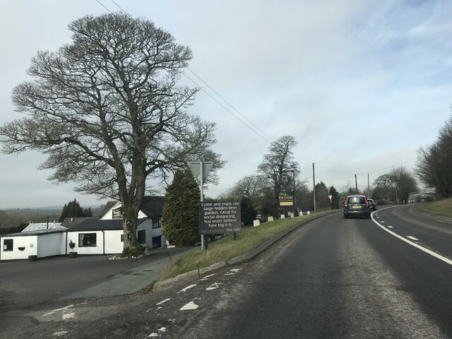
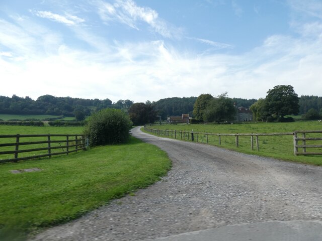
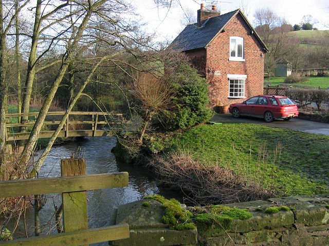
Smythe's Plantation Images
Images are sourced within 2km of 53.025752/-1.7771549 or Grid Reference SK1547. Thanks to Geograph Open Source API. All images are credited.


Smythe's Plantation is located at Grid Ref: SK1547 (Lat: 53.025752, Lng: -1.7771549)
Administrative County: Staffordshire
District: East Staffordshire
Police Authority: Staffordshire
What 3 Words
///postings.train.sushi. Near Mayfield, Staffordshire
Nearby Locations
Related Wikis
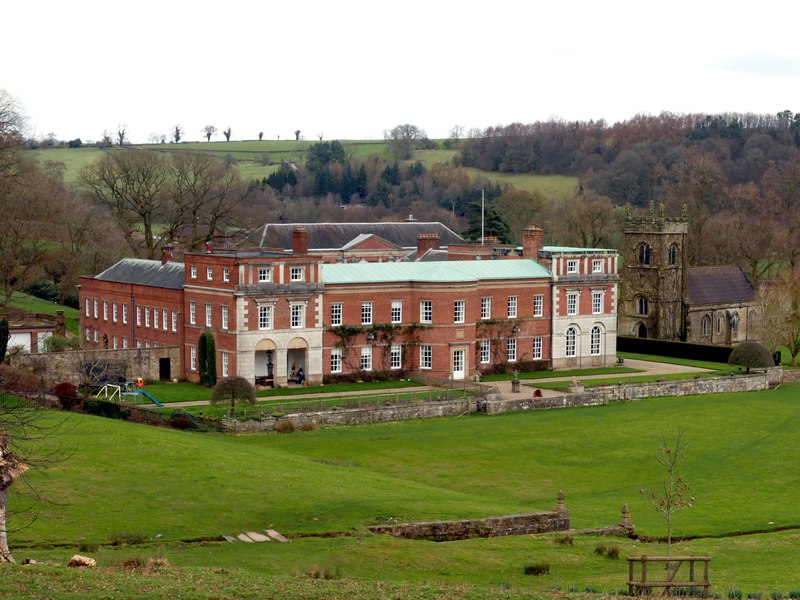
Okeover Hall
Okeover Hall is a privately owned Grade II* listed country house in Okeover, Staffordshire, England. It is the family seat of the Okeover family, who have...

Mapleton, Derbyshire
Mapleton, sometimes spelt Mappleton, is a village and a civil parish in the Derbyshire Dales District, in the English county of Derbyshire. It is near...

Okeover, Staffordshire
Okeover is a civil parish in the East Staffordshire district, in the county of Staffordshire, England. It has a small population and no central village...
Bentley Brook, Bradbourne
The Bentley Brook or Bradbourne Brook is a small tributary of the River Dove in Derbyshire, England, and is 14.5 kilometres (9 miles) long == Name == In...
Nearby Amenities
Located within 500m of 53.025752,-1.7771549Have you been to Smythe's Plantation?
Leave your review of Smythe's Plantation below (or comments, questions and feedback).