Stanley Moss
Wood, Forest in Durham
England
Stanley Moss

Stanley Moss, located in Durham, England, is a picturesque woodland area known for its natural beauty and tranquil atmosphere. The forest covers an extensive area, providing a serene escape from the bustling city life. It is a popular destination for both locals and tourists seeking solace in nature.
The woodland boasts an impressive variety of trees, including oak, birch, and beech, which create a dense canopy and provide a habitat for numerous wildlife species. The forest floor is adorned with a diverse range of flora, such as bluebells, wild garlic, and ferns, adding to the enchanting ambiance of the area.
Several well-maintained walking trails wind through the forest, offering visitors the opportunity to explore its hidden treasures. These paths cater to all levels of hikers, from beginners to experienced adventurers. Along the way, one can encounter babbling brooks, small ponds, and charming bridges, enhancing the overall charm of the woodland.
Stanley Moss is also home to a rich assortment of wildlife. Bird enthusiasts can spot various species, including woodpeckers, owls, and thrushes. Squirrels, foxes, and deer are also commonly sighted, providing a delightful encounter with nature's inhabitants.
Aside from its natural beauty, Stanley Moss offers recreational facilities for outdoor activities. The forest features designated picnic areas, where families and friends can enjoy a leisurely meal surrounded by the tranquility of the woods.
All in all, Stanley Moss in Durham is a captivating woodland that beckons nature lovers and adventure seekers alike. Its lush vegetation, diverse wildlife, and peaceful ambiance make it a perfect destination for those looking to unwind and reconnect with the natural world.
If you have any feedback on the listing, please let us know in the comments section below.
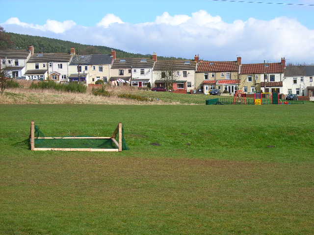
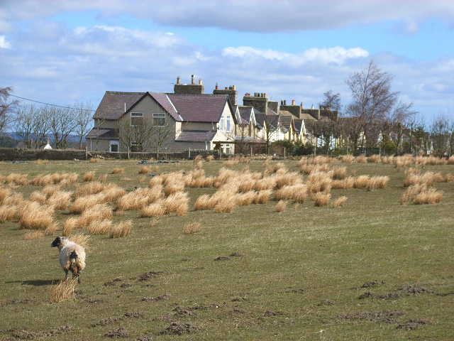
Stanley Moss Images
Images are sourced within 2km of 54.743119/-1.765604 or Grid Reference NZ1538. Thanks to Geograph Open Source API. All images are credited.


Stanley Moss is located at Grid Ref: NZ1538 (Lat: 54.743119, Lng: -1.765604)
Unitary Authority: County Durham
Police Authority: Durham
What 3 Words
///blame.warms.divided. Near Tow Law, Co. Durham
Nearby Locations
Related Wikis
Sunniside, Weardale
Sunniside is a small rural village to the east of Tow Law and north of Crook in County Durham, England. Sunniside has one pub, and a former post office...

East Hedleyhope
East Hedleyhope is a village in County Durham, in England. It is situated about 8 miles (13 km) west of Durham, up the Deerness valley. The main village...
Stanley Crook
Stanley Crook is a village in County Durham, in England. It is situated to the north of Crook and Billy Row. The area is rural, surrounded by open farm...
Roddymoor
Roddymoor is a village in County Durham, in England. In the 2001 census Roddymoor had a population of 500. == Location == It is situated to the north of...

Billy Row
Billy Row is a village in County Durham, England. It is situated a short distance to the north of Crook. According to the 2001 census Billy Row has a population...
Hedley Hill
Hedley Hill is a small village in County Durham, in England. It is situated between Tow Law and Esh Winning. == References ==

Tow Law railway station
Tow Law railway station served the town of Tow Law, County Durham, England, from 1847 to 1965 on the Stanhope and Tyne Railway. == History == The first...

Tow Law
Tow Law is a town and civil parish in County Durham, England. It is situated a few miles to the south of Consett and 5 miles to the north west of Crook...
Nearby Amenities
Located within 500m of 54.743119,-1.765604Have you been to Stanley Moss?
Leave your review of Stanley Moss below (or comments, questions and feedback).