West Belt Plantation

Wood, Forest in Yorkshire Richmondshire

England

West Belt Plantation

Track over Witton Moor Much of Witton Moor is now open access land, with this track being the best approach.
Track over Witton Moor Credit: Gordon Hatton

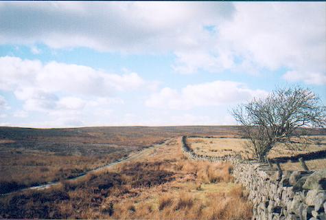
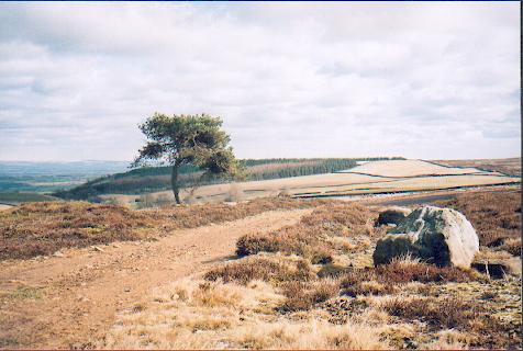
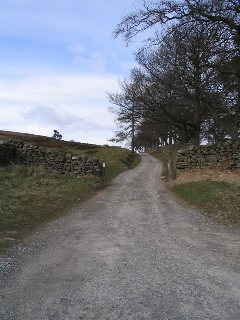
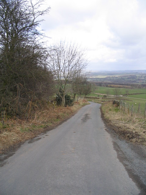
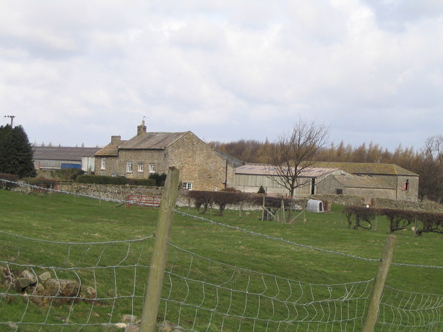
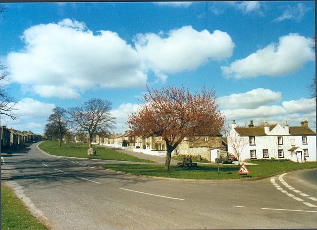
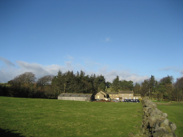
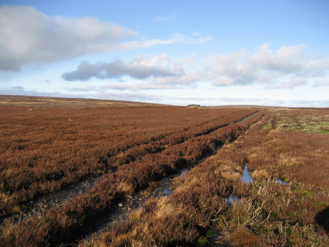
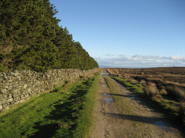
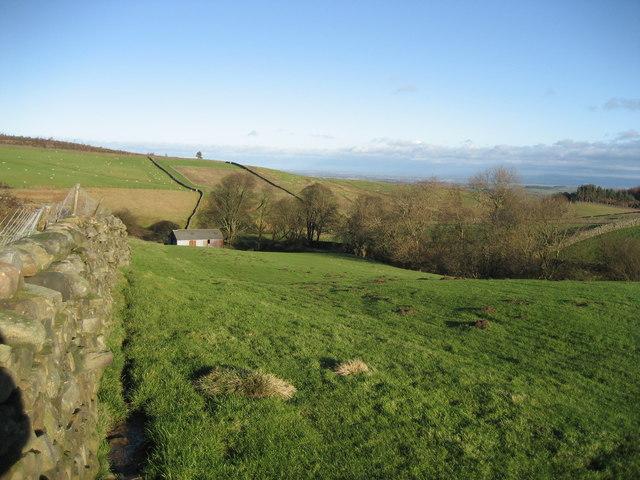
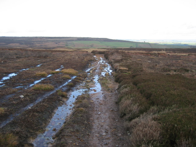
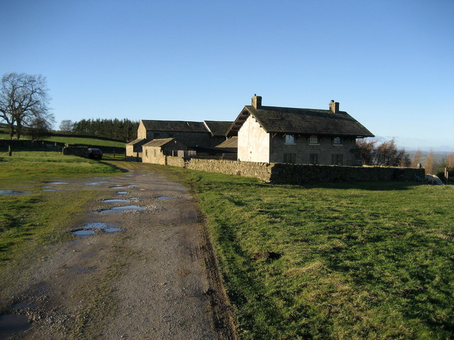
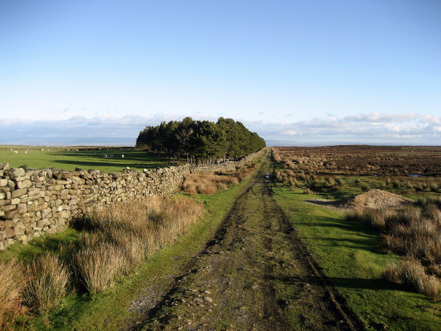
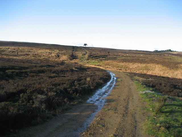
West Belt Plantation is a picturesque woodland located in Yorkshire, England. Nestled amidst the rolling hills and verdant landscapes, this forested area covers a vast expanse of approximately 200 acres. The plantation is situated near the West Belt village, hence its name, and is renowned for its natural beauty, diverse flora, and tranquil atmosphere.

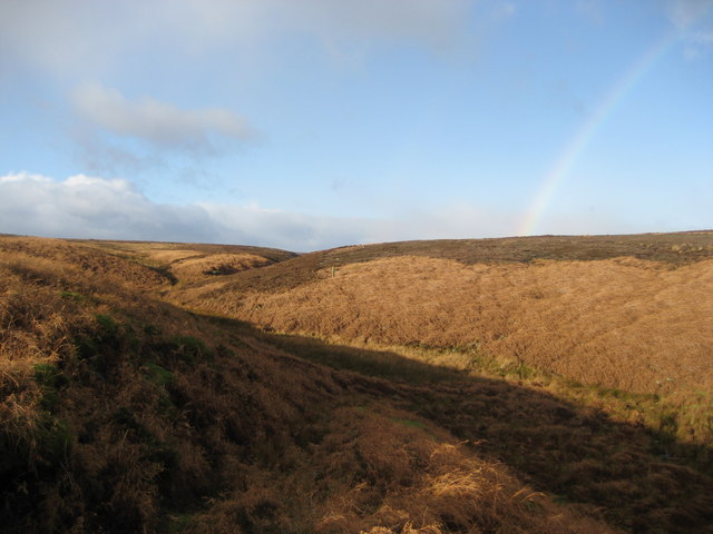
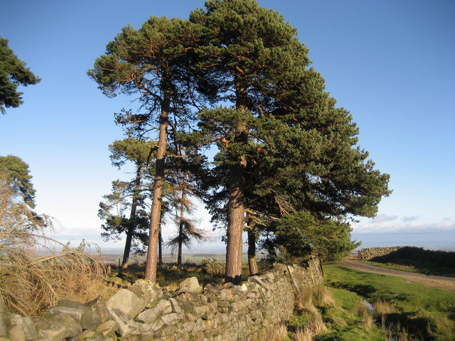
The woodland of West Belt Plantation is primarily composed of native tree species such as oak, beech, and birch, which create a dense canopy overhead. This lush vegetation provides a haven for various wildlife species, including birds, mammals, and insects. Visitors to the plantation can often spot creatures such as deer, foxes, and numerous bird species, making it a popular destination for nature enthusiasts and bird watchers alike.

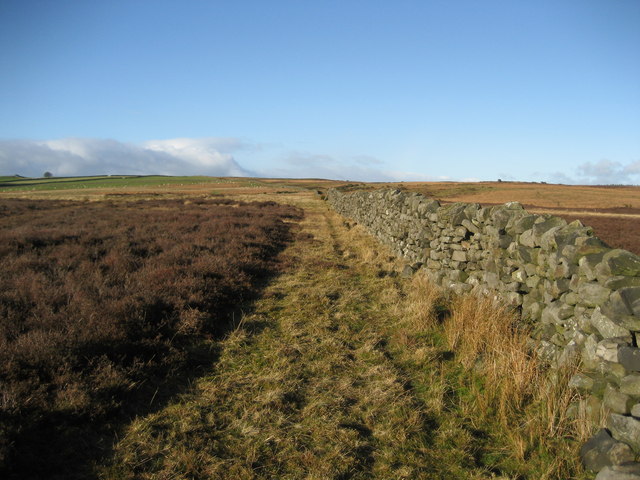
There are several well-maintained walking trails that meander through the plantation, allowing visitors to explore the enchanting forest at their own pace. The paths are marked and provide both beginners and experienced hikers with an opportunity to immerse themselves in the serene surroundings. Additionally, the plantation offers picnic areas and benches strategically placed along the trails, providing visitors with an ideal spot to relax and enjoy the tranquil ambiance.

West Belt Plantation also boasts a small visitor center, which provides information about the woodland's ecology, history, and conservation efforts. The center offers educational programs and guided tours for school groups and interested individuals, aiming to raise awareness about the importance of preserving this natural habitat.

Overall, West Belt Plantation in Yorkshire is a captivating destination for those seeking solace in nature. With its breathtaking landscapes, abundant wildlife, and well-maintained trails, it offers a serene and rejuvenating experience for all who visit.

If you have any feedback on the listing, please let us know in the comments section below.

West Belt Plantation Images

Images are sourced within 2km of 54.249715/-1.768407 or Grid Reference SE1583. Thanks to Geograph Open Source API. All images are credited.

Track over Witton Moor Much of Witton Moor is now open access land, with this track being the best approach.
Track over Witton Moor
Much of Witton Moor is now open access land, with this track being the best approach.
Lonesome Pine, Witton Fell A lonely Scots pine by the shooting track across Witton Fell.
Lonesome Pine, Witton Fell
A lonely Scots pine by the shooting track across Witton Fell.
Track to Witton Moor
Road between Ellingstring and Jervaulx Looking downhill just before High Newstead
Road between Ellingstring and Jervaulx
Looking downhill just before High Newstead
Low Newstead Farm
Low Newstead Farm
East Witton The attractive village of East Witton is built around a long green and is an example of early 19th century planning.
East Witton
The attractive village of East Witton is built around a long green and is an example of early 19th century planning.
Wall over Tranmire Bog Dry stone enclosure wall heading north west over the rough ground of Tranmire Bog towards Witton Moor
Wall over Tranmire Bog
Dry stone enclosure wall heading north west over the rough ground of Tranmire Bog towards Witton Moor
Tranmire Isolated farmstead surrounded by enclosed pastures, which are themselves surrounded by moorland - like an island
Tranmire
Isolated farmstead surrounded by enclosed pastures, which are themselves surrounded by moorland - like an island
Track over Agra Moor Part of the way that leads from Colsterdale to East Witton in Wensleydale - at this point on windswept Agra Moor
Track over Agra Moor
Part of the way that leads from Colsterdale to East Witton in Wensleydale - at this point on windswept Agra Moor
Track beside East Belt Plantation Shows this substantial track running east between the plantation and Witton Moor
Track beside East Belt Plantation
Shows this substantial track running east between the plantation and Witton Moor
Grey Yaud Plantation This is the south eastern corner of a large block of plantation that seem to be a popular feature of this locality
Grey Yaud Plantation
This is the south eastern corner of a large block of plantation that seem to be a popular feature of this locality
Field south of Sowden Beck Farm The farm itself is concealed tightly in the valley of the beck, and only one of the outer buildings is visible from this part of the field
Field south of Sowden Beck Farm
The farm itself is concealed tightly in the valley of the beck, and only one of the outer buildings is visible from this part of the field
Watercourse below Tranmire Hill Following this gill upstream to its source on Agra Moor - the rainbow is a bonus, but not a geograph (wrong square).
Watercourse below Tranmire Hill
Following this gill upstream to its source on Agra Moor - the rainbow is a bonus, but not a geograph (wrong square).
Track across Witton Moor Not marked on your map, but it is there. Part of a track that runs from Colsterdale over Agra and Witton Moor, and then down to East Witton in Wensleydale
Track across Witton Moor
Not marked on your map, but it is there. Part of a track that runs from Colsterdale over Agra and Witton Moor, and then down to East Witton in Wensleydale
Moor Cote Located above a series of plantations, this farm looked deserted and even abandoned. The main house has a curious outsized roof giving it almost an alpine quality
Moor Cote
Located above a series of plantations, this farm looked deserted and even abandoned. The main house has a curious outsized roof giving it almost an alpine quality
Scots Pine near Milestone Bank Lovely specimens of these noble trees on the edge of Witton Moor
Scots Pine near Milestone Bank
Lovely specimens of these noble trees on the edge of Witton Moor
Track beside Witton Moor This track follows the northern boundary of Witton Moor, at this point approaching East Belt Plantation
Track beside Witton Moor
This track follows the northern boundary of Witton Moor, at this point approaching East Belt Plantation
Track approaching Tom Claypham Beck This track is crossing the north western corner of Witton Moor, executing a little dip to cross the approaching watercourse
Track approaching Tom Claypham Beck
This track is crossing the north western corner of Witton Moor, executing a little dip to cross the approaching watercourse
Show me another place!

West Belt Plantation is located at Grid Ref: SE1583 (Lat: 54.249715, Lng: -1.768407)

Division: North Riding

Administrative County: North Yorkshire

District: Richmondshire

Police Authority: North Yorkshire

What 3 Words

///promising.tribune.paper. Near Leyburn, North Yorkshire

Related Wikis

East Witton

East Witton is a village and civil parish in Wensleydale in North Yorkshire, England. It lies south of Leyburn, in the Richmondshire district. Richard...

Ellingstring

Ellingstring is a village and civil parish in Wensleydale in North Yorkshire, England, about 5 miles (8 km) south-east of Leyburn, and 3.5 miles (5.6 km...
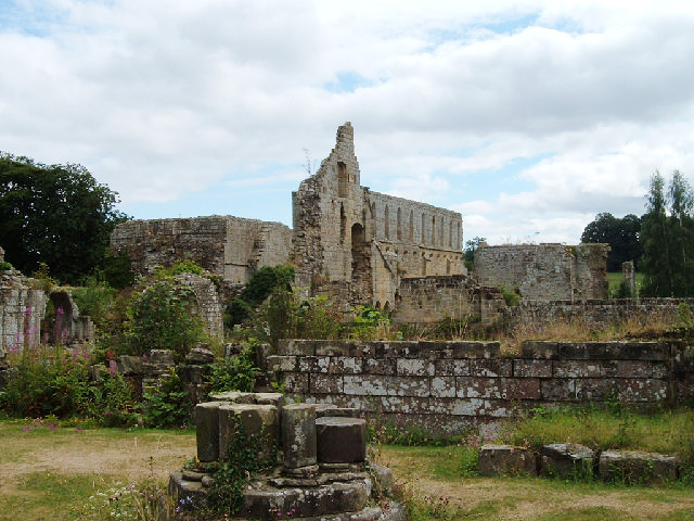
Jervaulx Abbey

Jervaulx Abbey in East Witton in North Yorkshire, 14 mi (23 km) north-west of the city of Ripon, was one of the great Cistercian abbeys of Yorkshire, England...

Gollinglith Foot

Gollinglith Foot (GOWN-li FOOT), historically also spelt Gownley Foot, is a hamlet in the civil parish of Healey in the Harrogate district of North Yorkshire...

River Cover

The River Cover is a river in the Yorkshire Dales in North Yorkshire, England. The Yorkshire Dales Rivers Trust has a remit to conserve the ecological...

Colsterdale

Colsterdale is the valley of the River Burn, a tributary of the River Ure, in the Yorkshire Dales in North Yorkshire, England. It gives its name to a hamlet...
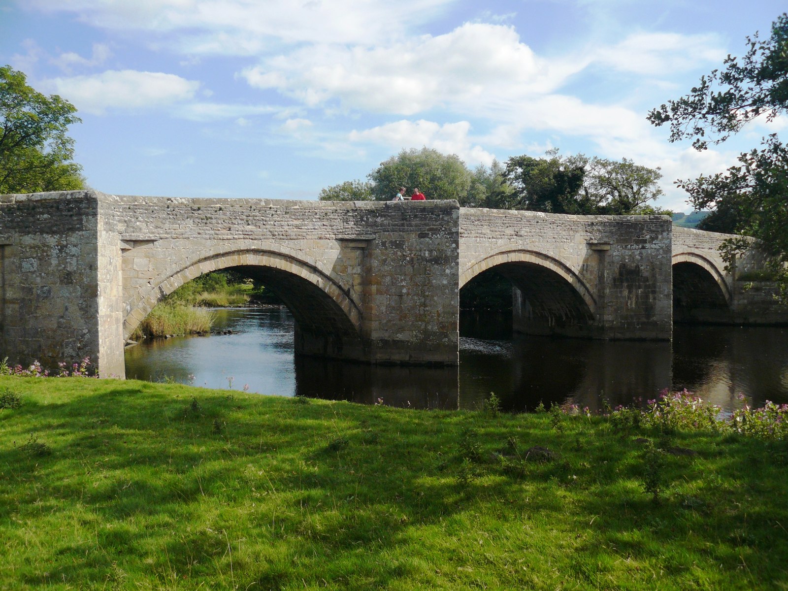
Ulshaw Bridge

Ulshaw Bridge is a hamlet on the River Ure, near to Middleham, in North Yorkshire, England. The hamlet derives its name partly from the Medieval stone...
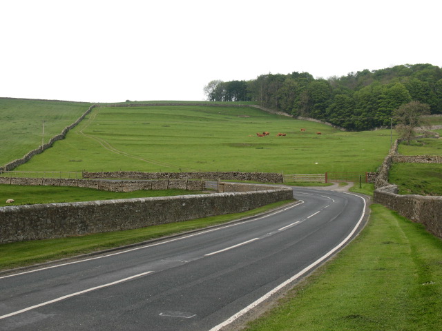
A6108 road

The A6108 road is an A road in North Yorkshire, England. It runs from the south of Scotch Corner to Ripon going via Richmond and Leyburn across the moors...

Have you been to West Belt Plantation?

Leave your review of West Belt Plantation below (or comments, questions and feedback).