Billy Hill
Hill, Mountain in Durham
England
Billy Hill
Billy Hill, Durham, also known as Hill or Mountain, is a prominent geographical feature located in the county of Durham, England. Standing at an elevation of approximately 297 meters (974 feet), it is one of the highest points in the region. The hill is situated within the North Pennines Area of Outstanding Natural Beauty, offering breathtaking panoramic views of the surrounding countryside.
Billy Hill is composed primarily of rugged moorland, characterized by heather-covered slopes, scattered rocky outcrops, and patches of grassland. The hill is renowned for its rich biodiversity, supporting a variety of plant and animal species that thrive in this unique upland habitat. Visitors to the area often encounter grazing sheep and wild birds, adding to the natural charm of the landscape.
The hill is a popular destination for outdoor enthusiasts, attracting walkers, hikers, and nature lovers. Several footpaths and trails traverse the area, providing opportunities for exploration and adventure. The Billy Hill Circular Walk is a particularly popular route, allowing visitors to experience the hill's stunning scenery while enjoying a moderate level of challenge.
In addition to its natural beauty, Billy Hill also holds historical significance. The remains of ancient settlements and burial grounds dating back to the Bronze Age have been discovered in the vicinity, hinting at a long-standing human presence in the area.
Overall, Billy Hill, Durham, is a captivating location that combines natural splendor, outdoor recreation, and cultural heritage. Whether one seeks tranquility, outdoor activities, or a glimpse into the past, this hill offers a rewarding experience for all who visit.
If you have any feedback on the listing, please let us know in the comments section below.
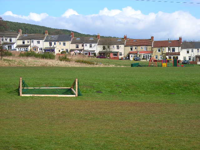
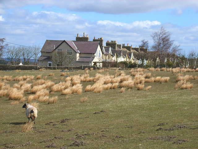
Billy Hill Images
Images are sourced within 2km of 54.738935/-1.7585768 or Grid Reference NZ1538. Thanks to Geograph Open Source API. All images are credited.


Billy Hill is located at Grid Ref: NZ1538 (Lat: 54.738935, Lng: -1.7585768)
Unitary Authority: County Durham
Police Authority: Durham
What 3 Words
///boils.informal.wording. Near Crook, Co. Durham
Nearby Locations
Related Wikis

Stanley Crook
Stanley Crook is a village in County Durham, in England. It is situated to the north of Crook and Billy Row. The area is rural, surrounded by open farm...

Billy Row
Billy Row is a village in County Durham, England. It is situated a short distance to the north of Crook. According to the 2001 census Billy Row has a population...
Roddymoor
Roddymoor is a village in County Durham, in England. In the 2001 census Roddymoor had a population of 500. == Location == It is situated to the north of...
Sunniside, Weardale
Sunniside is a small rural village to the east of Tow Law and north of Crook in County Durham, England. Sunniside has one pub, and a former post office...
East Hedleyhope
East Hedleyhope is a village in County Durham, in England. It is situated about 8 miles (13 km) west of Durham, up the Deerness valley. The main village...
Crook railway station
Crook railway station served the town of Crook, County Durham, England. It was located on the Bishop Auckland and Weardale Railway line from Bishop Auckland...
Crook Town A.F.C.
Crook Town Association Football Club is a football club based in Crook, County Durham, England. They are currently members of the Northern League Division...

Crook, County Durham
Crook is a market town in the district and ceremonial county of County Durham, England. The town is located on the edge of Weardale and is sometimes referred...
Nearby Amenities
Located within 500m of 54.738935,-1.7585768Have you been to Billy Hill?
Leave your review of Billy Hill below (or comments, questions and feedback).