Cynfal-Fawr

Settlement in Merionethshire

Wales

Cynfal-Fawr

Ysgol Pennal
Ysgol Pennal Credit: Richard Hoare

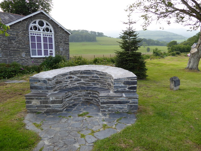
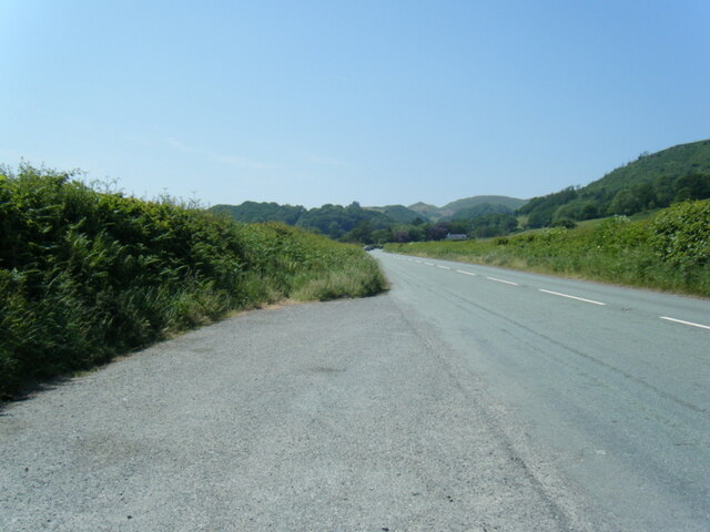
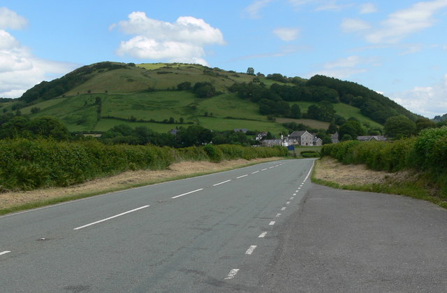
Cynfal-Fawr is a small village located in the historic county of Merionethshire, Wales. Situated in the Snowdonia National Park, this picturesque settlement is surrounded by breathtaking natural beauty and is known for its tranquil atmosphere.

The village is nestled in the Cynfal Valley, which is renowned for its lush green landscapes, meandering rivers, and cascading waterfalls. One of the notable features of Cynfal-Fawr is the Cynfal Falls, a stunning waterfall that attracts visitors from far and wide. The falls are formed by the River Cynfal as it tumbles down a series of rocky ledges, creating a mesmerizing spectacle of rushing waters and mist.

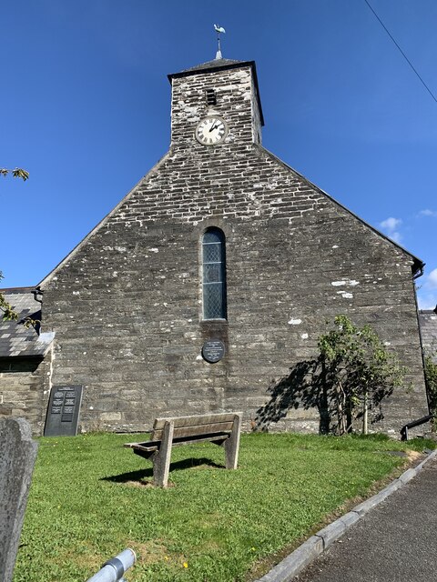
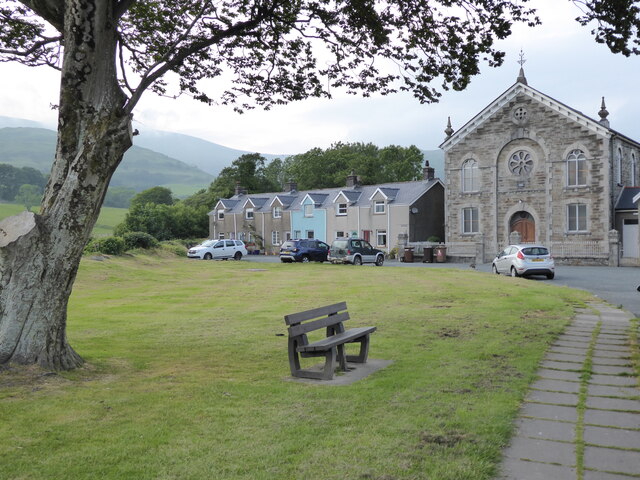
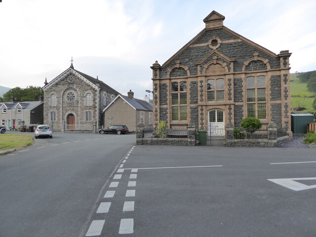
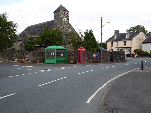
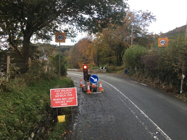
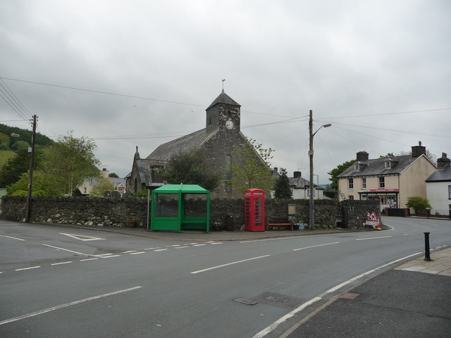
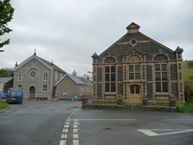
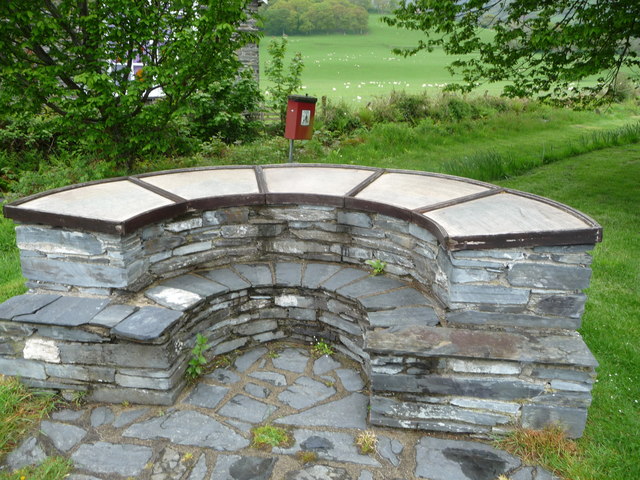
The village itself consists of a cluster of traditional stone cottages, some of which date back several centuries. These charming dwellings contribute to the area's old-world charm and offer a glimpse into the region's rich history. The surrounding countryside provides ample opportunities for outdoor activities, including hiking, cycling, and birdwatching, making Cynfal-Fawr a popular destination for nature enthusiasts and adventure seekers.

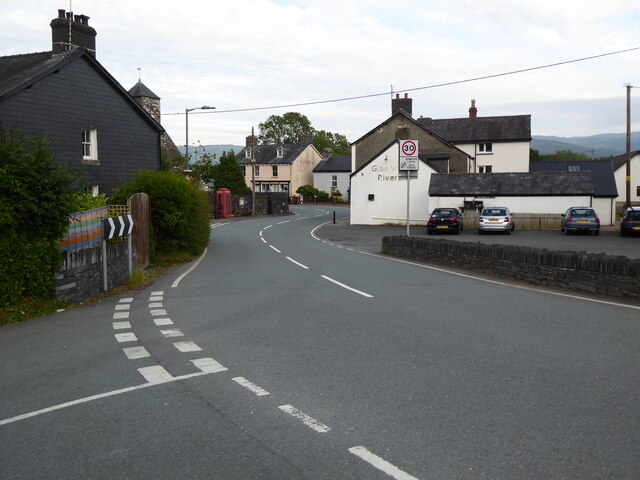
Despite its small size, the village is conveniently located near larger towns such as Dolgellau, which provides essential amenities and services. Additionally, Cynfal-Fawr is within easy reach of several notable attractions, including the Coed y Brenin Forest Park, where visitors can enjoy mountain biking trails and walking paths through ancient woodlands.

In summary, Cynfal-Fawr is a picturesque village in Merionethshire, Wales, known for its stunning natural surroundings, including the Cynfal Falls and the beautiful Cynfal Valley. With its rich history, charming cottages, and proximity to outdoor activities, it offers visitors a perfect blend of tranquility and adventure.

If you have any feedback on the listing, please let us know in the comments section below.
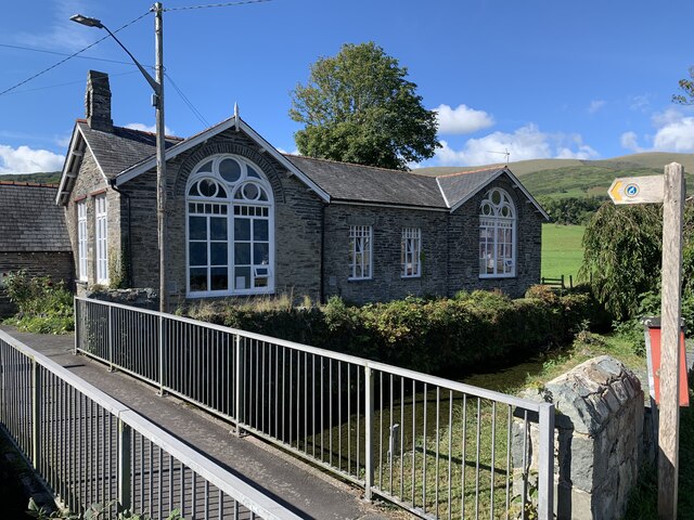
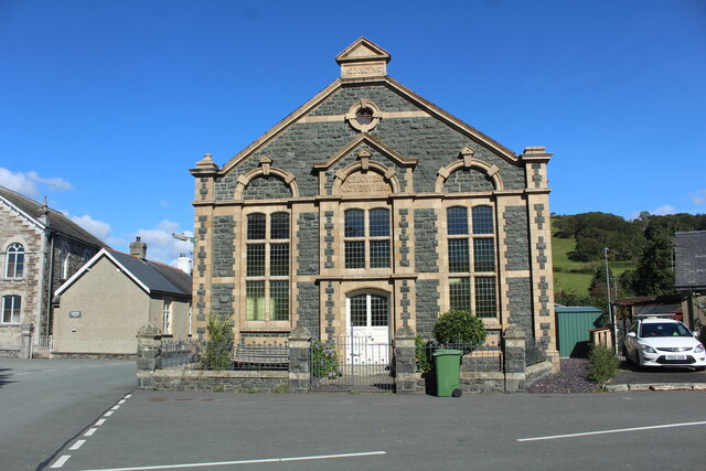
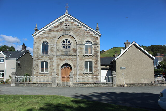
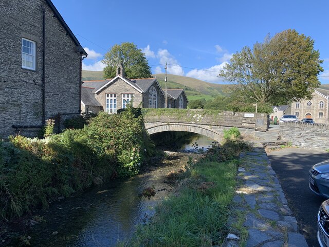
Cynfal-Fawr Images

Images are sourced within 2km of 52.587211/-3.949017 or Grid Reference SH6800. Thanks to Geograph Open Source API. All images are credited.

Ysgol Pennal
Ysgol Pennal
Carmel Methodist Chapel This chapel built in 1809, rebuilt in 1850 and again in 1899. It was used by the English Wesleyan Methodists and is no longer in use.
Carmel Methodist Chapel
This chapel built in 1809, rebuilt in 1850 and again in 1899. It was used by the English Wesleyan Methodists and is no longer in use.
A chapel in Pennal Described elsewhere as disused maybe for services but there is a sign to the right suggesting it might be a centre or meeting place.
A chapel in Pennal
Described elsewhere as disused maybe for services but there is a sign to the right suggesting it might be a centre or meeting place.
Bridge over stream in Pennal
St Peter Ad Vincula Church, Pennal
Ordnance Survey Cut Mark This OS cut mark can be found on the SE face of St Peter's Church. It marks a point 8.670m above mean sea level.
Ordnance Survey Cut Mark
This OS cut mark can be found on the SE face of St Peter's Church. It marks a point 8.670m above mean sea level.
Ordnance Survey Flush Bracket (S0347) This OS Flush Bracket can be found on the SE angle of the school. It marks a point 8.355m above mean sea level.
Ordnance Survey Flush Bracket (S0347)
This OS Flush Bracket can be found on the SE angle of the school. It marks a point 8.355m above mean sea level.
Green in Pennal The building on the right is the former Capel Carmel.
Green in Pennal
The building on the right is the former Capel Carmel.
Former chapels in Pennal Two former chapels in Pennal, the one on the right was the English Wesleyan Methodists, the one to the left in the background was the Independent Welsh Chapel.
Former chapels in Pennal
Two former chapels in Pennal, the one on the right was the English Wesleyan Methodists, the one to the left in the background was the Independent Welsh Chapel.
Seat and information centre Seat and information centre in Pannel.
Seat and information centre
Seat and information centre in Pannel.
The A493 passing through Pennal The church on the left is dedicated to St Peter Ad Vincula Church.
The A493 passing through Pennal
The church on the left is dedicated to St Peter Ad Vincula Church.
The A493 passing through Pennal
A493 lay-by west of Pennal
Traffic lights on the A493 in Cwrt
St. Peter Ad Vincula church in Pennal A medieval church, with some restoration and rebuilding since, this is the only church in Wales with this particular dedication.

It is thought that the site has been a religious one since the 6th century and still has an oval layout. It may also have been a pre-Christian era shrine. It was selected by Owain Glyndwr as his 'Chapel Royal' in 1406 and he quite likely drafted and signed the Pennal Letter inside the church during Lent.
St. Peter Ad Vincula church in Pennal
A medieval church, with some restoration and rebuilding since, this is the only church in Wales with this particular dedication. It is thought that the site has been a religious one since the 6th century and still has an oval layout. It may also have been a pre-Christian era shrine. It was selected by Owain Glyndwr as his 'Chapel Royal' in 1406 and he quite likely drafted and signed the Pennal Letter inside the church during Lent.
Two chapels in Pennal Two grand and handsome Non-conformist chapels stand close to each other. Such was the importance of this form of belief in Wales that they were possibly both full in their heyday. I wonder what their attendances are like in these times?
Two chapels in Pennal
Two grand and handsome Non-conformist chapels stand close to each other. Such was the importance of this form of belief in Wales that they were possibly both full in their heyday. I wonder what their attendances are like in these times?
Information point in Pennal This particular toposcope style historical information point is looking a little tired; the information on the locality and its history and points of interest has been faded and zapped by UV rays, rainwater and frosts and could benefit from being renewed. If funds permit in a time of cutbacks, austerity and uncertainty. The dog-poo bin could have been better sited too, maybe.
Information point in Pennal
This particular toposcope style historical information point is looking a little tired; the information on the locality and its history and points of interest has been faded and zapped by UV rays, rainwater and frosts and could benefit from being renewed. If funds permit in a time of cutbacks, austerity and uncertainty. The dog-poo bin could have been better sited too, maybe.
The A493 towards Pennal The hill is the 200m high Braich y Golwydd.
The A493 towards Pennal
The hill is the 200m high Braich y Golwydd.
Show me another place!

Cynfal-Fawr is located at Grid Ref: SH6800 (Lat: 52.587211, Lng: -3.949017)

Unitary Authority: Gwynedd

Police Authority: North Wales

What 3 Words

///cascade.newsstand.snipe. Near Machynlleth, Powys

Related Wikis

Cwm Ebol quarry

The Cwm Ebol quarry (also known as Cwmebol quarry) was a slate quarry about 1 mile (1.6 km) north west of the village of Pennal in Mid Wales. It operated...

Pennal

Pennal is a village and community on the A493 road in southern Gwynedd, Wales, on the north bank of the River Dyfi, near Machynlleth. It lies in the historic...

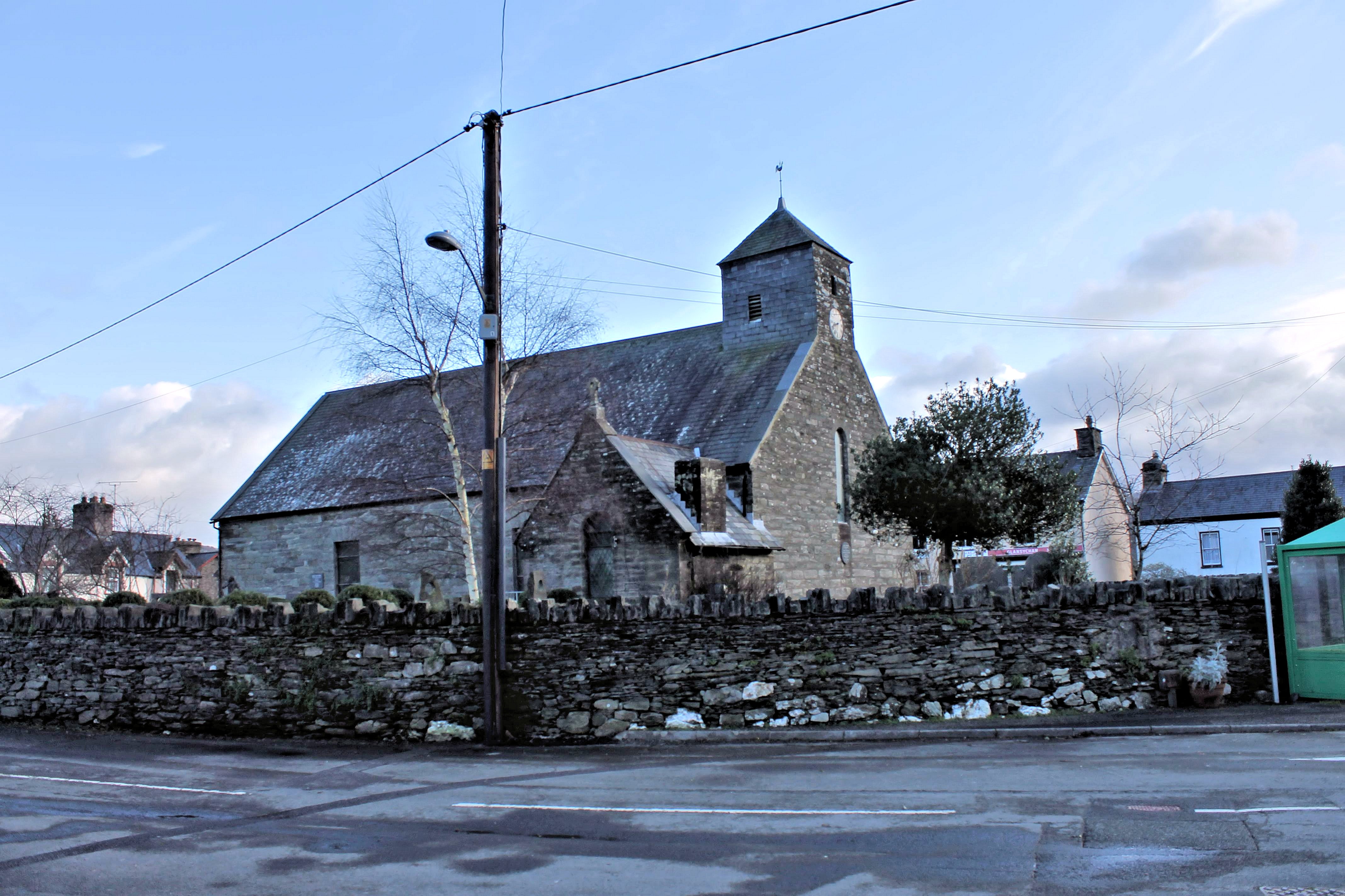
St Peter ad Vincula, Pennal

The parish church of St Peter ad Vincula (meaning Saint Peter in Chains) in the village of Pennal in Gwynedd, north-west Wales, is notable as the site...
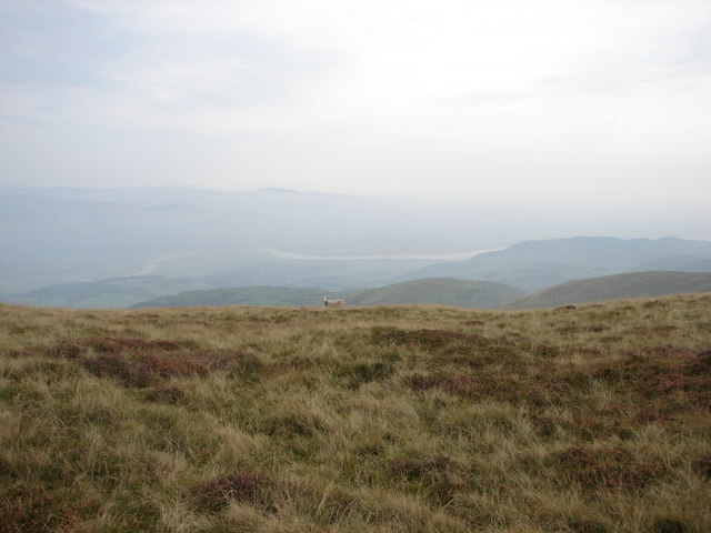
Mynydd Esgairweddan

Mynydd Esgairweddan is a hill near Pennal in southern Gwynedd, Wales (grid reference SH6702). Nearby is the tiny settlement of Esgairweddan. It is very...

Cors Dyfi nature reserve

Cors Dyfi is a nature reserve located near to the village of Derwenlas, in the county of Powys, Wales. Located on land reclaimed from the Estuary on the...
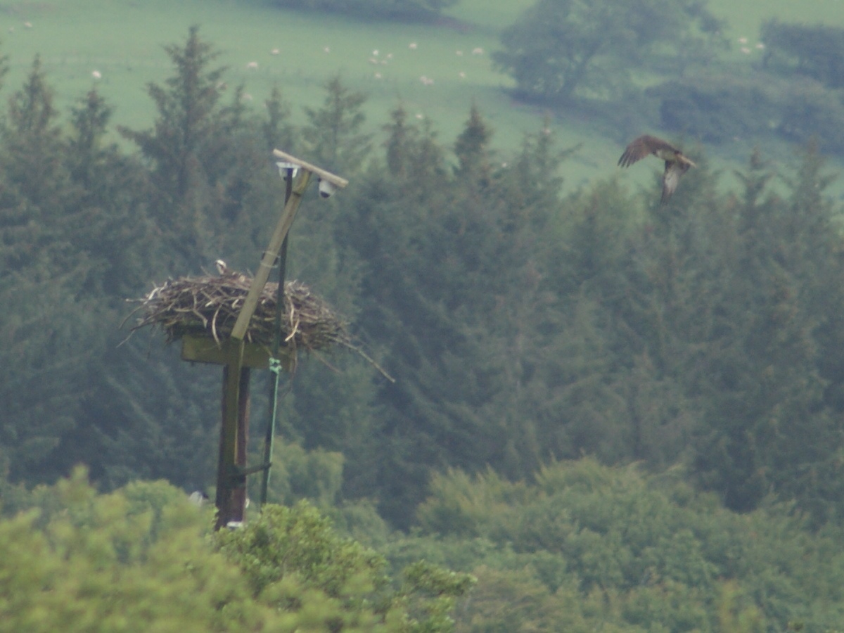
Dyfi Osprey Project

The Dyfi Osprey Project is a conservation project at the Cors Dyfi nature reserve near Derwenlas, in the county of Powys, Wales, under the management of...

Gogarth railway station

Gogarth railway station served a sparsely populated area on the north shore of the Dyfi estuary in the Welsh county of Merionethshire. == History == Opened...

Dovey Junction railway station

Dovey Junction ( DUH-vee-; Welsh: Cyffordd Dyfi) is a railway station on the Cambrian Line in Wales. It is the junction where the line splits into the...

Nearby Amenities

Located within 500m of 52.587211,-3.949017
Cynfal-fawr
Ele: 245
Natural: peak
Lat/Long: 52.5892073/-3.9495952
The data included in this document is from www.openstreetmap.org. The data is made available under ODbL.

Have you been to Cynfal-Fawr?

Leave your review of Cynfal-Fawr below (or comments, questions and feedback).