Cynffig

Settlement in Glamorgan

Wales

Cynffig

Sker House Atop the wind blasted dunes of Sker Point, a Cistercian monastery founded some 900 years ago became a private house in Tudor times. It has had a chequered history and is surrounded by impossibly romantic tales of ghosts and thwarted love.  This picture was taken just a very few years before the house, derelict for a century, was saved from total collapse and is now saved for the nation as one of the most important historic houses in Wales.
Sker House Credit: Deirdre Shaw

Cynffig is a village located in the county of Glamorgan in South Wales, United Kingdom. Situated approximately 5 miles northwest of the town of Bridgend, Cynffig is nestled in the picturesque Vale of Glamorgan, with stunning views of the surrounding countryside.

The village is known for its rich history, dating back to medieval times. It is home to the historic St. Cynfig's Church, a Grade II listed building that has stood since the 12th century. The church is a popular attraction for history enthusiasts and tourists alike, with its unique architecture and beautiful stained glass windows.

Cynffig offers a tranquil and peaceful setting, with a close-knit community that takes pride in its village. The area is largely residential, with a mix of traditional Welsh stone cottages and modern houses. The village is surrounded by lush green fields and farmland, making it an ideal location for those who enjoy countryside living.

Although Cynffig is a small village, it benefits from its proximity to larger towns and cities. The nearby town of Bridgend offers a range of amenities, including shops, restaurants, and leisure facilities. The village is also well-connected by road, with easy access to the M4 motorway, making it convenient for commuters.

Overall, Cynffig is a charming village with a rich history and a close community spirit. Its idyllic location and peaceful atmosphere make it an appealing place to live for those seeking a rural lifestyle while still having access to nearby urban amenities.

If you have any feedback on the listing, please let us know in the comments section below.
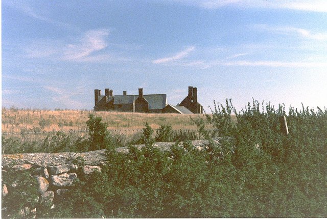
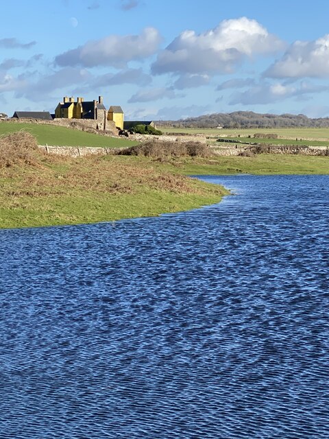
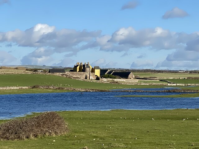
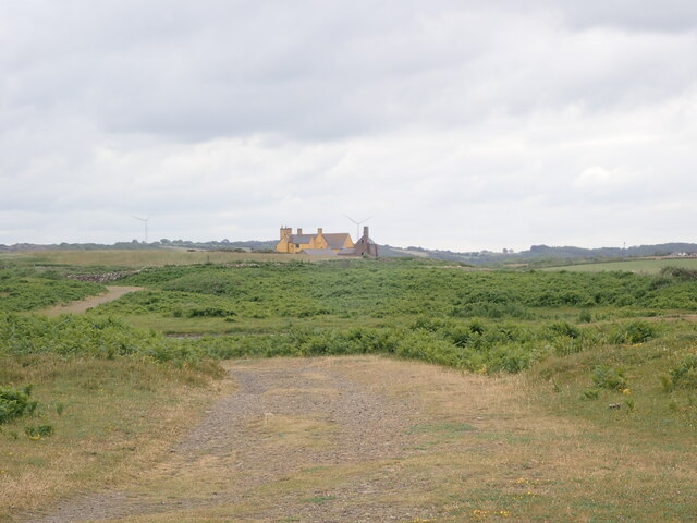
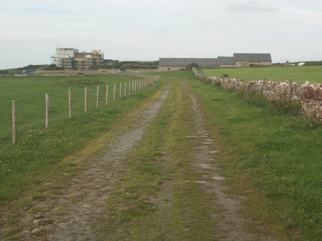
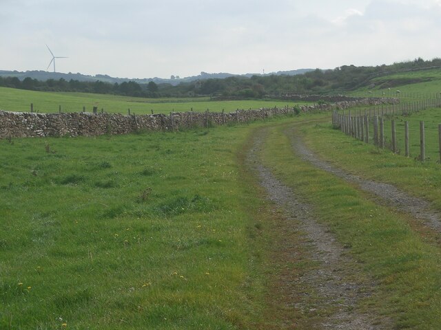
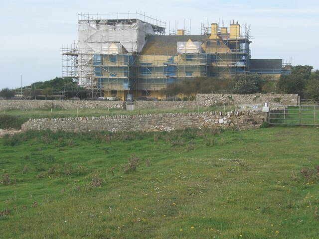
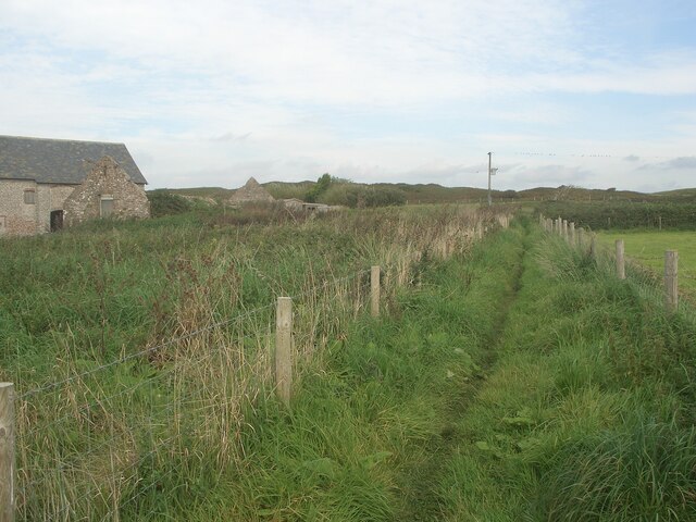
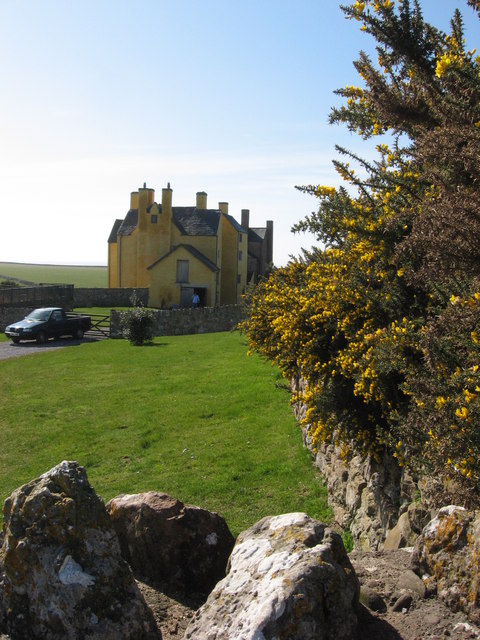
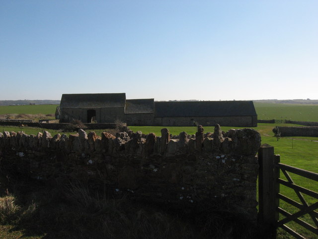
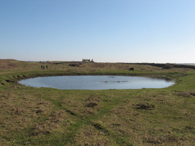
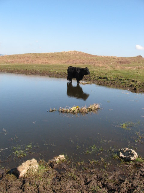
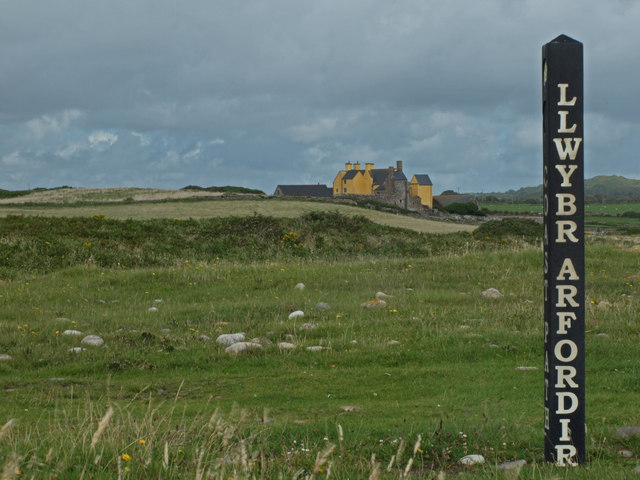
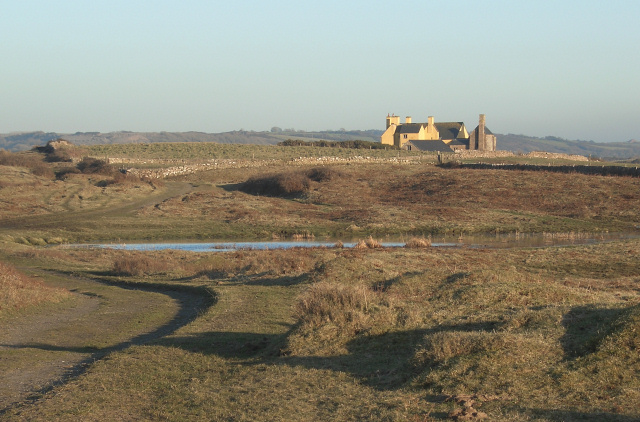
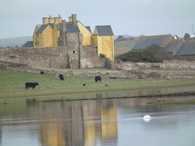
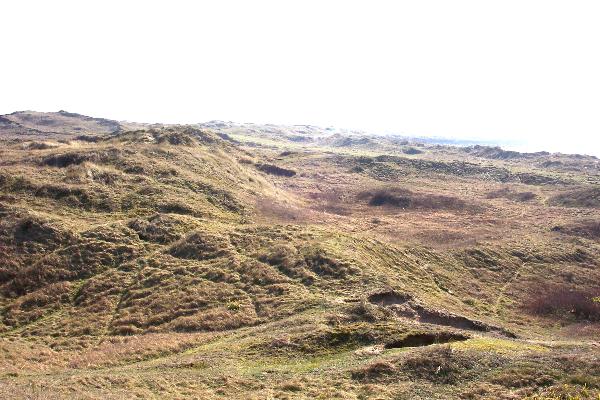
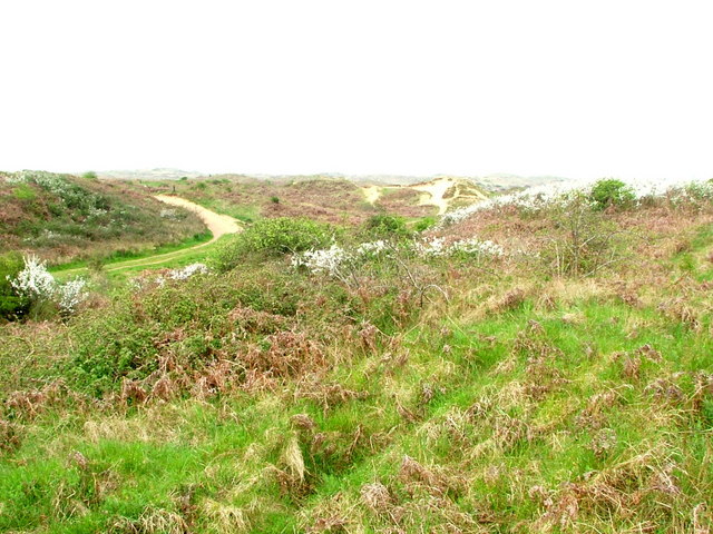
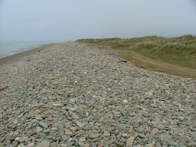
Cynffig Images

Images are sourced within 2km of 51.520254/-3.728415 or Grid Reference SS8081. Thanks to Geograph Open Source API. All images are credited.

Sker House Atop the wind blasted dunes of Sker Point, a Cistercian monastery founded some 900 years ago became a private house in Tudor times. It has had a chequered history and is surrounded by impossibly romantic tales of ghosts and thwarted love.  This picture was taken just a very few years before the house, derelict for a century, was saved from total collapse and is now saved for the nation as one of the most important historic houses in Wales.
Sker House
Atop the wind blasted dunes of Sker Point, a Cistercian monastery founded some 900 years ago became a private house in Tudor times. It has had a chequered history and is surrounded by impossibly romantic tales of ghosts and thwarted love. This picture was taken just a very few years before the house, derelict for a century, was saved from total collapse and is now saved for the nation as one of the most important historic houses in Wales.
Sker House Sker House - a Grade I listed building. Originally constructed 900 years ago as a Cistercian Grange, Sker House was almost completely rebuilt in the 16th century. It was the setting for R.D.Blackmore’s story, The Maid of Sker.

<span class="nowrap"><a title="https://en.wikipedia.org/wiki/Sker_House" rel="nofollow ugc noopener" href="https://en.wikipedia.org/wiki/Sker_House">Link</a><img style="margin-left:2px;" alt="External link" title="External link - shift click to open in new window" src="https://s1.geograph.org.uk/img/external.png" width="10" height="10"/></span>.
Sker House
Sker House - a Grade I listed building. Originally constructed 900 years ago as a Cistercian Grange, Sker House was almost completely rebuilt in the 16th century. It was the setting for R.D.Blackmore’s story, The Maid of Sker. LinkExternal link.
Sker House Sker House and farm buildings.

See also <a href="https://www.geograph.org.uk/photo/6739780">SS7979 : Sker House</a>.
Sker House
Sker House and farm buildings. See also SS7979 : Sker House.
Sker House from Sker Point Grade I listed, it was originally built as a monastic grange of the Cistercian order over 900 years ago. Little remains of the original structure and it was completely rebuilt in the late sixteenth century.
The house was made famous in the 1872 novel The Maid of Sker by R D Blackmore and is based on the story of Elizabeth Williams, said to have died of a broken heart after being locked in a room in the house by her father to stop her from marrying her lover. Her spirit is said to haunt Sker, along with the captain of a ship which was wrecked on nearby Sker Point.
Sker House from Sker Point
Grade I listed, it was originally built as a monastic grange of the Cistercian order over 900 years ago. Little remains of the original structure and it was completely rebuilt in the late sixteenth century. The house was made famous in the 1872 novel The Maid of Sker by R D Blackmore and is based on the story of Elizabeth Williams, said to have died of a broken heart after being locked in a room in the house by her father to stop her from marrying her lover. Her spirit is said to haunt Sker, along with the captain of a ship which was wrecked on nearby Sker Point.
Public footpath approaching Sker House from the east The public footpath, which takes the form of a track, has run here from a spot on the Nottage to Kenfig Road by Parc Newydd Farm.

At the time the picture was taken, extensive work was ongoing at Sker House which was covered with scaffolding. The latter had sheeting attached to it in places.

As well as the house itself, the image shows some of its outbuildings which are known as Ty-yr-ychen and are Grade II listed - see <span class="nowrap"><a title="https://britishlistedbuildings.co.uk/300011360-ty-yr-ychen-also-known-as-sker-house-farm-buildings-cornelly" rel="nofollow ugc noopener" href="https://britishlistedbuildings.co.uk/300011360-ty-yr-ychen-also-known-as-sker-house-farm-buildings-cornelly">Link</a><img style="margin-left:2px;" alt="External link" title="External link - shift click to open in new window" src="https://s1.geograph.org.uk/img/external.png" width="10" height="10"/></span>.
Public footpath approaching Sker House from the east
The public footpath, which takes the form of a track, has run here from a spot on the Nottage to Kenfig Road by Parc Newydd Farm. At the time the picture was taken, extensive work was ongoing at Sker House which was covered with scaffolding. The latter had sheeting attached to it in places. As well as the house itself, the image shows some of its outbuildings which are known as Ty-yr-ychen and are Grade II listed - see LinkExternal link.
Public footpath heading eastwards from Sker House Sker House is situated a short distance behind the camera. The public footpath to the Nottage-Kenfig road by Parc Newydd Farm runs along the track seen, which no doubt will be used by some vehicles, although is not the main road route to and from the House.

The fence seen on the south side of the track is a relatively new feature, and for some walkers will be a welcome barrier between them and any cattle grazing on the land in front of the House.
Public footpath heading eastwards from Sker House
Sker House is situated a short distance behind the camera. The public footpath to the Nottage-Kenfig road by Parc Newydd Farm runs along the track seen, which no doubt will be used by some vehicles, although is not the main road route to and from the House. The fence seen on the south side of the track is a relatively new feature, and for some walkers will be a welcome barrier between them and any cattle grazing on the land in front of the House.
Sker House during extensive work The whole of the Grade I listed house was covered with scaffolding, and some of the latter had sheeting attached to it, when the area was visited in September 2023. Work is apparently being carried out on the roofing.
Sker House during extensive work
The whole of the Grade I listed house was covered with scaffolding, and some of the latter had sheeting attached to it, when the area was visited in September 2023. Work is apparently being carried out on the roofing.
Public footpath by Ty-yr-ychen, Sker This stretch of path runs close to the outbuildings of Sker House known as Ty-yr-ychen which can be seen in the right half of <a href="https://www.geograph.org.uk/photo/7598642">SS7979 : Public footpath approaching Sker House from the east</a>.  For those who have taken the public footpath from the Nottage-Kenfig road by Parc Newydd Farm to Sker House and wish to continue walking without retracing steps, this stretch of path is initially the only option available. Just a short distance ahead, however, there will be choices to be made between different paths to take.
Public footpath by Ty-yr-ychen, Sker
This stretch of path runs close to the outbuildings of Sker House known as Ty-yr-ychen which can be seen in the right half of SS7979 : Public footpath approaching Sker House from the east. For those who have taken the public footpath from the Nottage-Kenfig road by Parc Newydd Farm to Sker House and wish to continue walking without retracing steps, this stretch of path is initially the only option available. Just a short distance ahead, however, there will be choices to be made between different paths to take.
Sker House
Sker House
Ty'r-y-ychen: barn near Sker House
Pond near Sker House
Solitary drinker
Solitary drinker
Sker House Sker House near Porthcawl photographed from the Wales Coastal Path, with one of the path's signposts in the foreground
Sker House
Sker House near Porthcawl photographed from the Wales Coastal Path, with one of the path's signposts in the foreground
A view towards Sker House A view towards the restored house from the junction of the Wales Coast Path with a bridleway (the latter seen in the photograph).
A view towards Sker House
A view towards the restored house from the junction of the Wales Coast Path with a bridleway (the latter seen in the photograph).
Sker House Sker House, Rest Bay, Porthcawl viewed across flooded fields.
Sker House
Sker House, Rest Bay, Porthcawl viewed across flooded fields.
Kenfig Sands This is a vast area of sand dunes near Porthcawl in Wales.  The majority of this square is filled up with the dunes.
Kenfig Sands
This is a vast area of sand dunes near Porthcawl in Wales. The majority of this square is filled up with the dunes.
Sand Dunes, Kenfig National Nature Reserve This area was once a thriving medieval borough but is now a site of special scientifice interest.
Sand Dunes, Kenfig National Nature Reserve
This area was once a thriving medieval borough but is now a site of special scientifice interest.
Pebble Bank, Kenfig Nature Reserve
Show me another place!

Cynffig is located at Grid Ref: SS8081 (Lat: 51.520254, Lng: -3.728415)

Unitary Authority: Bridgend

Police Authority: South Wales

Also known as: Kenfig

What 3 Words

///sharp.headliner.analogy. Near Pyle, Bridgend

Related Wikis

Kenfig Pool

Kenfig Pool (Welsh: Pwll Cynffig) is a national nature reserve situated near Porthcawl, Bridgend. Wild storms and huge tides between the 13th and 15th...

Kenfig

Kenfig (Welsh: Cynffig) is a village and former borough in Bridgend, Wales. It is situated 1 mile (1.6 km) inland on the north bank of the Bristol Channel...

Kenfig Castle

Kenfig Castle (Welsh: Castell Cynffig) is a ruined castle in Bridgend County Borough in Wales that came to prominence after the Anglo-Norman invasion of...

North Cornelly

North Cornelly (Welsh: Gogledd Corneli) is a village in Cornelly, Bridgend county borough, Wales. The village is close to South Cornelly, adjoins Pyle...

Nearby Amenities

Located within 500m of 51.520254,-3.728415
Pub
Prince of Wales
Addr City: Ton Kenfig
Addr Housename: Prince Of Wales Inn
Addr Postcode: CF33 4PR
Fhrs Id: 1081422
Food: yes
Opening Hours: Mo 12:00-22:00; Tu-Su 12:00-23:00
Phone: +44 1656 740356
Website: http://www.princekenfig.co.uk/
Wheelchair: no
Wikidata: Q29489730
Lat/Long: 51.5224441/-3.7257973
Kenfig
Name Cy: Cynffig
Place: village
Population: 100
Wikidata: Q6389161
Lat/Long: 51.516201/-3.7273227
Post Box
Operator: Royal Mail
Post Box Type: lamp
Ref: CF33 111
Royal Cypher: EIIR
Royal Cypher Wikidata: Q33102113
Lat/Long: 51.516542/-3.7273194
Hide 2
Name En: Hide 2
Tourism: viewpoint
Lat/Long: 51.5222894/-3.7334795
Shelter
Shelter Type: public_transport
Lat/Long: 51.5162561/-3.7275421
Bus Stop
Bus: yes
Public Transport: platform
Lat/Long: 51.5162023/-3.727477
Waste Basket
Lat/Long: 51.5161461/-3.7285372
Bench
Backrest: yes
Description: Backrest in the shape of a carved fish
Material: wood
Seats: 4
Lat/Long: 51.5223339/-3.7346293
The data included in this document is from www.openstreetmap.org. The data is made available under ODbL.

Have you been to Cynffig?

Leave your review of Cynffig below (or comments, questions and feedback).