Cornelly
Community in Glamorgan
Wales
Cornelly
Cornelly is a community located in the county of Glamorgan in Wales, United Kingdom. It is situated in the southern part of the country, approximately 20 miles west of the capital city, Cardiff. The community is part of the Bridgend County Borough and covers an area of around 1.5 square miles.
Cornelly is primarily a residential area, with a population of approximately 5,000 residents. The community is characterized by its mix of housing types, including detached houses, semi-detached houses, and terraced houses. There are also a number of apartment complexes and social housing developments within the area.
The community is well-served by amenities and facilities. There are several primary schools in Cornelly, as well as a secondary school. The area also has a community center, a library, and a health center. Residents can access a range of shops and services, including supermarkets, convenience stores, and small independent businesses.
Cornelly benefits from good transportation links. The community is located near the M4 motorway, providing easy access to Cardiff, Swansea, and other major cities. There are also regular bus services connecting Cornelly to neighboring towns and villages.
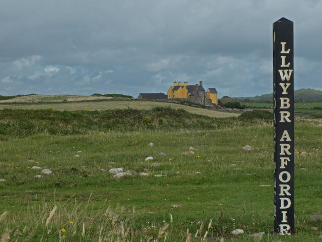
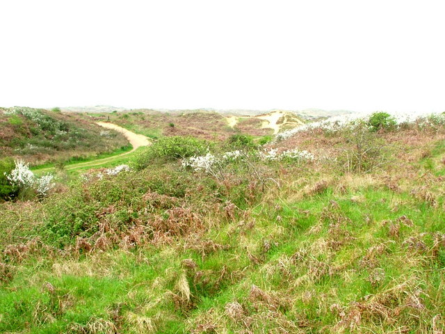
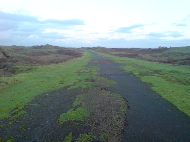
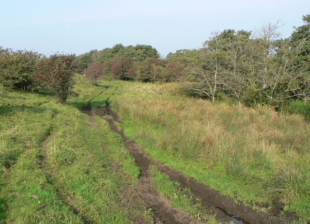
The natural surroundings of Cornelly are characterized by rolling hills and picturesque landscapes. The community is located near the coast, with popular seaside destinations such as Porthcawl just a short drive away. Outdoor enthusiasts can enjoy various recreational activities, including hiking, cycling, and water sports.
Overall, Cornelly offers a peaceful and family-friendly environment with a range of amenities and convenient access to major urban centers.
If you have any feedback on the listing, please let us know in the comments section below.
Cornelly Images
Images are sourced within 2km of 51.517323/-3.721026 or Grid Reference SS8081. Thanks to Geograph Open Source API. All images are credited.


Cornelly is located at Grid Ref: SS8081 (Lat: 51.517323, Lng: -3.721026)
Unitary Authority: Bridgend
Police Authority: South Wales
Also known as: Corneli
What 3 Words
///profiled.crib.topical. Near Pyle, Bridgend
Related Wikis

Kenfig
Kenfig (Welsh: Cynffig) is a village and former borough in Bridgend, Wales. It is situated 1 mile (1.6 km) inland on the north bank of the Bristol Channel...

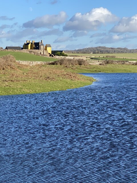
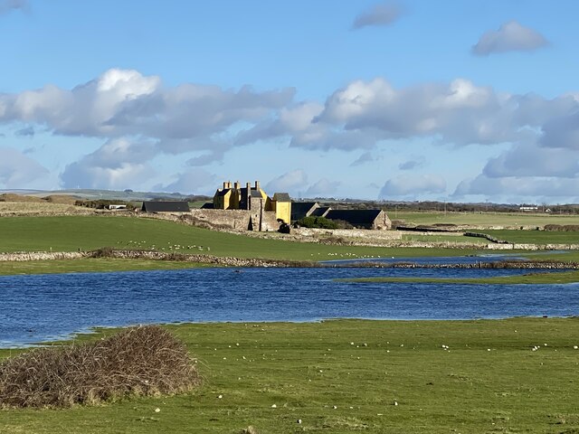
Kenfig Pool
Kenfig Pool (Welsh: Pwll Cynffig) is a national nature reserve situated near Porthcawl, Bridgend. Wild storms and huge tides between the 13th and 15th...
North Cornelly
North Cornelly (Welsh: Gogledd Corneli) is a village in Cornelly, Bridgend county borough, Wales. The village is close to South Cornelly, adjoins Pyle...
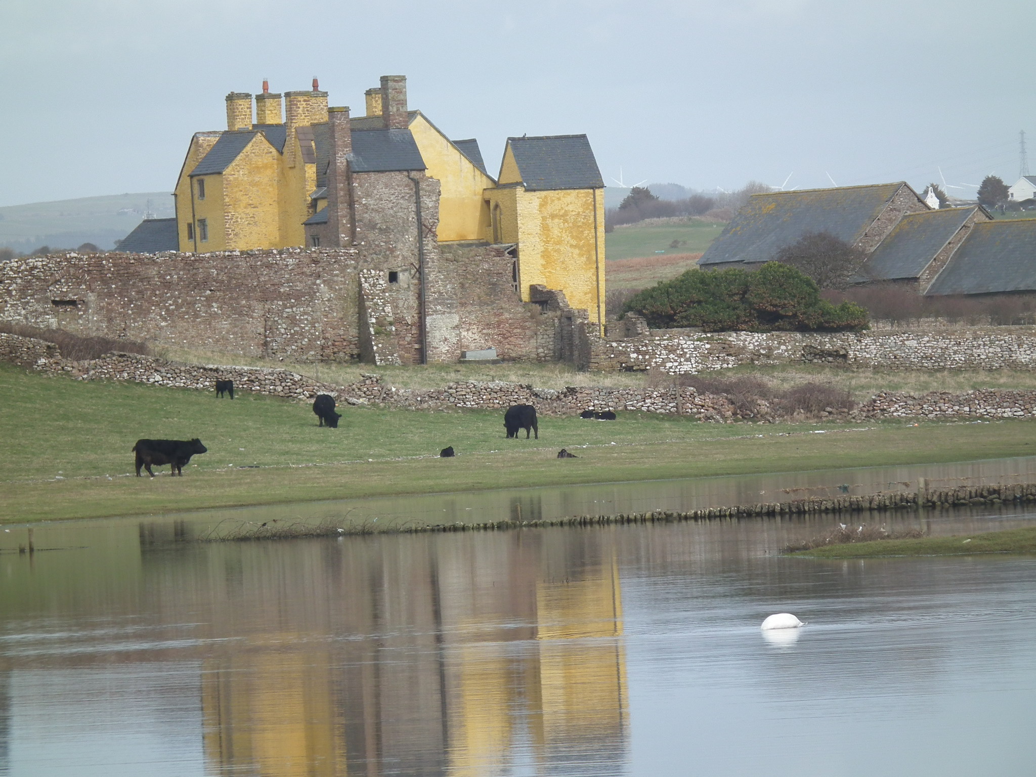
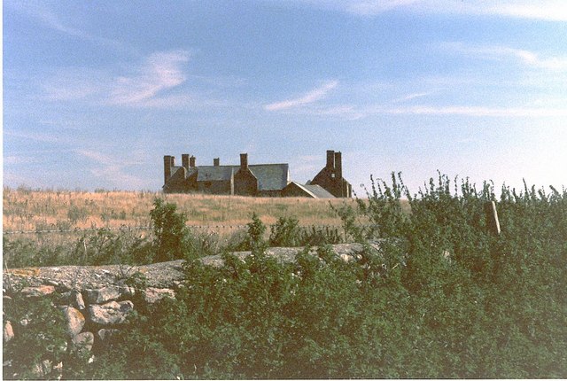
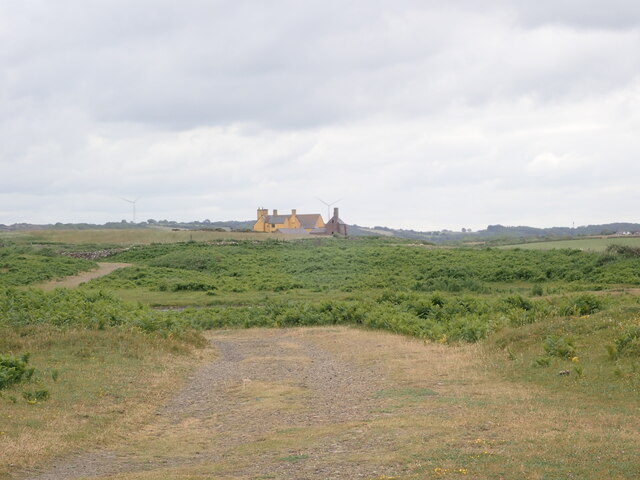
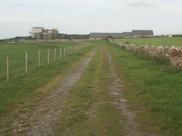
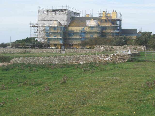
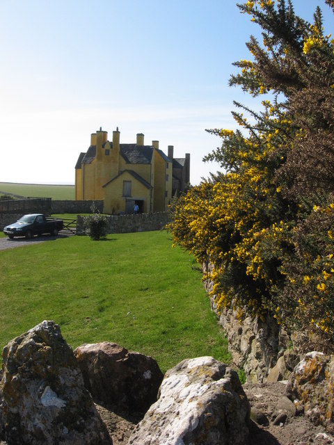
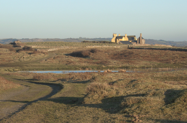
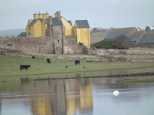
Sker House
Sker House is a historic building in Wales. Originally built as a monastic grange of the Cistercian order over 900 years ago, it is situated just outside...
Cornelly
Cornelly (Welsh: Corneli) is a community and electoral ward in Bridgend County Borough, South Wales. As of 2011 the population of the Cornelly ward was...
South Cornelly
South Cornelly (Welsh: Corneli Waelod) is a village in Cornelly, Bridgend county borough, Wales. The village is close to North Cornelly, Pyle and Porthcawl...

Kenfig Castle
Kenfig Castle (Welsh: Castell Cynffig) is a ruined castle in Bridgend County Borough in Wales that came to prominence after the Anglo-Norman invasion of...
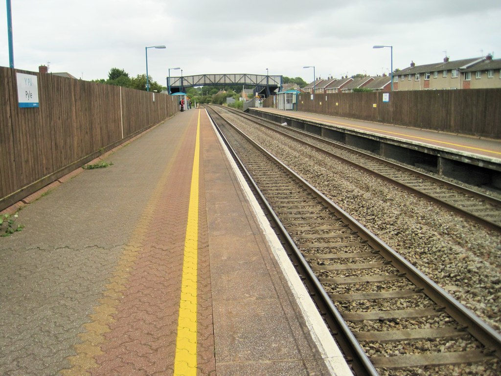
Pyle railway station
Pyle railway station is a minor station in Pyle (Welsh: Y Pîl) in Bridgend county borough, south Wales. The station is located at street level at Beach...
Nearby Amenities
Located within 500m of 51.517323,-3.721026Have you been to Cornelly?
Leave your review of Cornelly below (or comments, questions and feedback).