Coed Cwm-y-gôf
Wood, Forest in Merionethshire
Wales
Coed Cwm-y-gôf
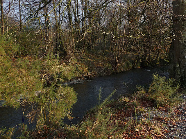
Coed Cwm-y-gôf, located in Merionethshire, Wales, is a captivating woodland area that spans across a vast expanse of approximately 300 acres. Nestled within the Snowdonia National Park, this enchanting forest is renowned for its natural beauty and rich biodiversity.
The woodland is primarily composed of a mix of deciduous and coniferous trees, including oak, beech, birch, and pine. These towering trees create a dense canopy that filters the sunlight and creates a tranquil atmosphere within the forest. The forest floor is adorned with a variety of flora, such as bluebells, wild garlic, and ferns, providing a colorful display throughout the seasons.
Coed Cwm-y-gôf is not only a visual spectacle but also a haven for wildlife. The forest provides a habitat for a diverse range of species, including deer, foxes, badgers, and numerous bird species. Birdwatchers can spot buzzards, woodpeckers, and even the elusive red kite soaring above the treetops.
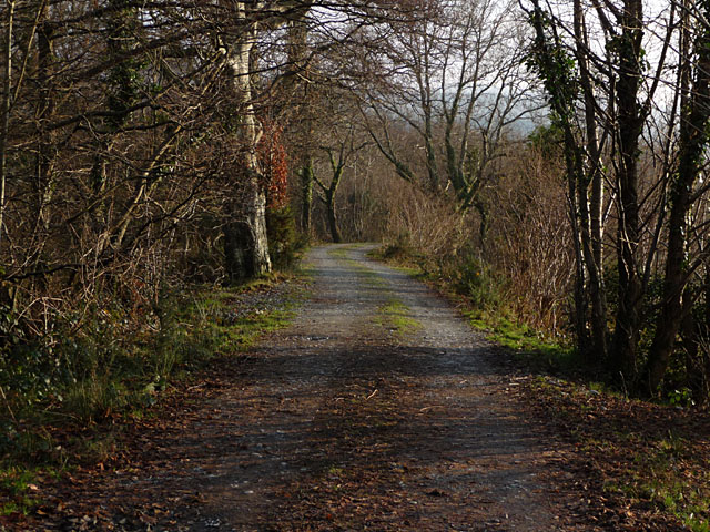
The woodland offers a network of well-maintained walking trails that allow visitors to explore its wonders. These paths wind through the forest, offering glimpses of picturesque streams, charming waterfalls, and breathtaking viewpoints. The tranquility of the surroundings makes Coed Cwm-y-gôf a popular destination for nature lovers, hikers, and photographers seeking to capture the beauty of the Welsh countryside.
Ultimately, Coed Cwm-y-gôf in Merionethshire is a nature lover's paradise, offering a captivating blend of scenic beauty, diverse wildlife, and peaceful serenity. Whether you seek solitude or an immersive outdoor experience, this woodland gem is sure to leave a lasting impression.
If you have any feedback on the listing, please let us know in the comments section below.
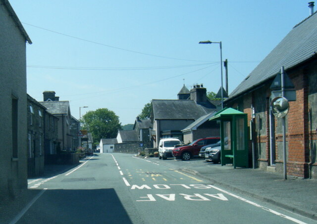
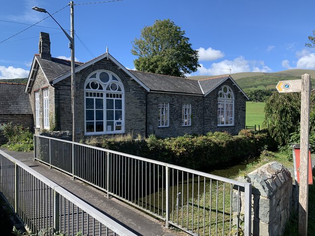
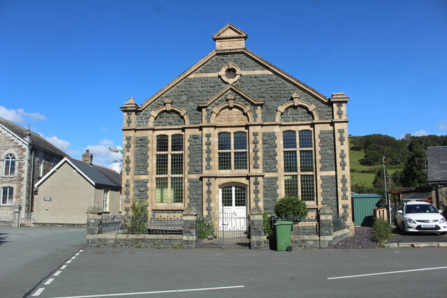
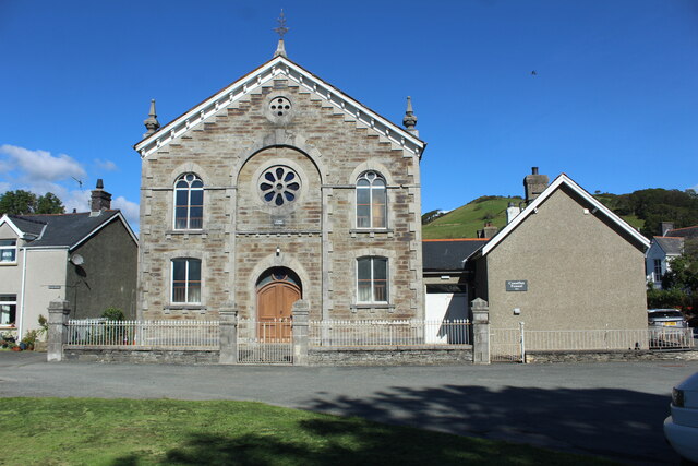
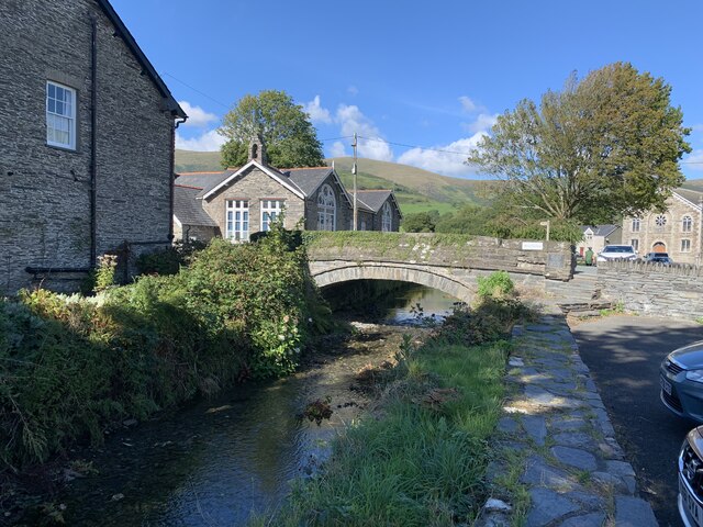
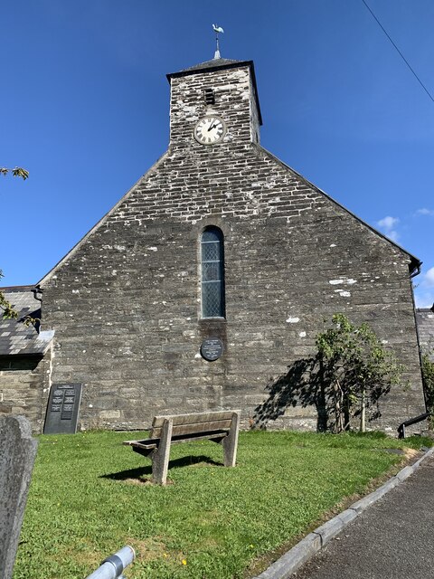
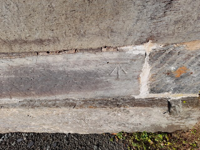
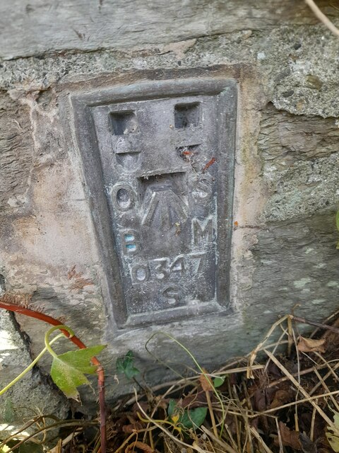
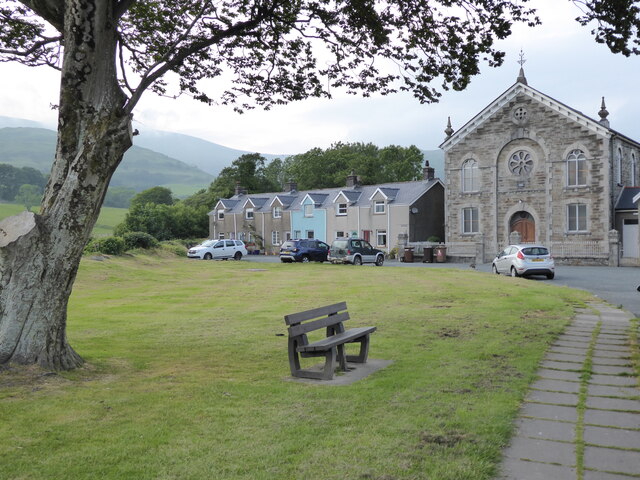
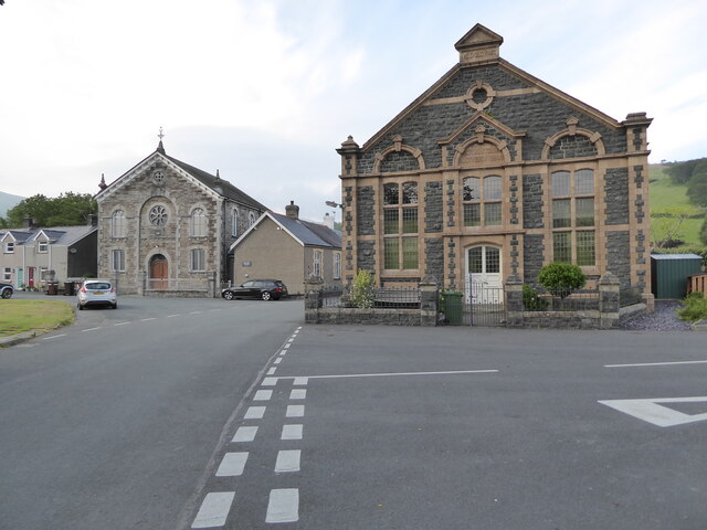
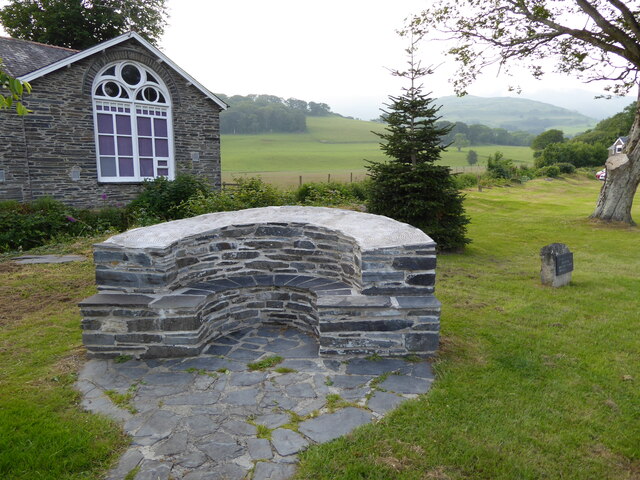
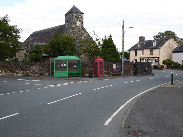
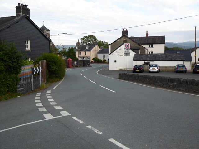
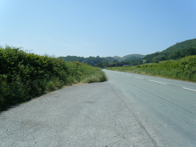
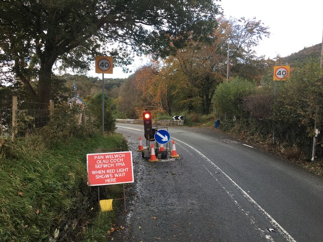
Coed Cwm-y-gôf Images
Images are sourced within 2km of 52.590455/-3.9444444 or Grid Reference SH6800. Thanks to Geograph Open Source API. All images are credited.
Coed Cwm-y-gôf is located at Grid Ref: SH6800 (Lat: 52.590455, Lng: -3.9444444)
Unitary Authority: Gwynedd
Police Authority: North Wales
What 3 Words
///anyway.braked.snowy. Near Machynlleth, Powys
Nearby Locations
Related Wikis

Cwm Ebol quarry
The Cwm Ebol quarry (also known as Cwmebol quarry) was a slate quarry about 1 mile (1.6 km) north west of the village of Pennal in Mid Wales. It operated...
Pennal
Pennal is a village and community on the A493 road in southern Gwynedd, Wales, on the north bank of the River Dyfi, near Machynlleth. It lies in the historic...

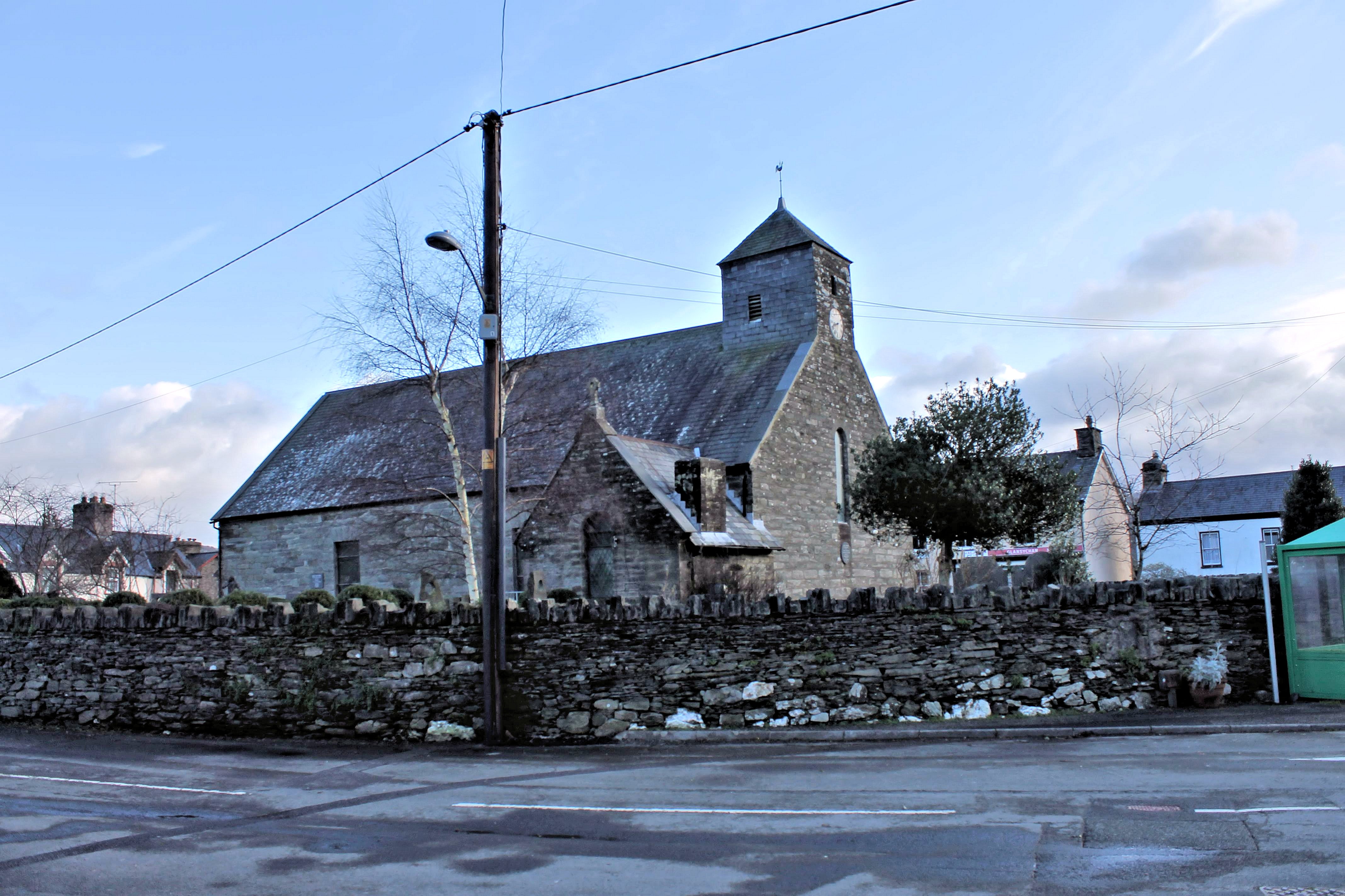
St Peter ad Vincula, Pennal
The parish church of St Peter ad Vincula (meaning Saint Peter in Chains) in the village of Pennal in Gwynedd, north-west Wales, is notable as the site...
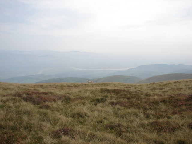
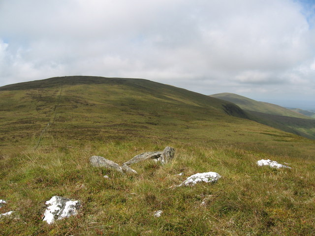
Mynydd Esgairweddan
Mynydd Esgairweddan is a hill near Pennal in southern Gwynedd, Wales (grid reference SH6702). Nearby is the tiny settlement of Esgairweddan. It is very...

Llugwy Hall
Llugwy is the name of an old property near Pennal, a village on the A493 road in southern Gwynedd, Wales, on the north bank of the Afon Dyfi/River Dovey...

Cors Dyfi nature reserve
Cors Dyfi is a nature reserve located near to the village of Derwenlas, in the county of Powys, Wales. Located on land reclaimed from the Estuary on the...
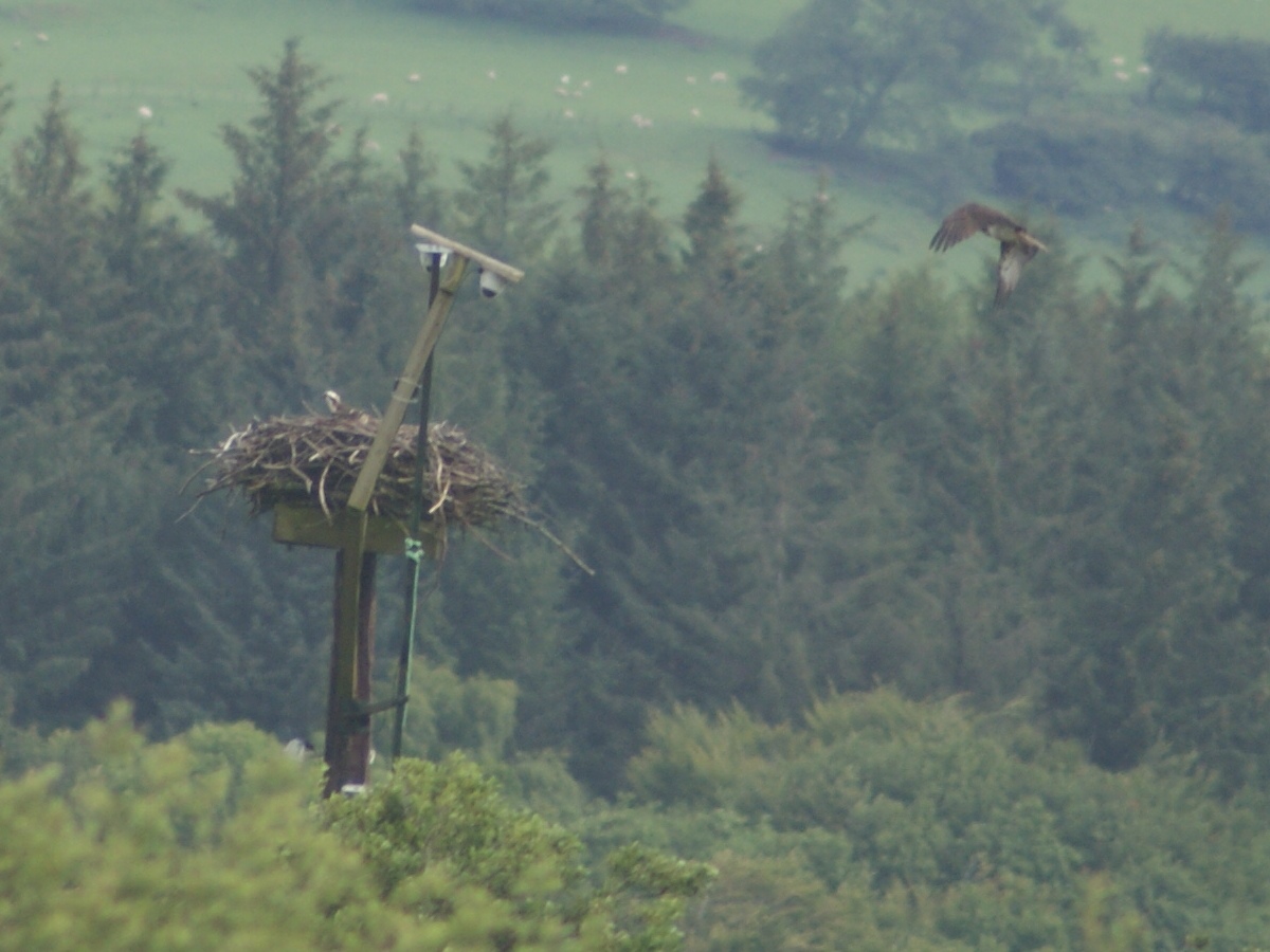
Dyfi Osprey Project
The Dyfi Osprey Project is a conservation project at the Cors Dyfi nature reserve near Derwenlas, in the county of Powys, Wales, under the management of...

Tarrenhendre
Tarrenhendre is a mountain in Snowdonia, North Wales. It is one of the Marilyns in the Cadair Idris group. Lying to the south of Cadair Idris, it and...
Related Videos
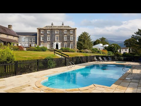
Macdonald Plas Talgarth Self-Catering Resort, Snowdonia | Macdonald Hotels & Resorts
Plas Talgarth self-catering resort is located at the southern tip of Snowdonia National Park, and 15 minutes from the pretty coastal ...
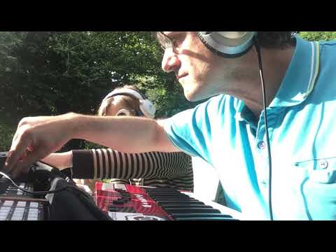
Holiday Jam with Entrapta_Iruma (Live Synth Jam)
The challenge this weekend was to involve someone else. I managed to rope in my lovely daughter to play the voice of Hatsune ...
Nearby Amenities
Located within 500m of 52.590455,-3.9444444Have you been to Coed Cwm-y-gôf?
Leave your review of Coed Cwm-y-gôf below (or comments, questions and feedback).