Cwrt
Settlement in Merionethshire
Wales
Cwrt
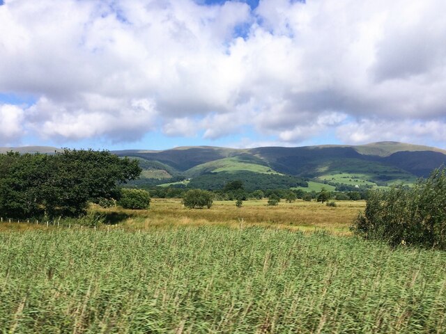
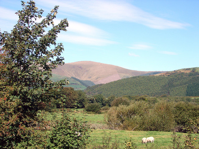
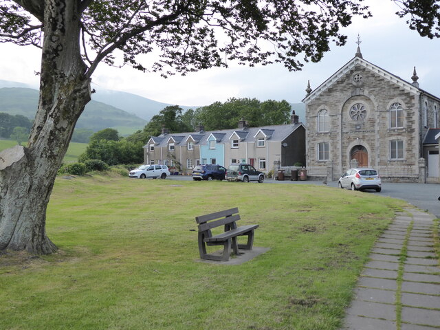
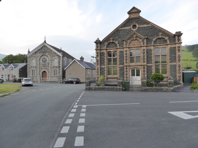
Cwrt is a small village located in the historical county of Merionethshire, now part of the modern county of Gwynedd, in Wales, United Kingdom. It is situated in the beautiful Dyfi Valley, surrounded by rolling hills and picturesque landscapes.
With a population of around 300 residents, Cwrt exudes a tranquil and close-knit community atmosphere. The village is well-preserved, showcasing traditional Welsh architecture and a rich cultural heritage. Many of the houses are made from local stone, adding to the village's charm.
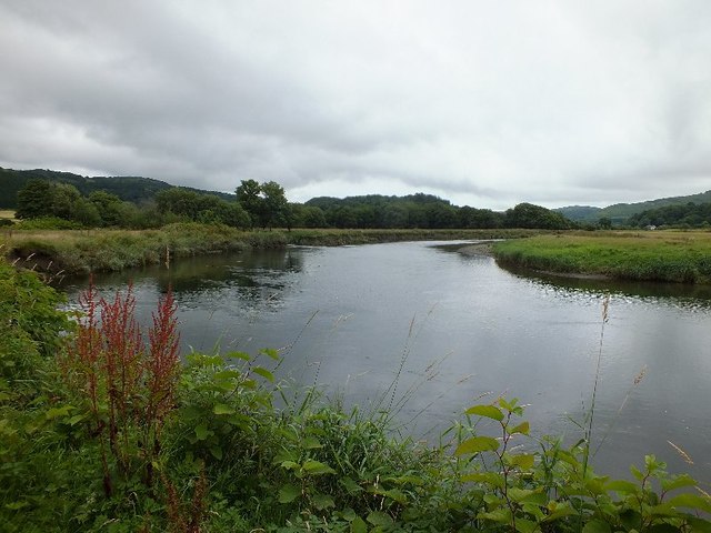
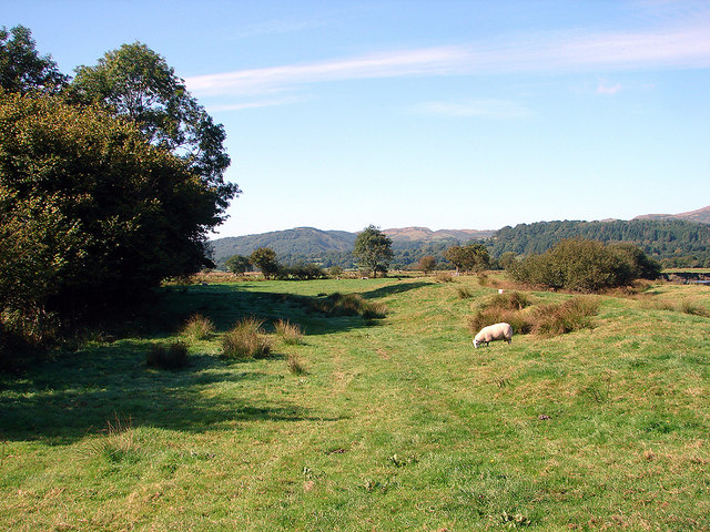
Cwrt is blessed with natural beauty, offering its residents and visitors a peaceful and idyllic setting. The nearby River Dyfi runs through the village, providing opportunities for fishing and leisurely walks along its banks. The surrounding countryside is perfect for hikers and nature enthusiasts, with a variety of trails and pathways to explore.
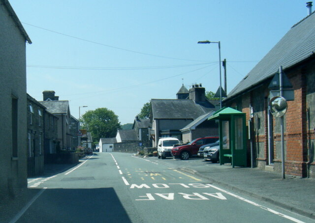
Despite its small size, Cwrt boasts a few amenities to cater to the needs of its residents, including a village hall and a small shop for daily essentials. However, for more extensive services, residents often rely on nearby towns such as Machynlleth or Dolgellau.
The village's location makes it an ideal base for those looking to explore the wider region. It is within reasonable driving distance of popular attractions such as Snowdonia National Park, the stunning beaches of Cardigan Bay, and the historic market town of Machynlleth, known for its annual arts festival.
In summary, Cwrt is a serene and picturesque village in Merionethshire, Wales, offering a peaceful lifestyle amidst stunning natural surroundings.
If you have any feedback on the listing, please let us know in the comments section below.
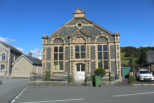
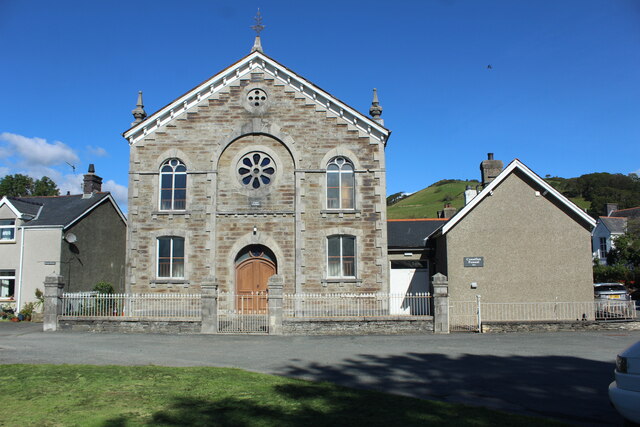
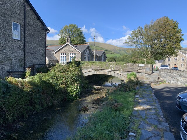
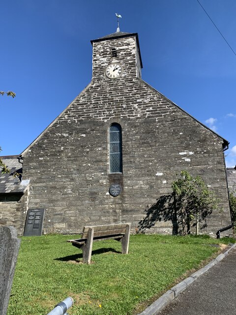
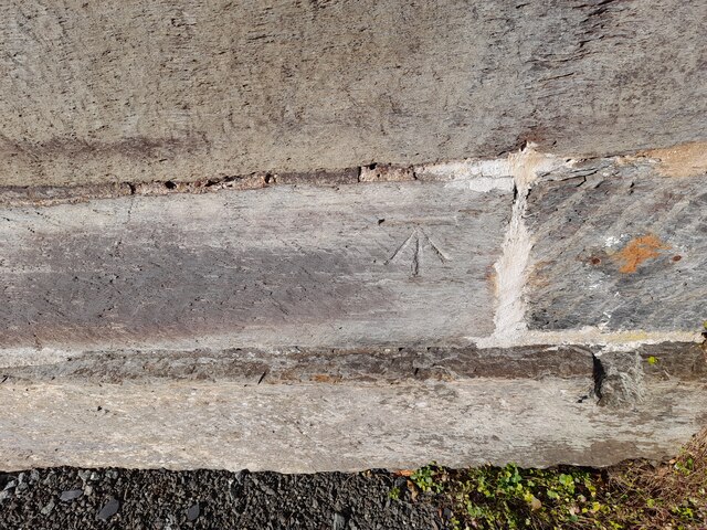
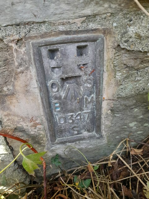
Cwrt Images
Images are sourced within 2km of 52.582834/-3.936276 or Grid Reference SH6800. Thanks to Geograph Open Source API. All images are credited.

Cwrt is located at Grid Ref: SH6800 (Lat: 52.582834, Lng: -3.936276)
Unitary Authority: Gwynedd
Police Authority: North Wales
What 3 Words
///estate.pixies.jolt. Near Machynlleth, Powys
Nearby Locations
Related Wikis
Pennal
Pennal is a village and community on the A493 road in southern Gwynedd, Wales, on the north bank of the River Dyfi, near Machynlleth. It lies in the historic...

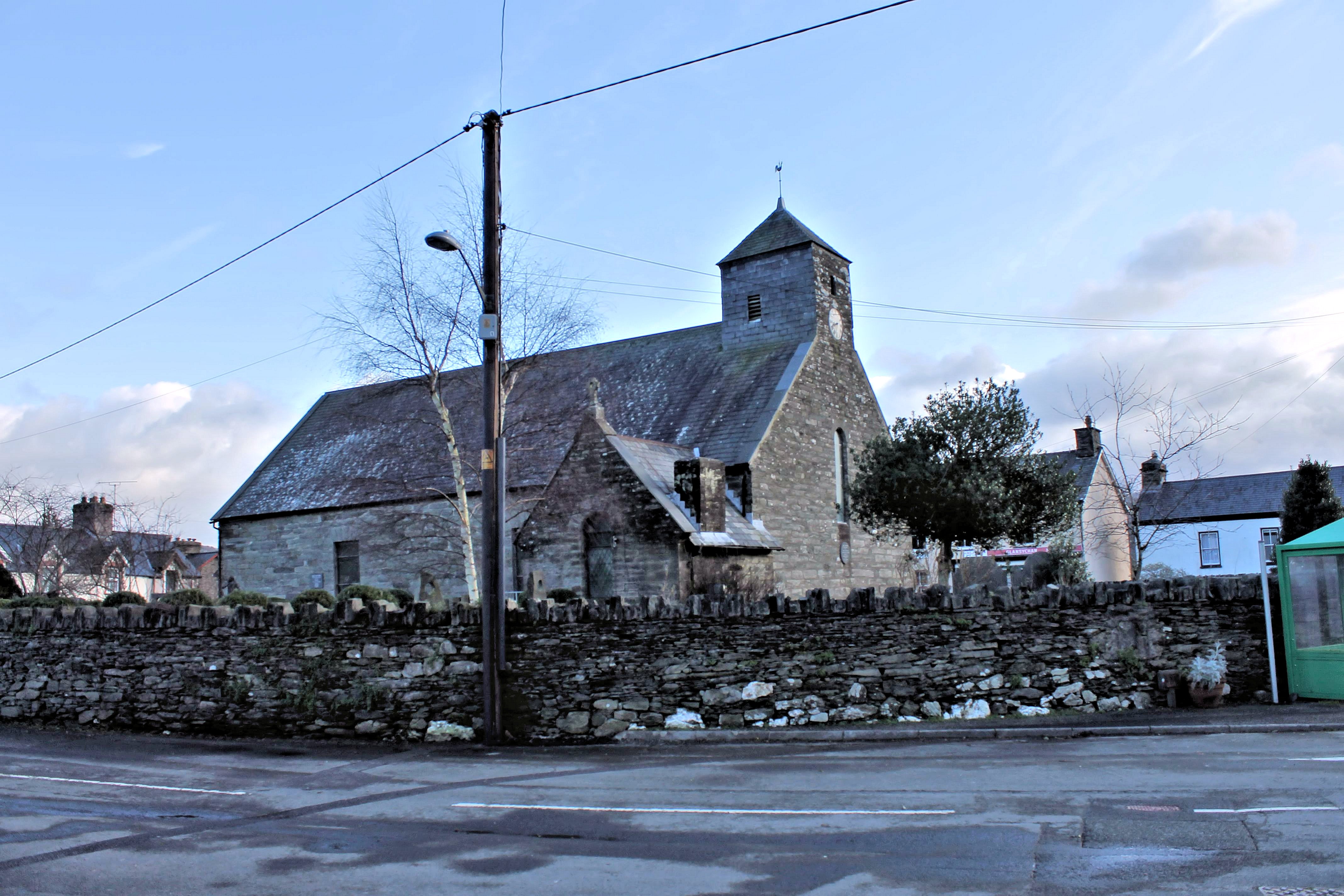
St Peter ad Vincula, Pennal
The parish church of St Peter ad Vincula (meaning Saint Peter in Chains) in the village of Pennal in Gwynedd, north-west Wales, is notable as the site...

Cwm Ebol quarry
The Cwm Ebol quarry (also known as Cwmebol quarry) was a slate quarry about 1 mile (1.6 km) north west of the village of Pennal in Mid Wales. It operated...

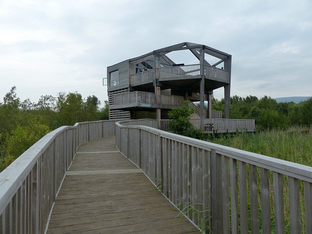
Cors Dyfi nature reserve
Cors Dyfi is a nature reserve located near to the village of Derwenlas, in the county of Powys, Wales. Located on land reclaimed from the Estuary on the...
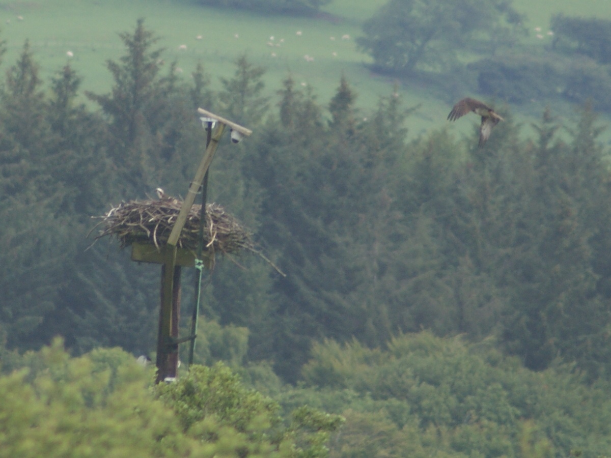
Dyfi Osprey Project
The Dyfi Osprey Project is a conservation project at the Cors Dyfi nature reserve near Derwenlas, in the county of Powys, Wales, under the management of...

Dovey Junction railway station
Dovey Junction ( DUH-vee-; Welsh: Cyffordd Dyfi) is a railway station on the Cambrian Line in Wales. It is the junction where the line splits into the...

Morben
Morben is a hamlet in northern Powys, Wales. Part of the historic county of Montgomeryshire (Sir Drefaldwyn) from 1536 to 1974, it lies on the Afon Dyfi...

Llugwy Hall
Llugwy is the name of an old property near Pennal, a village on the A493 road in southern Gwynedd, Wales, on the north bank of the Afon Dyfi/River Dovey...
Nearby Amenities
Located within 500m of 52.582834,-3.936276Have you been to Cwrt?
Leave your review of Cwrt below (or comments, questions and feedback).