Cold Lands Wood
Wood, Forest in Warwickshire
England
Cold Lands Wood
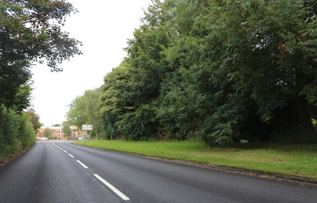
Cold Lands Wood is a picturesque forest located in the county of Warwickshire, England. Spanning over 100 acres, this enchanting woodland is renowned for its natural beauty, diverse wildlife, and tranquil atmosphere.
The forest is predominantly composed of ancient oak and beech trees, which provide a dense canopy, creating a shaded and cool environment. The trees are interspersed with a variety of native flora, including bluebells, wild garlic, and ferns, adding color and vibrancy to the landscape. The forest floor is carpeted with moss and fallen leaves, creating a soft and inviting path for visitors to explore.
Cold Lands Wood is home to a rich array of wildlife, making it a haven for nature enthusiasts and birdwatchers alike. Species such as deer, foxes, badgers, and rabbits can often be observed roaming freely within the woodland. The forest is also a haven for birdlife, with sightings of woodpeckers, owls, and various songbirds being common.
Several well-maintained walking trails wind their way through the forest, providing visitors with the opportunity to immerse themselves in nature and enjoy the peaceful surroundings. These trails offer varying degrees of difficulty, catering to both casual strollers and more experienced hikers.
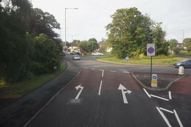
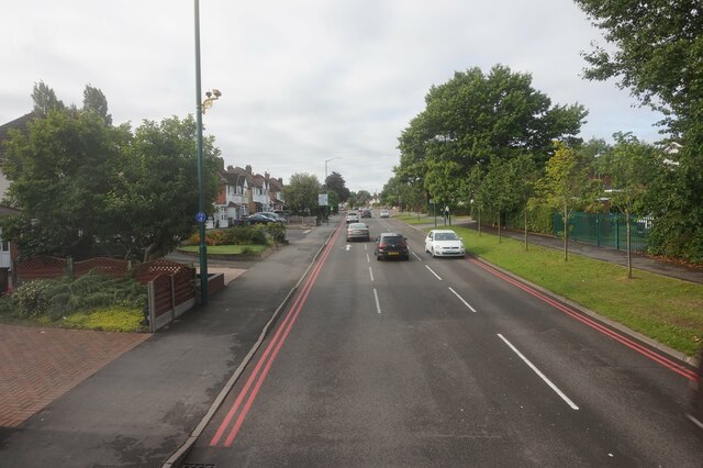
Situated in a rural area, Cold Lands Wood provides a welcome escape from the hustle and bustle of city life. Its idyllic setting and natural beauty make it a popular destination for nature lovers, photographers, and families seeking a day out in the countryside. Whether one is seeking solitude, a leisurely stroll, or a chance to connect with nature, Cold Lands Wood offers a captivating experience for all who visit.
If you have any feedback on the listing, please let us know in the comments section below.
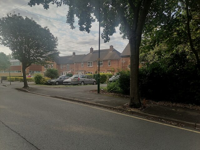
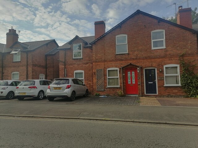
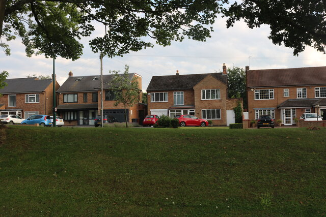
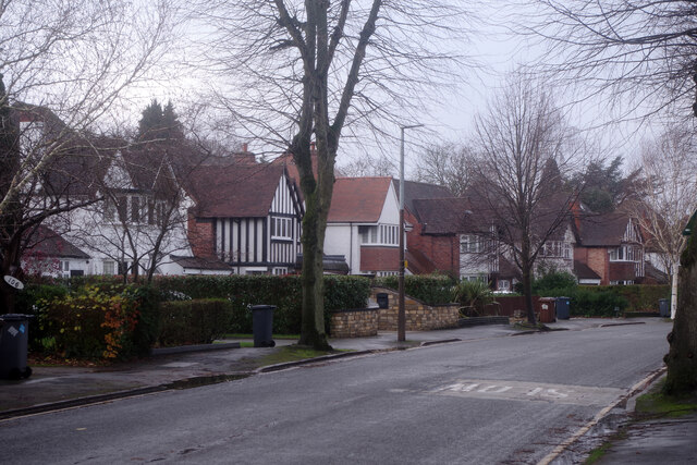
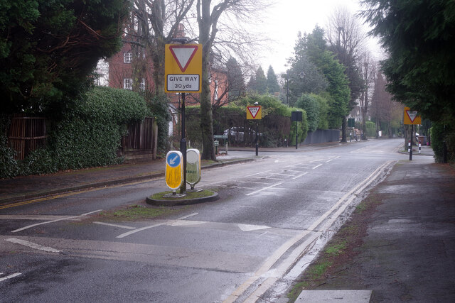
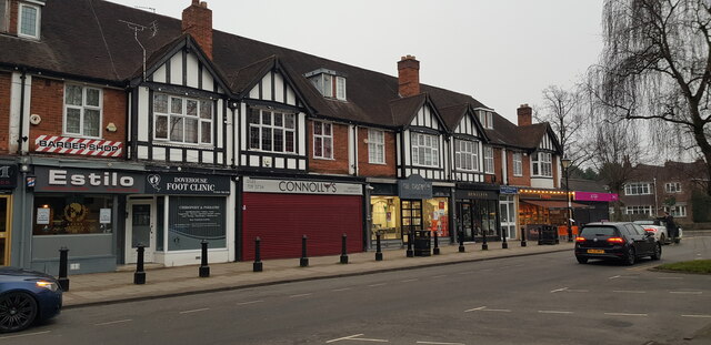
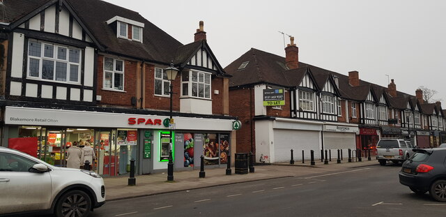
Cold Lands Wood Images
Images are sourced within 2km of 52.423449/-1.7872885 or Grid Reference SP1480. Thanks to Geograph Open Source API. All images are credited.


Cold Lands Wood is located at Grid Ref: SP1480 (Lat: 52.423449, Lng: -1.7872885)
Unitary Authority: Solihull
Police Authority: West Midlands
What 3 Words
///quit.minds.learn. Near Solihull, West Midlands
Nearby Locations
Related Wikis
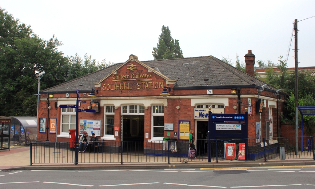
Solihull railway station
Solihull railway station serves the market town of Solihull in the West Midlands of England. The station is served by West Midlands Trains and Chiltern...
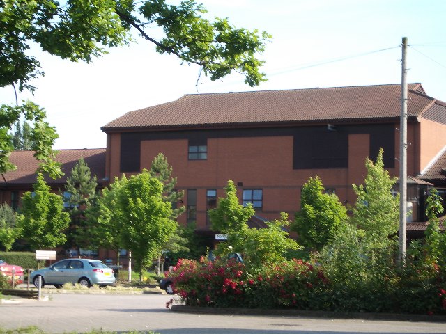
Solihull Hospital
Solihull Hospital is an acute general hospital in Solihull, West Midlands, England. It is managed by University Hospitals Birmingham NHS Foundation Trust...

Old Council House, Solihull
The Old Council House is a former municipal building in Poplar Road, Solihull, West Midlands, England. The town hall, which was the meeting place of Solihull...

Touchwood, Solihull
Touchwood is a shopping centre in Solihull, West Midlands, England. == History == Opened in 2001 and costing £110 million to build, the centre was built...
Solihull
Solihull ( SO(H)L-ee-hul, SOH-lee-HUL) is a large market town and the administrative centre of the Metropolitan Borough of Solihull, in the West Midlands...

Olton & West Warwickshire Hockey Club
Olton & West Warwickshire Hockey Club (Olton & West Warwick for short) is a field hockey club based at the West Warwickshire Sports Club in Grange Road...

Solihull plant
Solihull plant is a car manufacturing factory in Lode Lane, Lode Heath, Solihull, UK, owned by Jaguar Land Rover. The plant sits on a 300-acre (120 ha...

Olton Reservoir
Olton Reservoir or Olton Mere (grid reference SP134815) is a canal feeder reservoir in the Olton district of Solihull, West Midlands, England. The reservoir...
Nearby Amenities
Located within 500m of 52.423449,-1.7872885Have you been to Cold Lands Wood?
Leave your review of Cold Lands Wood below (or comments, questions and feedback).