West Agra Plantation

Wood, Forest in Yorkshire Harrogate

England

West Agra Plantation

Marginal land at Towler Hill Rough grazing and sheep pasture close to Towler Hill farm. The view is north towards West Agra Plantation overlooking Colsterdale.
Marginal land at Towler Hill Credit: Gordon Hatton

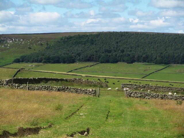
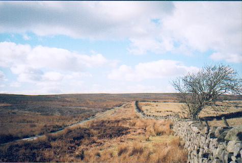
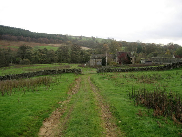
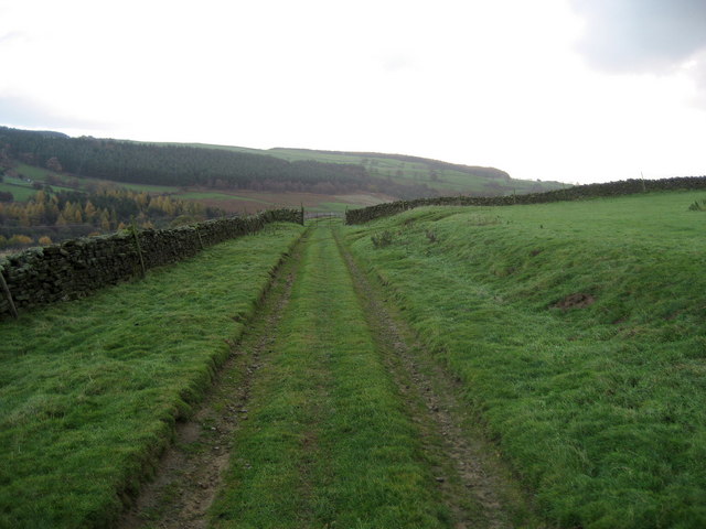
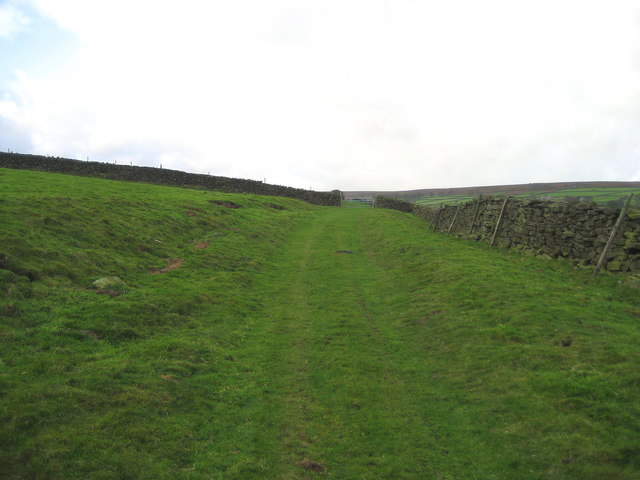
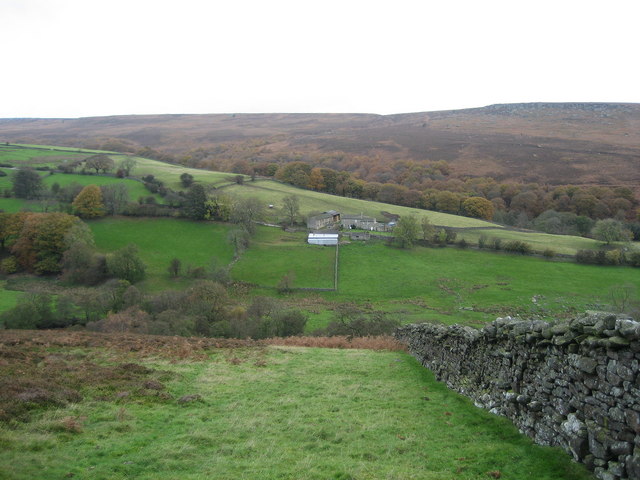
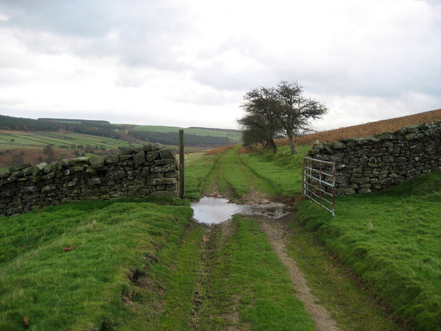
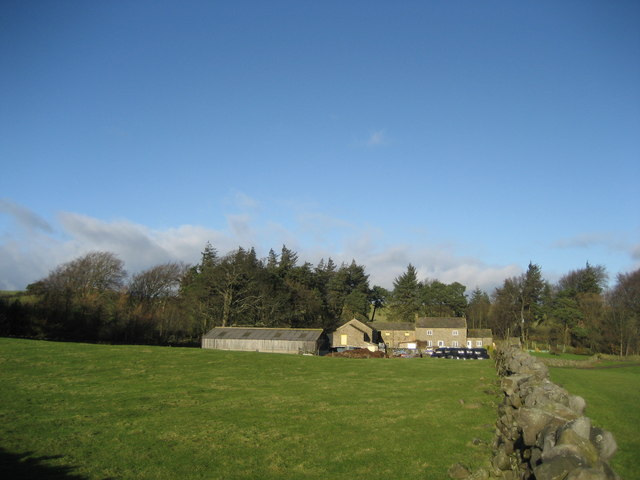
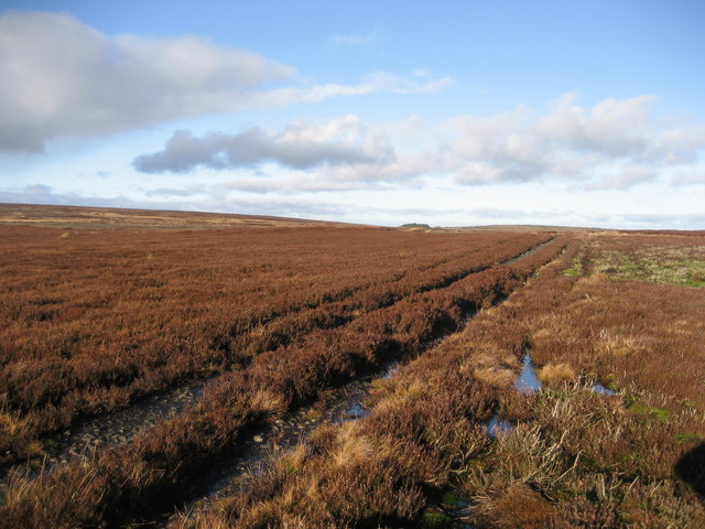
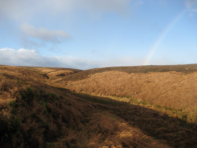
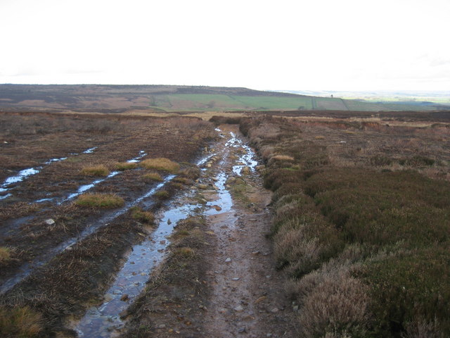
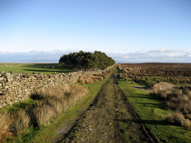
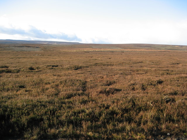
West Agra Plantation, located in Yorkshire, England, is a sprawling woodland area known for its picturesque beauty and rich biodiversity. Spanning over several hundred acres, it is nestled in the heart of the Yorkshire countryside, offering a serene and idyllic escape for nature enthusiasts and hikers alike.

The plantation boasts a diverse range of tree species, including oak, beech, and ash, which create a dense canopy that provides shade and shelter for various flora and fauna. The forest floor is carpeted with an array of wildflowers, mosses, and ferns, adding to its natural charm.

Visitors can explore a network of well-maintained footpaths that wind through the woodland, offering breathtaking views of the surrounding countryside. The paths are suitable for all abilities, making it accessible to families, walkers, and cyclists. Along the way, visitors may encounter an array of wildlife, such as deer, rabbits, and a variety of bird species. Nature enthusiasts can enjoy birdwatching, and if lucky, catch a glimpse of rare species, including the Eurasian woodcock and the lesser spotted woodpecker.

West Agra Plantation also offers opportunities for outdoor recreational activities. There are designated picnic areas where visitors can enjoy a leisurely lunch surrounded by the beauty of nature. Additionally, the plantation has a well-maintained playground, making it an ideal destination for families with children.

Overall, West Agra Plantation in Yorkshire is a haven for nature lovers, providing a tranquil escape from the hustle and bustle of daily life. With its stunning landscapes, diverse flora and fauna, and recreational amenities, it is a must-visit destination for those seeking a rejuvenating outdoor experience.

If you have any feedback on the listing, please let us know in the comments section below.

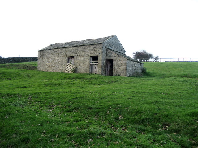
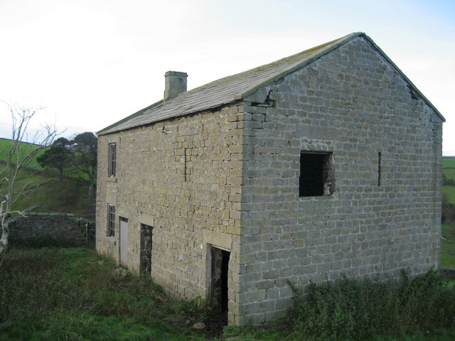
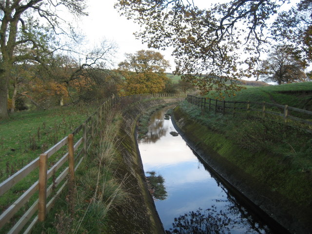
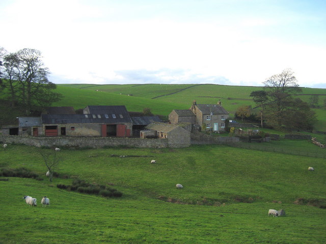
West Agra Plantation Images

Images are sourced within 2km of 54.232136/-1.7781393 or Grid Reference SE1481. Thanks to Geograph Open Source API. All images are credited.

Marginal land at Towler Hill Rough grazing and sheep pasture close to Towler Hill farm. The view is north towards West Agra Plantation overlooking Colsterdale.
Marginal land at Towler Hill
Rough grazing and sheep pasture close to Towler Hill farm. The view is north towards West Agra Plantation overlooking Colsterdale.
Track over Witton Moor Much of Witton Moor is now open access land, with this track being the best approach.
Track over Witton Moor
Much of Witton Moor is now open access land, with this track being the best approach.
Gollinglith Foot from Coal Road Looking east towards a residence in the hamlet of Gollinglith Foot by the infant River Burn
Gollinglith Foot from Coal Road
Looking east towards a residence in the hamlet of Gollinglith Foot by the infant River Burn
Coal Road (East 1) Ancient track used for the transportation of coal off Colsterdale Moor
Coal Road (East 1)
Ancient track used for the transportation of coal off Colsterdale Moor
Coal Road (East 2) Ancient track used for the transportation of coal off Colsterdale Moor
Coal Road (East 2)
Ancient track used for the transportation of coal off Colsterdale Moor
Low Houses The farmstead and surrounding area of Colsterdale as seen from below the Coal Road, with Agra Moor in the background
Low Houses
The farmstead and surrounding area of Colsterdale as seen from below the Coal Road, with Agra Moor in the background
Coal Road (Central) Ancient track used for the transportation of coal.  An excellent walk along this track can be enjoyed with wonderful views over Colsterdale to the north
Coal Road (Central)
Ancient track used for the transportation of coal. An excellent walk along this track can be enjoyed with wonderful views over Colsterdale to the north
Gollinglith Foot Hamlet beside the River Burn, whose services include a letter box and telephone kiosk
Gollinglith Foot
Hamlet beside the River Burn, whose services include a letter box and telephone kiosk
Stone Barn, Colsterdale One of several in the scattered community of Colsterdale
Stone Barn, Colsterdale
One of several in the scattered community of Colsterdale
Pickersgill House Abandoned residence not far from the Leeds Pals War Memorial
Pickersgill House
Abandoned residence not far from the Leeds Pals War Memorial
Water Channel by Spout House Substantial water channel connected to Spruce Gill Beck, which seems out of place in such a remote area
Water Channel by Spout House
Substantial water channel connected to Spruce Gill Beck, which seems out of place in such a remote area
Spout House Farm Farmstead near Gollinglith Foot in Colsterdale
Spout House Farm
Farmstead near Gollinglith Foot in Colsterdale
Tranmire Isolated farmstead surrounded by enclosed pastures, which are themselves surrounded by moorland - like an island
Tranmire
Isolated farmstead surrounded by enclosed pastures, which are themselves surrounded by moorland - like an island
Track over Agra Moor Part of the way that leads from Colsterdale to East Witton in Wensleydale - at this point on windswept Agra Moor
Track over Agra Moor
Part of the way that leads from Colsterdale to East Witton in Wensleydale - at this point on windswept Agra Moor
Watercourse below Tranmire Hill Following this gill upstream to its source on Agra Moor - the rainbow is a bonus, but not a geograph (wrong square).
Watercourse below Tranmire Hill
Following this gill upstream to its source on Agra Moor - the rainbow is a bonus, but not a geograph (wrong square).
Track across Witton Moor Not marked on your map, but it is there. Part of a track that runs from Colsterdale over Agra and Witton Moor, and then down to East Witton in Wensleydale
Track across Witton Moor
Not marked on your map, but it is there. Part of a track that runs from Colsterdale over Agra and Witton Moor, and then down to East Witton in Wensleydale
Track beside Witton Moor This track follows the northern boundary of Witton Moor, at this point approaching East Belt Plantation
Track beside Witton Moor
This track follows the northern boundary of Witton Moor, at this point approaching East Belt Plantation
Agra Moor Wide open and windswept moorland landscape
Agra Moor
Wide open and windswept moorland landscape
Show me another place!

West Agra Plantation is located at Grid Ref: SE1481 (Lat: 54.232136, Lng: -1.7781393)

Division: North Riding

Administrative County: North Yorkshire

District: Harrogate

Police Authority: North Yorkshire

What 3 Words

///fairy.tarred.condense. Near Masham, North Yorkshire

Nearby Locations

West Agra Plantation

Related Wikis

Gollinglith Foot

Gollinglith Foot (GOWN-li FOOT), historically also spelt Gownley Foot, is a hamlet in the civil parish of Healey in the Harrogate district of North Yorkshire...

Colsterdale

Colsterdale is the valley of the River Burn, a tributary of the River Ure, in the Yorkshire Dales in North Yorkshire, England. It gives its name to a hamlet...

Leighton, North Yorkshire

Leighton is a hamlet in the civil parish of Healey in the Harrogate district of North Yorkshire, England. It is near Leighton Reservoir that provides for...

Ellingstring

Ellingstring is a village and civil parish in Wensleydale in North Yorkshire, England, about 5 miles (8 km) south-east of Leyburn, and 3.5 miles (5.6 km...

Leighton Reservoir

Leighton Reservoir is a reservoir which drains via the River Burn to the River Ure in North Yorkshire, England. It neighbours Roundhill Reservoir and is...

Healey, North Yorkshire

Healey is a small village and civil parish in the Harrogate district of North Yorkshire, England. It is situated in the valley of the River Burn, to the...

East Witton

East Witton is a village and civil parish in Wensleydale in North Yorkshire, England. It lies south of Leyburn, in the Richmondshire district. Richard...

Jervaulx Abbey

Jervaulx Abbey in East Witton in North Yorkshire, 14 mi (23 km) north-west of the city of Ripon, was one of the great Cistercian abbeys of Yorkshire, England...

Nearby Amenities

Located within 500m of 54.232136,-1.7781393
Agra Moor
Natural: moor
Source: NPE
Lat/Long: 54.2354817/-1.7742612
Building: yes
Lat/Long: 54.2298641/-1.7790594
Power: pole
Lat/Long: 54.2281048/-1.7801224
Power: pole
Lat/Long: 54.2288385/-1.7799826
Power: pole
Lat/Long: 54.229863/-1.779768
The data included in this document is from www.openstreetmap.org. The data is made available under ODbL.

Have you been to West Agra Plantation?

Leave your review of West Agra Plantation below (or comments, questions and feedback).