Water Eaton Copse

Wood, Forest in Wiltshire

England

Water Eaton Copse

Roadside Wildflowers, Droveway Lane Another view of this quiet country lane which crosses the north east corner of SU1494.
The map shows the south of the square is occupied by a large solar farm.
Roadside Wildflowers, Droveway Lane Credit: Des Blenkinsopp

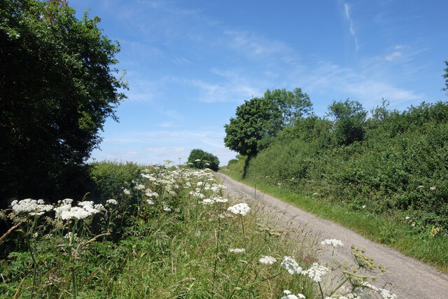
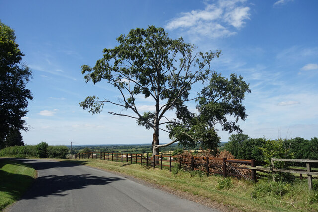
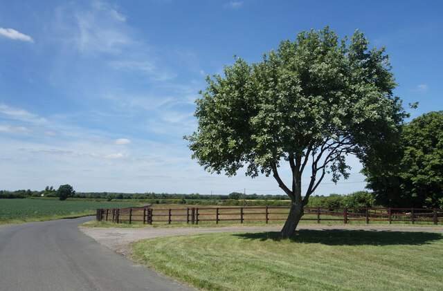
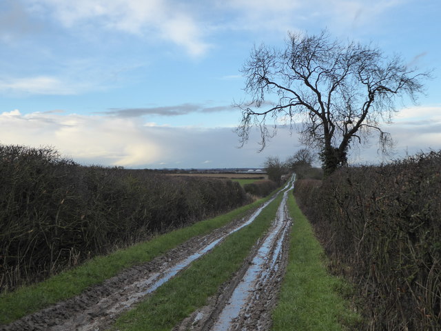
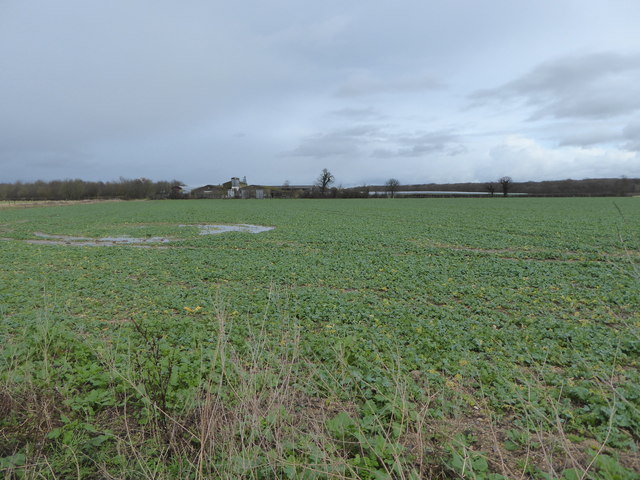
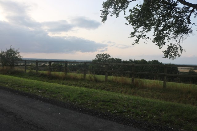
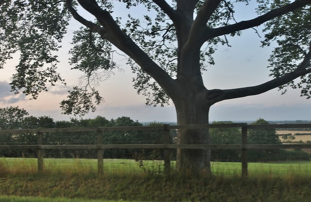
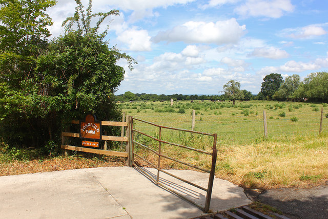
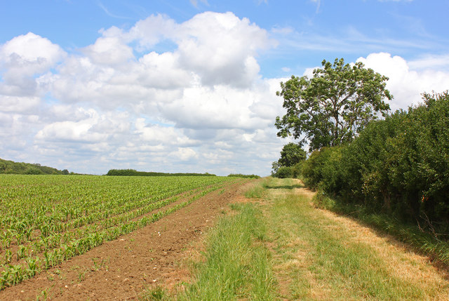
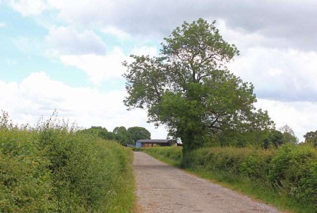
Water Eaton Copse is a charming woodland area located in the county of Wiltshire, England. Covering an area of approximately 100 acres, it is a designated Site of Special Scientific Interest (SSSI) due to its ecological significance and diverse range of flora and fauna.

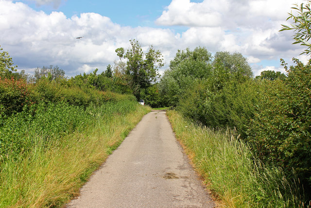
The copse is predominantly made up of broadleaf trees such as oak, ash, and beech, creating a dense and picturesque forest. The canopy of the trees provides shade, resulting in a cool and tranquil atmosphere that is perfect for leisurely walks and nature exploration.

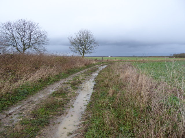
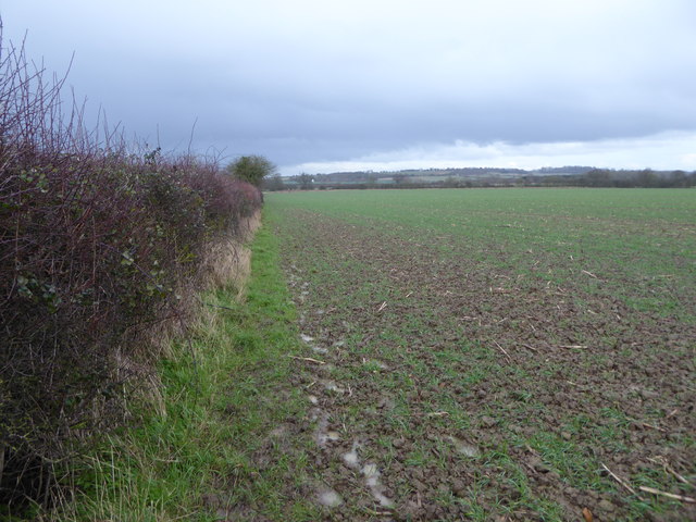
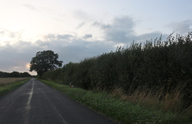
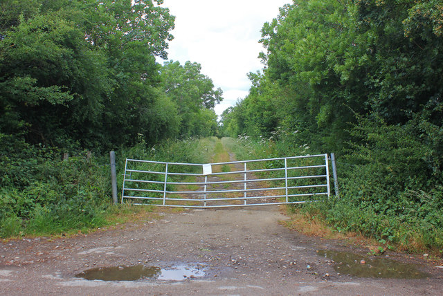
Within the copse, there is a network of well-maintained footpaths that wind their way through the woodland, allowing visitors to navigate easily and enjoy the beauty of the surroundings. These paths lead to hidden clearings, where visitors can take a moment to relax and appreciate the natural surroundings.

Water Eaton Copse is home to a variety of wildlife, including deer, badgers, foxes, and numerous bird species. Birdwatchers will be delighted by the opportunity to spot woodpeckers, owls, and various songbirds in their natural habitat.

The copse is a popular destination for nature enthusiasts, hikers, and families seeking a peaceful retreat away from the hustle and bustle of city life. It offers an escape into nature, with its serene atmosphere and breathtaking scenery.

Overall, Water Eaton Copse is a beautiful woodland area in Wiltshire that provides a haven for wildlife and a tranquil space for visitors to immerse themselves in the wonders of nature.

If you have any feedback on the listing, please let us know in the comments section below.

Water Eaton Copse Images

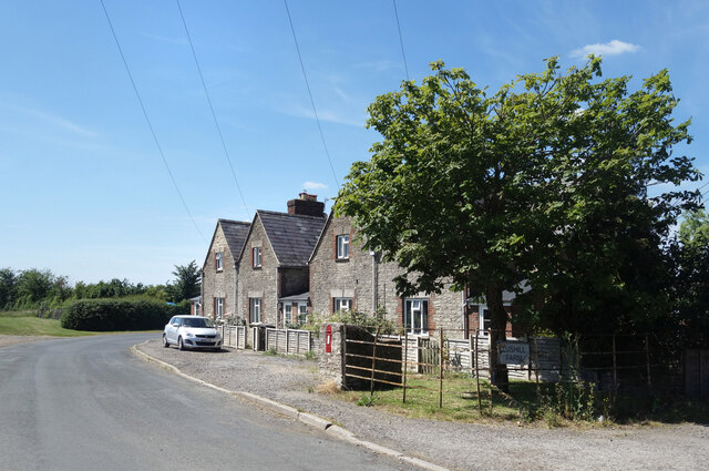
Images are sourced within 2km of 51.637114/-1.7910259 or Grid Reference SU1493. Thanks to Geograph Open Source API. All images are credited.

Roadside Wildflowers, Droveway Lane Another view of this quiet country lane which crosses the north east corner of SU1494.
The map shows the south of the square is occupied by a large solar farm.
Roadside Wildflowers, Droveway Lane
Another view of this quiet country lane which crosses the north east corner of SU1494. The map shows the south of the square is occupied by a large solar farm.
Road on Lus Hill The road from Hannington to Castle Eaton goes through the SW corner of SU1694.
Road on Lus Hill
The road from Hannington to Castle Eaton goes through the SW corner of SU1694.
Houses at Lus Hill There is a large house at the top of the hill, a farm about half way down and these roadside houses are at the bottom of the hill.
An old post box is outside the nearest one.
Houses at Lus Hill
There is a large house at the top of the hill, a farm about half way down and these roadside houses are at the bottom of the hill. An old post box is outside the nearest one.
Road below Lus Hill The road has dropped down from the last of the higher ground and is now on the flat land of the upper Thames Valley.
Road below Lus Hill
The road has dropped down from the last of the higher ground and is now on the flat land of the upper Thames Valley.
Bridleway to Droveway Droveway is the name of a farm. In the distance can be seen the domes of two anaerobic digesters.
Bridleway to Droveway
Droveway is the name of a farm. In the distance can be seen the domes of two anaerobic digesters.
Port Farm The circular feature in the left foreground consists of waterlogged tractor tracks, and is not one of the Highworth Enclosures marked on the OS map: these are generally not visible at ground level. To the right of the buildings is a solar farm.
Port Farm
The circular feature in the left foreground consists of waterlogged tractor tracks, and is not one of the Highworth Enclosures marked on the OS map: these are generally not visible at ground level. To the right of the buildings is a solar farm.
Track, Port Farm This track is not a public right of way. The white building in the distance is probably Lower Part Farm.
Track, Port Farm
This track is not a public right of way. The white building in the distance is probably Lower Part Farm.
Muddy field, looking towards Hannington Hannington village is on the hill in the distance.
Muddy field, looking towards Hannington
Hannington village is on the hill in the distance.
Queens Road, Lus Hill
Large tree by Queens Road, Lus Hill
Queens Road, Lus Hill
Back Lane, Broad Blunsdon The back of the Lower Village, the other parallel road is Front Lane.
Back Lane, Broad Blunsdon
The back of the Lower Village, the other parallel road is Front Lane.
Longfield Farm Entrance to Longfield Farm, Blunsdon.
Longfield Farm
Entrance to Longfield Farm, Blunsdon.
Front Lane Path leading away from Front Lane.
Front Lane
Path leading away from Front Lane.
Little Rose Lane Minor Road.
Little Rose Lane
Minor Road.
Bridleway to Castle Eaton Newly created bridleway.
Bridleway to Castle Eaton
Newly created bridleway.
Droveway Farm Minor road approaching Droveway Farm.
Droveway Farm
Minor road approaching Droveway Farm.
Cottages in Front Lane, Broad Blunsdon Cottages line Front Lane, a narrow road which winds steeply uphill with a tiny stream running beside it.
Cottages in Front Lane, Broad Blunsdon
Cottages line Front Lane, a narrow road which winds steeply uphill with a tiny stream running beside it.
Show me another place!

Water Eaton Copse is located at Grid Ref: SU1493 (Lat: 51.637114, Lng: -1.7910259)

Unitary Authority: Wiltshire

Police Authority: Wiltshire

What 3 Words

///grapevine.held.tent. Near Hannington, Wiltshire

Nearby Locations

Water Eaton Copse

Related Wikis

Ermin Way

Ermin Street or Ermin Way was a Roman road in Britain. It linked Glevum (Gloucester) and Corinium (Cirencester) to Calleva (Silchester). At Glevum, it...

River Ray, Wiltshire

The River Ray is a tributary of the River Thames in England which flows through Wiltshire. The river rises at Wroughton to the south of Swindon and runs...

Castle Eaton Bridge

Castle Eaton Bridge is a road bridge across the River Thames in England at Castle Eaton in Wiltshire. It carries a minor road between Cricklade, 4 miles...

Castle Eaton

Castle Eaton is a village and civil parish in the ceremonial county of Wiltshire, England, on the River Thames about 4 miles (6.4 km) northwest of Highworth...

Nearby Amenities

Located within 500m of 51.637114,-1.7910259
The data included in this document is from www.openstreetmap.org. The data is made available under ODbL.

Have you been to Water Eaton Copse?

Leave your review of Water Eaton Copse below (or comments, questions and feedback).