Slade Covert
Wood, Forest in Staffordshire East Staffordshire
England
Slade Covert

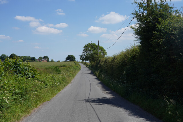
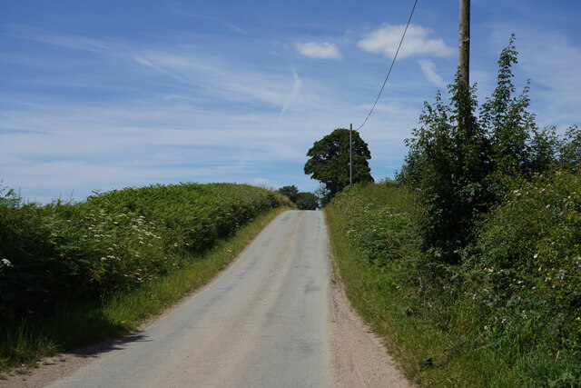
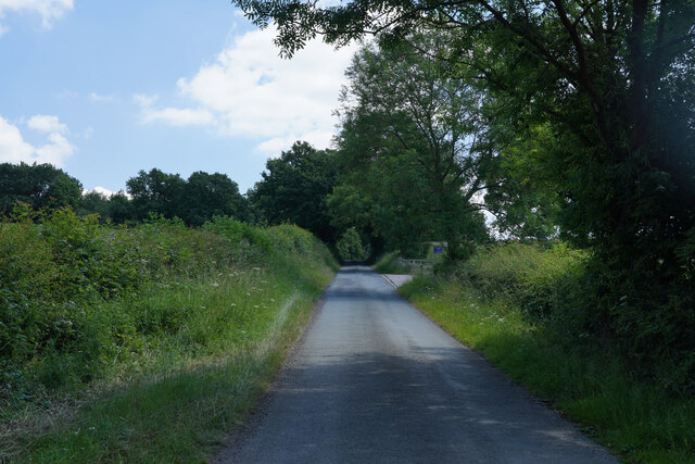
Slade Covert is a picturesque woodland area located in Staffordshire, England. Nestled amidst the rolling hills and verdant landscapes, this enchanting forest offers a tranquil retreat for nature enthusiasts and explorers alike.
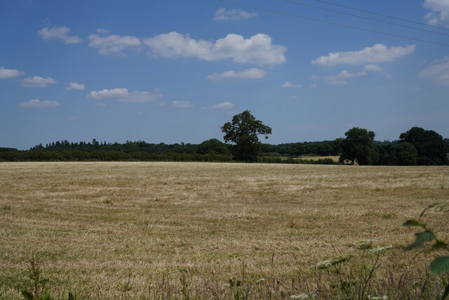
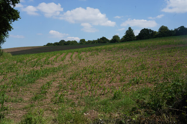
Covering an area of approximately 100 acres, Slade Covert boasts a diverse range of flora and fauna. The woodland is predominantly composed of native deciduous trees such as oak, beech, and ash, which create a lush canopy overhead. The forest floor is adorned with carpets of bluebells, wild garlic, and ferns, adding to the area's natural beauty.
The woodland is crisscrossed by a network of well-maintained footpaths, making it easily accessible to visitors. These paths lead to several points of interest, including a serene lake and a babbling brook. The lake is home to a variety of aquatic species, while the brook provides a soothing soundtrack to accompany a leisurely stroll.
Slade Covert is also renowned for its wildlife. The forest is home to a rich assortment of animals, ranging from small mammals like rabbits and foxes to larger creatures such as deer and badgers. Birdwatchers will delight in the abundance of species that inhabit the area, including woodpeckers, owls, and various songbirds.
For those seeking a more adventurous experience, Slade Covert offers opportunities for camping and hiking. A designated camping area provides a rustic escape for overnight stays, while hiking trails meander through the forest, allowing visitors to immerse themselves in the natural surroundings.
Overall, Slade Covert is a captivating woodland retreat that offers a sanctuary for both nature lovers and outdoor enthusiasts. Its idyllic setting, diverse ecosystem, and range of activities make it an ideal destination for anyone seeking solace in the beauty of nature.
If you have any feedback on the listing, please let us know in the comments section below.
Slade Covert Images
Images are sourced within 2km of 52.798886/-1.7855823 or Grid Reference SK1422. Thanks to Geograph Open Source API. All images are credited.


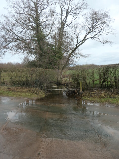
![Stony Ford, at Stonyford Where Lin Brook becomes Stonyford Brook. Other maps [but not the OS] call the hamlet Stoneyford.](https://s0.geograph.org.uk/geophotos/07/39/74/7397472_9a27b0e0.jpg)


Slade Covert is located at Grid Ref: SK1422 (Lat: 52.798886, Lng: -1.7855823)
Administrative County: Staffordshire
District: East Staffordshire
Police Authority: Staffordshire
What 3 Words
///triangles.safest.daring. Near Yoxall, Staffordshire
Nearby Locations
Related Wikis

Hoar Cross
Hoar Cross is a small village and civil parish in the Borough of East Staffordshire, situated approximately 7 miles (11 km) west of Burton upon Trent....

Church of the Holy Angels, Hoar Cross
The Church of the Holy Angels is an Anglican church in Hoar Cross, Staffordshire, England. It is a Grade I listed building. == History == It was built...

Tatenhill Airfield
Tatenhill Airfield (ICAO: EGBM) is a licensed airfield operated by Tatenhill Aviation Ltd. Its CAA Ordinary Licence (Number P813) allows flights for the...

Byrkley Lodge
Byrkley Lodge was a country house and later racing horse stud farm, located close to Burton on Trent, Staffordshire. Demolished in 1953, its former grounds...
St George's Park National Football Centre
St George's Park (SGP) is the English Football Association's national football centre (NFC) built on a 330-acre (130 ha) site at Burton upon Trent, Staffordshire...
Hoar Cross Hall
Hoar Cross Hall is a 19th-century country mansion near the villages of Hoar Cross and Hamstall Ridware, Staffordshire. England. The Grade II listed building...
RAF Tatenhill
RAF Tatenhill is a former Royal Air Force satellite airfield in Tatenhill, Staffordshire, England, 4 NM (7.4 km; 4.6 mi) west of Burton on Trent. It was...
Brankley Pastures
Brankley Pastures is a nature reserve of the Staffordshire Wildlife Trust. It is about 2.5 miles (4.0 km) miles north-west of Barton-under-Needwood, in...
Have you been to Slade Covert?
Leave your review of Slade Covert below (or comments, questions and feedback).