Worlds End
Settlement in Warwickshire
England
Worlds End
Worlds End is a small hamlet located in the county of Warwickshire, England. Situated in the heart of the countryside, this rural settlement is known for its picturesque landscapes and tranquil atmosphere. It is situated approximately 4 miles southwest of the market town of Henley-in-Arden.
The hamlet of Worlds End is characterized by its charming thatched cottages and traditional English architecture. It is surrounded by rolling hills, lush green fields, and meandering streams, offering breathtaking views of the Warwickshire countryside. The area is known for its rich history, with evidence of human activity dating back to the Roman period.
Although Worlds End is a small settlement, it benefits from its proximity to nearby towns and villages, including Henley-in-Arden and Stratford-upon-Avon, the birthplace of William Shakespeare. The location provides residents with easy access to a range of amenities, including schools, shops, and recreational facilities.
The hamlet is also close to several tourist attractions, such as Warwick Castle and the Cotswolds, making it an ideal base for visitors wanting to explore the region. The surrounding countryside offers opportunities for outdoor activities such as hiking, cycling, and horse riding.
Overall, Worlds End, Warwickshire, offers a peaceful and idyllic lifestyle for its residents, with its natural beauty and proximity to amenities and attractions making it a desirable place to live or visit.
If you have any feedback on the listing, please let us know in the comments section below.
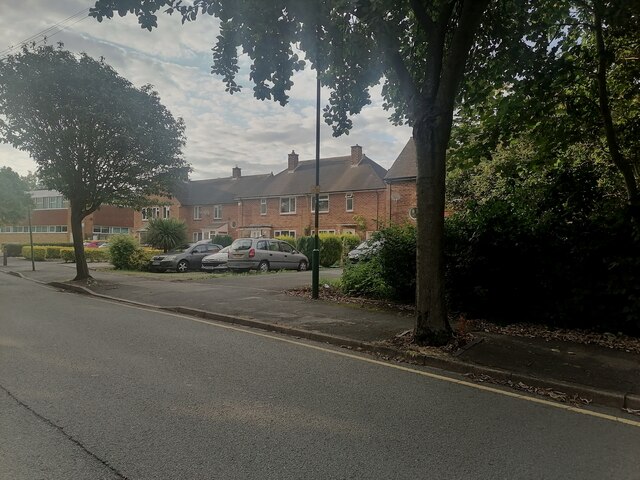
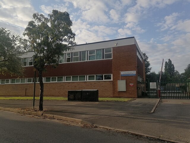
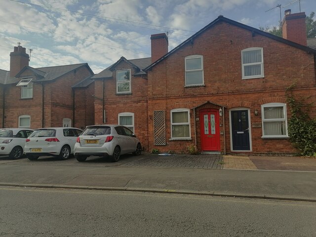
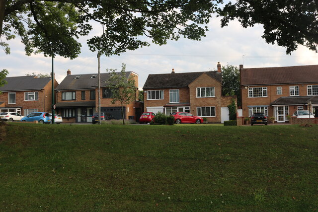
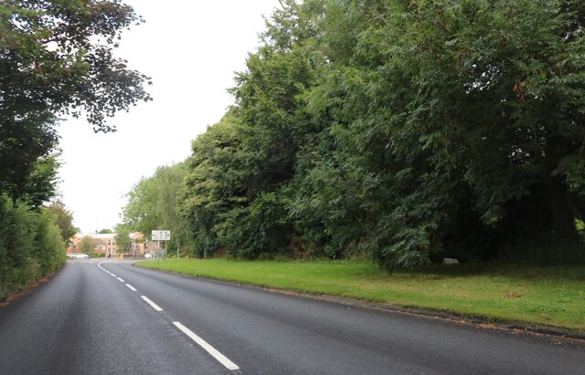
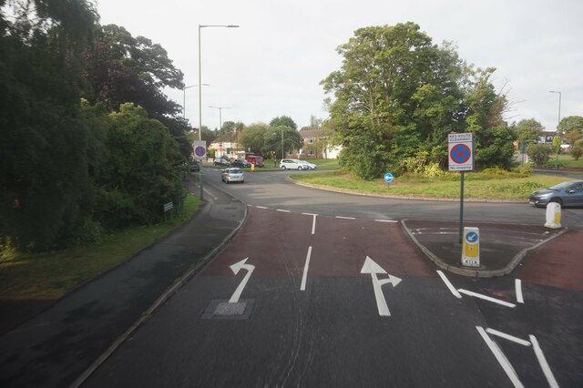
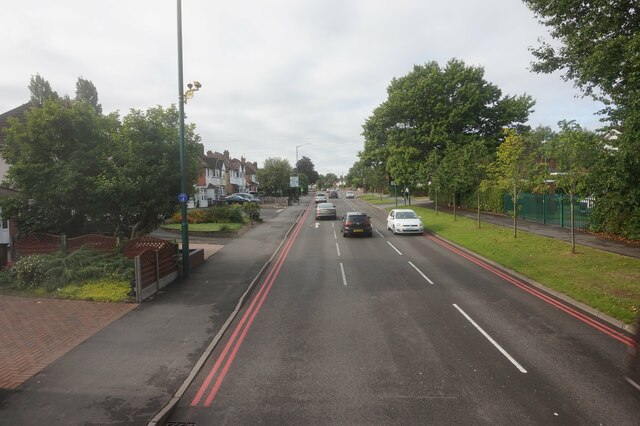
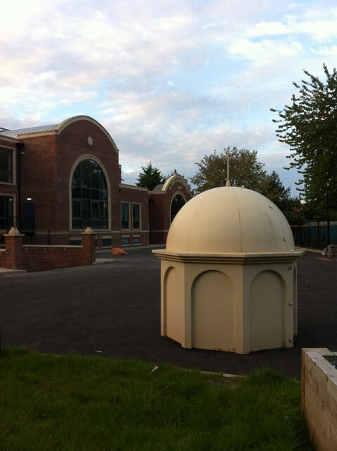
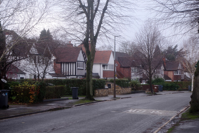
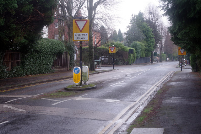
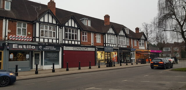
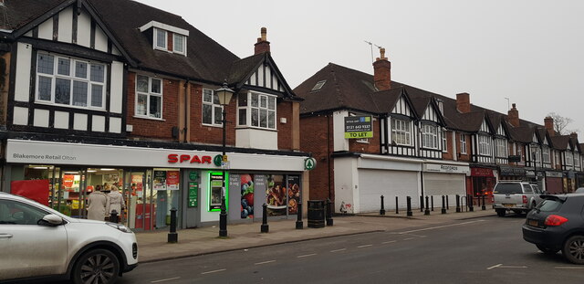
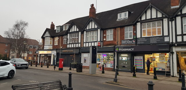
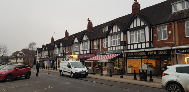
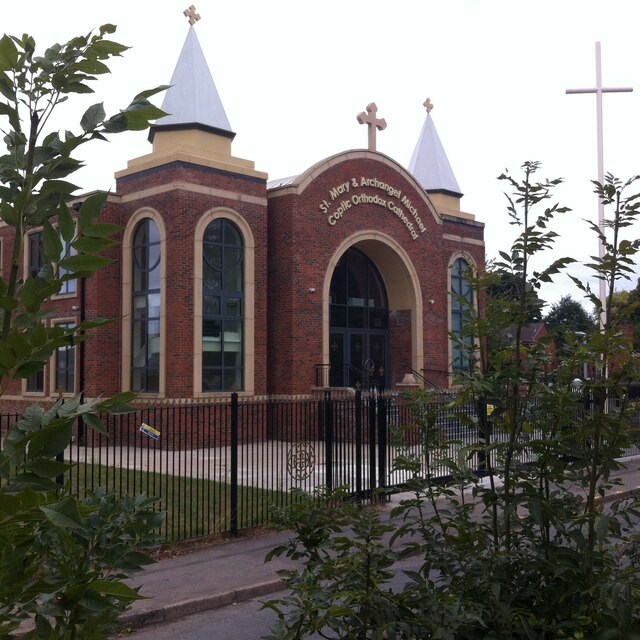
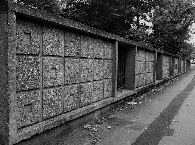
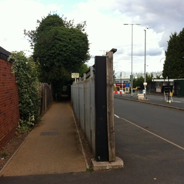
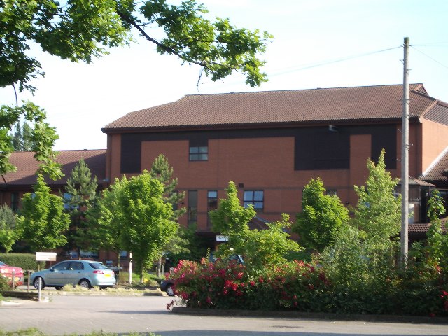
Worlds End Images
Images are sourced within 2km of 52.425788/-1.795255 or Grid Reference SP1480. Thanks to Geograph Open Source API. All images are credited.
Worlds End is located at Grid Ref: SP1480 (Lat: 52.425788, Lng: -1.795255)
Unitary Authority: Solihull
Police Authority: West Midlands
What 3 Words
///lift.roof.hangs. Near Solihull, West Midlands
Nearby Locations
Related Wikis

Olton & West Warwickshire Hockey Club
Olton & West Warwickshire Hockey Club (Olton & West Warwick for short) is a field hockey club based at the West Warwickshire Sports Club in Grange Road...

Olton Reservoir
Olton Reservoir or Olton Mere (grid reference SP134815) is a canal feeder reservoir in the Olton district of Solihull, West Midlands, England. The reservoir...
Langley School, Solihull
Langley School is a secondary school with academy status situated in the Metropolitan Borough of Solihull, West Midlands. It has specialist status in the...
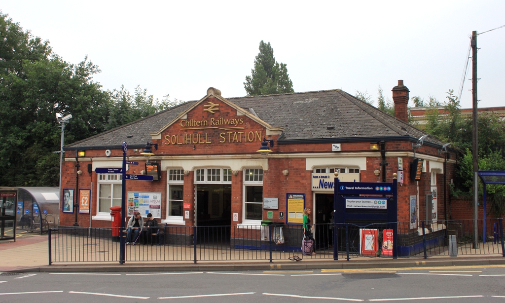
Solihull railway station
Solihull railway station serves the market town of Solihull in the West Midlands of England. The station is served by West Midlands Trains and Chiltern...

Solihull plant
Solihull plant is a car manufacturing factory in Lode Lane, Lode Heath, Solihull, UK, owned by Jaguar Land Rover. The plant sits on a 300-acre (120 ha...

Olton
Olton is an area/suburban village within the Metropolitan Borough of Solihull in the [Birmingham], England. In the 13th century, the Lords of the Manor...
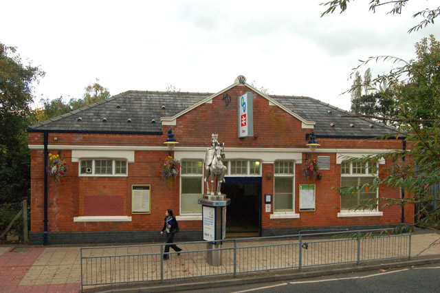
Olton railway station
Olton railway station serves the Olton area of Solihull, in the West Midlands of England. The station is operated by West Midlands Trains. The entrance...
Solihull Hospital
Solihull Hospital is an acute general hospital in Solihull, West Midlands, England. It is managed by University Hospitals Birmingham NHS Foundation Trust...
Nearby Amenities
Located within 500m of 52.425788,-1.795255Have you been to Worlds End?
Leave your review of Worlds End below (or comments, questions and feedback).