North End Copse
Wood, Forest in Hampshire New Forest
England
North End Copse
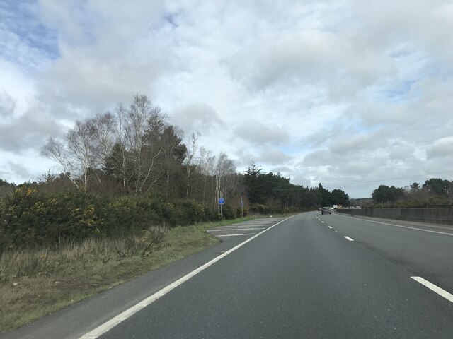
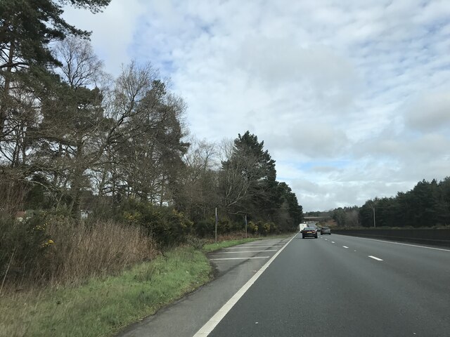
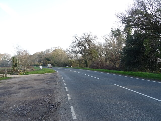
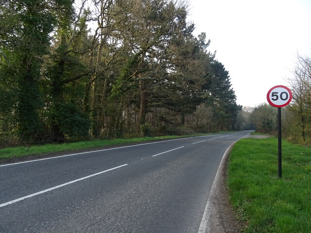
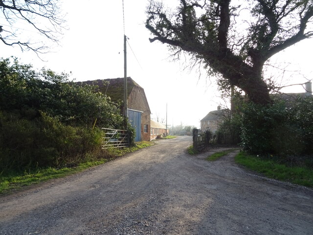
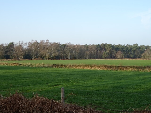
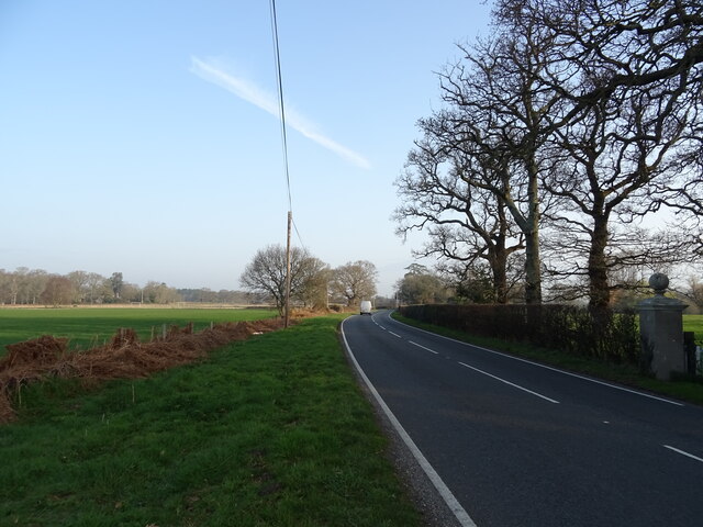
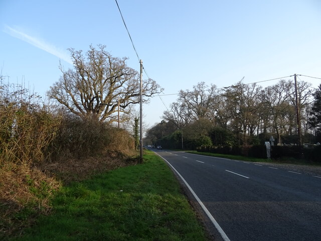
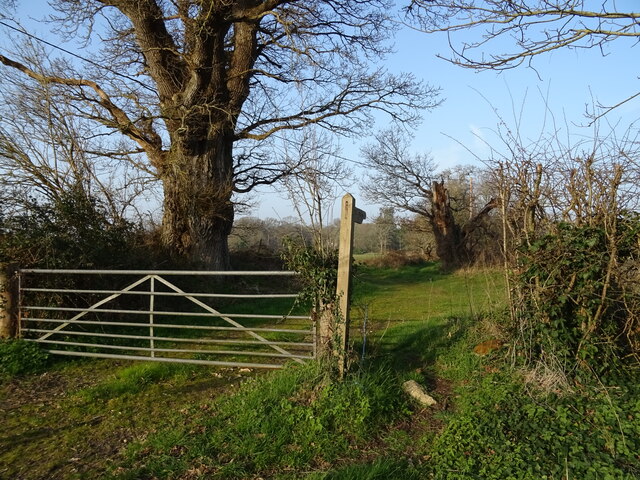
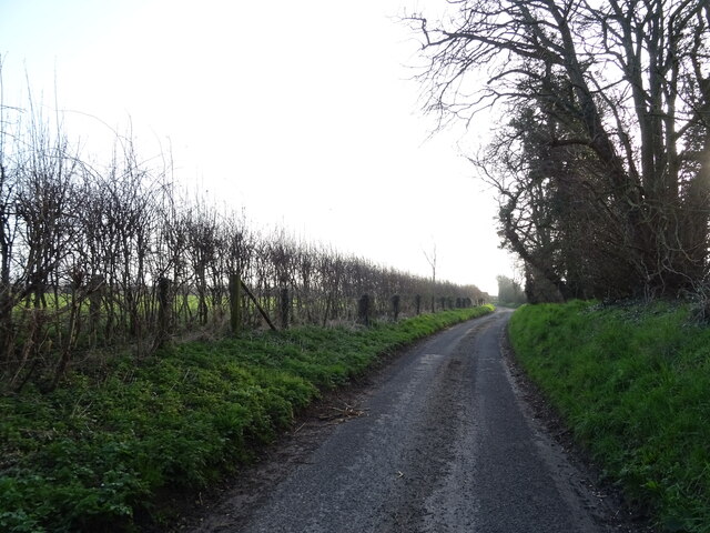
North End Copse is a picturesque woodland located in Hampshire, England. Covering an area of approximately 50 acres, it is a popular destination for nature enthusiasts and those seeking a peaceful retreat from the hustle and bustle of everyday life.
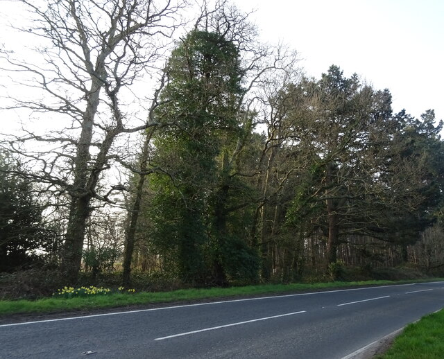
The copse is characterized by its diverse range of tree species, including oak, beech, and birch, which create a rich and varied landscape. The dense canopy provides shelter for a wide array of wildlife, making it a haven for birdwatchers and wildlife photographers.
Tranquil walking paths wind their way through the copse, allowing visitors to explore its natural beauty at their own pace. These paths are well-maintained, making them accessible for people of all ages and abilities. Along the way, benches are strategically placed, providing opportunities to rest and soak in the serenity of the surroundings.
North End Copse is also home to a small stream that meanders through the woodland. This babbling brook adds to the charm of the copse, attracting small mammals and amphibians to its banks.
Throughout the year, the copse undergoes striking transformations as the seasons change. In spring, vibrant bluebells carpet the forest floor, creating a stunning display of color. In autumn, the trees burst into fiery hues of red, orange, and gold, painting a breathtaking picture.
Managed by a local conservation group, North End Copse is a cherished natural gem. Its accessibility, diverse flora and fauna, and ever-changing beauty make it a cherished destination for both locals and visitors alike.
If you have any feedback on the listing, please let us know in the comments section below.
North End Copse Images
Images are sourced within 2km of 50.800262/-1.7947191 or Grid Reference SU1400. Thanks to Geograph Open Source API. All images are credited.

North End Copse is located at Grid Ref: SU1400 (Lat: 50.800262, Lng: -1.7947191)
Administrative County: Hampshire
District: New Forest
Police Authority: Hampshire
What 3 Words
///umbrellas.about.jazzy. Near Bransgore, Hampshire
Nearby Locations
Related Wikis

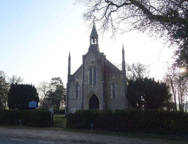
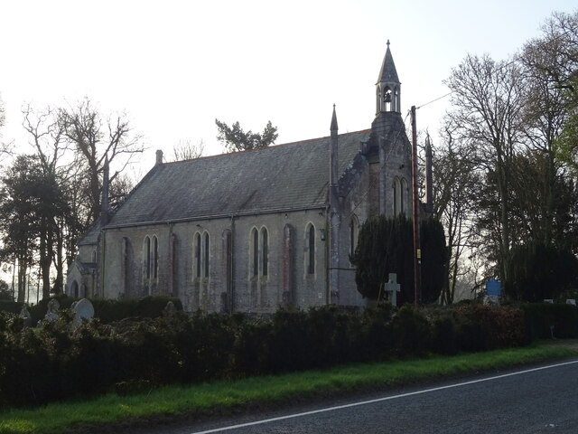
Bisterne
Bisterne is a hamlet in the civil parish of Ringwood in the New Forest National Park in Hampshire, England. Its nearest town is Ringwood, which lies 3...

Lapland New Forest
Lapland New Forest was a Christmas-themed park near Ringwood, Hampshire, UK. The park had been advertised as being a "winter wonderland" with a variety...

Ringwood Raceway
The Ringwood Raceway (formerly known as Matcham Park Stadium) was a raceway in Ringwood, Hampshire, England. == History == For many years the raceway was...

RAF Bisterne
Royal Air Force Bisterne or more simply RAF Bisterne is a former Royal Air Force Advanced Landing Ground in Hampshire, England. The airfield is located...

Sandford, Hampshire
Sandford is a small hamlet in the New Forest National Park of Hampshire, England. The nearest town to Sandford is Ringwood, which is approximately 2.6...

Hurn railway station
Hurn was a railway station in the county of Hampshire (now Dorset), opened on 13 November 1862 by the Ringwood, Christchurch and Bournemouth Railway. Becoming...
RAF Sopley
RAF Sopley was a World War II station, codenamed Starlight, near the village of Sopley in Hampshire. The Radar Station was opened in December 1940. In...

RAF Winkton
Royal Air Force Winkton, or more simply RAF Winkton, is a former Royal Air Force Advanced Landing Ground previously in Hampshire but now, due to County...
Nearby Amenities
Located within 500m of 50.800262,-1.7947191Have you been to North End Copse?
Leave your review of North End Copse below (or comments, questions and feedback).