Camp Covert

Wood, Forest in Gloucestershire Cotswold

England

Camp Covert

Quarry access
Quarry access Credit: Jonathan Thacker

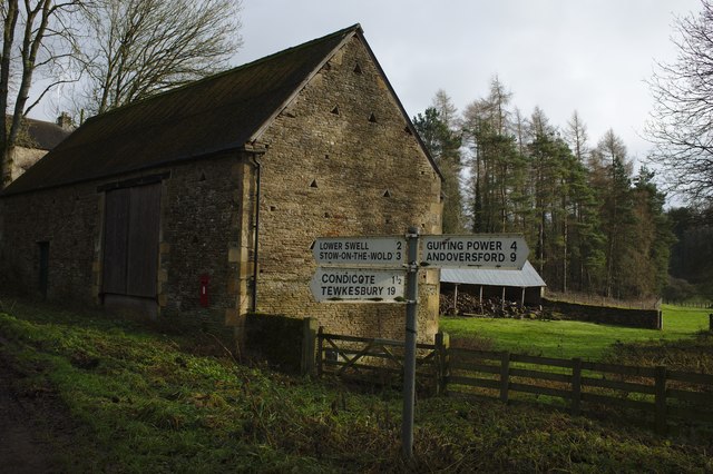
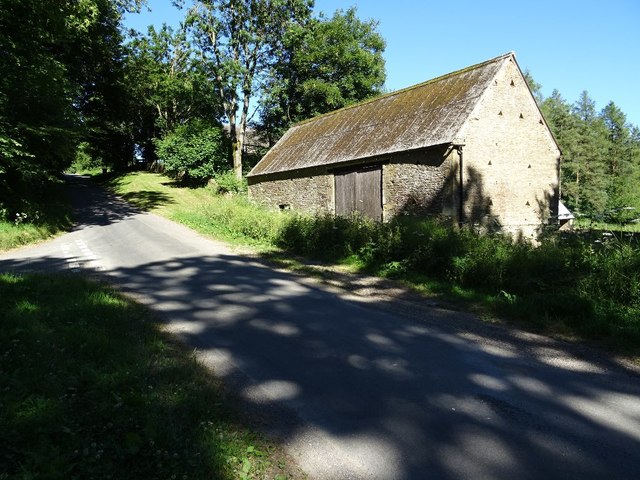
Camp Covert is a picturesque campsite located in Gloucestershire, England, nestled in the heart of the Wood Forest. This serene and tranquil location offers a perfect getaway for nature enthusiasts and those seeking a peaceful retreat.

Spread across a vast expanse, Camp Covert boasts lush greenery, towering trees, and a diverse range of flora and fauna. The campsite offers a variety of accommodation options, including spacious camping pitches for tents, as well as cozy cabins and lodges for those seeking a more comfortable stay.

The campsite is equipped with all the necessary facilities to ensure a comfortable and convenient experience for its visitors. These include modern washrooms and shower facilities, a well-stocked on-site shop for essential supplies, and a dedicated area for barbecues and campfires.

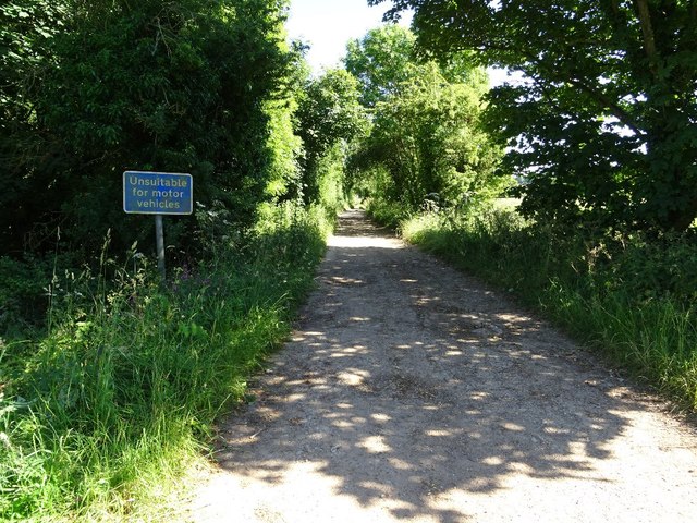
Nature lovers will find themselves in paradise at Camp Covert, as the surrounding Wood Forest offers numerous walking trails and cycling routes. The forest is home to a rich variety of wildlife, including deer, squirrels, and a wide array of bird species, making it a haven for birdwatchers and wildlife photographers.

For those looking to explore the area further, Camp Covert is conveniently located near several attractions and landmarks. The historic town of Gloucester is just a short drive away, offering a range of cultural and historical sites, including Gloucester Cathedral and the Gloucester Docks. The nearby Cotswolds, renowned for their picturesque villages and rolling hills, are also within easy reach.

Overall, Camp Covert in Gloucestershire is a haven of natural beauty and tranquility, offering a memorable camping experience amidst the stunning Wood Forest.

If you have any feedback on the listing, please let us know in the comments section below.
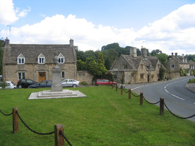
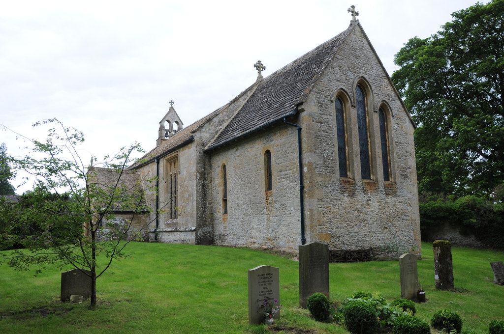
Camp Covert Images

Images are sourced within 2km of 51.933952/-1.7901897 or Grid Reference SP1426. Thanks to Geograph Open Source API. All images are credited.

Quarry access
Quarry access
New hedgerow near Swell Wold Farm
Edge of a plantation, Swell Wold
Clump of trees on a hill spur A significant attempt has been maed in this area to change the landscape over the last couple of decades or so. There are several new plantations and hedges transforming what could be one of the bleaker parts of the Cotswolds.
Clump of trees on a hill spur
A significant attempt has been maed in this area to change the landscape over the last couple of decades or so. There are several new plantations and hedges transforming what could be one of the bleaker parts of the Cotswolds.
Rolling hills A glimpse of the Midlands
Rolling hills
A glimpse of the Midlands
The shortest day The sun does not get high on the shortest day, and the old landscape persists in the oblique rays.  There are tumuli and tumps all over this area.
The shortest day
The sun does not get high on the shortest day, and the old landscape persists in the oblique rays. There are tumuli and tumps all over this area.
Our favourite barn Several Geographists have already photographed this barn.  I am proud to be in such august company
Our favourite barn
Several Geographists have already photographed this barn. I am proud to be in such august company
Fingerpost at Swell Wold Sign at the junction, with the well-photographed barn behind
Fingerpost at Swell Wold
Sign at the junction, with the well-photographed barn behind
A little valley
A little valley
Tree-lined road
Tree-lined road
Wheat field near Lower Swell Wheat field beside a country road to the west of Lower Swell.
Wheat field near Lower Swell
Wheat field beside a country road to the west of Lower Swell.
Cotswold arable land A wheat field opposite Swell Buildings Farm.
Cotswold arable land
A wheat field opposite Swell Buildings Farm.
Entrance to Swell Buildings Farm Entrance and drive to Swell Buildings Farm west of the village of Lower Swell.
Entrance to Swell Buildings Farm
Entrance and drive to Swell Buildings Farm west of the village of Lower Swell.
Icknield Street, Roman Road Icknield Street or Ryknild Street, the Roman road pictured here crossed a minor road to the west of Lower Swell.
Icknield Street, Roman Road
Icknield Street or Ryknild Street, the Roman road pictured here crossed a minor road to the west of Lower Swell.
Cotswold stone barn A roadside Cotswold stone barn I last photographed in December 2005 <a href="https://www.geograph.org.uk/photo/91082">SP1426 : Farm buildings in the Eye valley</a>.
Cotswold stone barn
A roadside Cotswold stone barn I last photographed in December 2005 SP1426 : Farm buildings in the Eye valley.
Crossroads near Condicote Crossroads on the B4077 near the village of Condicote.
Crossroads near Condicote
Crossroads on the B4077 near the village of Condicote.
Condicote Lane Condicote Lane follows the route of the Roman Road, Icknield Street, also known as Ryknild Street; it runs from the Fosse Way at nearby Bourton on the Water to Templeborough in South Yorkshire.  I have photographed this Roman Road a couple of times previously <a href="https://www.geograph.org.uk/photo/91106">SP1527 : Track near Condicote</a> and <a href="https://www.geograph.org.uk/photo/3044867">SP1527 : Ryknild Street</a>.
Condicote Lane
Condicote Lane follows the route of the Roman Road, Icknield Street, also known as Ryknild Street; it runs from the Fosse Way at nearby Bourton on the Water to Templeborough in South Yorkshire. I have photographed this Roman Road a couple of times previously SP1527 : Track near Condicote and SP1527 : Ryknild Street.
Farmland with crumbling wall and power lines
Show me another place!

Camp Covert is located at Grid Ref: SP1426 (Lat: 51.933952, Lng: -1.7901897)

Administrative County: Gloucestershire

District: Cotswold

Police Authority: Gloucestershire

What 3 Words

///tissue.occurs.inviting. Near Stow on the Wold, Gloucestershire

Related Wikis

Condicote

Condicote is a small village in Gloucestershire, England. It is near the A424 road. It has a small church dedicated to St Nicholas. It has evidence of...

Huntsman's Quarry

Huntsman's Quarry (grid reference SP125259) is a 1.6-hectare (4.0-acre) geological Site of Special Scientific Interest in Gloucestershire, notified in...

Lower Swell

Lower Swell is a village and former civil parish, now in the parish of Swell, in the Cotswold district, in the county of Gloucestershire, England. It is...

Lower Swell War Memorial

Lower Swell War Memorial is a First World War memorial in the centre of the village of Lower Swell in Gloucestershire in south-western England. The memorial...

Swell, Gloucestershire

Swell is a civil parish in the Cotswold district, in the county of Gloucestershire, England. The population of the civil parish taken at the 2011 census...

Church of St Mary, Upper Swell

The Anglican Church of St Mary at Upper Swell in the Cotswold District of Gloucestershire, England was built in the 12th century. It is a Grade I listed...

Upper Slaughter

Upper Slaughter is a village in the Cotswold district of Gloucestershire, England, 4 miles (6.4 km) south west of Stow-on-the-Wold. The village lies off...

Lower Slaughter

Lower Slaughter is a village in the Cotswold district of Gloucestershire, England, 4 miles (6.4 km) south west of Stow-on-the-Wold. The village is built...

Nearby Amenities

Located within 500m of 51.933952,-1.7901897
Power: pole
Lat/Long: 51.9377343/-1.7939164
Power: pole
Lat/Long: 51.9365197/-1.7932136
Power: pole
Lat/Long: 51.9371184/-1.7935637
Swell Wold Barn
Power: pole
Transformer: distribution
Voltage Primary: 11000
Lat/Long: 51.9356334/-1.7929615
Power: pole
Lat/Long: 51.9358822/-1.7928086
The data included in this document is from www.openstreetmap.org. The data is made available under ODbL.

Have you been to Camp Covert?

Leave your review of Camp Covert below (or comments, questions and feedback).