Peas Ash Copse
Wood, Forest in Hampshire New Forest
England
Peas Ash Copse
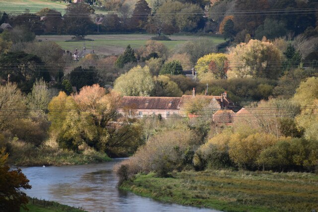
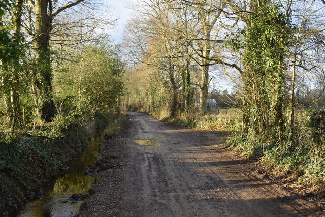
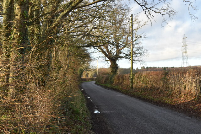
Peas Ash Copse is a charming woodland located in Hampshire, England. Covering an area of approximately 20 acres, it is nestled in the beautiful countryside and is a popular destination for nature enthusiasts and walkers alike.
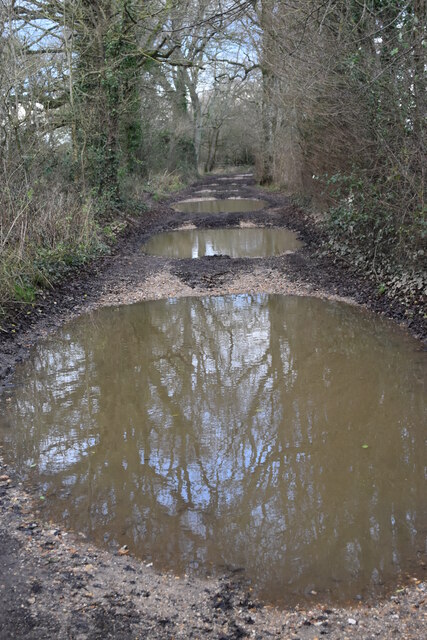
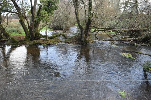
The copse is primarily composed of a mixture of deciduous and coniferous trees, including oak, beech, and pine. These trees create a dense canopy that provides shade and shelter for a variety of wildlife. The forest floor is covered with a rich carpet of moss, ferns, and wildflowers, adding to the area's natural beauty.
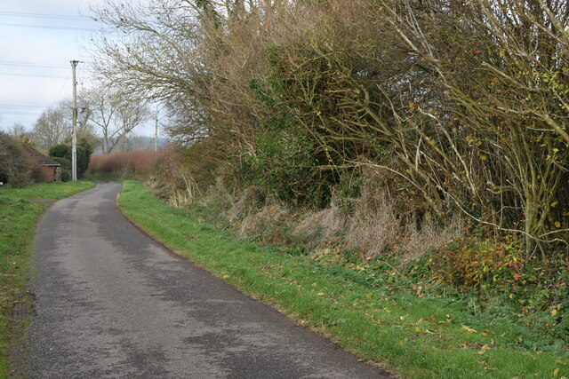
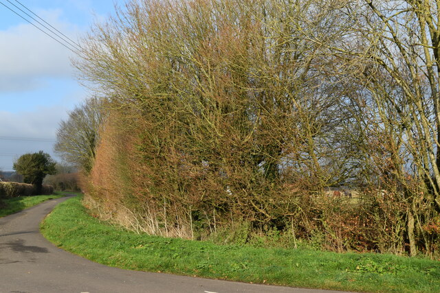
Visitors to Peas Ash Copse can enjoy a network of well-maintained trails that wind through the woodland, offering opportunities for peaceful walks and exploration. Along the trails, one may encounter an array of wildlife, including squirrels, deer, and a variety of bird species. The copse is particularly known for its vibrant bird population, with species such as woodpeckers, owls, and warblers being commonly sighted.
The tranquility of Peas Ash Copse makes it an ideal spot for nature photography, birdwatching, or simply escaping the bustle of everyday life. The changing seasons bring their own unique charm to the copse, with vibrant autumn foliage and delicate spring blooms.
Managed by local conservation organizations, Peas Ash Copse is well-preserved and cared for, ensuring its continued beauty and biodiversity for future generations to enjoy. With its natural splendor and peaceful atmosphere, Peas Ash Copse is a true gem in the Hampshire countryside.
If you have any feedback on the listing, please let us know in the comments section below.
Peas Ash Copse Images
Images are sourced within 2km of 50.949186/-1.7946626 or Grid Reference SU1416. Thanks to Geograph Open Source API. All images are credited.


Peas Ash Copse is located at Grid Ref: SU1416 (Lat: 50.949186, Lng: -1.7946626)
Administrative County: Hampshire
District: New Forest
Police Authority: Hampshire
What 3 Words
///item.parked.furnish. Near Fordingbridge, Hampshire
Nearby Locations
Related Wikis

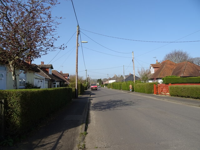
Burgate, Hampshire
Burgate (divided into Upper Burgate and Lower Burgate) is a hamlet situated on the western edge of the New Forest National Park in Hampshire, England....

The Burgate School and Sixth Form
The Burgate School and Sixth Form (opened in 1957) is an 11–18 academy school. The school is situated in Fordingbridge, Hampshire, and at the current time...
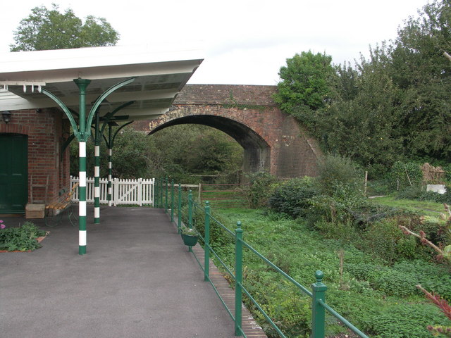
Breamore railway station
Breamore railway station was a railway station in the Avon Valley at the village of Breamore, Hampshire, England. The station was built for the Salisbury...
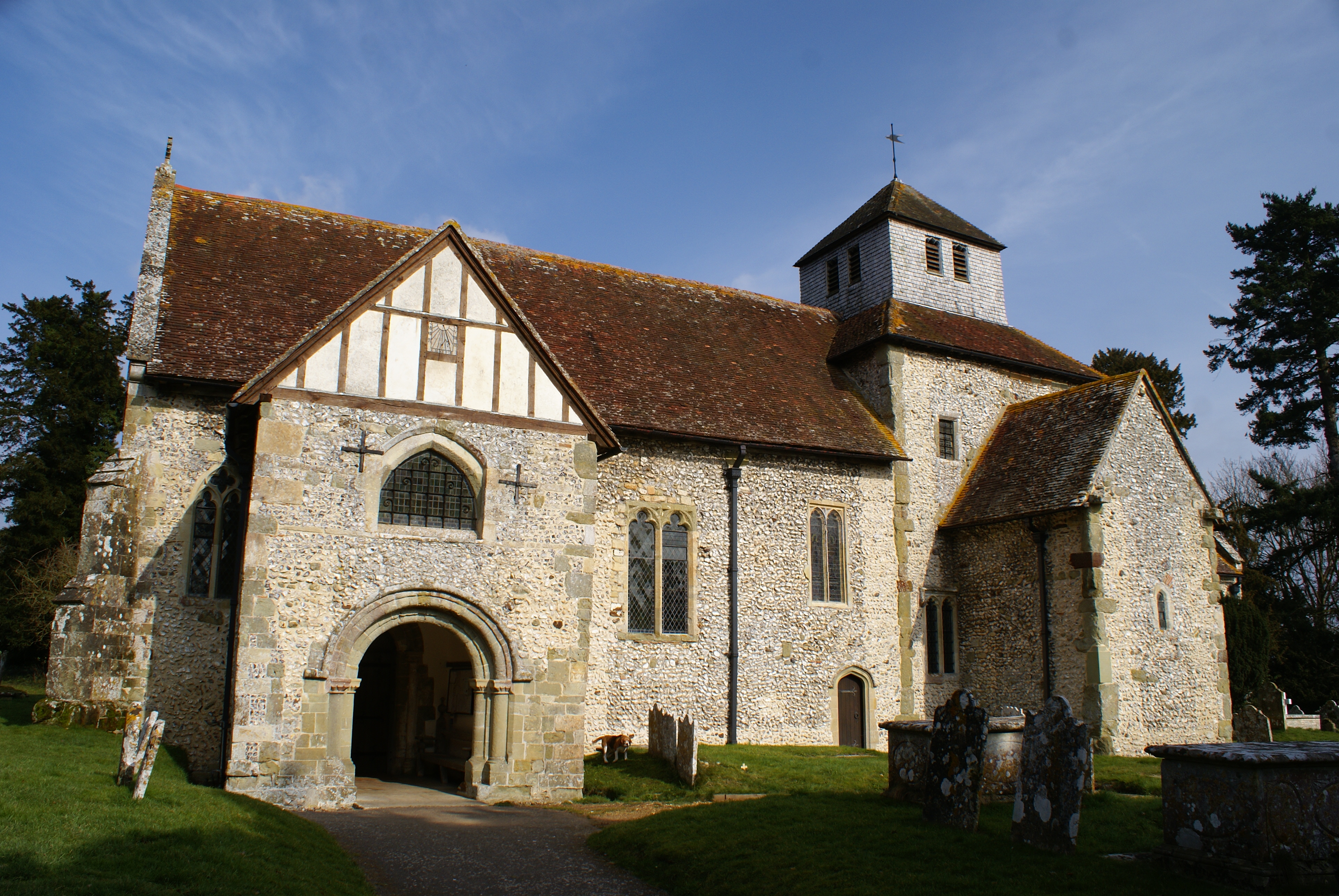
Breamore
Breamore ( BREM-ər) is a village and civil parish near Fordingbridge in Hampshire, England. The parish includes a notable Elizabethan country house, Breamore...

Fordingbridge Hospital
Fordingbridge Hospital is a small community hospital in Fordingbridge, Hampshire, England. The hospital closed to admissions in September 2023. == History... ==

Fordingbridge
Fordingbridge is a town and broader civil parish with a population of 6,000 on the River Avon in the New Forest District of Hampshire, England, near the...

Fordingbridge railway station
Fordingbridge was a railway station serving Fordingbridge, a small town in Hampshire. It was one of many casualties of the mass closure of British railway...
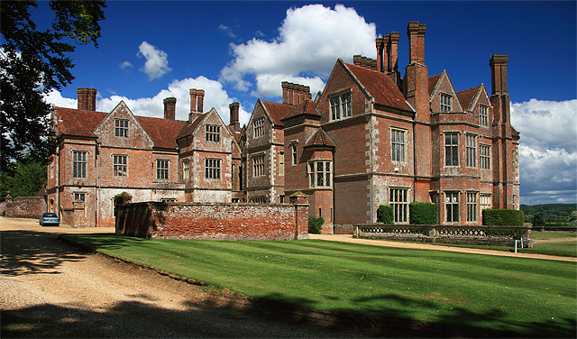
Breamore House
Breamore House is an Elizabethan manor house noted for its fine collection of paintings and furniture and situated NW of Breamore village, north of Fordingbridge...
Nearby Amenities
Located within 500m of 50.949186,-1.7946626Have you been to Peas Ash Copse?
Leave your review of Peas Ash Copse below (or comments, questions and feedback).