Barnground Covert
Wood, Forest in Gloucestershire Cotswold
England
Barnground Covert

Barnground Covert is a picturesque woodland area located in Gloucestershire, England. Situated within the Forest of Dean, this serene and enchanting forest offers visitors a unique and immersive experience in nature. Stretching across approximately 100 acres, Barnground Covert is a haven for wildlife and a perfect destination for nature enthusiasts.
The woodland is characterized by its dense canopy of tall oak and beech trees, providing a sheltered and tranquil environment. The forest floor is covered in a rich carpet of mosses, ferns, and wildflowers, creating a vibrant and colorful landscape. The air is filled with the soothing sounds of birdsong and the rustling of leaves, enhancing the sense of tranquility.
Barnground Covert is home to a diverse range of wildlife, including deer, badgers, foxes, and a variety of bird species. Nature lovers can explore the forest through a network of well-maintained trails, allowing them to observe and appreciate the flora and fauna up close. The forest also has several designated picnic spots, providing the perfect opportunity to relax and enjoy a meal amidst the natural beauty.
In addition to its natural wonders, Barnground Covert offers recreational activities such as hiking and cycling. The forest boasts a network of trails suitable for all levels of fitness, catering to both casual walkers and experienced hikers. These trails wind through the woodland, offering stunning views and opportunities to spot wildlife along the way.
Overall, Barnground Covert is a hidden gem in Gloucestershire, offering visitors a chance to escape the hustle and bustle of everyday life and immerse themselves in the beauty of nature. Whether it's a peaceful stroll, a picnic with loved ones, or an adventure-filled hike, this enchanting woodland has something to offer for everyone.
If you have any feedback on the listing, please let us know in the comments section below.
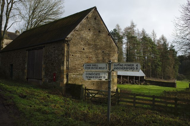
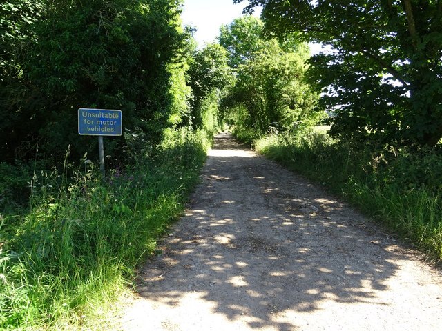
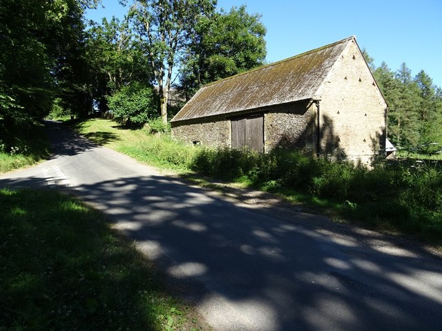
Barnground Covert Images
Images are sourced within 2km of 51.934648/-1.7873647 or Grid Reference SP1426. Thanks to Geograph Open Source API. All images are credited.


Barnground Covert is located at Grid Ref: SP1426 (Lat: 51.934648, Lng: -1.7873647)
Administrative County: Gloucestershire
District: Cotswold
Police Authority: Gloucestershire
What 3 Words
///interests.stubbed.digress. Near Stow on the Wold, Gloucestershire
Nearby Locations
Related Wikis

Condicote
Condicote is a small village in Gloucestershire, England. It is near the A424 road. It has a small church dedicated to St Nicholas. It has evidence of...
Huntsman's Quarry
Huntsman's Quarry (grid reference SP125259) is a 1.6-hectare (4.0-acre) geological Site of Special Scientific Interest in Gloucestershire, notified in...
Lower Swell
Lower Swell is a village and former civil parish, now in the parish of Swell, in the Cotswold district, in the county of Gloucestershire, England. It is...
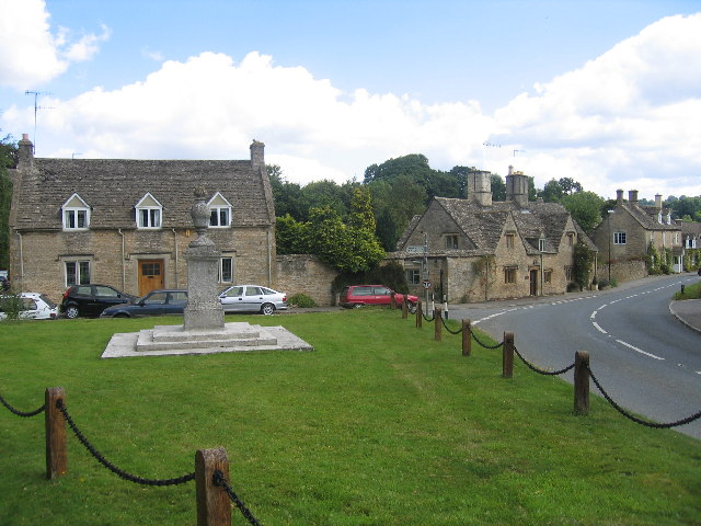
Lower Swell War Memorial
Lower Swell War Memorial is a First World War memorial in the centre of the village of Lower Swell in Gloucestershire in south-western England. The memorial...

Swell, Gloucestershire
Swell is a civil parish in the Cotswold district, in the county of Gloucestershire, England. The population of the civil parish taken at the 2011 census...
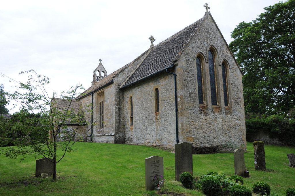
Church of St Mary, Upper Swell
The Anglican Church of St Mary at Upper Swell in the Cotswold District of Gloucestershire, England was built in the 12th century. It is a Grade I listed...

Upper Slaughter
Upper Slaughter is a village in the Cotswold district of Gloucestershire, England, 4 miles (6.4 km) south west of Stow-on-the-Wold. The village lies off...

Lower Slaughter
Lower Slaughter is a village in the Cotswold district of Gloucestershire, England, 4 miles (6.4 km) south west of Stow-on-the-Wold. The village is built...
Nearby Amenities
Located within 500m of 51.934648,-1.7873647Have you been to Barnground Covert?
Leave your review of Barnground Covert below (or comments, questions and feedback).