Highbush Covert
Wood, Forest in Gloucestershire Cotswold
England
Highbush Covert

Highbush Covert is a woodland area located in Gloucestershire, England. Covering an approximate area of 100 acres, it is situated near the village of Highbush and is part of the larger Forest of Dean region. The woodland is primarily composed of highbush trees, which are native to the area.
The terrain of Highbush Covert is characterized by rolling hills and dense vegetation, providing a diverse habitat for a variety of flora and fauna. The woodland features a mix of broadleaf trees, including oak, beech, and ash, which create a vibrant and lush environment. These trees provide essential habitats for numerous bird species, such as woodpeckers, owls, and thrushes, making it a haven for birdwatchers and nature enthusiasts.
In addition to its diverse bird population, Highbush Covert is also home to a range of mammals, including deer, foxes, and badgers. These animals often traverse the woodland, leaving behind traces of their presence in the form of tracks and droppings. The forest floor is adorned with a rich carpet of wildflowers and ferns, adding to the beauty and biodiversity of the area.
Highbush Covert offers various recreational opportunities for visitors. There are several walking trails that wind through the woodland, allowing visitors to explore its natural beauty and discover hidden gems along the way. Picnic areas and benches are scattered throughout the woodland, providing a peaceful spot for visitors to relax and enjoy the tranquil surroundings.
Overall, Highbush Covert is a picturesque woodland area in Gloucestershire, offering a rich tapestry of native trees, diverse wildlife, and recreational opportunities for all to enjoy.
If you have any feedback on the listing, please let us know in the comments section below.
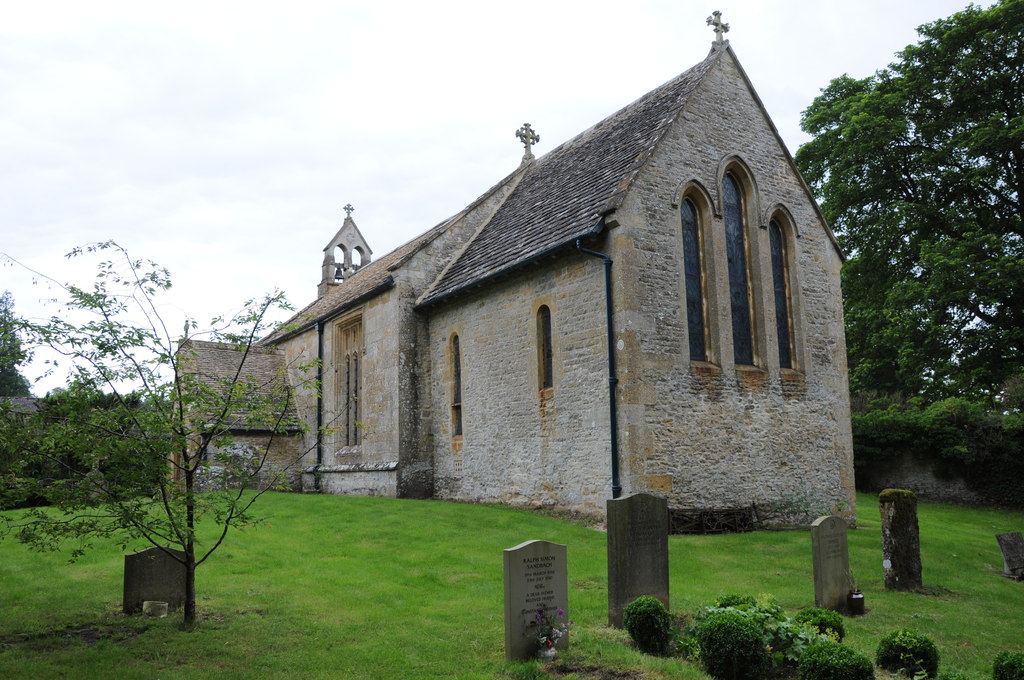
Highbush Covert Images
Images are sourced within 2km of 51.936775/-1.7900456 or Grid Reference SP1426. Thanks to Geograph Open Source API. All images are credited.


Highbush Covert is located at Grid Ref: SP1426 (Lat: 51.936775, Lng: -1.7900456)
Administrative County: Gloucestershire
District: Cotswold
Police Authority: Gloucestershire
What 3 Words
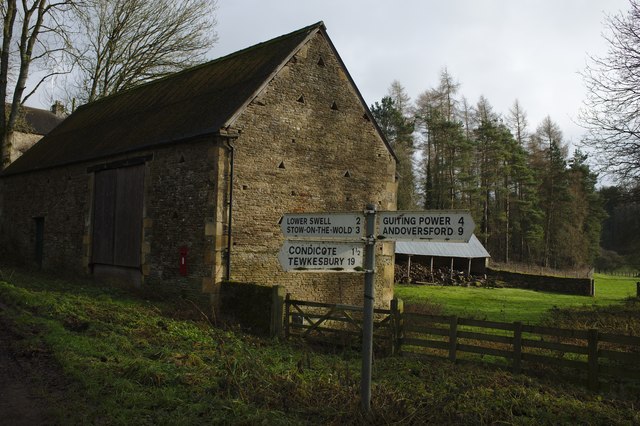
///input.shun.armrest. Near Stow on the Wold, Gloucestershire
Nearby Locations
Related Wikis

Condicote
Condicote is a small village in Gloucestershire, England. It is near the A424 road. It has a small church dedicated to St Nicholas. It has evidence of...
Huntsman's Quarry
Huntsman's Quarry (grid reference SP125259) is a 1.6-hectare (4.0-acre) geological Site of Special Scientific Interest in Gloucestershire, notified in...
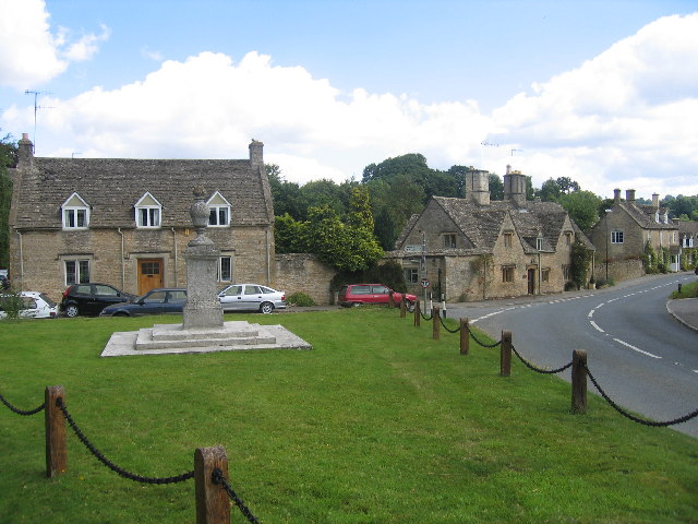
Lower Swell War Memorial
Lower Swell War Memorial is a First World War memorial in the centre of the village of Lower Swell in Gloucestershire in south-western England. The memorial...
Lower Swell
Lower Swell is a village and former civil parish, now in the parish of Swell, in the Cotswold district, in the county of Gloucestershire, England. It is...

Swell, Gloucestershire
Swell is a civil parish in the Cotswold district, in the county of Gloucestershire, England. The population of the civil parish taken at the 2011 census...
Church of St Mary, Upper Swell
The Anglican Church of St Mary at Upper Swell in the Cotswold District of Gloucestershire, England was built in the 12th century. It is a Grade I listed...

New Park Quarry
New Park Quarry (grid reference SP175282) is a 1.3-hectare (3.2-acre) geological Site of Special Scientific Interest in Gloucestershire, notified in 1987...

Hinchwick
Hinchwick is a small village in Gloucestershire, England at grid reference SP145300. Hinchwick Manor was built by architect Charles Robert Cockerell in...
Nearby Amenities
Located within 500m of 51.936775,-1.7900456Have you been to Highbush Covert?
Leave your review of Highbush Covert below (or comments, questions and feedback).