Moor Plantation
Wood, Forest in Staffordshire Staffordshire Moorlands
England
Moor Plantation
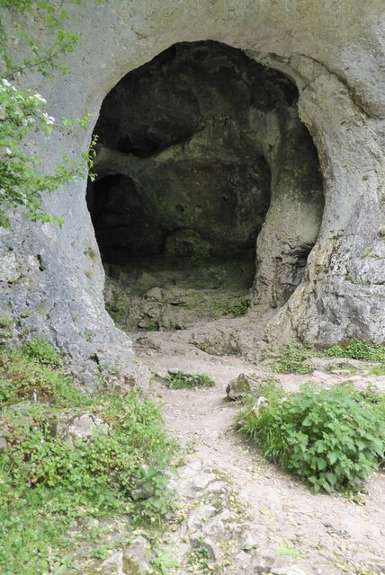
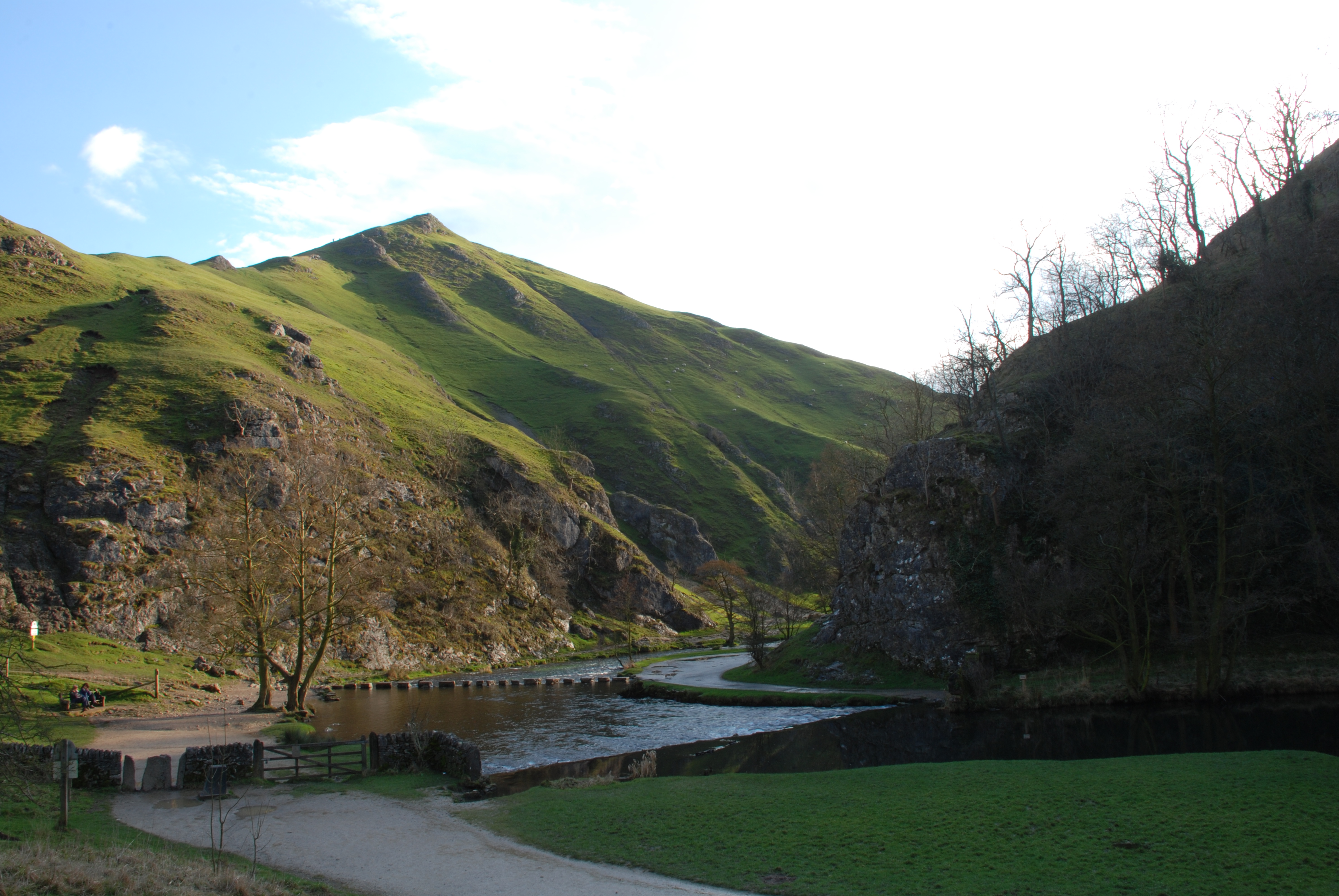
Moor Plantation is a beautiful forest located in Staffordshire, England. Covering an area of approximately 500 acres, it is a haven for nature enthusiasts and those seeking tranquility amidst the stunning natural landscape. The plantation is primarily made up of dense woodlands, with a variety of tree species such as oak, birch, and beech, creating a rich and diverse ecosystem.
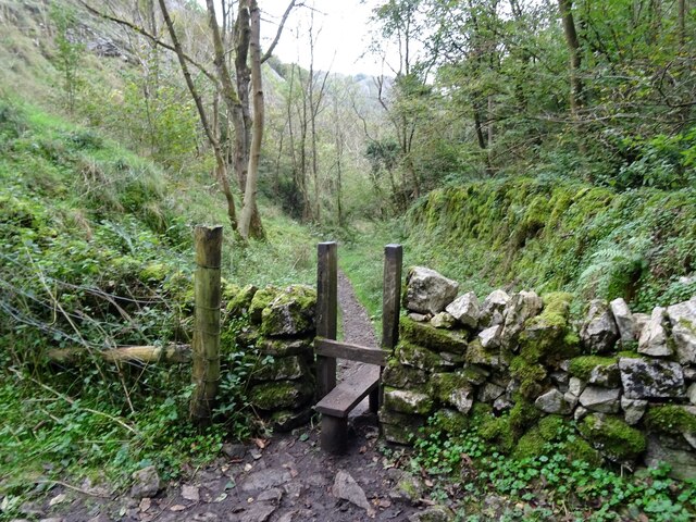
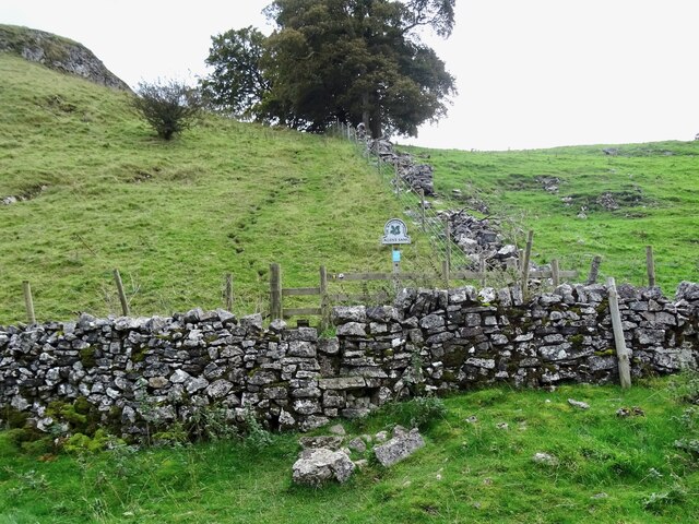
The plantation offers numerous walking trails and paths, allowing visitors to explore its vast expanse and discover its hidden gems. There are well-marked routes that cater to different preferences and fitness levels, ranging from leisurely strolls to more challenging hikes. Along these trails, one can encounter an array of wildlife, including deer, foxes, and a wide variety of bird species.
Moor Plantation also boasts a small lake, adding to its picturesque charm. This idyllic spot is a popular destination for picnics and provides an opportunity for visitors to relax and enjoy the peaceful surroundings. Additionally, the plantation offers several designated picnic areas with benches and tables, ensuring a comfortable experience for all visitors.
The forest is managed by Staffordshire County Council, who have implemented conservation measures to protect the area's biodiversity. They have also established information boards throughout the plantation, providing educational insights into the local flora and fauna.
Overall, Moor Plantation is a hidden gem in Staffordshire, offering a serene and enchanting escape for nature lovers and those seeking a break from the hustle and bustle of everyday life.
If you have any feedback on the listing, please let us know in the comments section below.
Moor Plantation Images
Images are sourced within 2km of 53.063719/-1.801223 or Grid Reference SK1351. Thanks to Geograph Open Source API. All images are credited.


Moor Plantation is located at Grid Ref: SK1351 (Lat: 53.063719, Lng: -1.801223)
Administrative County: Staffordshire
District: Staffordshire Moorlands
Police Authority: Staffordshire
What 3 Words
///shirtless.spray.writing. Near Ashbourne, Derbyshire
Nearby Locations
Related Wikis

Ilam Park
Ilam Park is a 158-acre (0.64 km2) country park situated in Ilam, on both banks of the River Manifold five miles (8 km) north west of Ashbourne, England...

White Peak Estate
The White Peak Estate (previously known as the South Peak Estate) of the National Trust comprises several land holdings in the Southern Peak District....

Ilam, Staffordshire
Ilam ( ) is a village in the Staffordshire Peak District of England, lying on the River Manifold. The population of the civil parish as taken at the 2011...
Dovedale
Dovedale is a valley in the Peak District of England. The land is owned by the National Trust and attracts a million visitors annually. The valley was...
Thorpe Cloud
Thorpe Cloud is an isolated limestone hill (a reef knoll) lying between the villages of Thorpe and Ilam on the Derbyshire/Staffordshire border at the southern...

River Manifold
The River Manifold is a river in Staffordshire, England. It is a tributary of the River Dove (which also flows through the Peak District, forming the boundary...

Castern Wood
Castern Wood is a nature reserve of the Staffordshire Wildlife Trust. It is an ancient woodland, with scrub and grassland, on the eastern slopes of the...
Long Low, Wetton
Long Low is a Neolithic and Bronze Age site in the English county of Staffordshire. It is about 2 km SE of Wetton (grid reference SK122539).It consists...
Nearby Amenities
Located within 500m of 53.063719,-1.801223Have you been to Moor Plantation?
Leave your review of Moor Plantation below (or comments, questions and feedback).