Dingle Bank Plantation

Wood, Forest in Gloucestershire Cotswold

England

Dingle Bank Plantation

Road to Blockley Greenway Road leads down into Blockley.
Road to Blockley Credit: Clint Mann

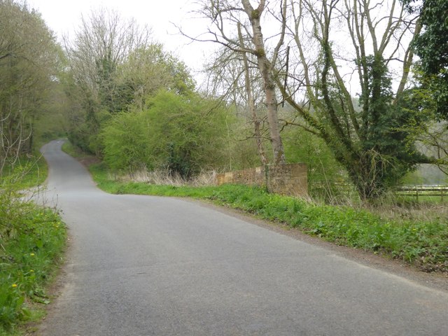
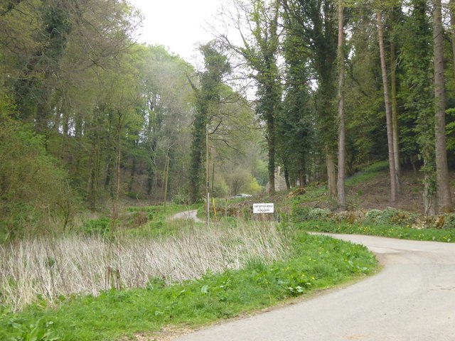
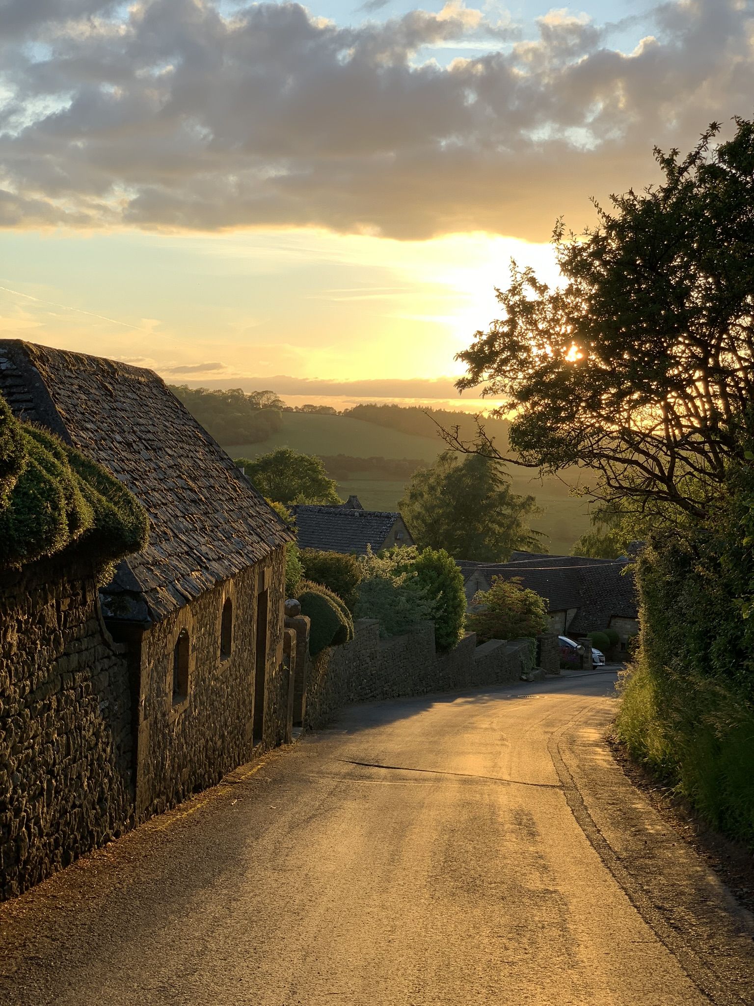
Dingle Bank Plantation is a picturesque woodland area located in Gloucestershire, England. Situated in the heart of the county, the plantation covers a vast expanse of approximately 200 acres. The site is known for its dense forest and diverse range of tree species, making it a popular destination for nature enthusiasts and hikers.

The plantation is primarily made up of deciduous trees, including oak, beech, and birch. These towering giants create a dense canopy that provides shelter for a variety of wildlife, such as deer, badgers, and squirrels. The forest floor is adorned with a carpet of wildflowers and ferns, adding to the enchanting atmosphere.

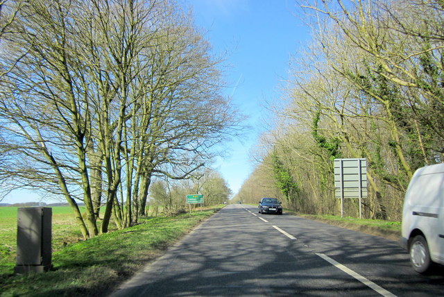
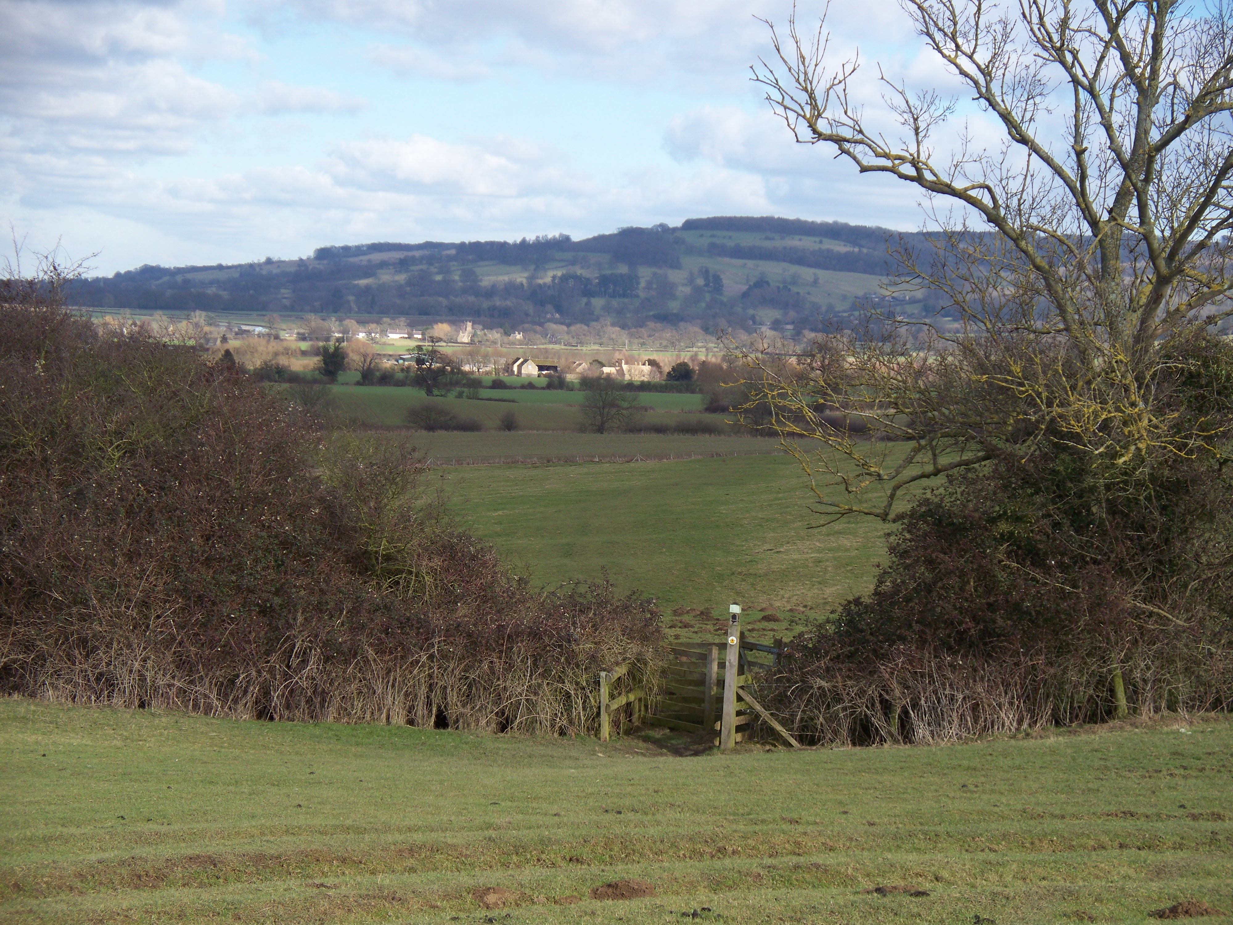
The plantation is crisscrossed by several well-maintained trails, allowing visitors to explore the woodland at their own pace. These paths offer stunning views of the surrounding countryside, with glimpses of rolling hills and meandering rivers. Dingle Bank Plantation also features a small stream that runs through it, providing a tranquil setting for picnics or a moment of reflection.

In addition to its natural beauty, the plantation also serves as an important conservation area. The management of the site focuses on preserving the biodiversity of the woodland and protecting its delicate ecosystem. This includes regular maintenance of the trails, tree planting initiatives, and controlled management of wildlife populations.

Overall, Dingle Bank Plantation is a captivating destination for those seeking a peaceful retreat in nature. Its thriving woodland, diverse wildlife, and well-maintained trails make it an ideal location for outdoor enthusiasts and those looking to connect with the natural world.

If you have any feedback on the listing, please let us know in the comments section below.

Dingle Bank Plantation Images

Images are sourced within 2km of 52.009654/-1.8058916 or Grid Reference SP1334. Thanks to Geograph Open Source API. All images are credited.

Road to Blockley Greenway Road leads down into Blockley.
Road to Blockley
Greenway Road leads down into Blockley.
Track and bridleway to Snowshill Hill farm
Narrow road with wide verges north of Snowshill Hill farm Showing old and modern forms of boundary - drystone wall or fencing
Narrow road with wide verges north of Snowshill Hill farm
Showing old and modern forms of boundary - drystone wall or fencing
Road junction at Smallthorns Cottage Sheltered by small copses
Road junction at Smallthorns Cottage
Sheltered by small copses
Minor road east of Smallthorns Cottage Looking eastwards, the road is starting to drop from the level ridge into a valley
Minor road east of Smallthorns Cottage
Looking eastwards, the road is starting to drop from the level ridge into a valley
Stile and sign for footpath, part of the Diamond Way
Bridge at the southern end of The Dingles wood The stream flows from the north through the wood; the road marks the edge of the woodland
Bridge at the southern end of The Dingles wood
The stream flows from the north through the wood; the road marks the edge of the woodland
Road to Far Upton Wold farm This road through woodland is part of the Diamond Way footpath
Road to Far Upton Wold farm
This road through woodland is part of the Diamond Way footpath
Headland footpath Headland footpath cut by a considerate farmer.  This path is just to the south of the A44 at Five Mile Drive.
Headland footpath
Headland footpath cut by a considerate farmer. This path is just to the south of the A44 at Five Mile Drive.
The B4081 passing through Nathan's Plantation The B4081 to Chipping Campden passing through Nathan's Plantation.
The B4081 passing through Nathan's Plantation
The B4081 to Chipping Campden passing through Nathan's Plantation.
Farmland track Track giving access to farmland to the north of the B4081 near Chipping Campden.
Farmland track
Track giving access to farmland to the north of the B4081 near Chipping Campden.
Headland daisies Daisies in a field headland beside the A44 Five Mile Drive near Blockley.
Headland daisies
Daisies in a field headland beside the A44 Five Mile Drive near Blockley.
Farmland beside Five Mile Drive Field headland beside Five Mile Drive and the A44 on the Cotswolds near Blockley.
Farmland beside Five Mile Drive
Field headland beside Five Mile Drive and the A44 on the Cotswolds near Blockley.
View to Forresters Cottage View to Forresters Cottage beside Five Mile Drive near Blockley.
View to Forresters Cottage
View to Forresters Cottage beside Five Mile Drive near Blockley.
Junction for Far Upton Wold Farm A private road to the farm goes left. A public footpath also follows it, used by the Diamond Way.
Junction for Far Upton Wold Farm
A private road to the farm goes left. A public footpath also follows it, used by the Diamond Way.
Log stacks by the road Tracks suggested these had been brought across the field from woodland to the right.
Log stacks by the road
Tracks suggested these had been brought across the field from woodland to the right.
Spring Hill House A grade II listed building, about 1757 with later additions and alterations.
Spring Hill House
A grade II listed building, about 1757 with later additions and alterations.
A44 Five Mile Drive Heading Towards Broadway
Show me another place!

Dingle Bank Plantation is located at Grid Ref: SP1334 (Lat: 52.009654, Lng: -1.8058916)

Administrative County: Gloucestershire

District: Cotswold

Police Authority: Gloucestershire

What 3 Words

///boom.seats.yummy. Near Blockley, Gloucestershire

Nearby Locations

Dingle Bank Plantation

Related Wikis

Seven Wells Hill

Seven Wells Hill is a prominent hill in the Cotswolds hill range in the counties of Gloucestershire and Worcestershire. At 319 metres (1,047 ft), is the...

Shenberrow Hill

Shenberrow Hill is a prominent hill in the Cotswolds hill range in the county of Gloucestershire and, at 304 metres (997 ft), is the third highest point...

Hornsleasow Quarry

Hornsleasow Quarry (grid reference SP131322) is a 3.5-hectare (8.6-acre) geological Site of Special Scientific Interest in Gloucestershire, notified in...

Broadway Tower, Worcestershire

Broadway Tower is an 18th-century folly near the village of Broadway, in the English county of Worcestershire. It is a Grade II listed building.Broadway...

Hornsleasow Roughs

Hornsleasow Roughs (grid reference SP117323) is a 28.24-hectare (69.8-acre) biological Site of Special Scientific Interest in Gloucestershire, notified...

Broad Campden

Broad Campden is a small village in Gloucestershire, England, with a church and pub, and notable for its beauty and fine walking trails. == History... ==

Blockley

Blockley is a village, civil parish and ecclesiastical parish in the Cotswold district of Gloucestershire, England, about 3 miles (5 km) northwest of Moreton...

Snowshill

Snowshill (locally SNOH-zəl, SNOZ-əl) is a small Cotswolds village and civil parish in Gloucestershire, England, located near Broadway, Worcestershire...

Nearby Amenities

Located within 500m of 52.009654,-1.8058916
Barrier: stile
Lat/Long: 52.0097764/-1.8119536
Barrier: stile
Lat/Long: 52.0101514/-1.8094315
Barrier: stile
Lat/Long: 52.0103363/-1.8077578
Fixme: Does Public Footpath continue SW?
Lat/Long: 52.0106533/-1.8054832
Power: pole
Lat/Long: 52.0072246/-1.8110034
Campden Ashes
Power: pole
Transformer: distribution
Voltage Primary: 11000
Lat/Long: 52.0070001/-1.8087892
Power: pole
Lat/Long: 52.0071157/-1.8099023
Power: pole
Lat/Long: 52.006783/-1.8113481
Power: pole
Lat/Long: 52.0073121/-1.8118697
The data included in this document is from www.openstreetmap.org. The data is made available under ODbL.

Have you been to Dingle Bank Plantation?

Leave your review of Dingle Bank Plantation below (or comments, questions and feedback).